Roxwell
Civil Parish in Essex Chelmsford
England
Roxwell
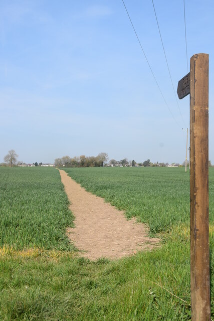
Roxwell is a civil parish located in the county of Essex, in the eastern part of England. It is situated approximately 5 miles northwest of the city of Chelmsford and covers an area of around 11 square miles. The parish is predominantly rural, with a few small settlements scattered throughout the area.
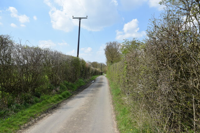
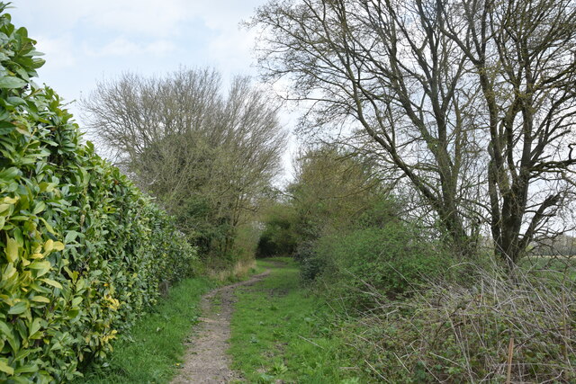
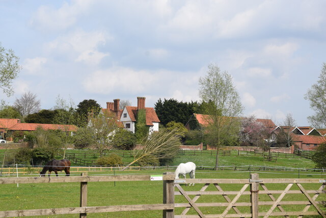
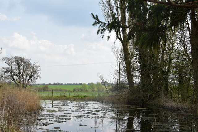
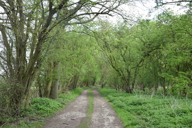
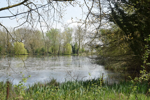
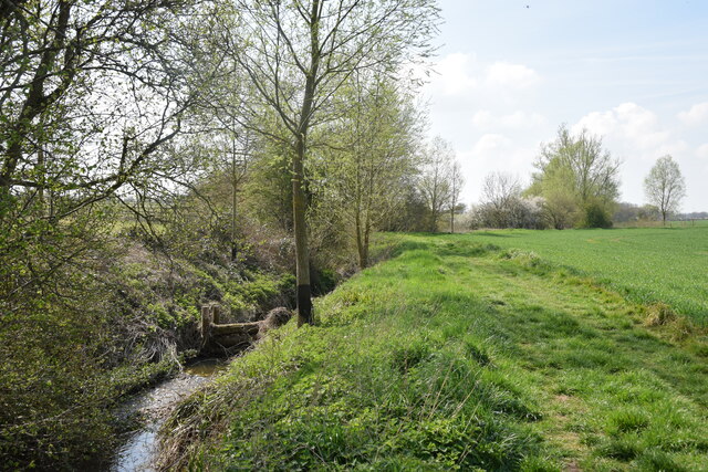
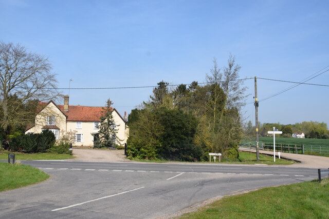
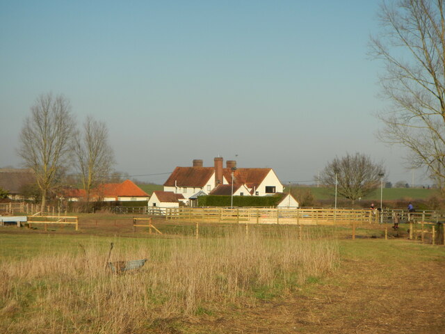
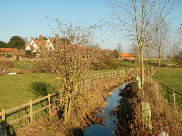
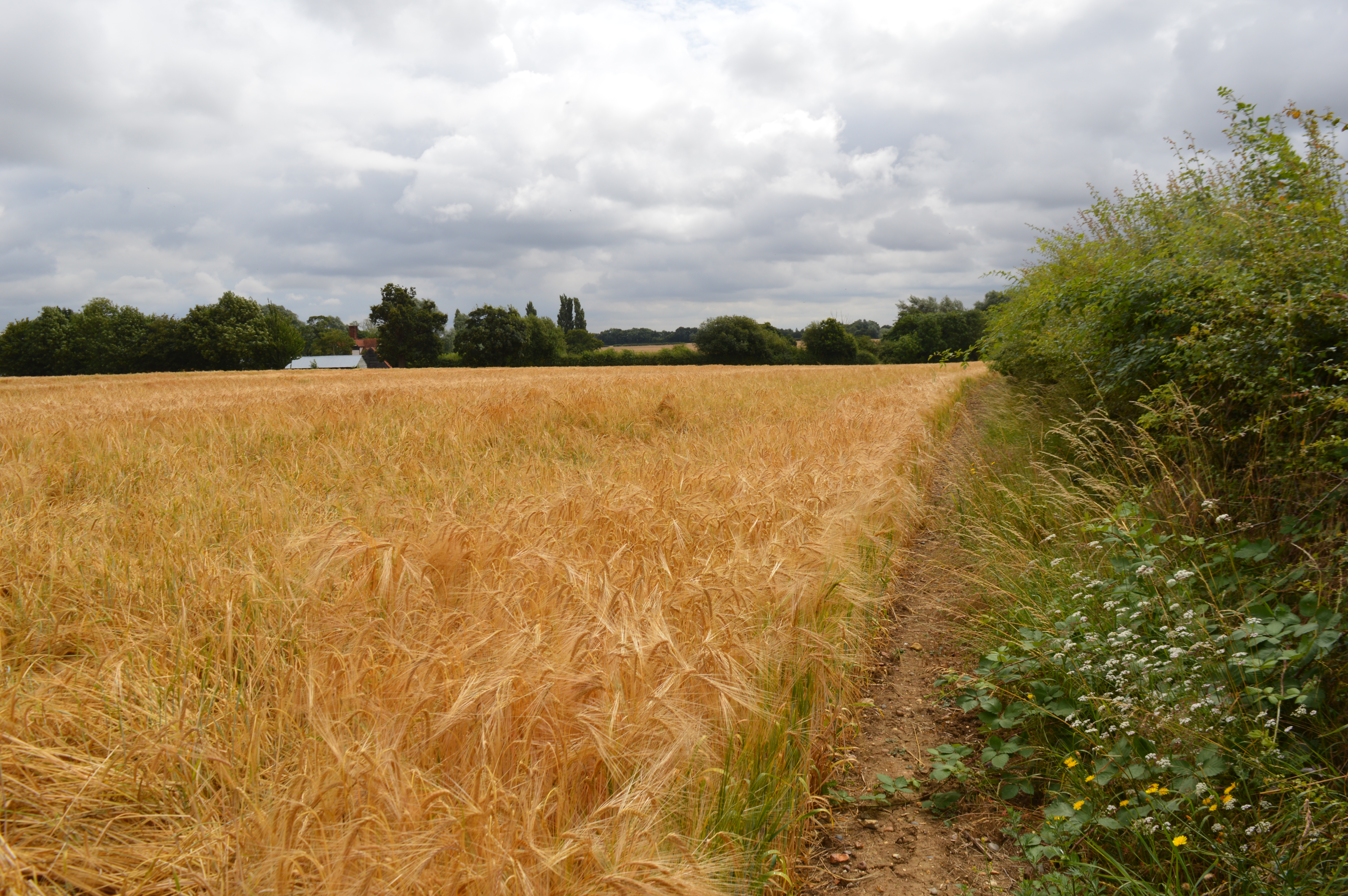
The village of Roxwell itself is the main settlement within the parish, and it has a population of around 1,200 residents. It is characterized by its picturesque surroundings, with rolling countryside and farmland stretching as far as the eye can see. The village has a charming and peaceful atmosphere, offering a tranquil retreat from the hustle and bustle of nearby urban areas.
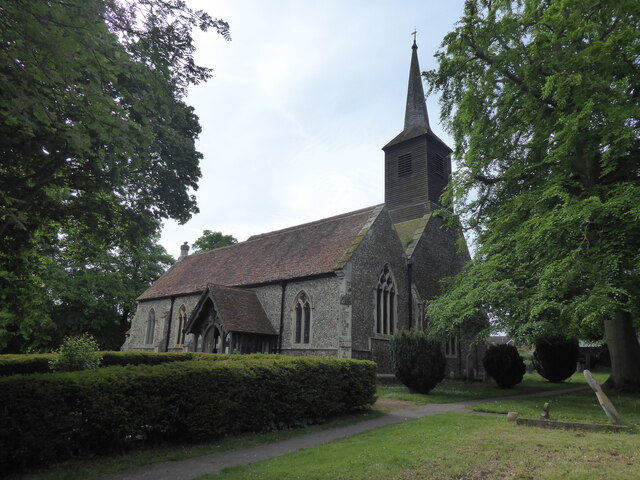
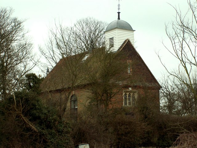
In terms of amenities, Roxwell has a primary school, a village hall, and a church, which dates back to the 14th century and is dedicated to Saint Michael. The church is a prominent feature of the village and is known for its beautiful stained glass windows and historic architecture.
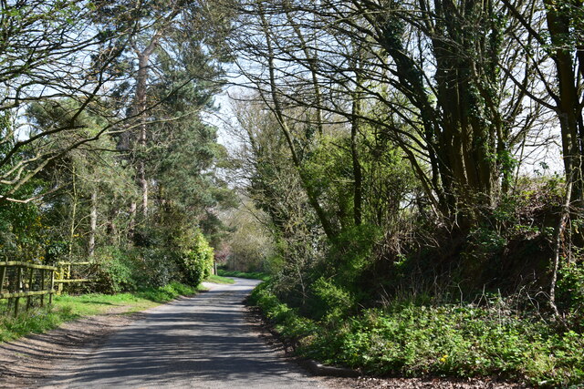
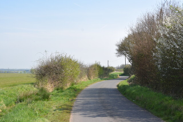
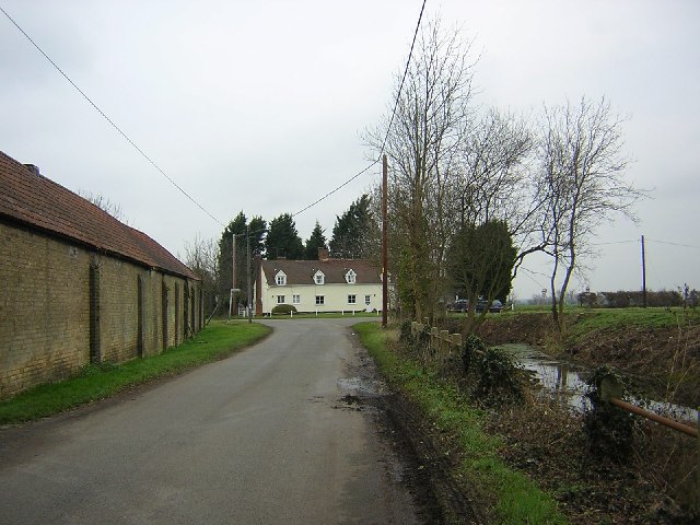
The parish is well-connected, with good transportation links to nearby towns and cities. The A1060 road runs through Roxwell, providing easy access to Chelmsford and other surrounding areas. There are also regular bus services that connect the village with neighboring communities.
Overall, Roxwell is a charming and idyllic rural parish, offering a peaceful and close-knit community for its residents. Its beautiful countryside and historic landmarks make it an attractive destination for visitors seeking a taste of traditional English village life.
If you have any feedback on the listing, please let us know in the comments section below.
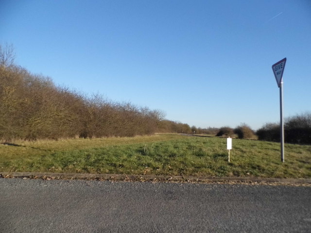
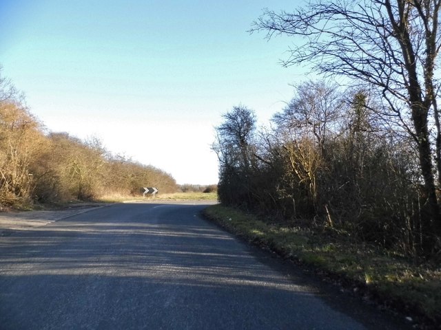
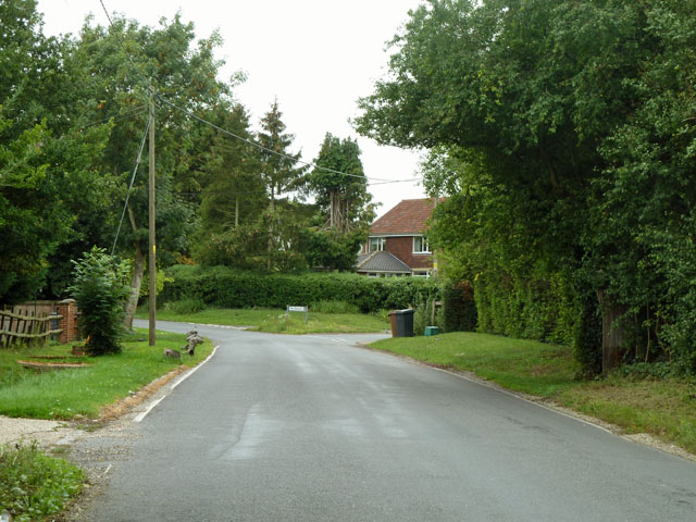
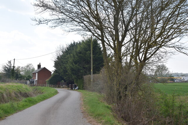
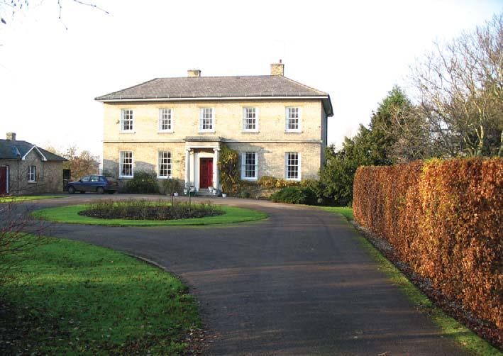
Roxwell Images
Images are sourced within 2km of 51.753013/0.372955 or Grid Reference TL6308. Thanks to Geograph Open Source API. All images are credited.
Roxwell is located at Grid Ref: TL6308 (Lat: 51.753013, Lng: 0.372955)
Administrative County: Essex
District: Chelmsford
Police Authority: Essex
What 3 Words
///awake.daydream.realm. Near Writtle, Essex
Nearby Locations
Related Wikis

Boyton Cross
Boyton Cross is a hamlet in Essex, England. It is approximately half a mile from the village of Roxwell and is situated mainly along the A1060 road which...

Chalk End
Chalk End is a hamlet in the civil parish of Roxwell and the Chelmsford District of Essex, England. The hamlet is 1.5 miles (2.4 km) northwest from the...
Cooksmill Green
Cooksmill Green is a hamlet in both the civil parish of Roxwell and Highwood in the Chelmsford District of Essex, England. It is situated approximately...

Roxwell
Roxwell is a village and civil parish in the Chelmsford district of Essex, England. The village is approximately 4 miles (6 km) west from the centre of...
Newney Green Pit
Newney Green Pit is a 0.07-hectare (0.17-acre) geological Site of Special Scientific Interest west of Writtle in Essex. It is a Geological Conservation...
Shellow Bowells
Shellow Bowells (or occasionally misspelt as Shellow Bowels) is a village and former civil parish, now in the parish of Willingale, in the Epping Forest...
Sturgeons House
Sturgeons House is a Grade II listed country estate located west of the small village of Writtle in Essex, England. At its height, the estate comprised...

Mashbury
Mashbury is a small village and civil parish in the Chelmsford district of Essex, England. The population of the village is included in the civil parish...
Nearby Amenities
Located within 500m of 51.753013,0.372955Have you been to Roxwell?
Leave your review of Roxwell below (or comments, questions and feedback).