Rowington

Civil Parish in Warwickshire Warwick

England

Rowington

Grand Union Canal near Turner's Green
Grand Union Canal near Turner's Green Credit: Mark Percy

Rowington is a civil parish located in the county of Warwickshire, England. It is situated about 4 miles west of the town of Warwick and approximately 6 miles south-east of the city of Birmingham. The parish covers an area of around 6.5 square miles and has a population of approximately 1,400 residents.

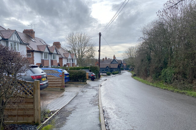
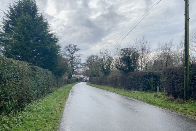
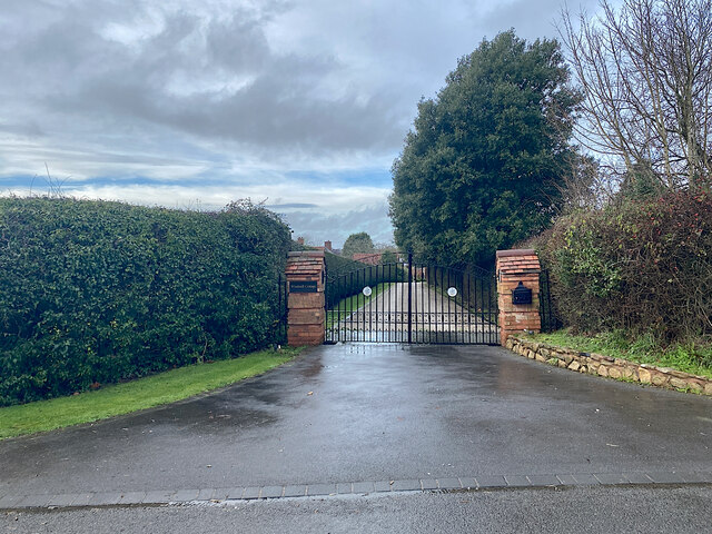
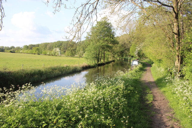
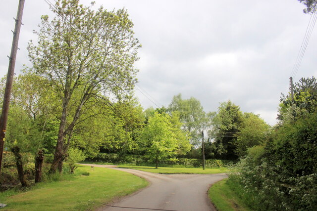
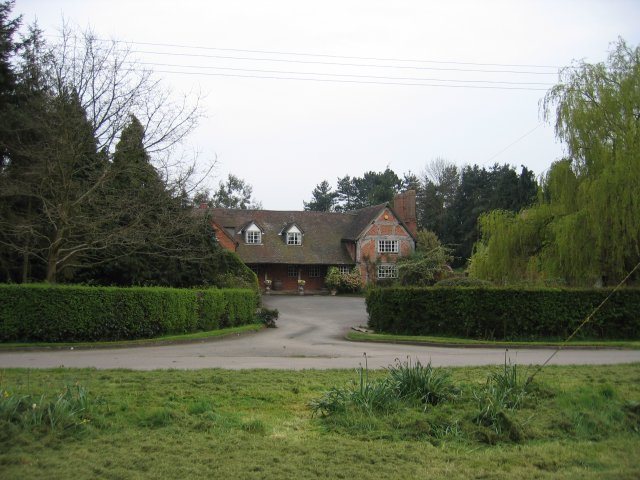
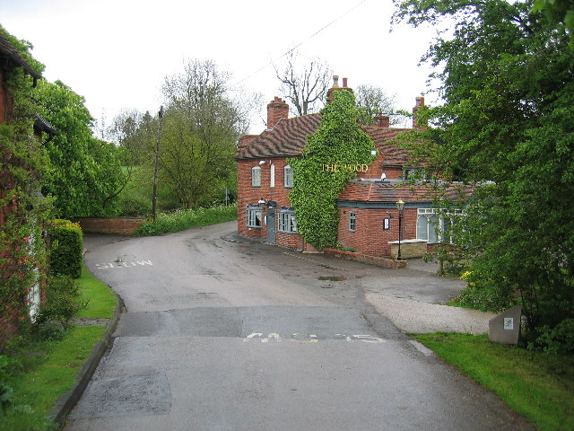
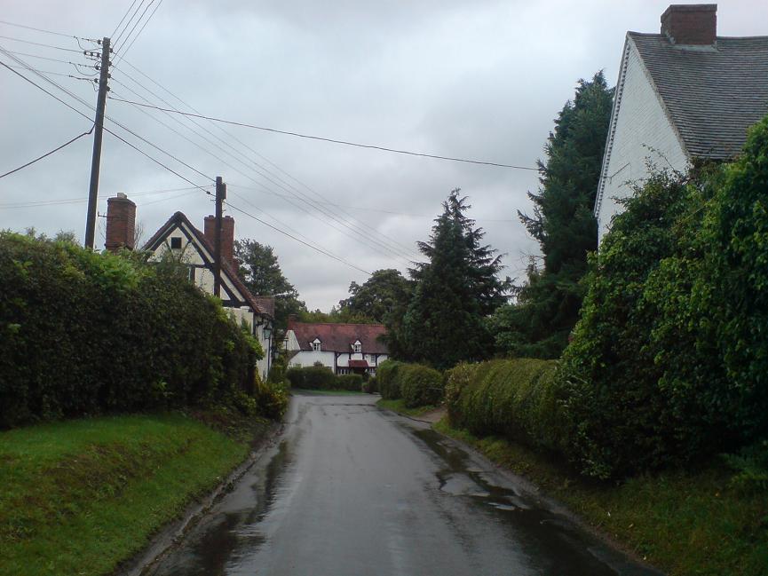
Rowington is a rural area characterized by its picturesque countryside, with rolling hills, open fields, and charming villages. The parish is predominantly agricultural, with farming being the primary occupation of its residents. The landscape is dotted with a mix of traditional farmhouses, cottages, and modern residential developments.

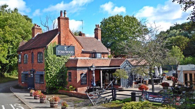
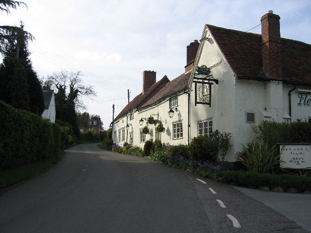
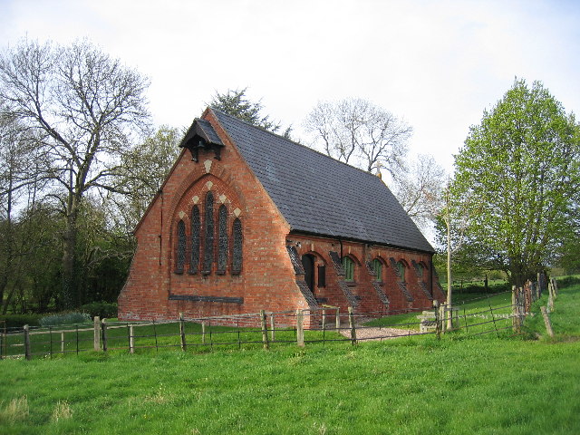
The heart of Rowington is the village of Rowington Green, which is home to the parish church, St. Laurence's Church. This historic church dates back to the 12th century and is known for its beautiful architecture and stained glass windows. The village also boasts a primary school, a village hall, and a local pub, providing essential amenities for its residents.

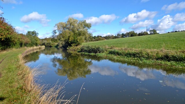
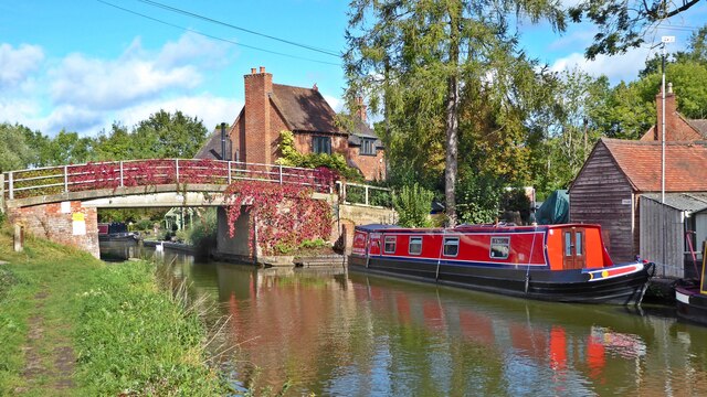
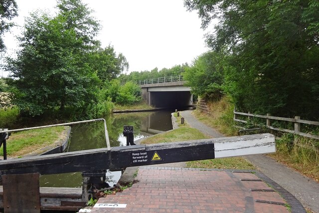
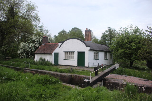
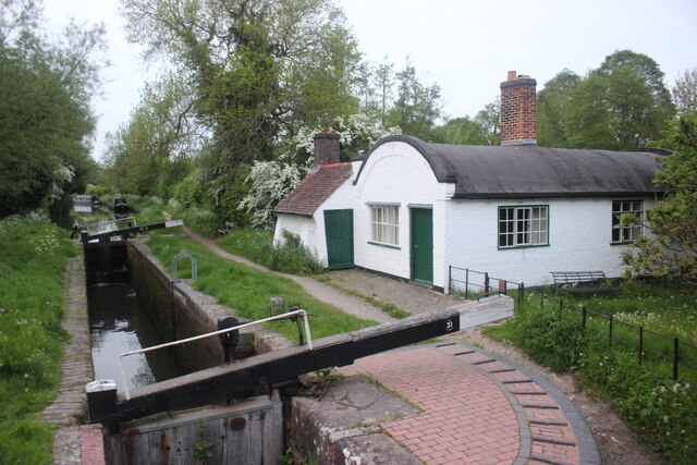
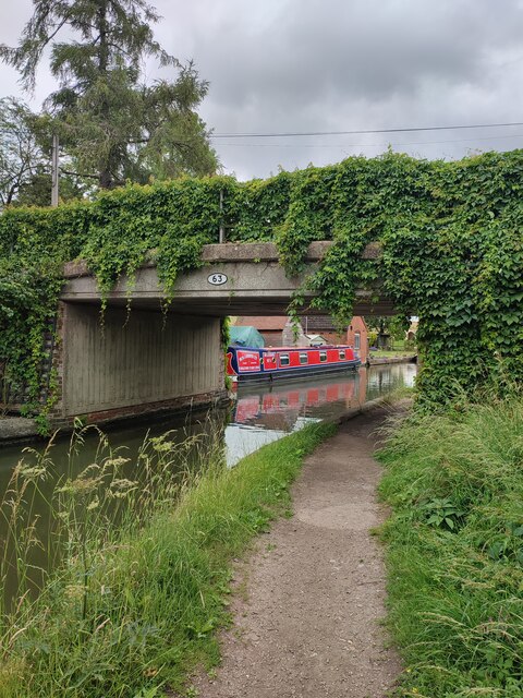
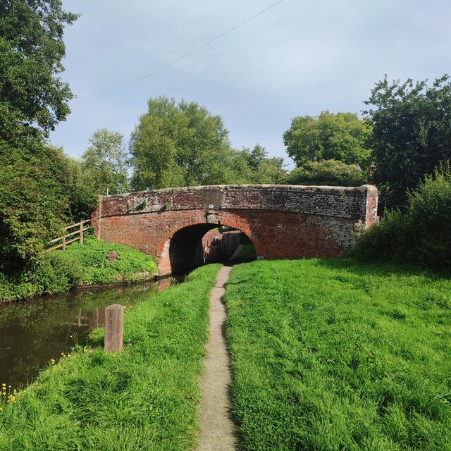
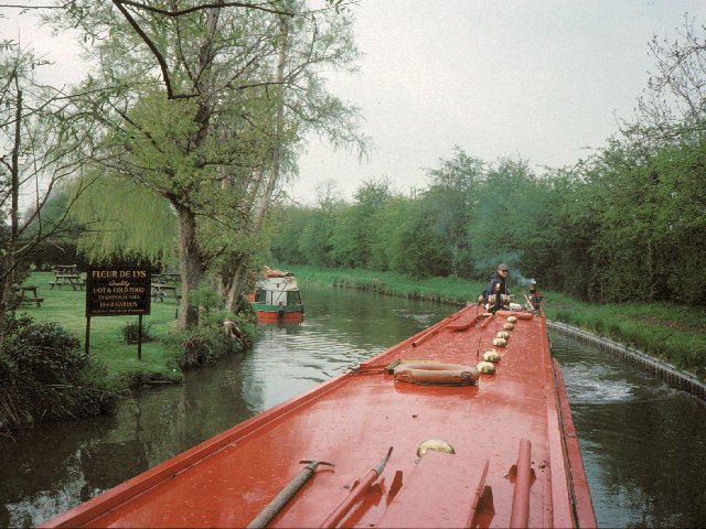
Rowington offers a tranquil and peaceful environment for its residents, with plenty of opportunities for outdoor activities such as walking, cycling, and horse riding. The Grand Union Canal runs through the parish, providing scenic walking routes and opportunities for boating enthusiasts.

Overall, Rowington is a charming rural parish with a strong sense of community and a rich agricultural heritage. It offers a peaceful and idyllic lifestyle for its residents, while still being within easy reach of larger towns and cities for additional amenities and employment opportunities.

If you have any feedback on the listing, please let us know in the comments section below.

Rowington Images

Images are sourced within 2km of 52.311918/-1.706464 or Grid Reference SP2068. Thanks to Geograph Open Source API. All images are credited.

Grand Union Canal near Turner's Green
Tom O'The Wood country pub and restaurant
Grand Union Canal at Turner's Green
Kingswood-Stratford Canal M40 Motorway Bridge.
Kingswood-Stratford Canal
M40 Motorway Bridge.
Approaching Turner's Green Finwood Road drops down into the canalside hamlet.
Approaching Turner's Green
Finwood Road drops down into the canalside hamlet.
Southwest on Finwod Road Finwood Road turns south from the Old Warwick Road for Turner's Green, ahead, and Lowsonford.
Southwest on Finwod Road
Finwood Road turns south from the Old Warwick Road for Turner's Green, ahead, and Lowsonford.
Gates to Windmill Cottage, Turner's Green An entrance on Finwood Road. Old maps show Windmill House here and a circular feature where a windmill  might have been. This is the same relatively high ground as the Rowington Mill site <a href="https://www.geograph.org.uk/photo/7378320">SP2070 : Rowington Mill, Rowington Green</a>.
Gates to Windmill Cottage, Turner's Green
An entrance on Finwood Road. Old maps show Windmill House here and a circular feature where a windmill might have been. This is the same relatively high ground as the Rowington Mill site SP2070 : Rowington Mill, Rowington Green.
Lock Keeper's Cottage, Lock 31, Stratford Upon Avon Canal. This is a relatively unaltered barrel roofed lock keeprs cottage located next to the bridge in Lowsonford where the road to Shrewley crosses the canal.
Lock Keeper's Cottage, Lock 31, Stratford Upon Avon Canal.
This is a relatively unaltered barrel roofed lock keeprs cottage located next to the bridge in Lowsonford where the road to Shrewley crosses the canal.
Lock Keeper's Cottage Lock 31 Stratford Upon Avon Canal Barrel roofed cottage located adjacent to the canal lock. Photo taken from the bridge where Narrow Lane crosses the canal.
Lock Keeper's Cottage Lock 31 Stratford Upon Avon Canal
Barrel roofed cottage located adjacent to the canal lock. Photo taken from the bridge where Narrow Lane crosses the canal.
Stratford Upon Avon Canal This is in the middle of the long stretch between lock 33 and lock 32 of the canal.
Stratford Upon Avon Canal
This is in the middle of the long stretch between lock 33 and lock 32 of the canal.
Road Junction in Holywell Holywell is a small village well off the beaten track just north of Claverdon.
Road Junction in Holywell
Holywell is a small village well off the beaten track just north of Claverdon.
Turner's Green Bridge
Lowsonford Bridge
Lowsonford Bridge
Lowsonford The Stratford-upon-Avon canal passing the gardens of the Fleur de lys public house in Lowsonford
Lowsonford
The Stratford-upon-Avon canal passing the gardens of the Fleur de lys public house in Lowsonford
Holywell A typical Warwickshire timber framed building seen across the village green.
Holywell
A typical Warwickshire timber framed building seen across the village green.
Fleur de Lys, Lowsonford This canalside pub is now a popular dining out venue.  It was also the original home of the famed Fleur de Lys pies before their popularity and success resulted in their manufacture being moved to Emscote Mill in Warwick (see <a href="https://www.geograph.org.uk/photo/1210164">SP2965 : Site of Emscote Mill</a> ).
Fleur de Lys, Lowsonford
This canalside pub is now a popular dining out venue. It was also the original home of the famed Fleur de Lys pies before their popularity and success resulted in their manufacture being moved to Emscote Mill in Warwick (see SP2965 : Site of Emscote Mill ).
St Luke's A small chapel on the edge of Lowsonford
St Luke's
A small chapel on the edge of Lowsonford
Turner's Green The Tom O'the Wood public house, taken from the bridge over the adjacent Grand Union Canal
Turner's Green
The Tom O'the Wood public house, taken from the bridge over the adjacent Grand Union Canal
Show me another place!

Rowington is located at Grid Ref: SP2068 (Lat: 52.311918, Lng: -1.706464)

Administrative County: Warwickshire

District: Warwick

Police Authority: Warwickshire

What 3 Words

///surprises.assess.coil. Near Wroxall, Warwickshire

Nearby Locations

Rowington

Related Wikis

Rowington

Rowington is a village and civil parish in the English county of Warwickshire. It is five miles north-west of the town of Warwick and five miles south...

Mercia Mudstone Group

The Mercia Mudstone Group is an early Triassic lithostratigraphic group (a sequence of rock strata) which is widespread in Britain, especially in the English...

Lowsonford

Lowsonford is a small village within the parish of Rowington in Warwickshire, England. The village lies 4 miles (6.4 km) north-east of Henley-in-Arden...

Shrewley

Shrewley is a village and civil parish in Warwickshire, England, about 5 miles north-west of Warwick. It consists of Little Shrewley, and Shrewley Common...

Nearby Amenities

Located within 500m of 52.311918,-1.706464
Barrier: kissing_gate
Lat/Long: 52.3083795/-1.7052327
The data included in this document is from www.openstreetmap.org. The data is made available under ODbL.

Have you been to Rowington?

Leave your review of Rowington below (or comments, questions and feedback).