Ripponden

Civil Parish in Yorkshire Calderdale

England

Ripponden

Old Milestone by the A58, Rochdale Road, Baitings Reservoir The milestone is located at the west end of the reservoir on the grass verge by a lay-by on the south side of the road. Parish of Ripponden (Calderdale District ). Carved stone post, erected by the Rochdale to Halifax & Elland turnpike trust in the 18th century. Re-instated after some years in Mytholmroyd highways depot by 2014.

Inscription reads:-
: TO / ROCHDALE / 8 / MILES : : TO / HALIFAX / 8 / MILES :
Cut bench mark on rear of stone.

Milestone Society National ID: YW_HARO08
Old Milestone by the A58, Rochdale Road, Baitings Reservoir Credit: Brian Davey

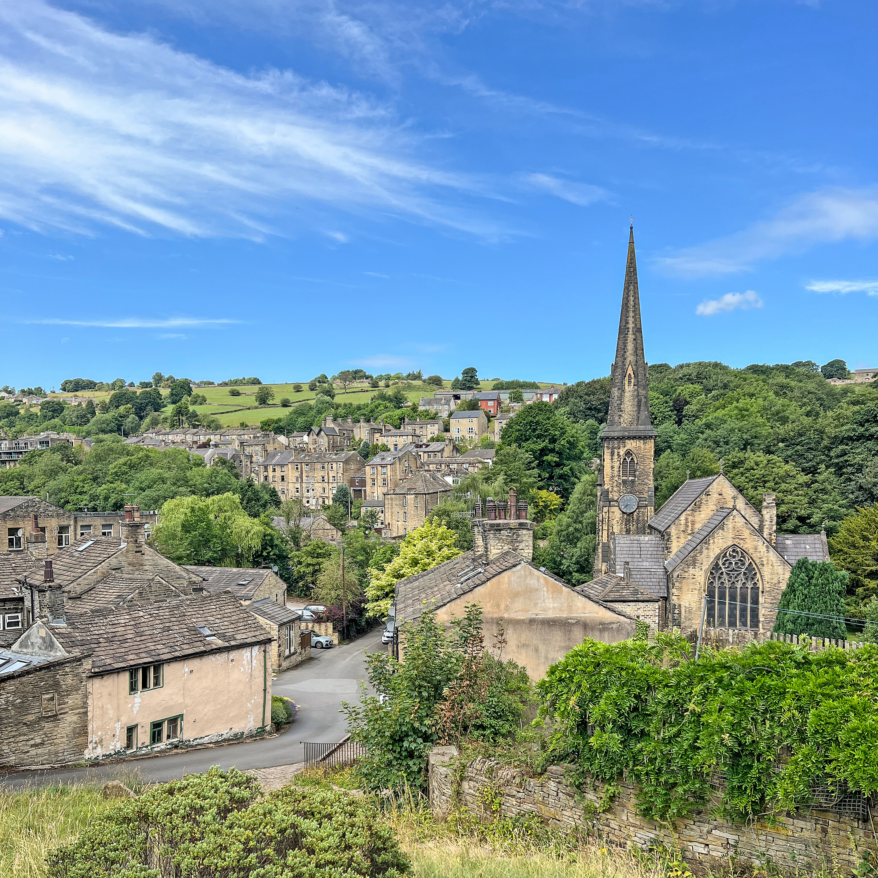
Ripponden is a civil parish located in the Metropolitan Borough of Calderdale, West Yorkshire, England. Situated in the Ryburn Valley, it lies approximately 4 miles south-west of Halifax and 19 miles north-west of Leeds. The village is nestled in the stunning Pennine hills and offers breathtaking views of the surrounding countryside.

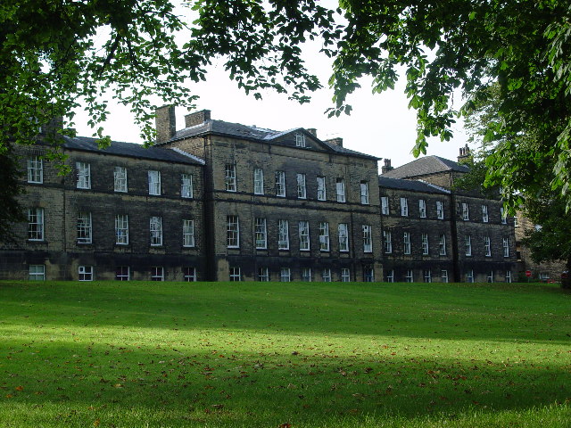
Ripponden has a rich history that dates back to the 13th century when it was a thriving market town. Today, it retains much of its historic charm with several well-preserved buildings, including the Grade II listed Old Bridge and St. Bartholomew's Church, which dates back to the 15th century.

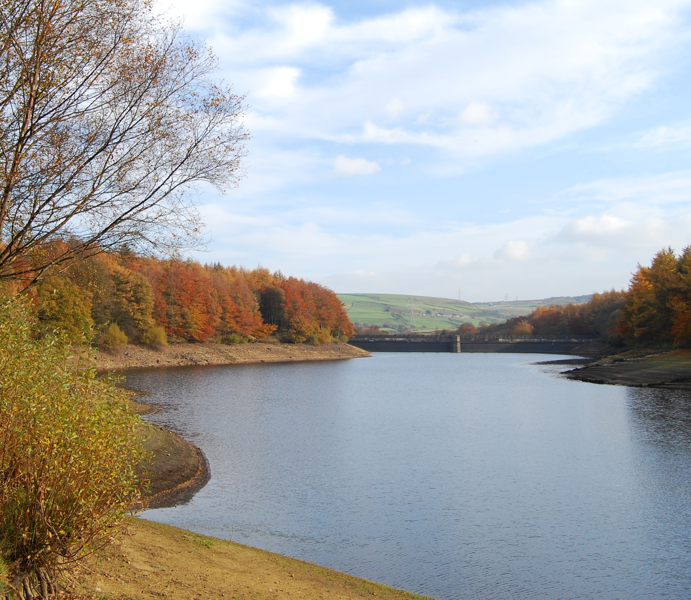
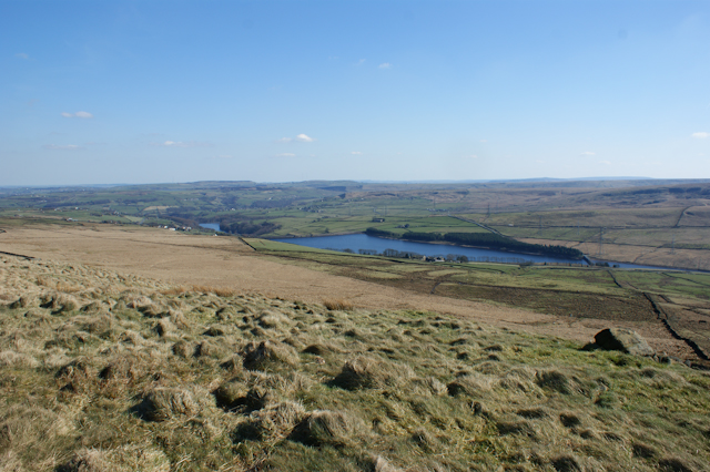
The village is a popular destination for outdoor enthusiasts, thanks to its proximity to the Pennine Way and the Calderdale Way, which offer miles of scenic walking and cycling routes. The nearby Rishworth Moor and Blackstone Edge provide stunning landscapes for hikers and nature lovers.

Ripponden also boasts a vibrant community with a range of amenities, including local shops, pubs, and restaurants. The village hosts various events throughout the year, such as the Ripponden Christmas Market and the Rushbearing Festival, which celebrates the ancient tradition of carrying rushes to the church.

Transport links in Ripponden are excellent, with easy access to the M62 motorway, connecting the village to major cities like Manchester and Leeds. The nearby towns of Halifax and Huddersfield provide additional shopping and entertainment options.

Overall, Ripponden is a picturesque village with a rich heritage and a strong sense of community, making it an attractive place to live or visit.

If you have any feedback on the listing, please let us know in the comments section below.

Ripponden Images

Images are sourced within 2km of 53.658466/-1.975468 or Grid Reference SE0117. Thanks to Geograph Open Source API. All images are credited.

Old Milestone by the A58, Rochdale Road, Baitings Reservoir The milestone is located at the west end of the reservoir on the grass verge by a lay-by on the south side of the road. Parish of Ripponden (Calderdale District ). Carved stone post, erected by the Rochdale to Halifax & Elland turnpike trust in the 18th century. Re-instated after some years in Mytholmroyd highways depot by 2014.

Inscription reads:-
: TO / ROCHDALE / 8 / MILES : : TO / HALIFAX / 8 / MILES :
Cut bench mark on rear of stone.

Milestone Society National ID: YW_HARO08
Old Milestone by the A58, Rochdale Road, Baitings Reservoir
The milestone is located at the west end of the reservoir on the grass verge by a lay-by on the south side of the road. Parish of Ripponden (Calderdale District ). Carved stone post, erected by the Rochdale to Halifax & Elland turnpike trust in the 18th century. Re-instated after some years in Mytholmroyd highways depot by 2014. Inscription reads:- : TO / ROCHDALE / 8 / MILES : : TO / HALIFAX / 8 / MILES : Cut bench mark on rear of stone. Milestone Society National ID: YW_HARO08
Old milestone The half way stone, Rochdale 8, Halifax 8, is on the grass verge of the A58 at the west end of Baitings Reservoir.   It was reset by the roadside in 2014 after being found in 2009 at the Highways Depot yard at Mytholmroyd where it was painted by Brian Davey.
Old milestone
The half way stone, Rochdale 8, Halifax 8, is on the grass verge of the A58 at the west end of Baitings Reservoir. It was reset by the roadside in 2014 after being found in 2009 at the Highways Depot yard at Mytholmroyd where it was painted by Brian Davey.
Old Sheep Wash by River Ryburn View from after crossing access land stile by A58 Rochdale Road
Old Sheep Wash by River Ryburn
View from after crossing access land stile by A58 Rochdale Road
Keep out! - No longer welcome Large boulders now prevent the public from using the Yorkshire Water car park and picnic area at Baitings.
Keep out! - No longer welcome
Large boulders now prevent the public from using the Yorkshire Water car park and picnic area at Baitings.
Rishworth Moor in June Cotton grass is in evidence.
Rishworth Moor in June
Cotton grass is in evidence.
Booth Wood Reservoir Car Park
A672 Oldham Road at Booth Wood Reservoir
The centre of the dam, Baitings Reservoir, Rishworth There was a strong blustery wind that was producing considerable waves.
The centre of the dam, Baitings Reservoir, Rishworth
There was a strong blustery wind that was producing considerable waves.
Baitings Reservoir spillway in action The water level was not quite up to the weir, but waves were spilling over the weir in random fashion.
Baitings Reservoir spillway in action
The water level was not quite up to the weir, but waves were spilling over the weir in random fashion.
Walking on the prom, Baitings Reservoir It felt like a winter walk by the sea. I had to put my elbows on the parapet wall to keep the camera reasonably steady.
Walking on the prom, Baitings Reservoir
It felt like a winter walk by the sea. I had to put my elbows on the parapet wall to keep the camera reasonably steady.
Baitings Reservoir from the Rochdale Road
A lay-by on the Rochdale Road
The path over Baitings Reservoir
Looking east along the A58, Rochdale Road Taken from near Baiting Reservoir.
Looking east along the A58, Rochdale Road
Taken from near Baiting Reservoir.
The Old Bore at Rishworth
Sheep at Baitings Farm The location is approximate.
Sheep at Baitings Farm
The location is approximate.
Former Roadside Chapel (Baptist), Rishworth Seen from the side; a wing at the rear has a round-headed window.
Former Roadside Chapel (Baptist), Rishworth
Seen from the side; a wing at the rear has a round-headed window.
Former Roadside Chapel (Baptist), Rishworth The front does not look like a chapel, apart from the gate. The large ventilators on the roof are also unusual for a place of worship, although normal for meeting rooms of the late 19C. The 1893 1:2500 map shows that the two houses on the south side of the chapel were a post office and a Sunday School. On the 1907 map a large Sunday School had been built behind the chapel, which might also have been rebuilt or altered. This map also showed a small burial ground on the north side of the chapel.
Former Roadside Chapel (Baptist), Rishworth
The front does not look like a chapel, apart from the gate. The large ventilators on the roof are also unusual for a place of worship, although normal for meeting rooms of the late 19C. The 1893 1:2500 map shows that the two houses on the south side of the chapel were a post office and a Sunday School. On the 1907 map a large Sunday School had been built behind the chapel, which might also have been rebuilt or altered. This map also showed a small burial ground on the north side of the chapel.
Show me another place!

Ripponden is located at Grid Ref: SE0117 (Lat: 53.658466, Lng: -1.975468)

Division: West Riding

Administrative County: West Yorkshire

District: Calderdale

Police Authority: West Yorkshire

What 3 Words

///woodstove.episodes.numeral. Near Ripponden, West Yorkshire

Related Wikis

Nearby Amenities

Located within 500m of 53.658466,-1.975468
Design: barrel
Power: tower
Lat/Long: 53.6606247/-1.9689086
Design: barrel
Power: tower
Lat/Long: 53.6610737/-1.9759446
Design: barrel
Power: tower
Lat/Long: 53.6613463/-1.9803557
Power: tower
Lat/Long: 53.6580504/-1.9696334
Power: tower
Lat/Long: 53.6589688/-1.9749318
Power: tower
Lat/Long: 53.6597164/-1.9791128
Power: pole
Lat/Long: 53.660959/-1.980179
Power: pole
Lat/Long: 53.660938/-1.9790375
Power: pole
Lat/Long: 53.6609161/-1.9778082
Power: pole
Lat/Long: 53.6609142/-1.9772582
Power: pole
Lat/Long: 53.6608695/-1.9758475
Power: pole
Lat/Long: 53.6606522/-1.9749397
Power: pole
Lat/Long: 53.6603117/-1.9735656
Power: pole
Lat/Long: 53.6599922/-1.9722422
Power: pole
Lat/Long: 53.661028/-1.9816113
Line Management: transition
Material: wood
Power: pole
Lat/Long: 53.6582488/-1.9734832
Power: pole
Lat/Long: 53.6577866/-1.9738183
Power: pole
Lat/Long: 53.6571133/-1.9743243
Power: pole
Lat/Long: 53.6564442/-1.974784
Line Management: transition
Material: wood
Power: pole
Lat/Long: 53.6589556/-1.9729485
Power: pole
Lat/Long: 53.6593194/-1.9727095
The data included in this document is from www.openstreetmap.org. The data is made available under ODbL.

Have you been to Ripponden?

Leave your review of Ripponden below (or comments, questions and feedback).