Brunshaw

Settlement in Lancashire Burnley

England

Brunshaw

WWII Lancashire: Ghost Signs of the Home Front  (22) -
Emergency Water Supply, Hand Bridge, Todmorden Road, Burnley

"EWS Hatch"

A rare EWS sign of metal on the bridge over the River Calder. "EWS Hatch" may refer to a facility to obtain an emergency supply of water from the river (below the bridge).

<a href="https://www.geograph.org.uk/photo/6945367">SD8432 : WWII Lancashire: Ghost Signs of the Home Front  (23)</a>
WWII Lancashire: Ghost Signs of the Home Front (22) Credit: Mike Searle

Brunshaw is a small residential area located in the town of Burnley, Lancashire, England. Situated to the east of the town center, Brunshaw is bordered by the neighborhoods of Daneshouse and Rosehill. It is part of the larger ward known as Brunshaw and Bank Hall.

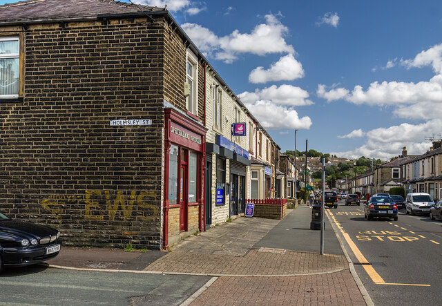
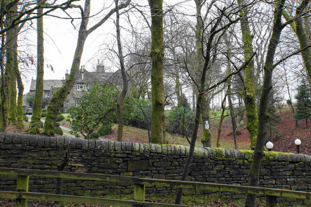
The area is primarily characterized by its residential nature, consisting of a mix of housing types including terraced houses, semi-detached properties, and a few detached homes. The architecture in Brunshaw spans various periods, with some properties dating back to the late 19th century. The streets are generally lined with rows of houses, creating a close-knit community feel.

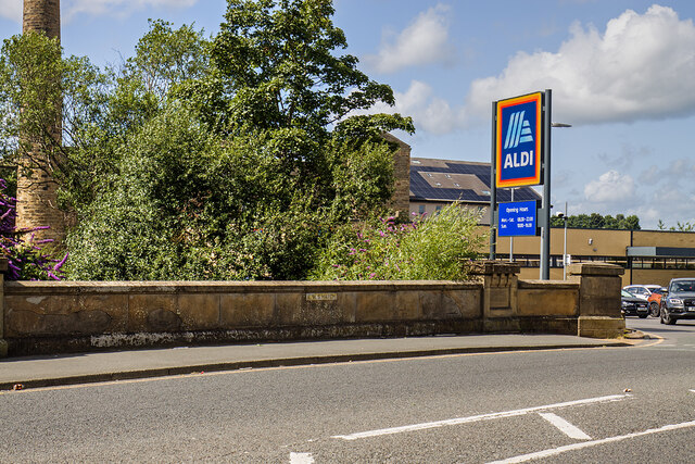
Brunshaw benefits from its proximity to several amenities and services. Within a short distance, residents can access local shops, convenience stores, and supermarkets for their daily needs. There are also a number of schools in the area, providing educational opportunities for families with children.

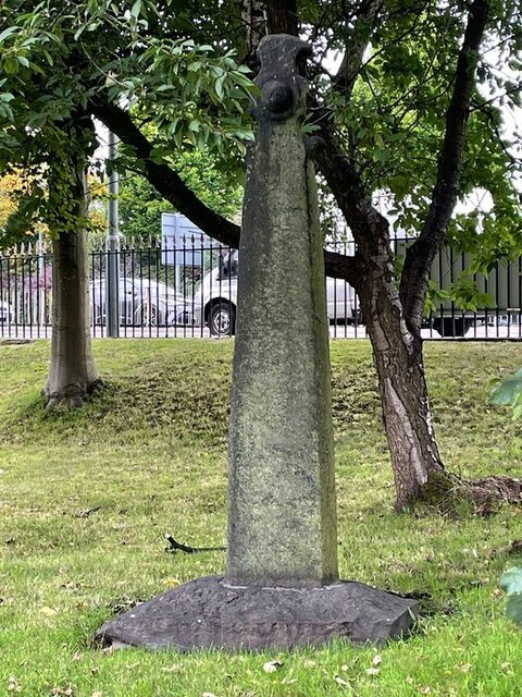
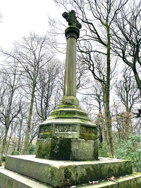
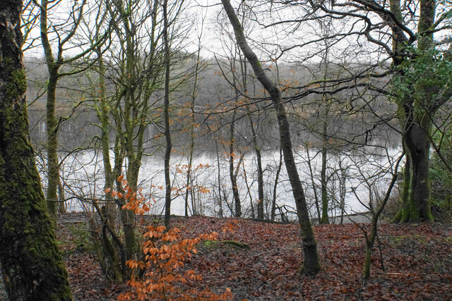
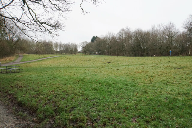
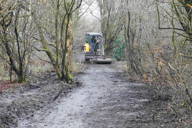
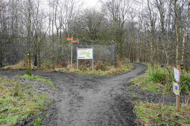
For recreational activities, Brunshaw offers easy access to several parks and green spaces, such as Towneley Park and Thompson Park, where residents can enjoy leisurely walks, picnics, and outdoor sports. The neighborhood is also well-connected to the town center, with regular bus services and good road links, making it convenient for commuting and accessing the wider range of amenities available in Burnley.

Overall, Brunshaw is a peaceful residential area that provides a close community atmosphere while offering easy access to essential services and recreational opportunities.

If you have any feedback on the listing, please let us know in the comments section below.
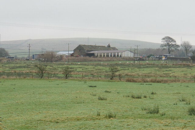
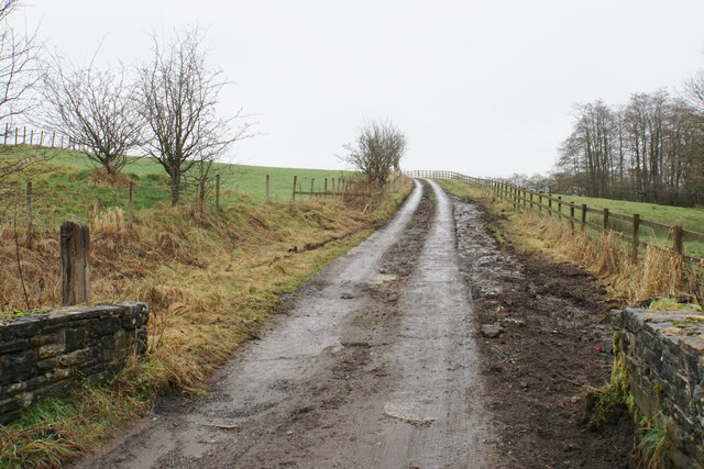
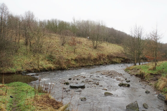
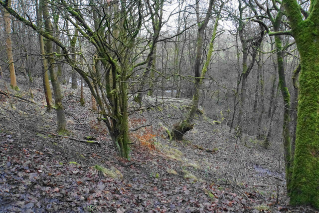
Brunshaw Images

Images are sourced within 2km of 53.785925/-2.216098 or Grid Reference SD8532. Thanks to Geograph Open Source API. All images are credited.

WWII Lancashire: Ghost Signs of the Home Front  (22) -
Emergency Water Supply, Hand Bridge, Todmorden Road, Burnley

"EWS Hatch"

A rare EWS sign of metal on the bridge over the River Calder. "EWS Hatch" may refer to a facility to obtain an emergency supply of water from the river (below the bridge).

<a href="https://www.geograph.org.uk/photo/6945367">SD8432 : WWII Lancashire: Ghost Signs of the Home Front  (23)</a>
WWII Lancashire: Ghost Signs of the Home Front (22)
- Emergency Water Supply, Hand Bridge, Todmorden Road, Burnley "EWS Hatch" A rare EWS sign of metal on the bridge over the River Calder. "EWS Hatch" may refer to a facility to obtain an emergency supply of water from the river (below the bridge). SD8432 : WWII Lancashire: Ghost Signs of the Home Front (23)
WWII Lancashire: Ghost Signs of the Home Front  (24) -
Emergency Water Supply, Holmsley Street, at junction with Lyndhurst Road, Burnley

"EWS 100 yds"

<a href="https://www.geograph.org.uk/photo/6945363">SD8432 : WWII Lancashire: Ghost Signs of the Home Front  (25)</a>
WWII Lancashire: Ghost Signs of the Home Front (24)
- Emergency Water Supply, Holmsley Street, at junction with Lyndhurst Road, Burnley "EWS 100 yds" SD8432 : WWII Lancashire: Ghost Signs of the Home Front (25)
WWII Lancashire: Ghost Signs of the Home Front  (25) -
Emergency Water Supply, Holmsley Street, at junction with Lyndhurst Road, Burnley

"EWS 100 yds"

                              *********
START: <a href="https://www.geograph.org.uk/photo/6944970">SJ8498 : WWII Lancashire: Ghost Signs of the Home Front  (1)</a>
WWII Lancashire: Ghost Signs of the Home Front (25)
- Emergency Water Supply, Holmsley Street, at junction with Lyndhurst Road, Burnley "EWS 100 yds" ********* START: SJ8498 : WWII Lancashire: Ghost Signs of the Home Front (1)
WWII Lancashire: Ghost Signs of the Home Front  (23) -
Emergency Water Supply,  Hand Bridge, Todmorden Road, Burnley

"EWS Hatch"

<a href="https://www.geograph.org.uk/photo/6945359">SD8432 : WWII Lancashire: Ghost Signs of the Home Front  (24)</a>
WWII Lancashire: Ghost Signs of the Home Front (23)
- Emergency Water Supply, Hand Bridge, Todmorden Road, Burnley "EWS Hatch" SD8432 : WWII Lancashire: Ghost Signs of the Home Front (24)
Old Central Cross in the garden of Burnley College Adult Education Centre on Bank Parade Cross of St Paulinus, a central cross with an old shaft and base. Moved to the garden of Burnley College Adult Education Centre on Bank Parade in Burnley. Probably erected in the former market place east of St Peter's church; moved to Godley Lane c1617, and moved to this site in 1881. Grade II Listed <span class="nowrap"><a title="https://historicengland.org.uk/listing/the-list/list-entry/1022617" rel="nofollow ugc noopener" href="https://historicengland.org.uk/listing/the-list/list-entry/1022617">Link</a><img style="margin-left:2px;" alt="External link" title="External link - shift click to open in new window" src="https://s1.geograph.org.uk/img/external.png" width="10" height="10"/></span>. See also <span class="nowrap"><a title="https://commons.wikimedia.org/wiki/File:Cross_of_St_Paulinus_(Market_Cross),_Burnley.jpg" rel="nofollow ugc noopener" href="https://commons.wikimedia.org/wiki/File:Cross_of_St_Paulinus_(Market_Cross),_Burnley.jpg">Link</a><img style="margin-left:2px;" alt="External link" title="External link - shift click to open in new window" src="https://s1.geograph.org.uk/img/external.png" width="10" height="10"/></span>.

Milestone Society National ID: LABU_BUR01
Old Central Cross in the garden of Burnley College Adult Education Centre on Bank Parade
Cross of St Paulinus, a central cross with an old shaft and base. Moved to the garden of Burnley College Adult Education Centre on Bank Parade in Burnley. Probably erected in the former market place east of St Peter's church; moved to Godley Lane c1617, and moved to this site in 1881. Grade II Listed LinkExternal link. See also LinkExternal link. Milestone Society National ID: LABU_BUR01
Old Central Cross in the garden of Burnley College Adult Education Centre on Bank Parade The Market Cross, a central cross with an old base. Moved to in the garden of Burnley College Adult Education Centre on Bank Parade in Burnley. Erected in the former market place east of St Peter's church in 1617 and moved to this site in 1881. Grade II Listed <span class="nowrap"><a title="https://historicengland.org.uk/listing/the-list/list-entry/1022618" rel="nofollow ugc noopener" href="https://historicengland.org.uk/listing/the-list/list-entry/1022618">Link</a><img style="margin-left:2px;" alt="External link" title="External link - shift click to open in new window" src="https://s1.geograph.org.uk/img/external.png" width="10" height="10"/></span>.

Milestone Society National ID: LABU_BUR02
Old Central Cross in the garden of Burnley College Adult Education Centre on Bank Parade
The Market Cross, a central cross with an old base. Moved to in the garden of Burnley College Adult Education Centre on Bank Parade in Burnley. Erected in the former market place east of St Peter's church in 1617 and moved to this site in 1881. Grade II Listed LinkExternal link. Milestone Society National ID: LABU_BUR02
Old Wayside Cross in Tiwneley Park, Burnley Foldys' Cross, an old market cross base in a new cross. Moved to the intersection of footpaths leading towards Todmorden road in Towneley Park, 300 metres southwest of Towneley Hall in Burnley. Grade II Listed <span class="nowrap"><a title="https://historicengland.org.uk/listing/the-list/list-entry/1247301" rel="nofollow ugc noopener" href="https://historicengland.org.uk/listing/the-list/list-entry/1247301">Link</a><img style="margin-left:2px;" alt="External link" title="External link - shift click to open in new window" src="https://s1.geograph.org.uk/img/external.png" width="10" height="10"/></span>. See also <a title="https://www.geograph.org.uk/photo/3569776" href="https://www.geograph.org.uk/photo/3569776">Link</a> and <a title="https://www.geograph.org.uk/photo/1133733" href="https://www.geograph.org.uk/photo/1133733">Link</a>.

Milestone Society National ID: LABU_BUR03
Old Wayside Cross in Tiwneley Park, Burnley
Foldys' Cross, an old market cross base in a new cross. Moved to the intersection of footpaths leading towards Todmorden road in Towneley Park, 300 metres southwest of Towneley Hall in Burnley. Grade II Listed LinkExternal link. See also Link and Link. Milestone Society National ID: LABU_BUR03
Rowley Lake Viewed through woodland on the south western side, from the path which circumvents the whole lake.
Rowley Lake
Viewed through woodland on the south western side, from the path which circumvents the whole lake.
Footpaths at Pike Hill Open space attached to Rowley Lake which has been developed by Burnley Borough Council as an attractive woodland leisure area.
Footpaths at Pike Hill
Open space attached to Rowley Lake which has been developed by Burnley Borough Council as an attractive woodland leisure area.
River Brun above Rowley Lake Looking upstream from the circular path around the lake.
River Brun above Rowley Lake
Looking upstream from the circular path around the lake.
Rowley Lake An artificial lake created on the River Brun, seen here with sombre January colouring.
Rowley Lake
An artificial lake created on the River Brun, seen here with sombre January colouring.
Rowley Hall A lot of farm buildings are behind the grand house, as seen from Rowley Lane.
Rowley Hall
A lot of farm buildings are behind the grand house, as seen from Rowley Lane.
Heckenhurst Farm Viewed from Rowley Lane on a slightly misty day. Wasnop Edge is in the background, the beginning of the higher Pennines.
Heckenhurst Farm
Viewed from Rowley Lane on a slightly misty day. Wasnop Edge is in the background, the beginning of the higher Pennines.
Track up to Netherwood Farm The section up the slope has been reinforced with concrete to make it more durable, though the concrete has a good coating of mud.
Track up to Netherwood Farm
The section up the slope has been reinforced with concrete to make it more durable, though the concrete has a good coating of mud.
Confluence of the Rivers Don and Brun The rivers meet in the Brun Valley Forest Park.
Confluence of the Rivers Don and Brun
The rivers meet in the Brun Valley Forest Park.
Woodland in Scrogg's Wood Part of the Brun Valley Forest Park. The land slopes down to the River Don, which is just about seen ahead.
Woodland in Scrogg's Wood
Part of the Brun Valley Forest Park. The land slopes down to the River Don, which is just about seen ahead.
Path remedial works in the Brun Valley Forest Park The broad paths are kept in good order by the local councils.
Path remedial works in the Brun Valley Forest Park
The broad paths are kept in good order by the local councils.
Crossing of paths in the Don valley Part of the Brun Valley Forest Park. The route left takes you straight out into Heasandford Industrial Estate.
Crossing of paths in the Don valley
Part of the Brun Valley Forest Park. The route left takes you straight out into Heasandford Industrial Estate.
Show me another place!

Brunshaw is located at Grid Ref: SD8532 (Lat: 53.785925, Lng: -2.216098)

Administrative County: Lancashire

District: Burnley

Police Authority: Lancashire

What 3 Words

///table.secure.verse. Near Burnley, Lancashire

Nearby Locations

Brunshaw Fulledge

Related Wikis

Unity College, Burnley

Unity College is a mixed 11-16 comprehensive school in Burnley, Lancashire, England. == History == === Former school === Towneley High School originally...
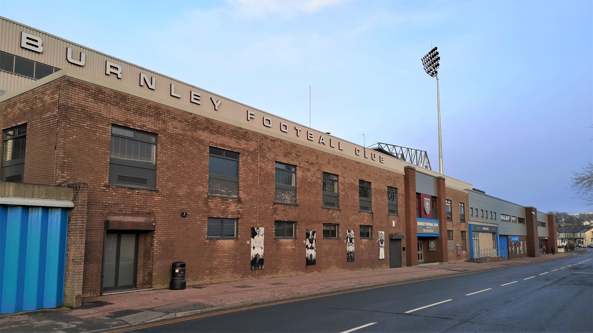
Turf Moor

Turf Moor is an association football stadium in Burnley, Lancashire, England, which has been the home of Burnley Football Club since 1883. This unbroken...

Blessed Trinity Roman Catholic College

Blessed Trinity Roman Catholic College is a coeducational Roman Catholic secondary school located in Burnley, Lancashire, England. == History == The school...

Church of St Mary of the Assumption, Burnley

The Church of St Mary of the Assumption is in Yorkshire Street, Burnley, Lancashire, England. It is an active Roman Catholic parish church in the diocese...

River Don, Lancashire

The River Don is a river in Lancashire, England. It is 6.64 miles (10.69 km) long and has a catchment area of 4.18 square miles (1,082.31 ha).Rising on...

Burnley Wood

Burnley Wood is a district and former electoral ward of Burnley, Lancashire. In broad terms the area lies between Parliament Street in the north and Hufling...

Towneley Park

Towneley Park is owned and managed by Burnley Borough Council and is the largest and most popular park in Burnley, Lancashire, England. The main entrance...

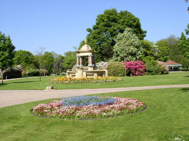
Queens Park, Burnley

Queens Park is a public park in Burnley, Lancashire. It covers 11.2 hectares and was opened in 1893, making it Burnley's oldest park. Located approximately...

Nearby Amenities

Located within 500m of 53.785925,-2.216098
Mini Roundabout
Direction: clockwise
Lat/Long: 53.7867652/-2.2106242
Brunshaw
Place: suburb
Lat/Long: 53.7871605/-2.2183178
Turning Circle
Lat/Long: 53.7882107/-2.2131473
Turning Circle
Lat/Long: 53.7885152/-2.2139497
Bus Stop
Ridge Avenue
Bus: yes
Naptan AtcoCode: 2500IMG2764
Naptan NaptanCode: langdwjm
Public Transport: platform
Lat/Long: 53.7889753/-2.221467
Bus Stop
Bronte Avenue
Bus: yes
Naptan AtcoCode: 2500LAA07419
Naptan NaptanCode: lanjpdjg
Public Transport: platform
Lat/Long: 53.7892254/-2.2168046
Bus Stop
Bronte Avenue
Bus: yes
Naptan AtcoCode: 2500LAA07420
Naptan NaptanCode: lanjpdjm
Public Transport: platform
Lat/Long: 53.789169/-2.2168635
Bus Stop
The Brunshaw
Bus: yes
Naptan AtcoCode: 2500IMG2760
Naptan NaptanCode: langdwgw
Public Transport: platform
Lat/Long: 53.7881043/-2.2138168
Bus Stop
The Brunshaw
Bus: yes
Naptan AtcoCode: 2500IMG2759
Naptan NaptanCode: langdwgt
Public Transport: platform
Lat/Long: 53.7879657/-2.2137442
Bus Stop
Cheviot Avenue
Bus: yes
Naptan AtcoCode: 2500IMG2758
Naptan NaptanCode: langdwgp
Public Transport: platform
Lat/Long: 53.7870637/-2.2112186
Bus Stop
Cheviot Avenue
Bus: yes
Naptan AtcoCode: 2500IMG2757
Naptan NaptanCode: langdwgm
Public Transport: platform
Lat/Long: 53.7871182/-2.2115719
Bus Stop
Thornton Arms
Bus: yes
Naptan AtcoCode: 2500IMG2752
Naptan NaptanCode: langdwdt
Public Transport: platform
Lat/Long: 53.7874695/-2.2093308
Bus Stop
Thornton Arms
Bus: yes
Naptan AtcoCode: 2500IMG2753
Naptan NaptanCode: langdwdw
Public Transport: platform
Lat/Long: 53.7873434/-2.2094948
Bus Stop
Chiltern Avenue
Bus: yes
Public Transport: platform
Lat/Long: 53.7862949/-2.2104088
Bus Stop
Belmont Grove
Bus: yes
Naptan AtcoCode: 2500IMG2749
Naptan NaptanCode: langdwdj
Public Transport: platform
Lat/Long: 53.7849842/-2.2127528
Bus Stop
Slaidburn Avenue
Bus: yes
Naptan AtcoCode: 2500DCL604
Naptan NaptanCode: landmtpd
Public Transport: platform
Lat/Long: 53.7851901/-2.215728
Bus Stop
Methodist Church
Bus: yes
Naptan AtcoCode: 2500LAA15738
Naptan NaptanCode: lanjtdgd
Public Transport: platform
Lat/Long: 53.7877627/-2.2153336
Bus Stop
Methodist Church
Bus: yes
Naptan AtcoCode: 2500458
Naptan NaptanCode: lanawjgp
Public Transport: platform
Lat/Long: 53.7877206/-2.2156029
Bus Stop
Roughlee Grove
Bus: yes
Naptan AtcoCode: 2500LAA07426
Naptan NaptanCode: lanjpdmd
Public Transport: platform
Lat/Long: 53.7868716/-2.2179901
Bus Stop
Roughlee Grove
Bus: yes
Naptan AtcoCode: 250010919
Naptan NaptanCode: lanadpwt
Public Transport: platform
Lat/Long: 53.7866694/-2.2187936
Bus Stop
Kingdom Hall
Bus: yes
Naptan AtcoCode: 2500LAA07425
Naptan NaptanCode: lanjpdma
Public Transport: platform
Lat/Long: 53.7871169/-2.2222114
Bus Stop
Kingdom Hall
Bus: yes
Naptan AtcoCode: 2500IMG2762
Naptan NaptanCode: langdwjd
Public Transport: platform
Shelter: yes
Lat/Long: 53.7874565/-2.223206
Bus Stop
Waddington Avenue
Bus: yes
Naptan AtcoCode: 2500IMG2761
Naptan NaptanCode: langdwja
Public Transport: platform
Lat/Long: 53.7872282/-2.2167693
Crossing
Lat/Long: 53.7855056/-2.2125273
Tesco Express
Addr City: Burnley
Addr Housenumber: 375
Addr Postcode: BB10 3JB
Addr Street: Brunshaw Road
Brand: Tesco Express
Brand Wikidata: Q98456772
Contact Website: https://www.tesco.com/store-locator/burnley/brunshaw-rd
Fhrs Id: 119197
Shop: convenience
Lat/Long: 53.7879222/-2.2141662
Pike Hill
Place: suburb
Lat/Long: 53.7868509/-2.2099745
Crossing
Lat/Long: 53.7868821/-2.2161418
The data included in this document is from www.openstreetmap.org. The data is made available under ODbL.

Have you been to Brunshaw?

Leave your review of Brunshaw below (or comments, questions and feedback).