Ringmer
Civil Parish in Sussex Lewes
England
Ringmer
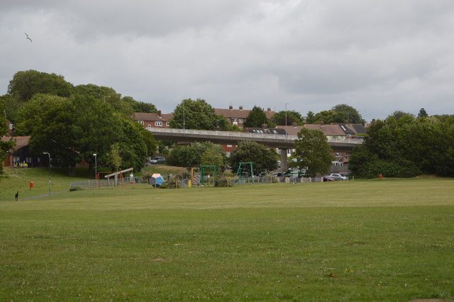
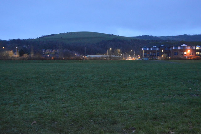
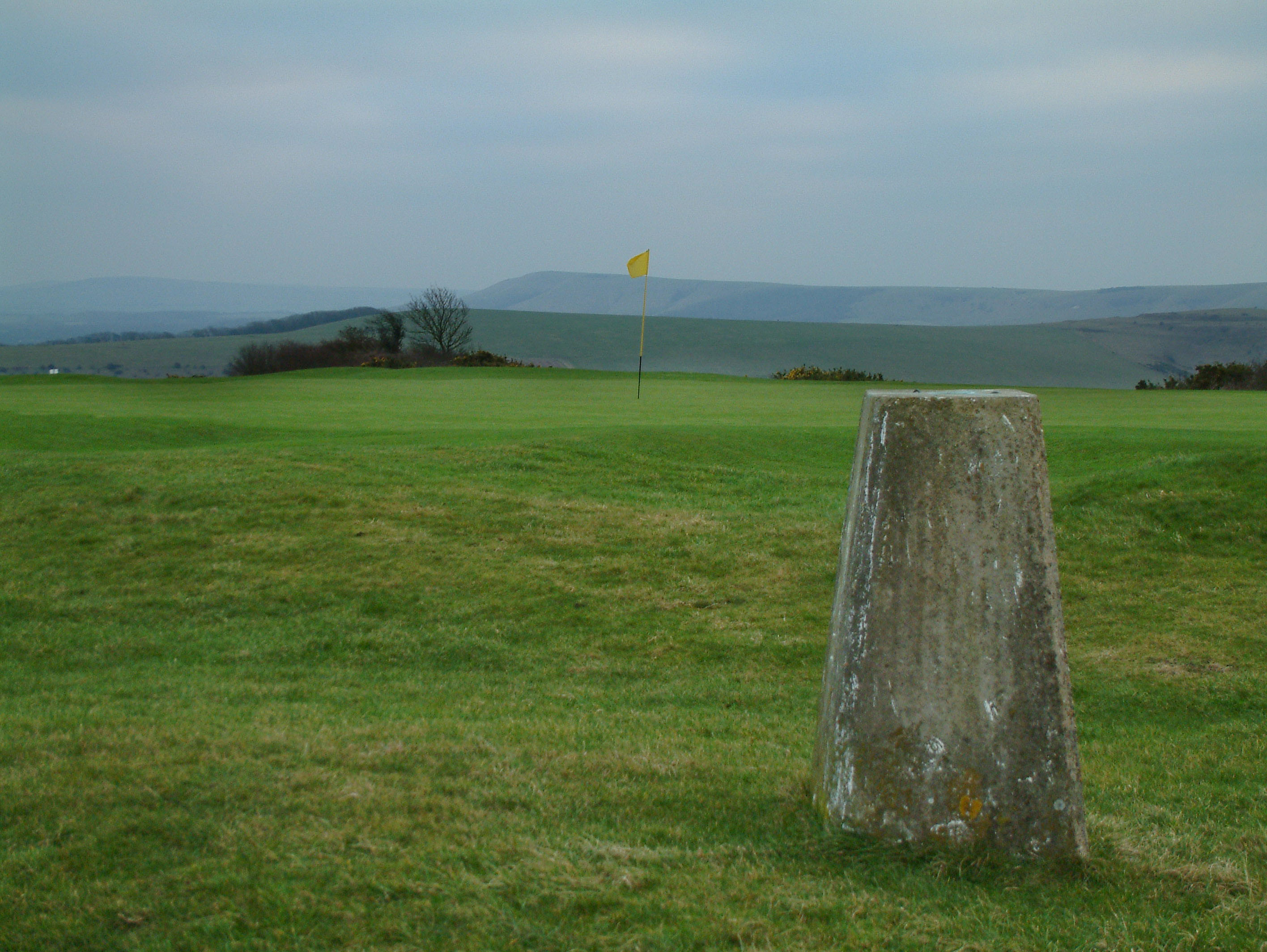
Ringmer is a civil parish located in the county of East Sussex, England. Situated approximately three miles east of Lewes, the parish covers an area of about 1,460 acres and has a population of around 4,500 people. The village itself is nestled in the South Downs National Park, offering picturesque views of the surrounding countryside.
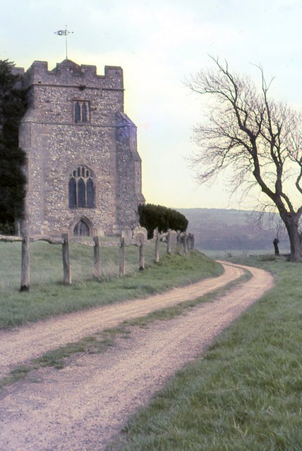
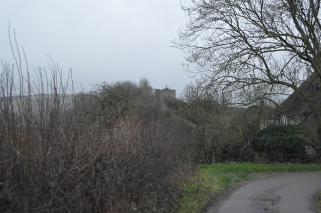
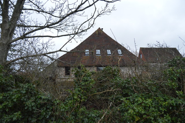
Ringmer has a rich history that dates back to the Roman period, with evidence of settlements and Roman roads found in the area. The village grew significantly during the medieval period and was an important center for agriculture and trade. Today, it retains much of its historic charm, with several listed buildings and a conservation area to protect its architectural heritage.
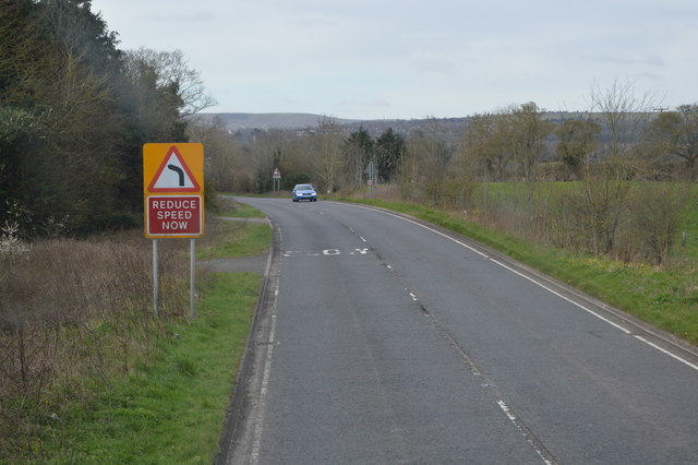
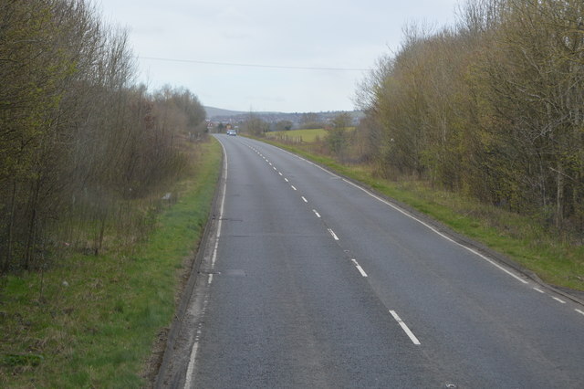
The village is well-served by amenities, including a primary school, a village hall, and a community center. It also has a range of shops, pubs, and restaurants to cater to the needs of its residents. In terms of transportation, Ringmer benefits from good road connections, with the A26 passing through the parish, providing easy access to nearby towns and cities.
Nature lovers can enjoy the beautiful countryside surrounding Ringmer, with numerous walking and cycling routes available. The village is also close to the popular South Downs Way, offering stunning views of the rolling hills and valleys. Overall, Ringmer offers a peaceful and picturesque setting, making it an attractive place to live or visit in Sussex.
If you have any feedback on the listing, please let us know in the comments section below.
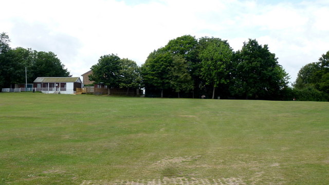
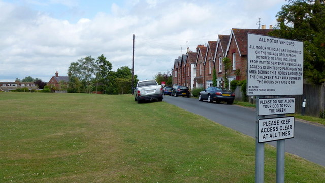
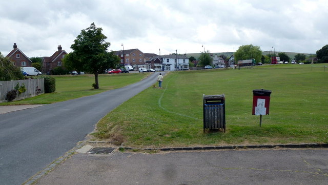
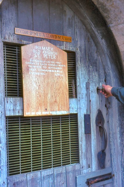
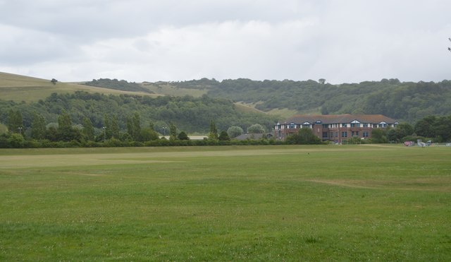
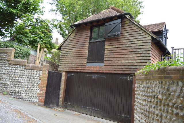
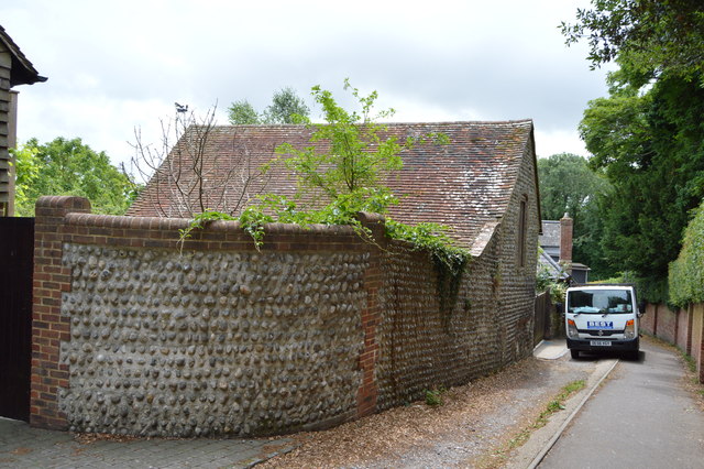
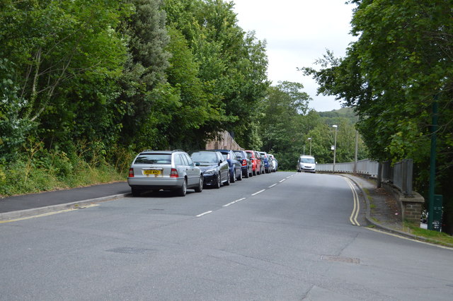
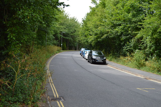
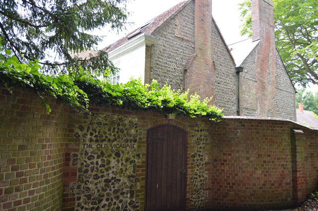
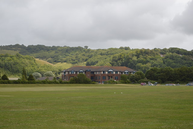
Ringmer Images
Images are sourced within 2km of 50.890285/0.034239 or Grid Reference TQ4312. Thanks to Geograph Open Source API. All images are credited.
Ringmer is located at Grid Ref: TQ4312 (Lat: 50.890285, Lng: 0.034239)
Administrative County: East Sussex
District: Lewes
Police Authority: Sussex
What 3 Words
///zaps.fixed.soccer. Near Ringmer, East Sussex
Nearby Locations
Related Wikis

Ringmer
Ringmer is a village and civil parish in the Lewes District of East Sussex, England. The village is 3 miles (4.8 km) east of Lewes. Other small settlements...

Malling Down
Malling Down is an 85-hectare (210-acre) nature reserve on the eastern outskirts of Lewes in East Sussex. It is managed by the Sussex Wildlife Trust....
Cliffe Hill
Cliffe Hill is a hill to the east of the town of Lewes in East Sussex, England. It is impressive on its western edge, where it looms over Lewes. Its summit...
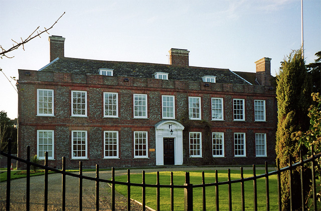
Malling House
Malling House is a 17th-century country house in Lewes, East Sussex, England. It is a Grade I listed building and serves as the headquarters of Sussex...

Lewes (UK Parliament constituency)
Lewes is a constituency in East Sussex represented in the House of Commons of the UK Parliament since 2015 by Maria Caulfield, a Conservative. == Constituency... ==
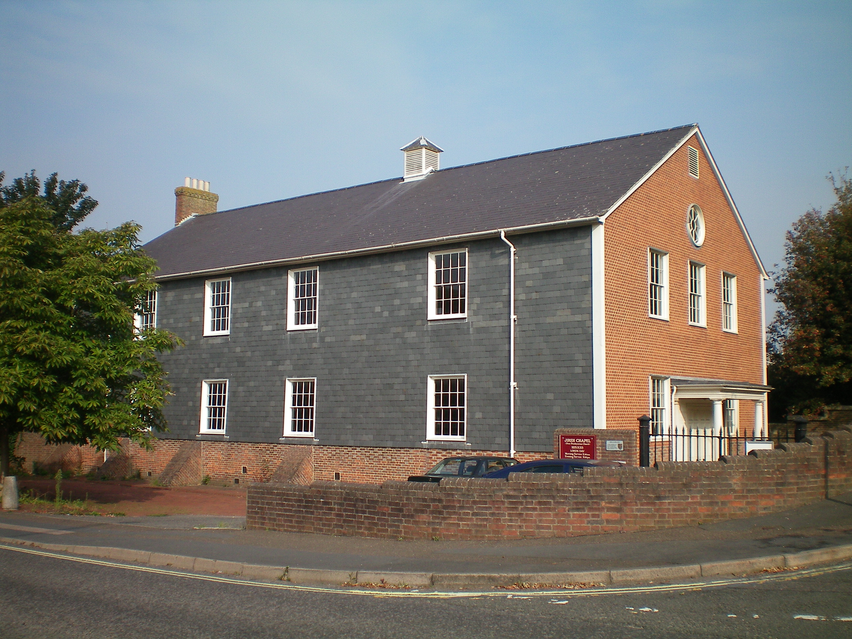
Lewes Free Presbyterian Church
Lewes Free Presbyterian Church, based in the Jireh Chapel, is one of seven Free Presbyterian Church of Ulster places of worship in England. The Jireh Chapel...
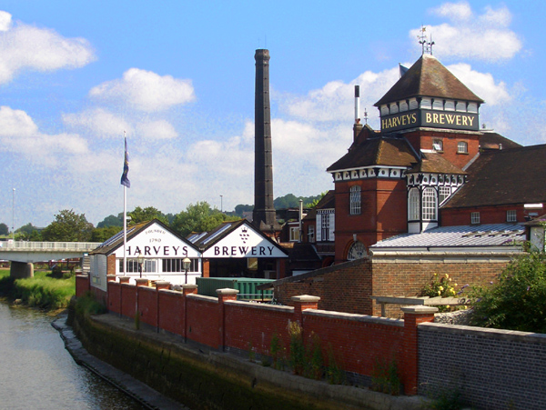
Harvey's Brewery
Harvey's Brewery is a brewery in Lewes, East Sussex, England. Harvey's estate includes 45 tied houses, mostly in Sussex, and three in London: Royal Oak...

Lewes avalanche
The Lewes avalanche occurred on 27 December 1836 in Lewes, East Sussex, when a huge build-up of snow on a chalk cliff overlooking the town collapsed into...
Related Videos

Lewes to Seaford via West Firle walk | Drone 4K | Hiking near London | Saturday 🇬🇧 Hiking UK
Glorious ramble over the South Downs to the sea, covering areas less frequently walked. Distance: 18.5 km Grading: Medium ...

Lewes to Brighton South Downs National Park | Drone 4K | Day Saturday | 🇬🇧 Hiking UK | England
South Downs Way along a chalk ridge in the morning, remote Rodmell for lunch, then back up and over the downs to the coast.

Exploring the high tower...🏰🚶🏴 | #1minutewalk
Full HD. Ambient sound. No music. Subscribe to the channel for more virtual walks: ...

🏰 Exploring the castle...
Short relaxing virtual walk around a historic castle in England. Full HD. Ambient sound. No music. Watch the full length tour: ...
Nearby Amenities
Located within 500m of 50.890285,0.034239Have you been to Ringmer?
Leave your review of Ringmer below (or comments, questions and feedback).