Ribbesford

Civil Parish in Worcestershire Wyre Forest

England

Ribbesford

Poppies in field by B4195 road, Blackstone These poppies were flowering in June 2011 in this and other nearby fields. The field is next to the B4195 road, from which the photograph was taken. There is no public access to this field, nor over the track seen in this view.
Poppies in field by B4195 road, Blackstone Credit: P L Chadwick

Ribbesford is a civil parish located in the district of Wyre Forest in Worcestershire, England. It is a small rural area that covers an area of approximately 7.5 square kilometers. The parish is situated on the eastern bank of the River Severn and is bordered by the parishes of Bewdley, Kidderminster, and Wolverley.

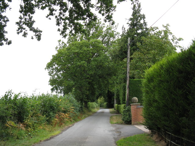
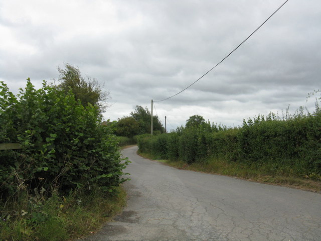
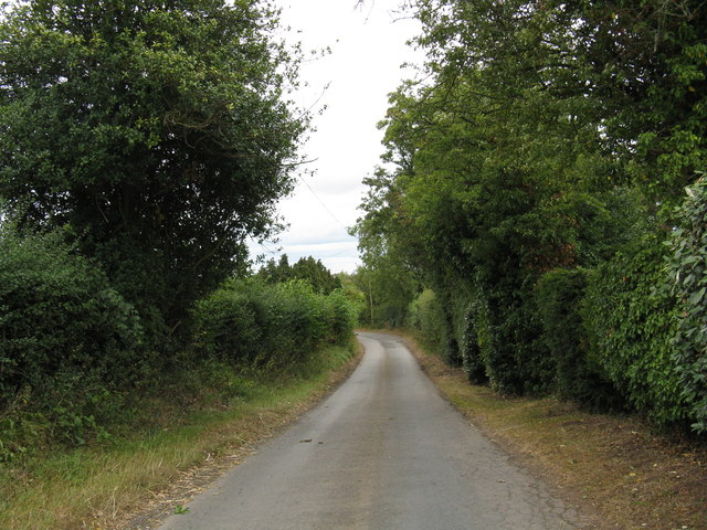
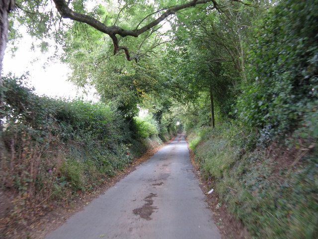
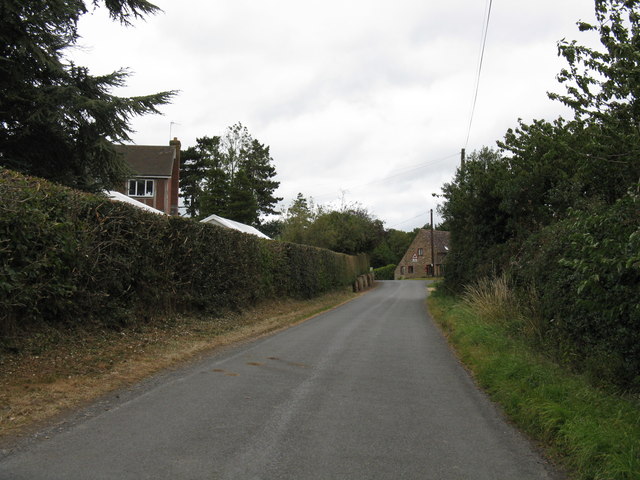
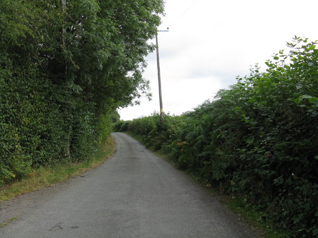
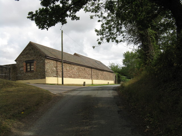
The village of Ribbesford itself is characterized by its picturesque setting, with rolling green hills and stunning views of the river. It is primarily a residential area, with a small population of around 200 people. The village consists of a mix of historic buildings and modern houses, with some dating back to the 17th century.

The centerpiece of Ribbesford is the St Leonard's Church, a Grade II listed building that dates back to the 12th century. The church is known for its beautiful stained glass windows and unique architecture, attracting visitors from near and far.

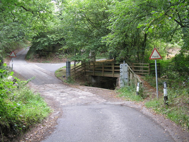
Despite its small size, Ribbesford offers a range of amenities and services to its residents. These include a village hall, a primary school, and a local pub. The surrounding countryside provides ample opportunities for outdoor activities such as walking, cycling, and fishing, making it a popular destination for nature lovers.

Overall, Ribbesford is a peaceful and charming parish that offers a tranquil countryside lifestyle with easy access to nearby towns and cities.

If you have any feedback on the listing, please let us know in the comments section below.
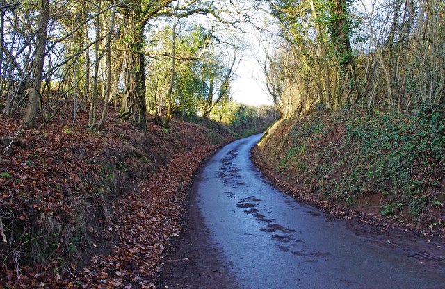
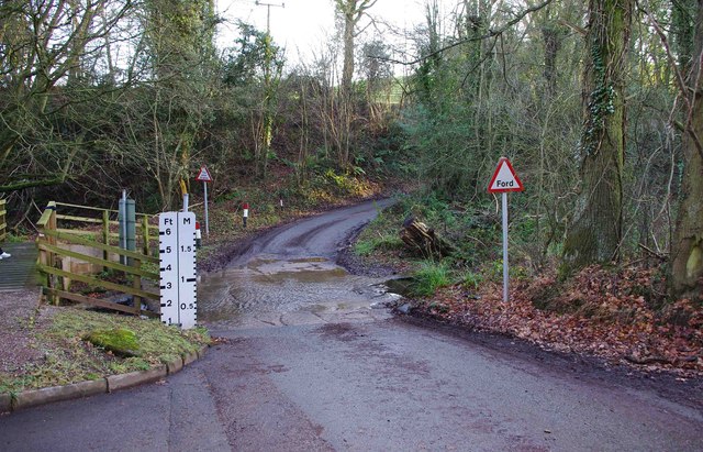
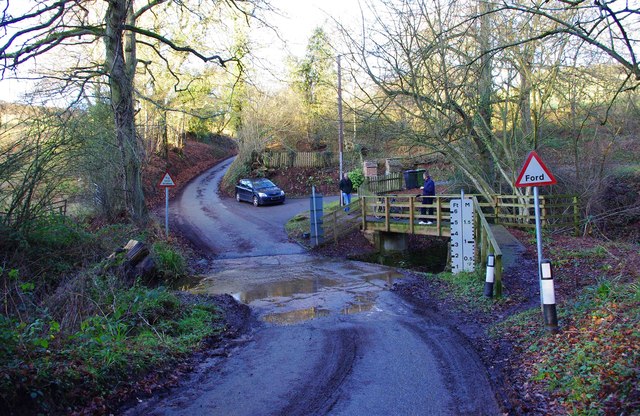
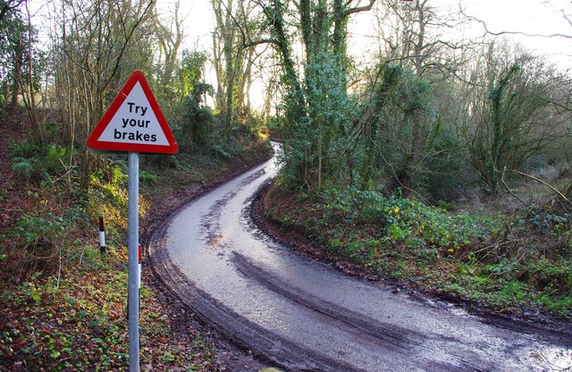
Ribbesford Images

Images are sourced within 2km of 52.353862/-2.326212 or Grid Reference SO7772. Thanks to Geograph Open Source API. All images are credited.

Poppies in field by B4195 road, Blackstone These poppies were flowering in June 2011 in this and other nearby fields. The field is next to the B4195 road, from which the photograph was taken. There is no public access to this field, nor over the track seen in this view.
Poppies in field by B4195 road, Blackstone
These poppies were flowering in June 2011 in this and other nearby fields. The field is next to the B4195 road, from which the photograph was taken. There is no public access to this field, nor over the track seen in this view.
Poppies in field by public bridleway, Blackstone The roof in the distance is that of a farm building belonging to Upper Blackstone Farm.
Poppies in field by public bridleway, Blackstone
The roof in the distance is that of a farm building belonging to Upper Blackstone Farm.
Poppies in field by public bridleway, Blackstone Poppies were to be seen in several fields around Blackstone in June 2011, although the most spectacular display was in the field opposite Blackstone Picnic Site. See:- <a href="https://www.geograph.org.uk/photo/2465767">SO7974 : Poppy display by A456 in June 2011, Blackstone</a>.
Poppies in field by public bridleway, Blackstone
Poppies were to be seen in several fields around Blackstone in June 2011, although the most spectacular display was in the field opposite Blackstone Picnic Site. See:- SO7974 : Poppy display by A456 in June 2011, Blackstone.
Jennings Wood Lane
Jennings Wood Lane
Heightington Road, looking south from Jennings Wood Lane
Heightington Road, looking north from Jennings Wood Lane
Gladder Brook ford, Heightington Road
Heightington Road The lane climbs steeply on both sides of Gladder Brook's deeply incised valley.
Heightington Road
The lane climbs steeply on both sides of Gladder Brook's deeply incised valley.
Heightington Road near The Lodge
Lane to Deasland Farm
Barn conversion near Deasland Farm
Pig playing the bagpipes One of a number of carvings from a 15th-century rood screen, now affixed to the pulpit in St Leonard's Church.  For more on this church see <span class="nowrap"><a title="http://greatenglishchurches.co.uk/html/ribbesford.html" rel="nofollow ugc noopener" href="http://greatenglishchurches.co.uk/html/ribbesford.html">Link</a><img style="margin-left:2px;" alt="External link" title="External link - shift click to open in new window" src="https://s1.geograph.org.uk/img/external.png" width="10" height="10"/></span>
Pig playing the bagpipes
One of a number of carvings from a 15th-century rood screen, now affixed to the pulpit in St Leonard's Church. For more on this church see LinkExternal link
Memorial to John Tiler The Bailiff of Bewdley is commemorated by one of the oldest memorials in St Leonard's Church, of simple painted stone:

1626
===
Here vnder lyeth
bvried, the bodie of
Iohn Tyler  Gent:
late Bayliffe of
Bewdlie, who dyed
the XXVIII daye of
Ianvarie, in the
yeare of ovr
Lord God,
-- 1626. --

For more on this church see <span class="nowrap"><a title="http://greatenglishchurches.co.uk/html/ribbesford.html" rel="nofollow ugc noopener" href="http://greatenglishchurches.co.uk/html/ribbesford.html">Link</a><img style="margin-left:2px;" alt="External link" title="External link - shift click to open in new window" src="https://s1.geograph.org.uk/img/external.png" width="10" height="10"/></span>
Memorial to John Tiler
The Bailiff of Bewdley is commemorated by one of the oldest memorials in St Leonard's Church, of simple painted stone: 1626 === Here vnder lyeth bvried, the bodie of Iohn Tyler Gent: late Bayliffe of Bewdlie, who dyed the XXVIII daye of Ianvarie, in the yeare of ovr Lord God, -- 1626. -- For more on this church see LinkExternal link
Heightington Road north of Gladder Brook ford, near Ribbesford A narrow lane which involves crossing a normally shallow ford.
Heightington Road north of Gladder Brook ford, near Ribbesford
A narrow lane which involves crossing a normally shallow ford.
The Gladder Brook ford on Heightington Road, near Ribbesford It is interesting to see that the brook can rise to a level where this road would become impassable. However in dry summers it can be completely dry here. On the left is a footbridge for pedestrians.
The Gladder Brook ford on Heightington Road, near Ribbesford
It is interesting to see that the brook can rise to a level where this road would become impassable. However in dry summers it can be completely dry here. On the left is a footbridge for pedestrians.
The Gladder Brook ford on Heightington Road, near Ribbesford The water was very shallow on this day in early January. On the right is a bridge for pedestrians.
The Gladder Brook ford on Heightington Road, near Ribbesford
The water was very shallow on this day in early January. On the right is a bridge for pedestrians.
Heightington Road south of Gladder Brook ford, near Ribbesford The road here has just left the ford across Gladder Brook.
Heightington Road south of Gladder Brook ford, near Ribbesford
The road here has just left the ford across Gladder Brook.
Gladder Brook and ford, Heightington Road, near Ribbesford The name Gladder apparently comes from Anglo-Saxon and means clear.
Gladder Brook and ford, Heightington Road, near Ribbesford
The name Gladder apparently comes from Anglo-Saxon and means clear.
Show me another place!

Ribbesford is located at Grid Ref: SO7772 (Lat: 52.353862, Lng: -2.326212)

Administrative County: Worcestershire

District: Wyre Forest

Police Authority: West Mercia

What 3 Words

///cabs.quality.calls. Near Bewdley, Worcestershire

Nearby Locations

Ribbesford

Related Wikis

Ribbesford

Ribbesford is a village and civil parish in the Wyre Forest District of Worcestershire, England. At the 2001 census it had a population of 237.Notable...

Bewdley Town F.C.

Bewdley Town Football Club is a football club based in Bewdley, Worcestershire, England. They are currently members of the Midland League Premier Division...
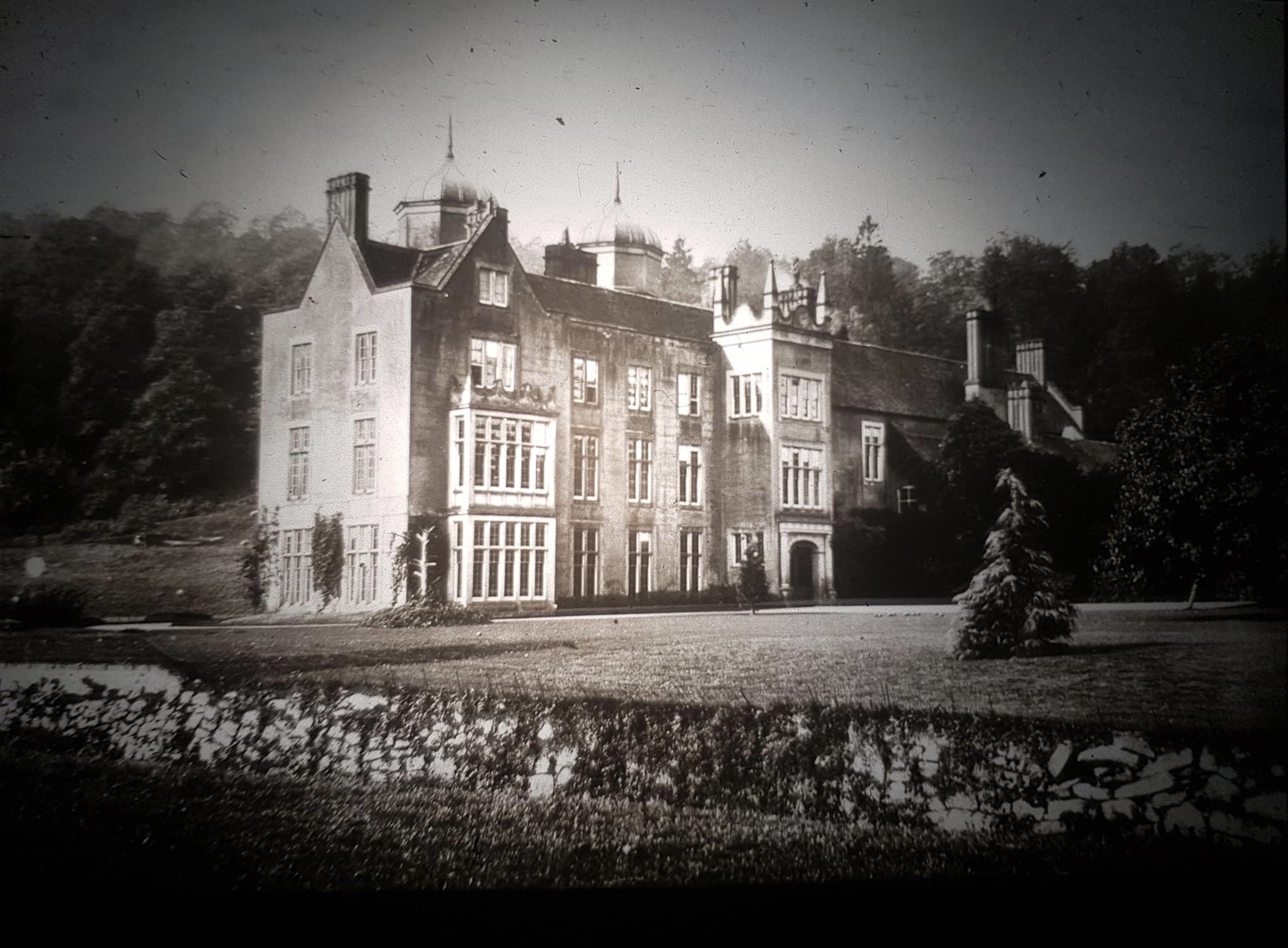
Ribbesford House

Ribbesford House is a historic English mansion in Ribbesford, near Bewdley, Worcestershire. The house and its surrounding estate have a history dating...

A456 road

Known as the Hagley Road in Birmingham, the A456 is a main road in England running between Central Birmingham and Woofferton, Shropshire, south of Ludlow...

Heightington

Heightington is a small village in Worcestershire, England. It lies a little to the south-west of Bewdley and a little to the west of Stourport-on-Severn...

Tickenhill Palace

Tickenhill Palace (also known as Tickenhill House or Tickenhall Manor) is a historic building in Bewdley, Worcestershire, England. It is a grade II* listed...

The Bewdley School

The Bewdley School is a senior school and sixth form in Bewdley, serving north-west Worcestershire, England. Its campus is very close to the River Severn...

Bewdley Guildhall

Bewdley Guildhall is a municipal building in Load Street in Bewdley, Worcestershire, England. The structure, which is the meeting place of Bewdley Town...

Nearby Amenities

Located within 500m of 52.353862,-2.326212
Barrier: stile
Foot: yes
Lat/Long: 52.3526224/-2.3294525
Barrier: lift_gate
Bicycle: yes
Foot: yes
Lat/Long: 52.3540129/-2.3262099
The data included in this document is from www.openstreetmap.org. The data is made available under ODbL.

Have you been to Ribbesford?

Leave your review of Ribbesford below (or comments, questions and feedback).