Brundish
Settlement in Norfolk South Norfolk
England
Brundish
Brundish is a small village located in the county of Norfolk, England. Situated approximately 18 miles north of the city of Ipswich and 6 miles south of the market town of Diss, it falls within the Mid Suffolk district. The village has a population of around 200 residents.
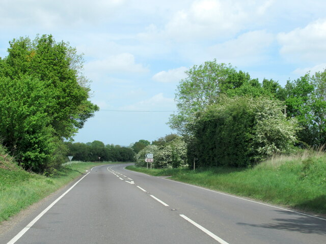
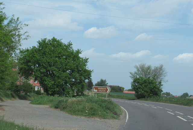
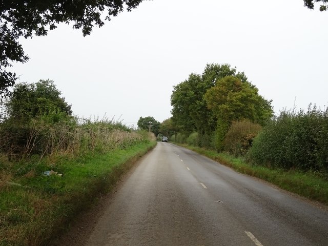
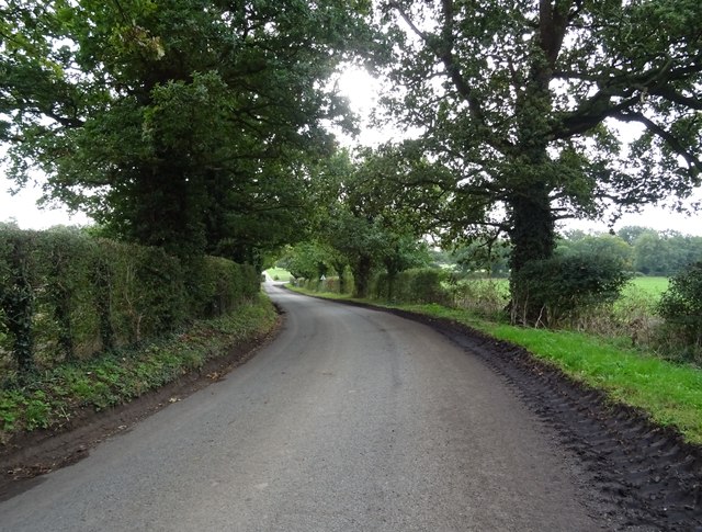
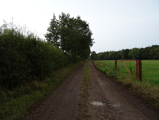
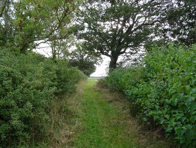
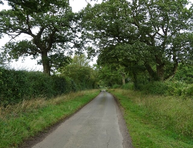
Brundish is known for its picturesque countryside and rural charm. The village is surrounded by rolling hills, green fields, and woodland, providing stunning views and opportunities for outdoor activities such as walking and cycling. The nearby River Waveney adds to the natural beauty of the area.
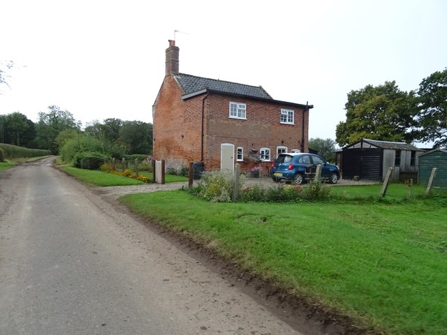
The village itself is made up of a mixture of traditional and modern houses, with some dating back to the 17th century. It has a close-knit community feel, with a village hall that hosts various events and activities throughout the year, bringing residents together.
Although Brundish is a small village, it has some amenities to cater to the needs of its residents. These include a primary school, a village shop, and a pub, which serves as a social hub for locals and visitors alike.
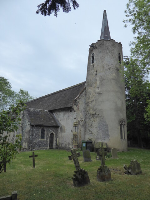
The surrounding area offers a range of attractions and amenities, including historic sites, nature reserves, and country parks. The village's location also provides easy access to major towns and cities such as Norwich, Ipswich, and Cambridge.
Overall, Brundish is a peaceful and picturesque village that offers a tranquil lifestyle surrounded by stunning countryside, making it an attractive place to live for those seeking a rural retreat.
If you have any feedback on the listing, please let us know in the comments section below.
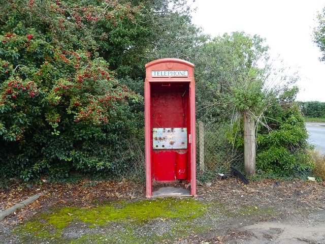
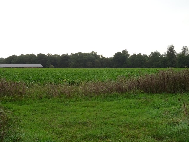
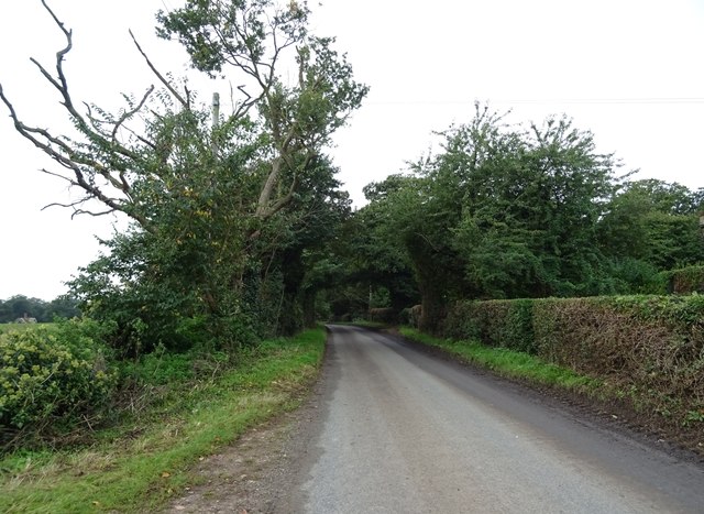
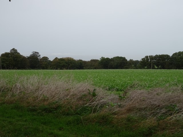
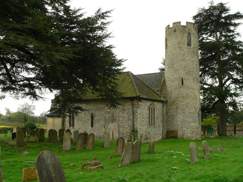
Brundish Images
Images are sourced within 2km of 52.50512/1.529114 or Grid Reference TM3995. Thanks to Geograph Open Source API. All images are credited.


Brundish is located at Grid Ref: TM3995 (Lat: 52.50512, Lng: 1.529114)
Administrative County: Norfolk
District: South Norfolk
Police Authority: Norfolk
What 3 Words
///worked.mistaking.competing. Near Thurlton, Norfolk
Nearby Locations
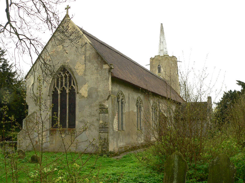
Related Wikis

St Andrew's Church, Raveningham
St Andrew's Church is the parish church of Raveningham in Norfolk, England, and in the Diocese of Norwich. It is a round-tower church, dating mostly from...

Raveningham Hall
Raveningham Hall is a country house in Norfolk, England, about 10 miles (16 km) south-east of Norwich. There are 10 acres of gardens, and it has a rural...

St Margaret's Church, Hales
St Margaret's Church is a redundant Anglican church in the village of Hales, Norfolk, England. It is recorded in the National Heritage List for England...
Raveningham
Raveningham (pronounced "Ran-ing'm") is a small village and parish in the county of Norfolk, England, about 13 miles (21 km) south-east of Norwich. It...
Stockton, Norfolk
Stockton is a small village in Norfolk, England near the A146, just over 2 miles from Beccles. It covers an area of 3.65 km2 (1.41 sq mi) and had a population...
Hales
Hales is a small village in Norfolk, England. It covers an area of 3.99 km2 (1.54 sq mi) and had a population of 479 in 192 households as of the 2001 census...

Hales Hall
Hales Hall is a notable English country house in Loddon, Norfolk, largely dating from the 15th century. It was once the seat of the Hobart family, including...
Kirby Cane
Kirby Cane is a scattered village and civil parish centred 3.8 miles (6.1 km) west northwest of Beccles and 2.7 miles (4.3 km) northeast of Bungay. It...
Nearby Amenities
Located within 500m of 52.50512,1.529114Have you been to Brundish?
Leave your review of Brundish below (or comments, questions and feedback).