Bruern Abbey

Settlement in Oxfordshire West Oxfordshire

England

Bruern Abbey

D'Arcy Dalton Way D'Arcy Dalton Way heading to Lyneham
D'Arcy Dalton Way Credit: Shaun Ferguson

Bruern Abbey is a historical country estate located in the picturesque Oxfordshire countryside, England. Set on over 55 acres of stunning landscaped gardens and rolling green fields, it is nestled in the heart of the Cotswolds, just a short drive from the vibrant city of Oxford. Dating back to the 12th century, Bruern Abbey has a rich and intriguing history.

The main building, a beautiful stone abbey, was originally constructed as a Cistercian monastery and later converted into a country house. Today, it serves as a luxurious holiday retreat offering exclusive self-catering accommodation. The estate features a collection of elegant cottages, meticulously renovated to provide modern comforts while preserving their original charm.

The cottages are tastefully decorated with luxurious furnishings and boast spacious living areas, fully equipped kitchens, and private gardens or terraces. Guests can enjoy access to various on-site facilities, including a heated indoor swimming pool, tennis courts, a gym, and a spa. The estate also offers a range of services such as housekeeping, catering, and concierge assistance to ensure a truly indulgent stay.

Surrounded by idyllic countryside, Bruern Abbey provides a peaceful haven for guests seeking relaxation and tranquility. The estate is conveniently located near several charming villages, offering opportunities for exploring the local culture, quaint shops, and traditional pubs. Additionally, the nearby Oxford city offers a wealth of cultural and historical attractions, including the prestigious University of Oxford and its renowned museums, libraries, and botanical gardens.

Bruern Abbey is a perfect destination for those seeking a luxurious and tranquil escape, combining the beauty of the countryside with modern amenities and historical charm.

If you have any feedback on the listing, please let us know in the comments section below.
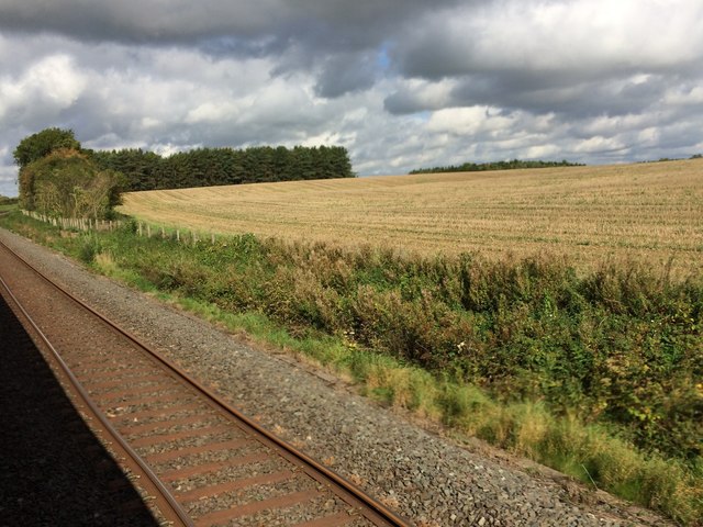
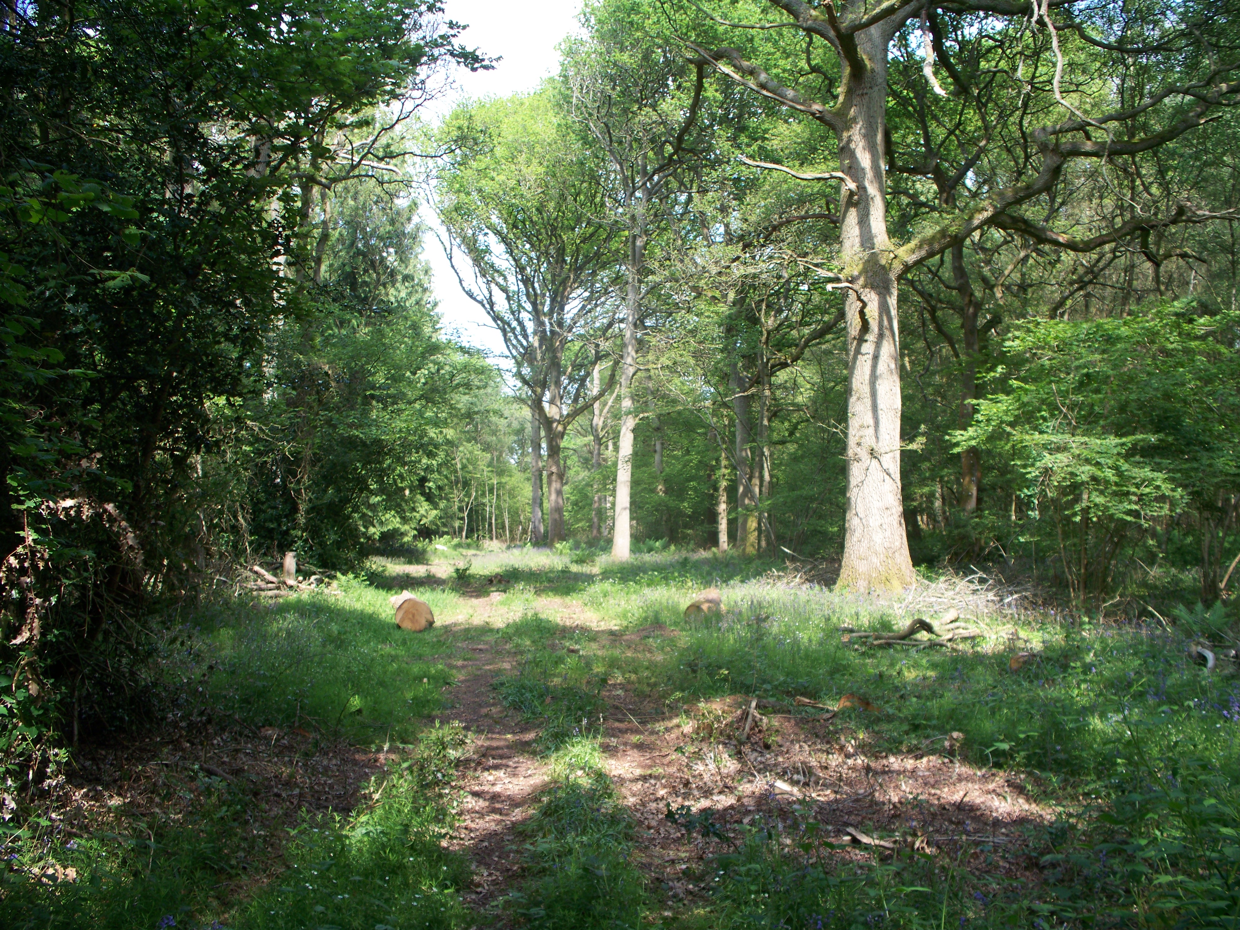
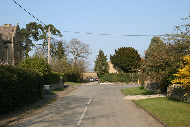
Bruern Abbey Images

Images are sourced within 2km of 51.881556/-1.6162592 or Grid Reference SP2620. Thanks to Geograph Open Source API. All images are credited.

D'Arcy Dalton Way D'Arcy Dalton Way heading to Lyneham
D'Arcy Dalton Way
D'Arcy Dalton Way heading to Lyneham
D'Arcy Dalton Way D'Arcy Dalton Way by Long Barn heading to Bruern Crossing
D'Arcy Dalton Way
D'Arcy Dalton Way by Long Barn heading to Bruern Crossing
D'Arcy Dalton Way D'Arcy Dalton Way heading across Bruern Crossing
D'Arcy Dalton Way
D'Arcy Dalton Way heading across Bruern Crossing
Road to Kingham Road to Kingham passing right turn to Sarsden
Road to Kingham
Road to Kingham passing right turn to Sarsden
View from a Didcot-Worcester train - Fields and woods near Bruern Abbey
View from a Didcot-Worcester train - Fields and trees near Sars Brook The yellow milepost marks 83.75 miles from London Paddington.
View from a Didcot-Worcester train - Fields and trees near Sars Brook
The yellow milepost marks 83.75 miles from London Paddington.
View from a Didcot-Worcester train - Fields, scrub and trees near Kingham The yellow milepost marks 84.25 miles from London Paddington
View from a Didcot-Worcester train - Fields, scrub and trees near Kingham
The yellow milepost marks 84.25 miles from London Paddington
Path to Bruern Abbey From No Man's Land the path to Bruern Abbey
Path to Bruern Abbey
From No Man's Land the path to Bruern Abbey
Line to Kingham From the path to Standbow Bridge the line heading to Kingham
Line to Kingham
From the path to Standbow Bridge the line heading to Kingham
Bridleway heading in to the wood of Bluewood Lodges Bridleway from Standbow Bridge heading in to the wood of Bluewood Lodges
Bridleway heading in to the wood of Bluewood Lodges
Bridleway from Standbow Bridge heading in to the wood of Bluewood Lodges
Cotswold Railway Oxford to Worcester line near Standbrow Bridge.
Cotswold Railway
Oxford to Worcester line near Standbrow Bridge.
Field edge by Starveall Wood I should have been in the wood to the right.
Field edge by Starveall Wood
I should have been in the wood to the right.
Path in Bould Wood This is part of Foxholes Nature Reserve but it was eerily silent. There may be trees and a bit of undergrowth here, but not a lot else.
Path in Bould Wood
This is part of Foxholes Nature Reserve but it was eerily silent. There may be trees and a bit of undergrowth here, but not a lot else.
Bridleway leaving Bould Wood
Field edge by Bould Wood Slightly higher ground which gives a view northwards past Bledington.
Field edge by Bould Wood
Slightly higher ground which gives a view northwards past Bledington.
Harvested field near Bledington Looking from the Oxfordshire Way towards the River Evenlode.
Harvested field near Bledington
Looking from the Oxfordshire Way towards the River Evenlode.
Private woodland near Foscot The signs don't say but I think this is part of the Bruern Abbey Estate.
Private woodland near Foscot
The signs don't say but I think this is part of the Bruern Abbey Estate.
Harvesting is almost over The combine and supporting tractor have just about finished this field.
Harvesting is almost over
The combine and supporting tractor have just about finished this field.
Show me another place!

Bruern Abbey is located at Grid Ref: SP2620 (Lat: 51.881556, Lng: -1.6162592)

Administrative County: Oxfordshire

District: West Oxfordshire

Police Authority: Thames Valley

What 3 Words

///boards.flamed.yards. Near Shipton under Wychwood, Oxfordshire

Related Wikis

Bould Wood

Bould Wood is a 58.2-hectare (144-acre) biological Site of Special Scientific Interest north of Shipton-under-Wychwood in Oxfordshire. An area of 23...

Lyneham, Oxfordshire

Lyneham is a village and civil parish about 5 miles (8 km) southwest of Chipping Norton, Oxfordshire. It is bounded to the southwest by the River Evenlode...

Bruern

Bruern or Bruern Abbey is a hamlet and civil parish on the River Evenlode about 6 miles (10 km) north of Burford in West Oxfordshire. The 2001 Census recorded...

Bould

Bould is a hamlet in Idbury civil parish, Oxfordshire, about 4.5 miles (7.2 km) southeast of Stow-on-the-Wold in neighbouring Gloucestershire. == External... ==

Foscot, Oxfordshire

Foscot is a hamlet in the Cotswolds in the Evenlode valley. It falls within Idbury civil parish, in the West Oxfordshire District, about 5 miles (8.0 km...

Shipton railway station

Shipton railway station serves the villages of Shipton-under-Wychwood and Milton-under-Wychwood in Oxfordshire, England. The station and all trains serving...

Kingham railway station

Kingham railway station in Oxfordshire, England, is between the Oxfordshire village of Kingham and the Gloucestershire village of Bledington, to which...

Kingham

Kingham is a village and civil parish in the Cotswolds about 4 miles (6.4 km) southwest of Chipping Norton, Oxfordshire. The 2011 Census recorded the parish...

Nearby Amenities

Located within 500m of 51.881556,-1.6162592
Bus Stop
Bruern Abbey
Bus: yes
Naptan AtcoCode: 340001123ABB
Naptan Bearing: W
Naptan BusStopType: CUS
Naptan CommonName: Bruern Abbey
Naptan Indicator: Outside
Naptan Landmark: Abbey
Naptan NaptanCode: oxfadgtm
Naptan Street: Bruern Road
Naptan Verified: no
Public Transport: platform
Source: naptan_import
Lat/Long: 51.8815776/-1.6163993
Bus Stop
Bruern Abbey
Bus: yes
Naptan AtcoCode: 340001123OPP
Naptan Bearing: E
Naptan BusStopType: CUS
Naptan CommonName: Bruern Abbey
Naptan Indicator: Opposite
Naptan Landmark: Abbey
Naptan NaptanCode: oxfgajdt
Naptan Street: Bruern Road
Naptan Verified: no
Public Transport: platform
Source: naptan_import
Lat/Long: 51.8815923/-1.6161785
Bruern
Crossing Activation: remote
Crossing Barrier: full
Crossing Light: yes
Crossing Supervision: camera
Railway: level_crossing
Source: Bing
Lat/Long: 51.8829654/-1.6122513
Bruern
Place: hamlet
Wikidata: Q992272
Wikipedia: en:Bruern
Lat/Long: 51.8814491/-1.6155284
Post Box
Collection Times: Mo-Fr 15:45; Sa 08:15
Post Box Type: wall
Ref: OX7 245
Royal Cypher: VR
Royal Cypher Wikidata: Q33102356
Source: survey
Lat/Long: 51.881504/-1.6162333
Bruern
Crossing Activation: remote
Crossing Barrier: full
Crossing Light: yes
Crossing Supervision: camera
Railway: level_crossing
Source: Bing
Lat/Long: 51.8829955/-1.6122184
Power: pole
Source: Bing
Lat/Long: 51.8839051/-1.6114003
Waterway: dam
Lat/Long: 51.8824961/-1.6165943
Information: guidepost
Tourism: information
Lat/Long: 51.8811683/-1.6190751
Information: guidepost
Tourism: information
Lat/Long: 51.8812849/-1.6191355
Camera Mount: pole
Camera Type: fixed
Man Made: surveillance
Operator: Network Rail
Surveillance Type: camera
Surveillance Zone: traffic
Lat/Long: 51.882821/-1.6121384
Golf: pin
Lat/Long: 51.883048/-1.6112925
Golf: pin
Lat/Long: 51.8821712/-1.6100868
The data included in this document is from www.openstreetmap.org. The data is made available under ODbL.

Have you been to Bruern Abbey?

Leave your review of Bruern Abbey below (or comments, questions and feedback).