Brucklebog
Settlement in Kincardineshire
Scotland
Brucklebog
The requested URL returned error: 429 Too Many Requests
If you have any feedback on the listing, please let us know in the comments section below.
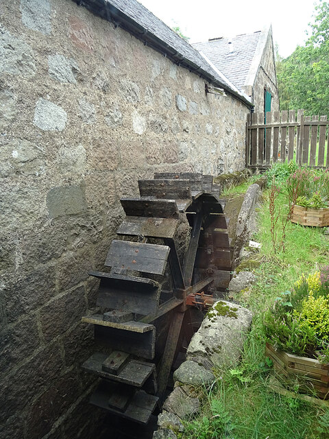
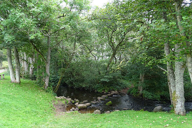
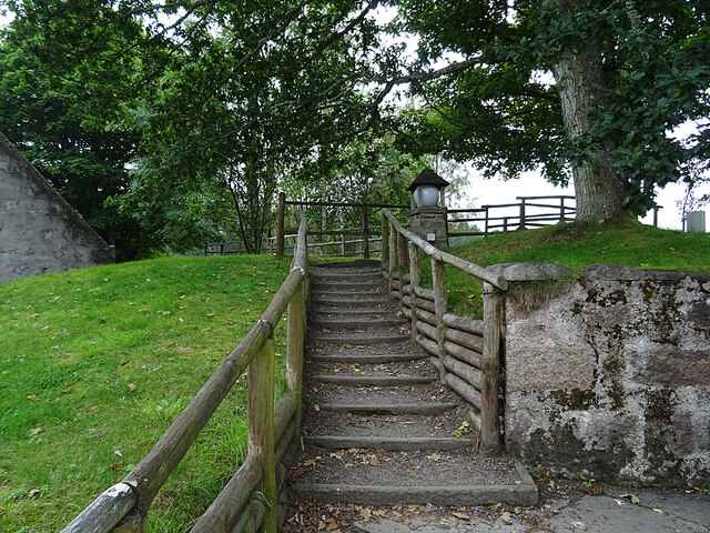
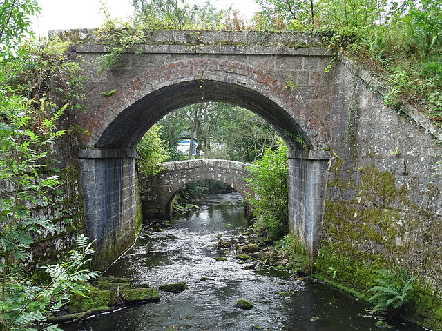
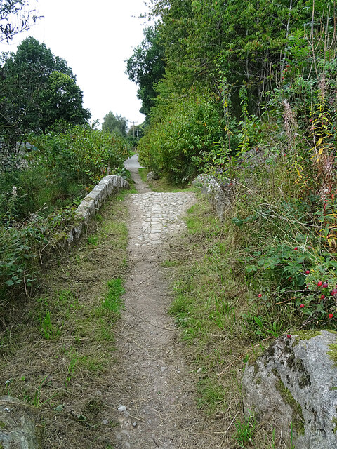
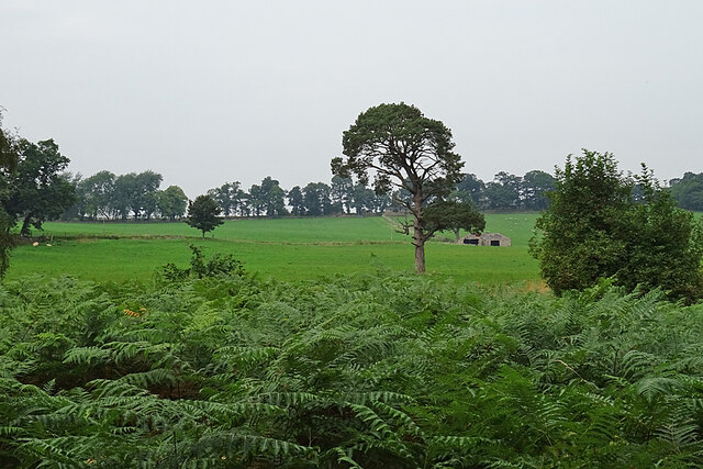
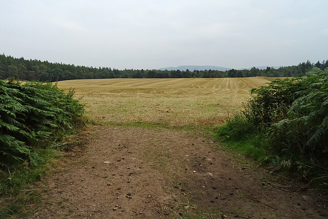
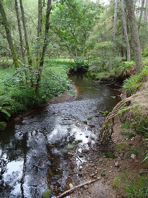
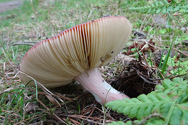
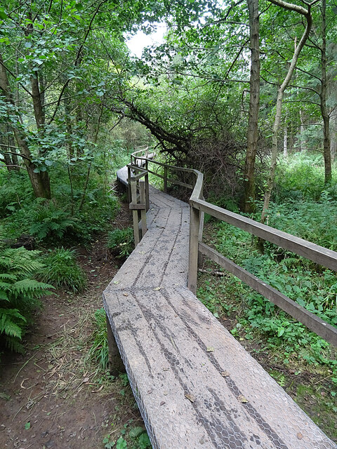
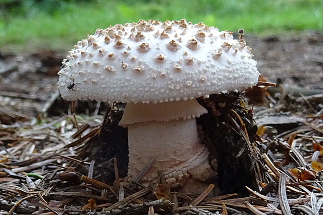
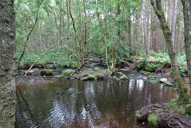
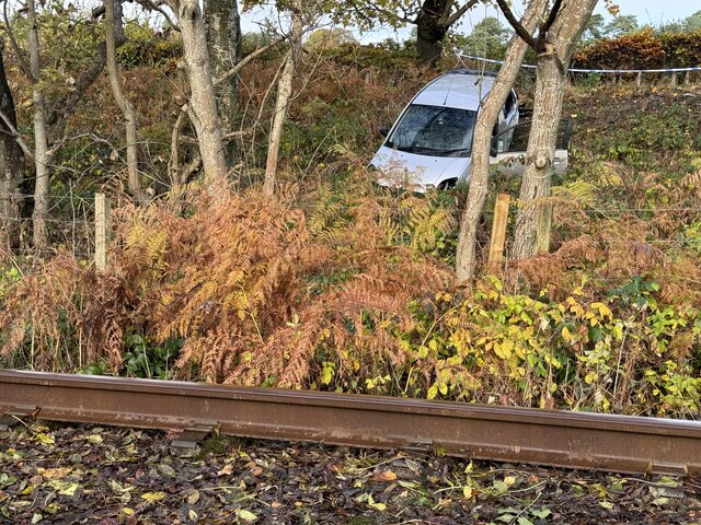
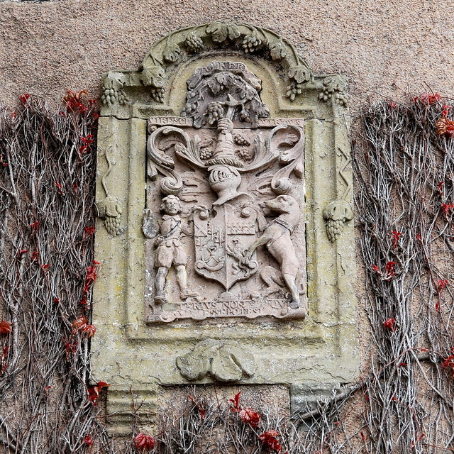
Brucklebog Images
Images are sourced within 2km of 57.072287/-2.4304509 or Grid Reference NO7498. Thanks to Geograph Open Source API. All images are credited.
Brucklebog is located at Grid Ref: NO7498 (Lat: 57.072287, Lng: -2.4304509)
Unitary Authority: Aberdeenshire
Police Authority: North East
What 3 Words
///broth.terms.send. Near Banchory, Aberdeenshire
Nearby Locations
Related Wikis
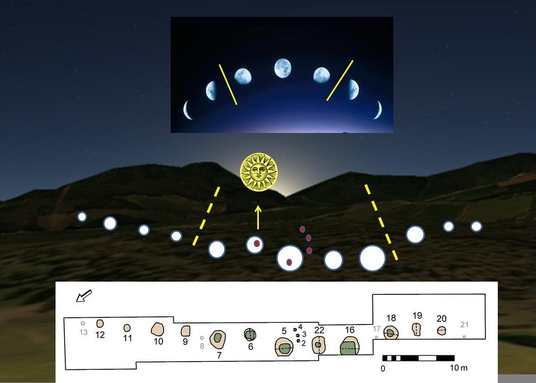
Warren Field
Warren Field is the location of a mesolithic calendar monument built about 8,000 BCE. It includes 12 pits believed to correlate with phases of the Moon...

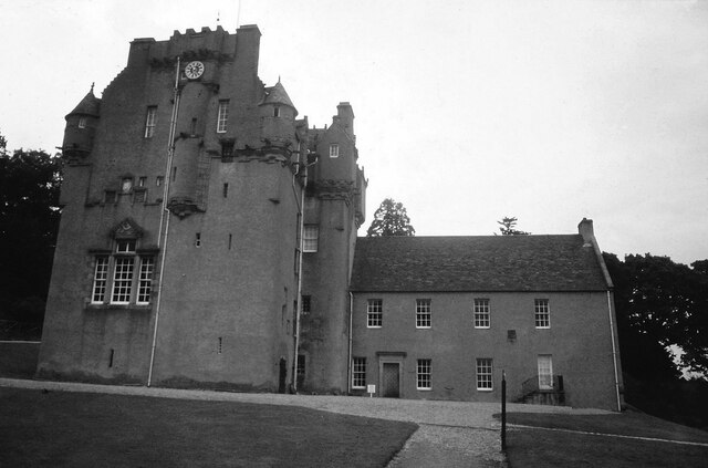
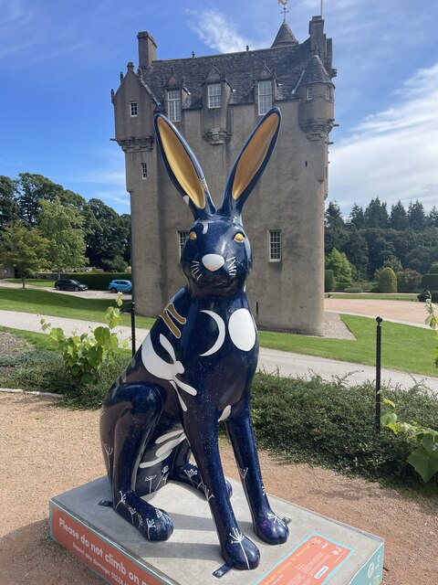
Crathes Castle
Crathes Castle (pronounced KRATH-iss) is a castle, built in the 16th century, near Banchory in Aberdeenshire, Scotland. It is in the historic county of...

Royal Deeside Railway
The Royal Deeside Railway is a Scottish heritage railway located at Milton of Crathes railway station on a part of the original Deeside Railway. ��2�...

Milton of Crathes railway station
Milton of Crathes railway station is located at Milton of Crathes, three miles east of Banchory, Royal Deeside, Aberdeenshire, Scotland, United Kingdom...
Nearby Amenities
Located within 500m of 57.072287,-2.4304509Have you been to Brucklebog?
Leave your review of Brucklebog below (or comments, questions and feedback).