Broxtowe
Settlement in Nottinghamshire
England
Broxtowe

Broxtowe is a district located in the county of Nottinghamshire, in the East Midlands region of England. Situated approximately 6 miles west of Nottingham city center, Broxtowe covers an area of about 30 square miles and is home to a population of around 110,000 people.
The district is made up of several towns and villages, including Beeston, Stapleford, Kimberley, and Eastwood. Each of these areas has its own distinct character and amenities, contributing to the diverse nature of Broxtowe.
Broxtowe boasts a rich history, with evidence of human habitation dating back to the Bronze Age. Throughout the centuries, the district has played a significant role in the industrial development of Nottinghamshire, particularly in textiles and mining.
Today, Broxtowe is a thriving district with a mix of residential, commercial, and industrial areas. The University of Nottingham, one of the UK's leading educational institutions, is situated in Beeston, attracting a large student population and contributing to the vibrant atmosphere of the area.
The district offers a range of amenities and leisure facilities, including shopping centers, parks, and sports clubs. The Attenborough Nature Reserve, located in Beeston, is a renowned site for wildlife enthusiasts, with its diverse habitats and bird-watching opportunities.
Broxtowe benefits from excellent transport links, with easy access to Nottingham via road and rail connections. The M1 motorway runs through the district, providing convenient access to other parts of the country.
Overall, Broxtowe offers a diverse mix of historical charm, modern amenities, and natural beauty, making it an attractive place to live, work, and visit in Nottinghamshire.
If you have any feedback on the listing, please let us know in the comments section below.
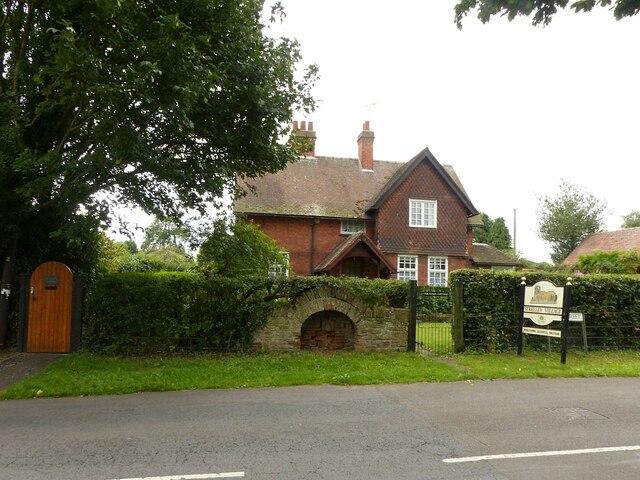
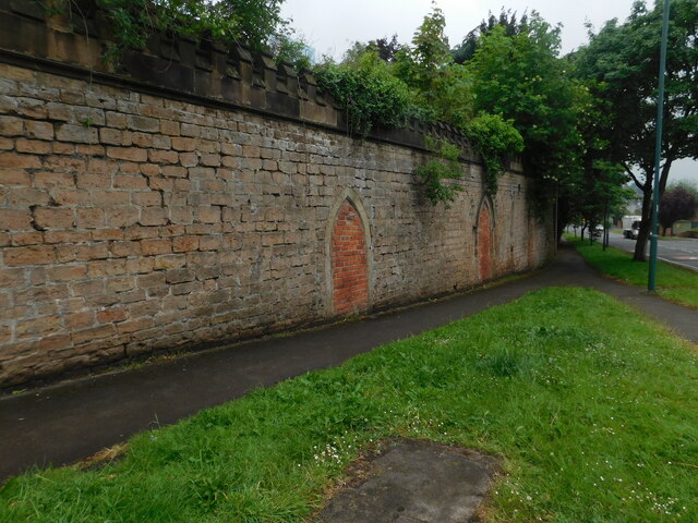
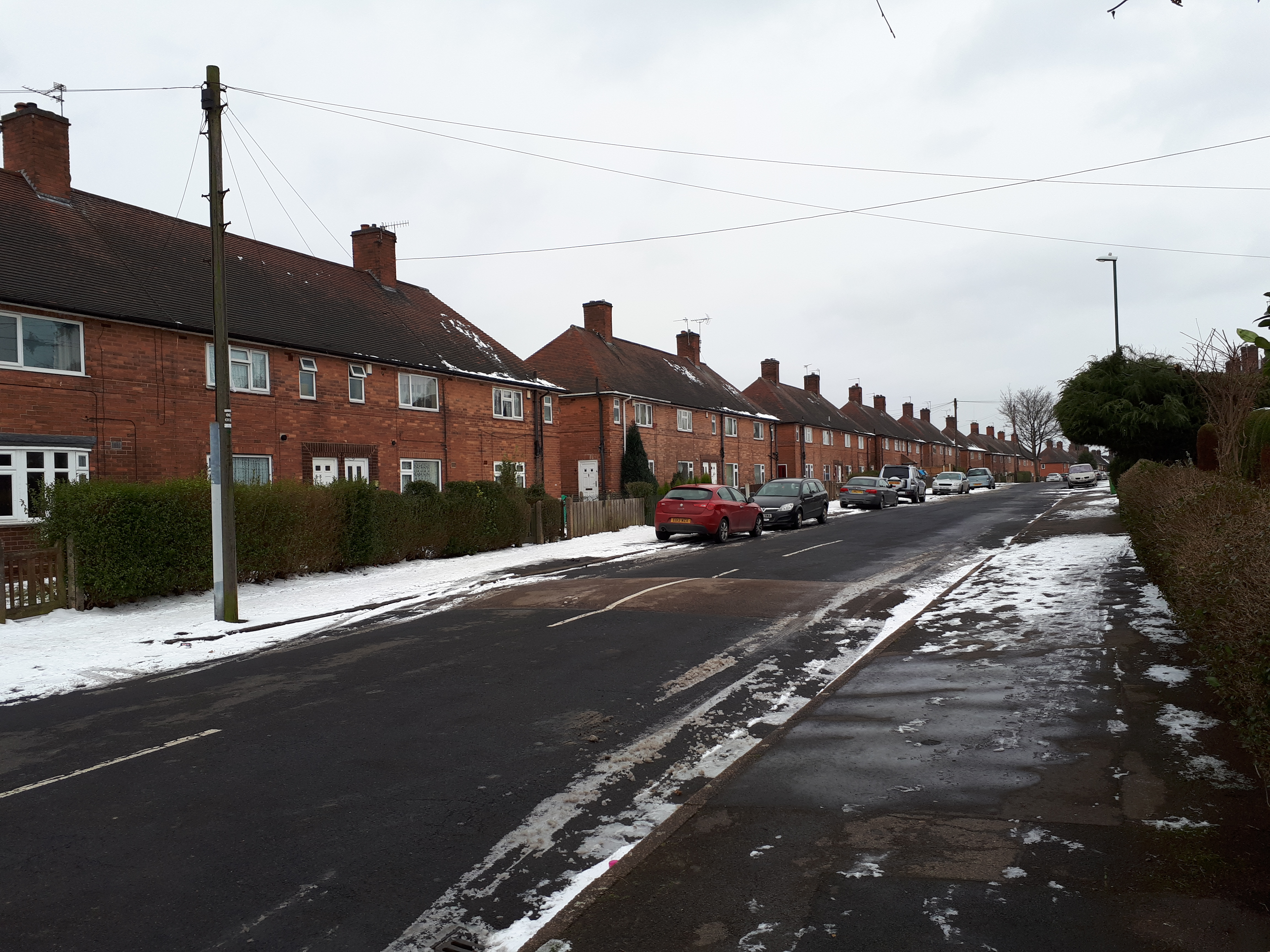
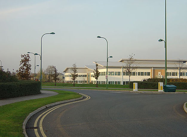
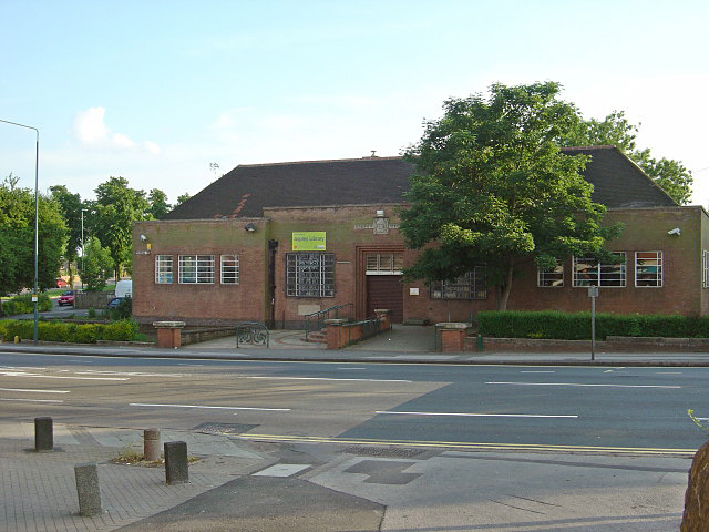
Broxtowe Images
Images are sourced within 2km of 52.978135/-1.21509 or Grid Reference SK5242. Thanks to Geograph Open Source API. All images are credited.


Broxtowe is located at Grid Ref: SK5242 (Lat: 52.978135, Lng: -1.21509)
Unitary Authority: Nottingham
Police Authority: Nottinghamshire
What 3 Words
///warm.dizzy.town. Near Basford, Nottinghamshire
Nearby Locations
Related Wikis
Broxtowe, Nottingham
Broxtowe is a council estate in the City of Nottingham which is part of the Aspley ward. The estate is located 3 miles (5 km) from the City Centre and...

William Crane Comprehensive School
William Crane School, Minver Crescent, Aspley, Nottingham, Nottingham NG8 5PN, was a school consisting of infants, juniors and seniors. The school was...
Strelley, Nottingham
Strelley Estate is a post war housing estate located in the Bilborough ward in the City of Nottingham. The estate is located around 3.5 miles (6 km) from...
Aspley, Nottingham
Aspley is a council estate and a ward of the city of Nottingham, Nottinghamshire, England. It is located within the boundaries of Nottingham City Council...

Cinderhill
Cinderhill is an area in the City of Nottingham. It is located roughly 3.1 miles (5.0 km) from the City Centre, and surrounding areas include Bulwell to...
Trinity School, Nottingham
The Trinity School in Nottingham, England is a Catholic secondary school and sixth form with academy status for pupils aged 11–18. It is part of the Our...
Harvey Hadden Stadium
The Harvey Hadden Stadium is a purpose-built athletics stadium in the Bilborough district of Nottingham, England which is the home of Notts Athletics Club...

Christ Church, Cinderhill
Christ Church, Cinderhill is a Grade II listed parish church in the Church of England in Radford, Nottingham. == History == The church dates from 1856...
Nearby Amenities
Located within 500m of 52.978135,-1.21509Have you been to Broxtowe?
Leave your review of Broxtowe below (or comments, questions and feedback).