Brownside
Settlement in Lancashire Burnley
England
Brownside
Brownside is a small village located in the Ribble Valley district of Lancashire, England. Situated around 10 miles northeast of the city of Preston, the village is nestled amidst the picturesque countryside of the region. With a population of just over 500 residents, Brownside exudes a tranquil and close-knit community ambiance.
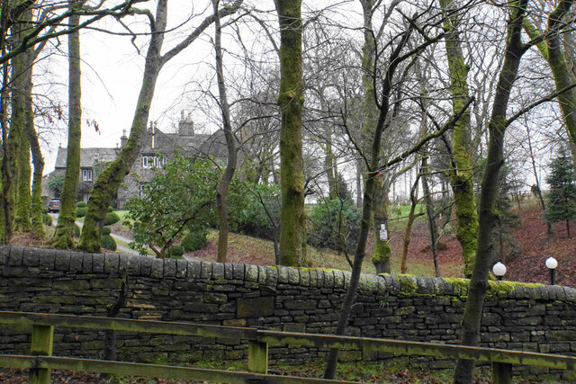
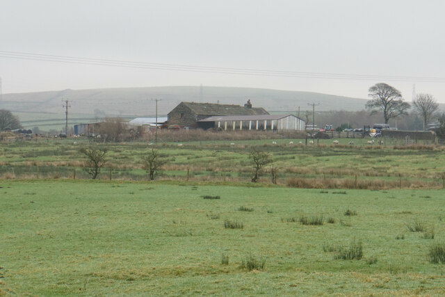
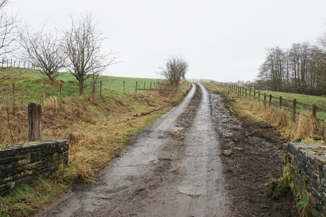
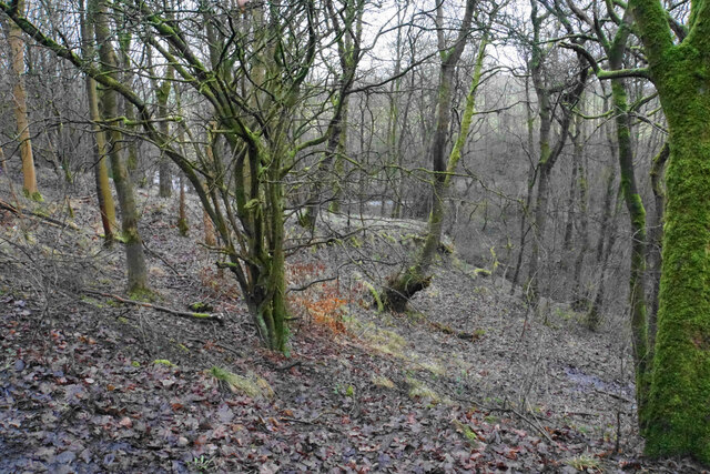
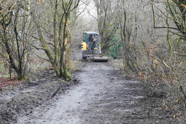
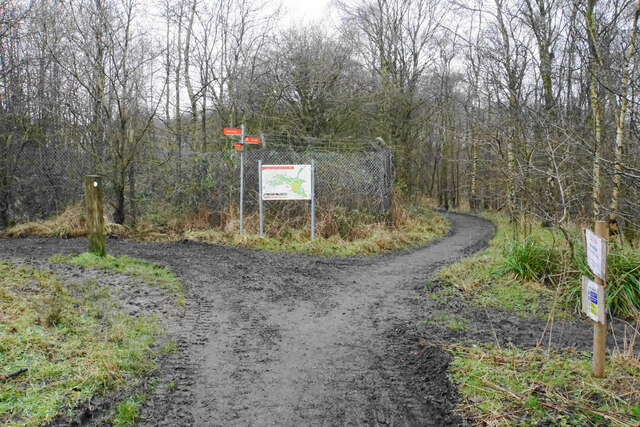
The village is primarily residential, with a scattering of traditional stone-built houses and cottages surrounded by lush green fields and rolling hills. Brownside is known for its idyllic setting, providing a peaceful retreat away from the hustle and bustle of urban life. The village offers stunning views of the surrounding countryside, making it a popular destination for nature lovers and outdoor enthusiasts.
Although small in size, Brownside is not devoid of amenities. The village is home to a community hall, serving as a hub for various social and recreational activities. Additionally, there is a local pub that acts as a social gathering spot for residents and visitors alike.
The village's location also presents opportunities for exploring the nearby attractions. Brownside is in close proximity to the Forest of Bowland, an Area of Outstanding Natural Beauty famous for its diverse wildlife and scenic landscapes. The village is also conveniently situated for accessing the bustling market towns of Clitheroe and Longridge, which offer a range of shops, restaurants, and entertainment options.
In summary, Brownside is a charming and peaceful village within the heart of Lancashire, offering an escape from urban life while providing access to the natural beauty and amenities of the surrounding area.
If you have any feedback on the listing, please let us know in the comments section below.
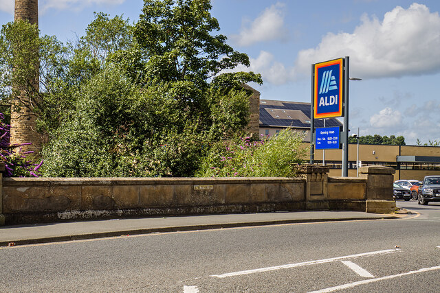
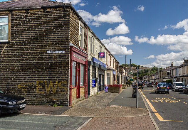
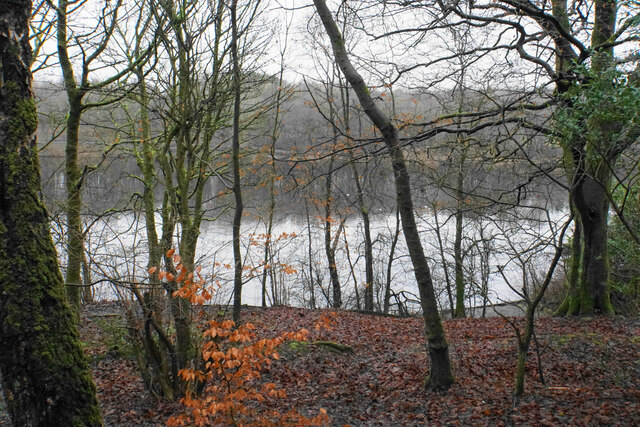
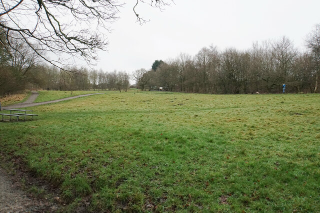
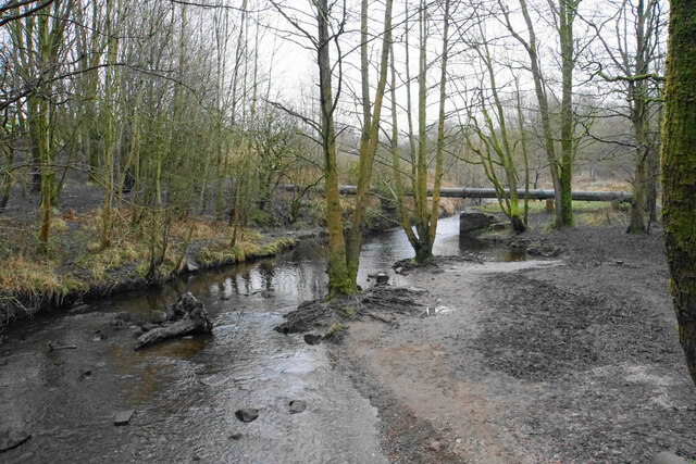
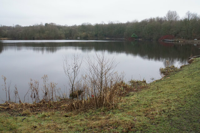
Brownside Images
Images are sourced within 2km of 53.789989/-2.204886 or Grid Reference SD8632. Thanks to Geograph Open Source API. All images are credited.


Brownside is located at Grid Ref: SD8632 (Lat: 53.789989, Lng: -2.204886)
Administrative County: Lancashire
District: Burnley
Police Authority: Lancashire
What 3 Words
///sports.combining.chin. Near Burnley, Lancashire
Nearby Locations
Related Wikis

Worsthorne
Worsthorne is a rural village on the eastern outskirts of Burnley in Lancashire, England. It is in the civil parish of Worsthorne-with-Hurstwood and the...

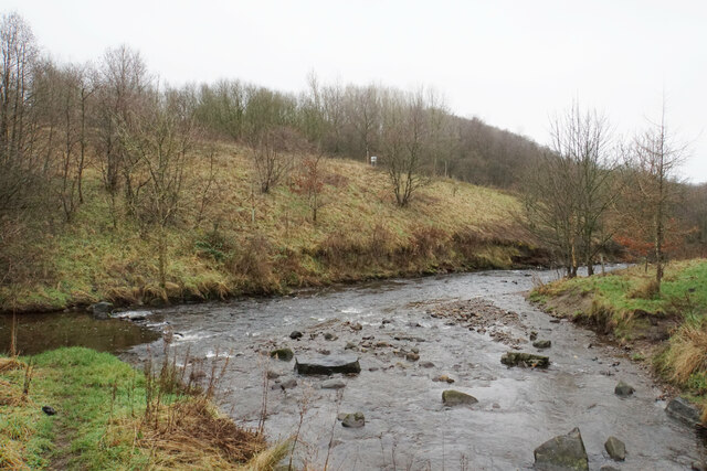
River Don, Lancashire
The River Don is a river in Lancashire, England. It is 6.64 miles (10.69 km) long and has a catchment area of 4.18 square miles (1,082.31 ha).Rising on...
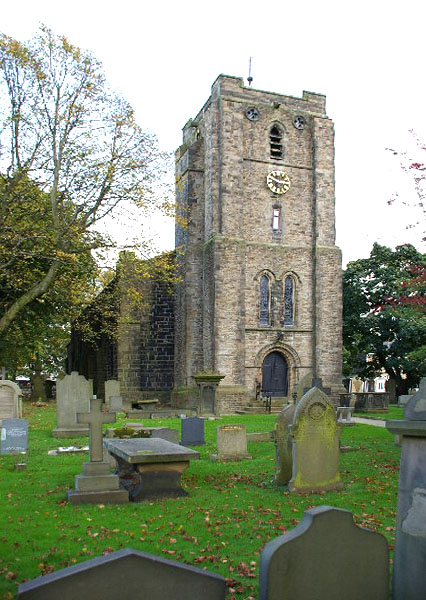
St John the Evangelist's Church, Worsthorne
St John the Evangelist's Church is in Church Square in the village of Worsthorne, Lancashire, England. It is an active Anglican parish church in the deanery...

Unity College, Burnley
Unity College is a mixed 11-16 comprehensive school in Burnley, Lancashire, England. == History == === Former school === Towneley High School originally...

Fother Royd Wood
Fother Royd Wood is a woodland in Lancashire, England, near Worsthorne. It covers a total area of 1.03 hectares (2.55 acres). It is owned and managed by...
Blessed Trinity Roman Catholic College
Blessed Trinity Roman Catholic College is a coeducational Roman Catholic secondary school located in Burnley, Lancashire, England. == History == The school...
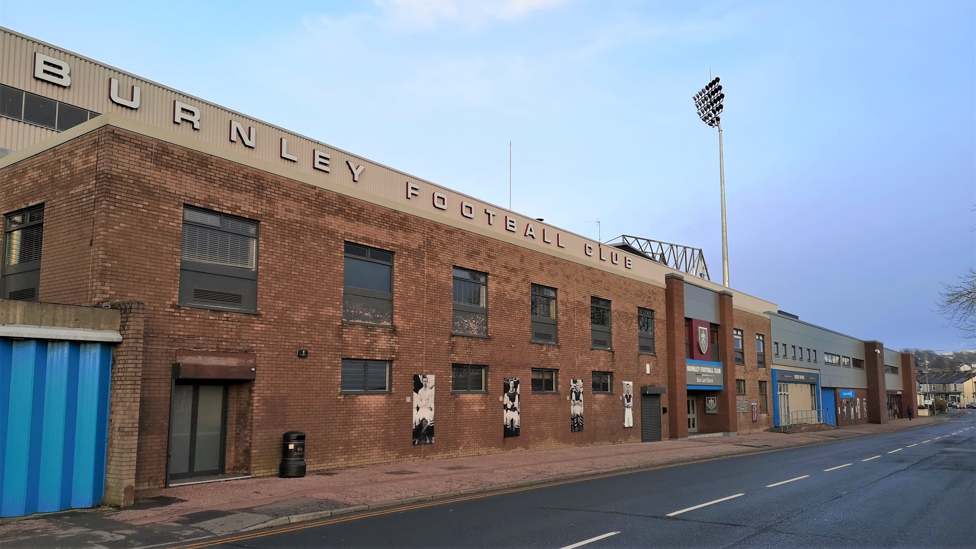
Turf Moor
Turf Moor is an association football stadium in Burnley, Lancashire, England, which has been the home of Burnley Football Club since 1883. This unbroken...

Sir John Thursby Community College
Sir John Thursby Community College is a mixed 11-16 comprehensive school in Burnley, Lancashire, England. It is named for Sir John Hardy Thursby (1826...
Nearby Amenities
Located within 500m of 53.789989,-2.204886Have you been to Brownside?
Leave your review of Brownside below (or comments, questions and feedback).