Pampisford
Civil Parish in Cambridgeshire South Cambridgeshire
England
Pampisford
Pampisford is a civil parish located in the county of Cambridgeshire, England. It is situated approximately 8 miles south of the city of Cambridge and covers an area of around 1.7 square miles. The parish is predominantly rural, with an estimated population of around 400 people.
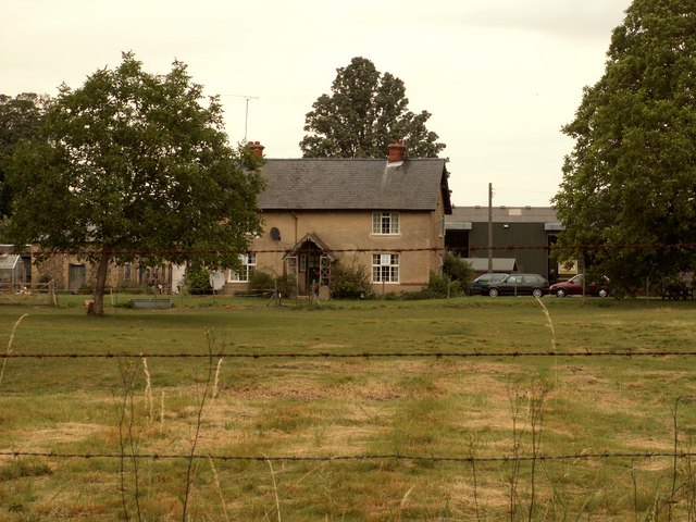
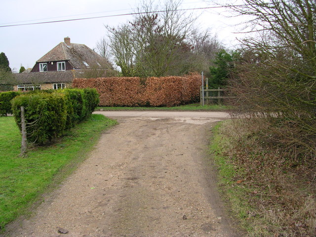
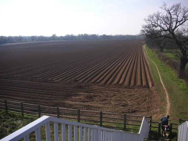
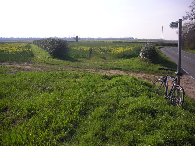
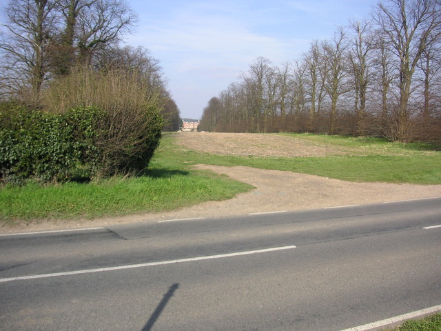
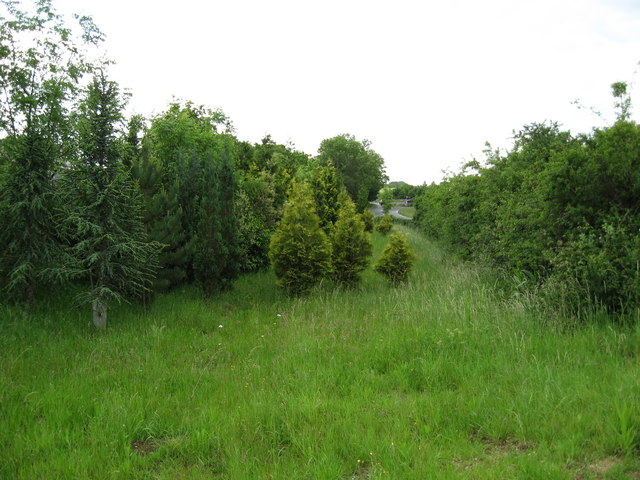
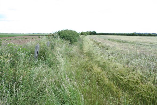
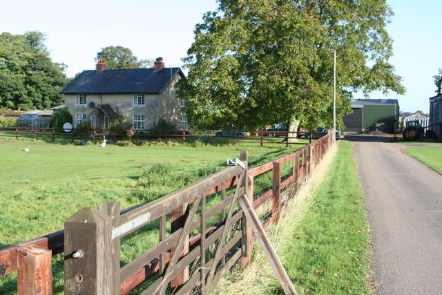
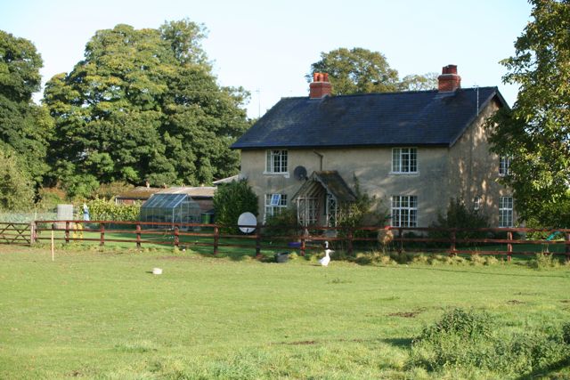
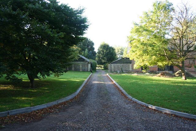
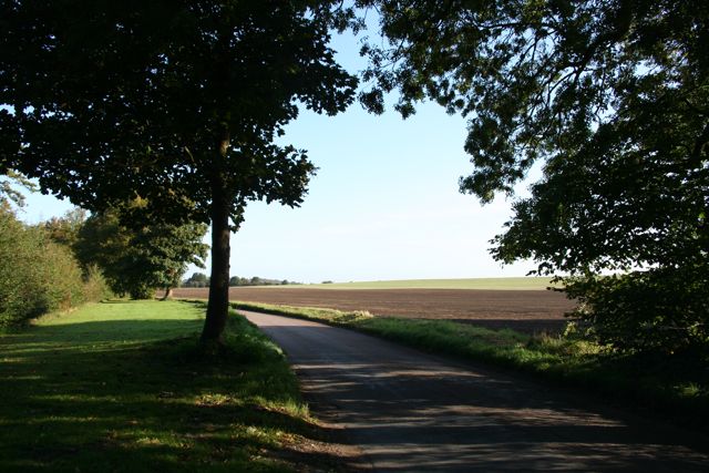
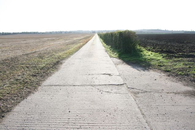
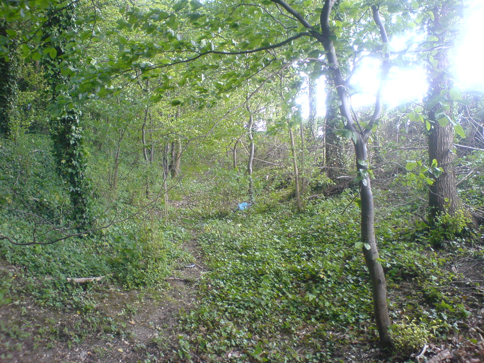
Pampisford is known for its picturesque landscape, comprising of open fields, woodlands, and charming countryside scenery. The River Granta flows through the parish, adding to its natural beauty. The village itself is small and quaint, with a few residential properties and a historic church, St. John the Baptist.
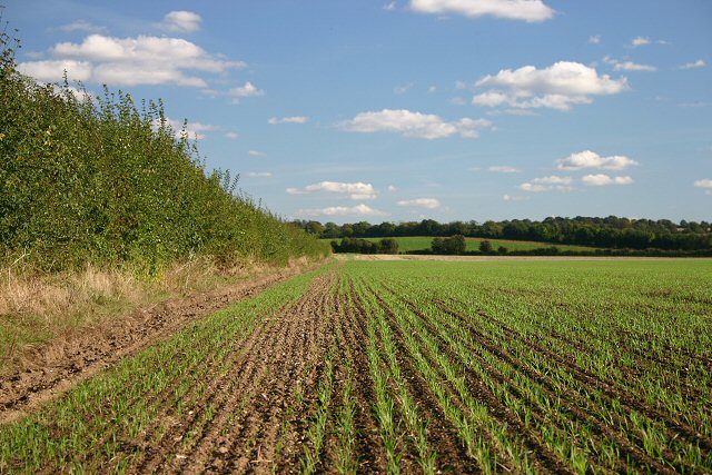
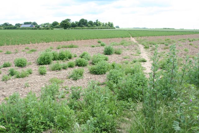
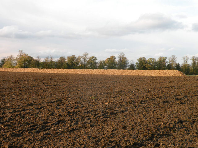
The economy of Pampisford is largely based on agriculture, with farming being the primary industry. The fertile land in the area allows for the cultivation of various crops, including cereals and vegetables. The parish also has a number of small businesses and services, providing employment opportunities for local residents.
Pampisford offers a peaceful and tranquil environment, attracting those who seek a rural lifestyle away from the hustle and bustle of city living. It is a close-knit community, with several community events and activities organized throughout the year. The parish is well-connected to nearby towns and cities, with good transport links, making it a desirable location for those who work in Cambridge or other nearby areas.
Overall, Pampisford is a charming civil parish that offers a slice of rural life in the heart of Cambridgeshire.
If you have any feedback on the listing, please let us know in the comments section below.
Pampisford Images
Images are sourced within 2km of 52.113477/0.194551 or Grid Reference TL5048. Thanks to Geograph Open Source API. All images are credited.


Pampisford is located at Grid Ref: TL5048 (Lat: 52.113477, Lng: 0.194551)
Administrative County: Cambridgeshire
District: South Cambridgeshire
Police Authority: Cambridgeshire
What 3 Words
///popped.poetry.risking. Near Sawston, Cambridgeshire
Nearby Locations
Related Wikis

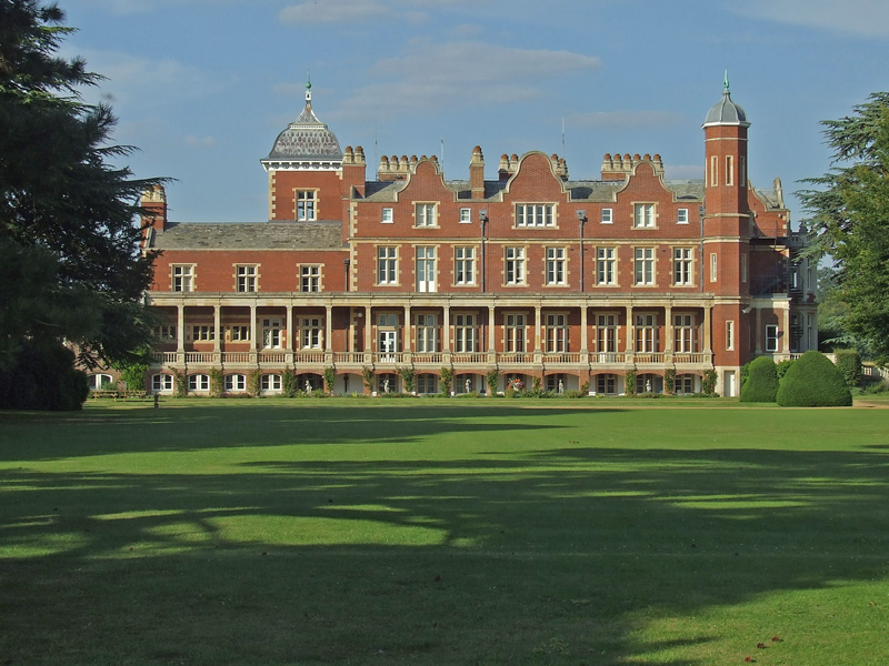
Pampisford Hall
Pampisford Hall is a country house designed by George Goldie in the civil parish of Pampisford in the English county of Cambridgeshire. It became a Grade...
Babraham
Babraham is a village and civil parish in the South Cambridgeshire district of Cambridgeshire, England, about 6 miles (9.7 km) south-east of Cambridge...

Pampisford
Pampisford is a village, south of Cambridge, on the A505 road near Sawston, Cambridgeshire, England. The remaining section of a defensive ditch, dug to...
Brent Ditch
Brent Ditch is generally assumed to be an Anglo-Saxon earthwork in Southern Cambridgeshire, England, built around the 6th and 7th centuries AD. However...

Sawston Hall Meadows
Sawston Hall Meadows is a 7.4-hectare (18-acre) biological Site of Special Scientific Interest in Sawston in Cambridgeshire.This site has spring fed peat...
Pampisford railway station
Pampisford railway station is a former British railway station in Pampisford, Cambridgeshire. It was on the Stour Valley Railway from 1865 to its closure...
Hanley Grange
Hanley Grange is the name given to an eco-town planned for land north of Hinxton in South Cambridgeshire. Initial proposals for 8,000 homes rising to...
Bourne Bridge railway station
Bourne Bridge railway station served Little Abington, Great Abington, Pampisford and Babraham in Cambridgeshire. It was closed in 1851, along with its...
Nearby Amenities
Located within 500m of 52.113477,0.194551Have you been to Pampisford?
Leave your review of Pampisford below (or comments, questions and feedback).