Brown's Green
Settlement in Staffordshire
England
Brown's Green

Brown's Green is a small village located in the county of Staffordshire, England. Situated just south of the town of Stoke-on-Trent, it falls within the Stoke-on-Trent City Council area. The village is primarily residential, with a population of approximately 500 residents.
The area is known for its picturesque countryside, with rolling hills, meandering streams, and beautiful woodlands surrounding the village. This makes it a popular destination for nature lovers and outdoor enthusiasts. The village itself is characterized by a mix of traditional stone cottages and modern houses, giving it a charming and unique atmosphere.
Despite its small size, Brown's Green offers a range of amenities for its residents. There is a local primary school, providing education for children in the village and the surrounding areas. The village also has a community center, offering various activities and events for residents of all ages.
For those seeking recreational opportunities, Brown's Green is well-placed. The nearby countryside provides ample opportunities for walking, cycling, and horse riding. The village is also within close proximity to several nature reserves and country parks, such as Barlaston Downs and Hem Heath Woods, allowing residents to enjoy the natural beauty of the area.
With its idyllic setting and community spirit, Brown's Green offers a peaceful and welcoming environment for its residents. It provides a perfect balance of rural living while still being within easy reach of the amenities and attractions of nearby towns and cities.
If you have any feedback on the listing, please let us know in the comments section below.
Brown's Green Images
Images are sourced within 2km of 52.519621/-1.929522 or Grid Reference SP0491. Thanks to Geograph Open Source API. All images are credited.


Brown's Green is located at Grid Ref: SP0491 (Lat: 52.519621, Lng: -1.929522)
Unitary Authority: Birmingham
Police Authority: West Midlands
What 3 Words
///venues.food.employ. Near Hockley, West Midlands
Nearby Locations
Related Wikis

The Anchorage, Birmingham
The Anchorage is a Grade II* listed building in Handsworth Wood, Birmingham, England.It was built in 1899, to Arts and Crafts-style designs by Joseph Crouch...

Browns Green
Browns Green (sometimes Brown's Green or historically Browne's Green) is a small area of Handsworth Wood, Birmingham, England. Adjacent areas include Handsworth...
King Edward VI Handsworth Wood Girls' Academy
King Edward VI Handsworth Wood Girls' Academy is a secondary school and sixth form located in Handsworth Wood, Birmingham, England. The building that the...
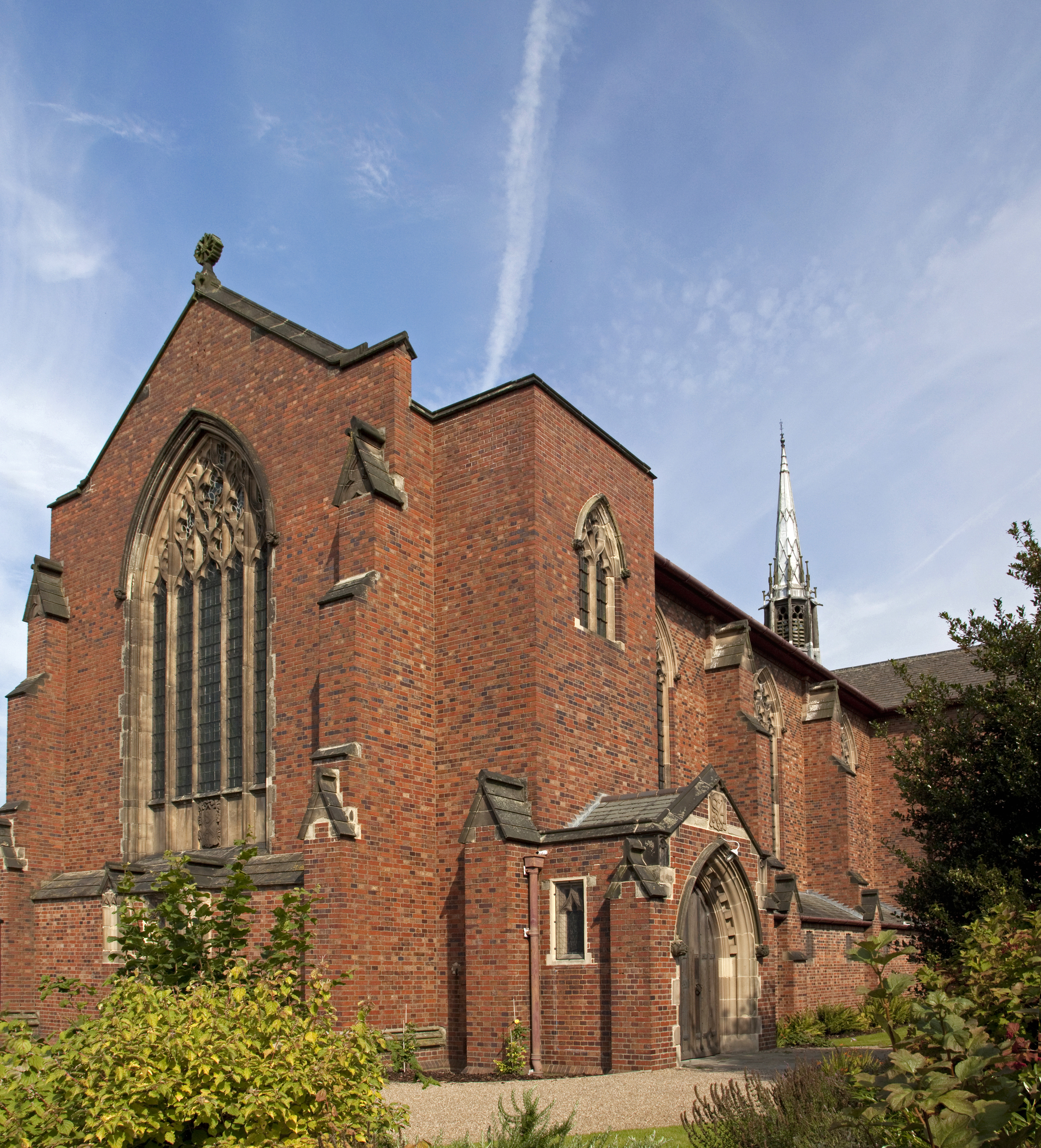
St Andrew's Church, Handsworth
St Andrew's Church, Handsworth is a Grade I listed parish church in the Church of England in Handsworth, West Midlands. == History == The church originated...
Nearby Amenities
Located within 500m of 52.519621,-1.929522Have you been to Brown's Green?
Leave your review of Brown's Green below (or comments, questions and feedback).