Pamber

Civil Parish in Hampshire Basingstoke and Deane

England

Pamber

Barley Field near Coombe House Farm The square is currently planted with more than one type of crop. This barley field is in the south western section of the square.
Barley Field near Coombe House Farm Credit: Pam Brophy

Pamber is a civil parish located in the county of Hampshire, in southern England. It is situated about 50 miles southwest of London and lies within the borough of Basingstoke and Deane. The parish is made up of two distinct villages: Pamber Heath and Pamber End.

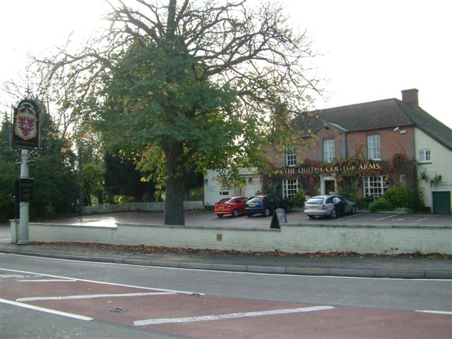
Pamber Heath is the larger of the two villages and is located to the east of the parish. It is a predominantly residential area with a mix of housing styles, including detached houses, bungalows, and some newer developments. Pamber Heath also has a primary school, a community center, and a small shopping area with a few local amenities.

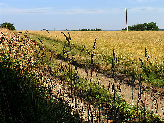
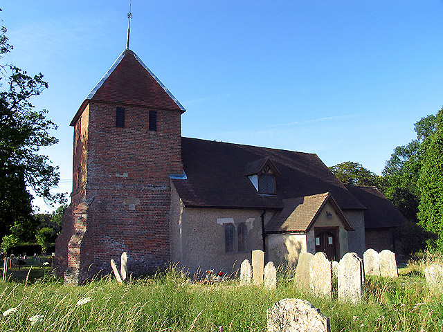
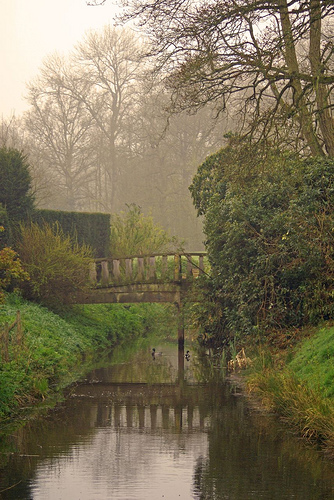
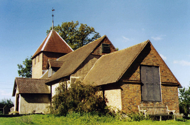
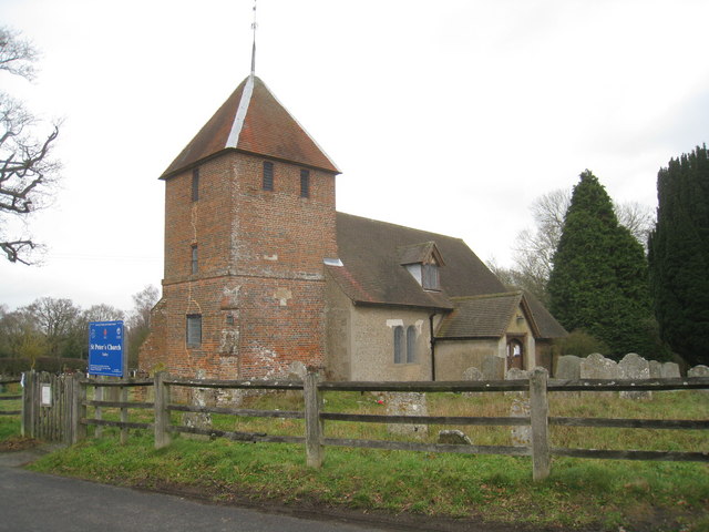
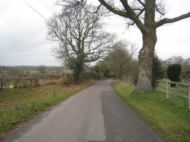
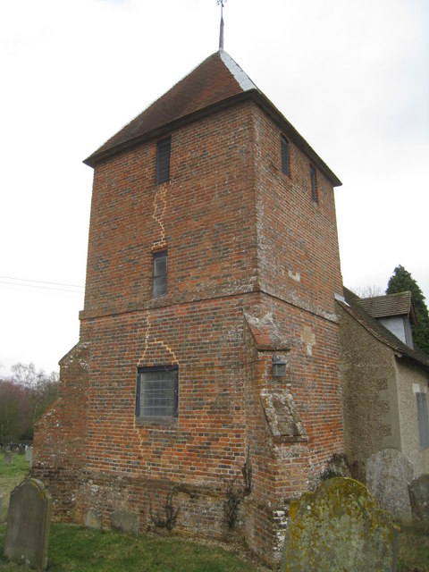
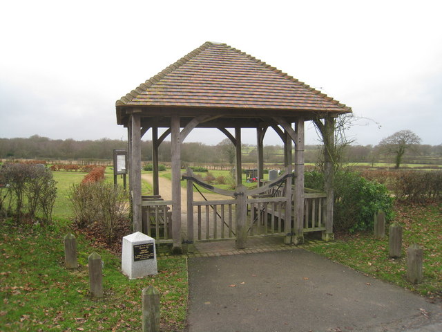
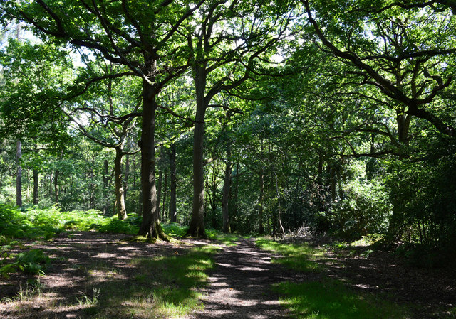
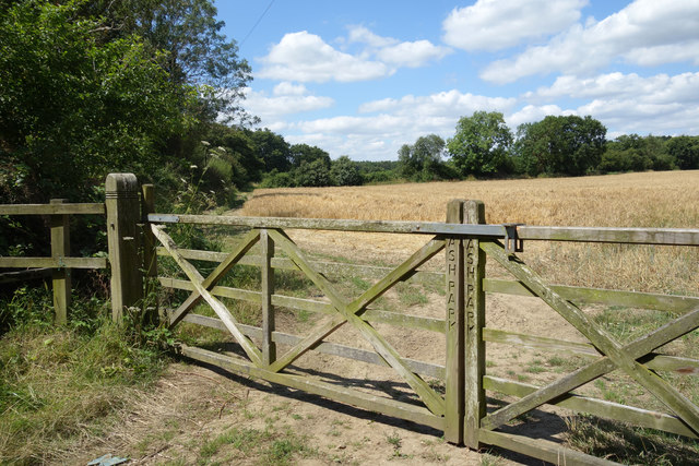
Pamber End, on the other hand, is a smaller village located to the west of the parish. It is characterized by its rural setting, with picturesque countryside and a few scattered farms. Pamber End has a more traditional feel, with a historic church and a handful of period cottages.

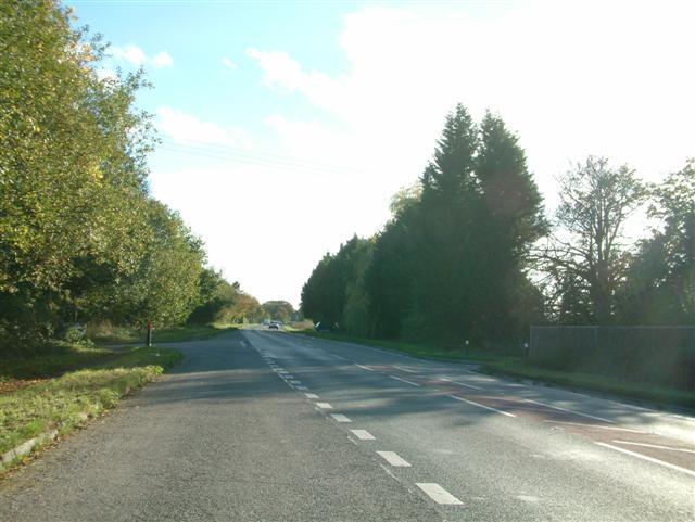
The parish as a whole benefits from its proximity to the larger town of Basingstoke, which offers a wider range of amenities, shopping centers, and leisure facilities. Pamber is also well-connected to major road networks, with easy access to the M3 motorway.

Overall, Pamber is a charming and peaceful civil parish that offers a mix of rural and residential living. Its picturesque surroundings, coupled with its convenient location, make it an attractive place to live for both families and individuals looking for a quieter lifestyle within easy reach of larger towns and cities.

If you have any feedback on the listing, please let us know in the comments section below.

Pamber Images

Images are sourced within 2km of 51.334151/-1.119275 or Grid Reference SU6159. Thanks to Geograph Open Source API. All images are credited.

Barley Field near Coombe House Farm The square is currently planted with more than one type of crop. This barley field is in the south western section of the square.
Barley Field near Coombe House Farm
The square is currently planted with more than one type of crop. This barley field is in the south western section of the square.
St Peter's near Tadley Place This square is mostly farmland but also contains the Church of St Peter. The church has a new cemetery and with a new lych gate at its entrance. This new cemetery is opposite the church.
St Peter's near Tadley Place
This square is mostly farmland but also contains the Church of St Peter. The church has a new cemetery and with a new lych gate at its entrance. This new cemetery is opposite the church.
Wyeford farm moat Photo shot from the footpath that passes this lovely moated house
Wyeford farm moat
Photo shot from the footpath that passes this lovely moated house
St Peter, Tadley Grade 2 listed building erected in the 13th century.
St Peter, Tadley
Grade 2 listed building erected in the 13th century.
St Peter's Church, Tadley South of the ever expanding Tadley.
St Peter's Church, Tadley
South of the ever expanding Tadley.
Church Lane - Tadley Heading towards the village just by St Peter's Church.
Church Lane - Tadley
Heading towards the village just by St Peter's Church.
St Peter's Church, Tadley
Cemetery entrance St Peter's Church, Tadley.
Cemetery entrance
St Peter's Church, Tadley.
Bridleway, Pamber Forest, Hampshire
Byes Lane Despite appearances, there are several houses along the lane.
Byes Lane
Despite appearances, there are several houses along the lane.
Little London Road Approaching Silchester.
Little London Road
Approaching Silchester.
Byes Lane, Silchester Byes Lane is yet another three part road, both roads joining Little London Road here which join after around half a mile share the name of the one they merge into. Worse when there are postal addresses on each branch as well which many have.
Byes Lane, Silchester
Byes Lane is yet another three part road, both roads joining Little London Road here which join after around half a mile share the name of the one they merge into. Worse when there are postal addresses on each branch as well which many have.
Path into the woods, Silchester
A340 Main Road, Tadley Towards Aldermaston.
A340 Main Road, Tadley
Towards Aldermaston.
A340, Tadley Roundabout Sponsored by Sure4Doors.
A340, Tadley Roundabout
Sponsored by Sure4Doors.
Field Gates, Ash Park Ash Park isn't shown on the map, but these inscribed gates are obviously part of the property. A public footpath is over the stile at the side.
Field Gates, Ash Park
Ash Park isn't shown on the map, but these inscribed gates are obviously part of the property. A public footpath is over the stile at the side.
Path into Pamber Forest "Pamber Forest and Silchester Common is a Site of Special Scientific Interest in Hampshire, UK. Covering 478 acres, the forest is known for its abundance of butterflies, of which 40 species have been identified – including the purple emperor, the white admiral, the silver-washed fritillary and the purple hairstreak". Wikipedia
Path into Pamber Forest
"Pamber Forest and Silchester Common is a Site of Special Scientific Interest in Hampshire, UK. Covering 478 acres, the forest is known for its abundance of butterflies, of which 40 species have been identified – including the purple emperor, the white admiral, the silver-washed fritillary and the purple hairstreak". Wikipedia
Logs in the Entrance The tried and tested way of keeping vehicles off your land.
Logs in the Entrance
The tried and tested way of keeping vehicles off your land.
Show me another place!

Pamber is located at Grid Ref: SU6159 (Lat: 51.334151, Lng: -1.119275)

Administrative County: Hampshire

District: Basingstoke and Deane

Police Authority: Hampshire

What 3 Words

///minivans.flagpole.mini. Near Tadley, Hampshire

Nearby Locations

Pamber

Related Wikis

Pamber Green

Pamber Green is a hamlet in north Hampshire, England. == Governance == Pamber Green is part of the parish of Pamber, which covers Pamber Heath, Pamber...

Little London, Tadley, Hampshire

Little London is a village situated between the North Hampshire Downs and the gravel plains of the Kennet valley, 7 miles (11 km) north of Basingstoke...

Pamber

Pamber is a civil parish located in the north of Hampshire, England, near the border with Berkshire. The parish population at the 2011 Census was 2,613...

Pamber End

Pamber End is a hamlet in north Hampshire, England. Located south of Tadley.. == Governance == Pamber End is part of the civil parish of Pamber (where...

Pamber Forest and Silchester Common

Pamber Forest and Silchester Common is a 341.7-hectare (844-acre) biological Site of Special Scientific Interest in Tadley in Hampshire. Pamber Forest...

Ron Ward's Meadow With Tadley Pastures

Ron Ward's Meadow With Tadley Pastures is a site of Site of Special Scientific Interest (SSSI). It is based on the edge of Tadley in Hampshire, England...
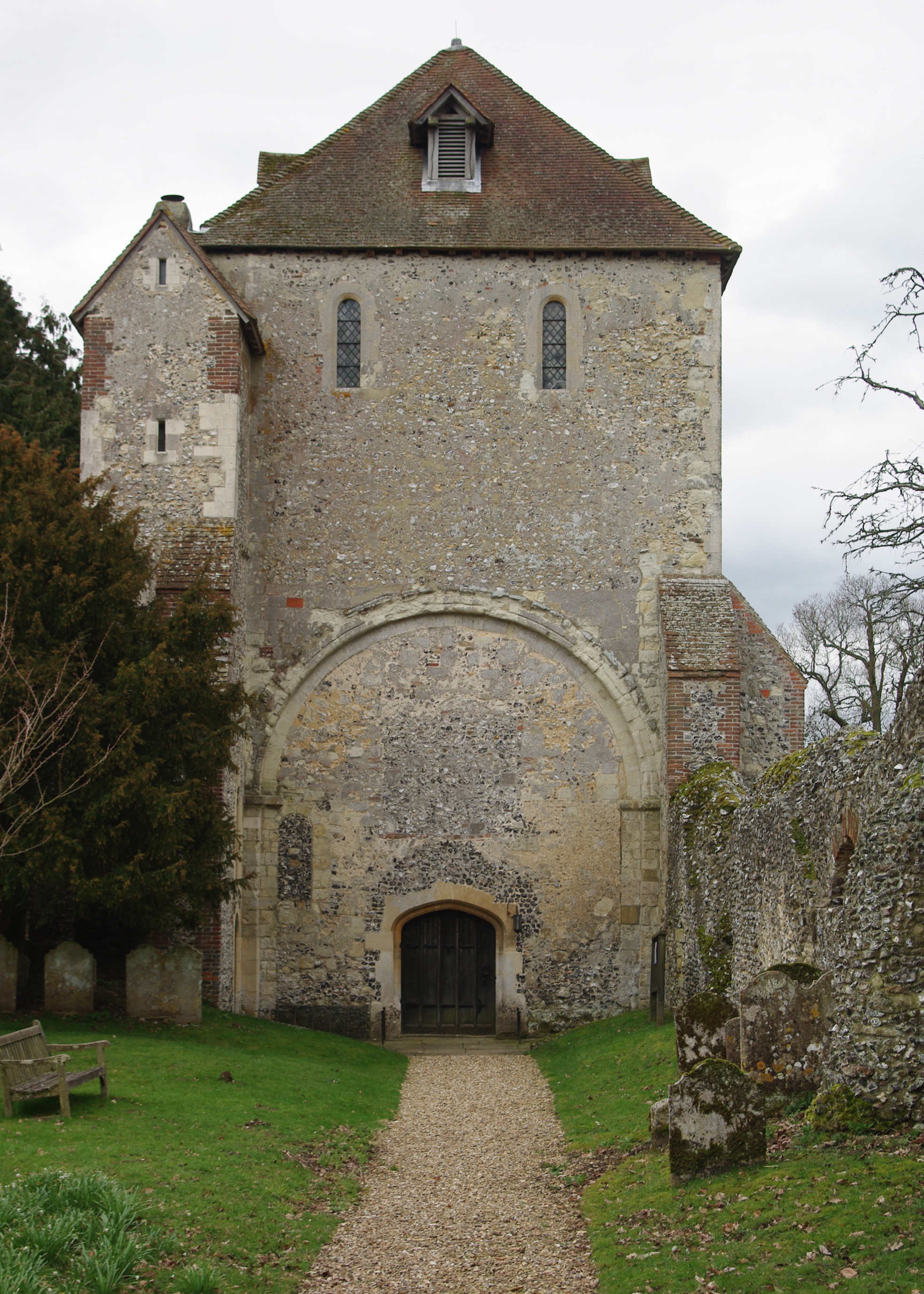
Pamber Priory

Pamber Priory is a Church of England parish church and former priory, then known as West Sherborne Priory or Monk Sherborne Priory, at Monk Sherborne in...

Tadley

Tadley is a town and civil parish in the English county of Hampshire. During the 1950s and 1960s, the Atomic Weapons Research Establishment (AWRE), now...

Nearby Amenities

Located within 500m of 51.334151,-1.119275
Barrier: stile
Foot: yes
Lat/Long: 51.3355315/-1.1135465
Barrier: stile
Lat/Long: 51.3357838/-1.1132544
Post Box
Postal Code: RG26
Ref: RG26 29
Lat/Long: 51.3337145/-1.1252019
The data included in this document is from www.openstreetmap.org. The data is made available under ODbL.

Have you been to Pamber?

Leave your review of Pamber below (or comments, questions and feedback).