Owston

Civil Parish in Yorkshire Doncaster

England

Owston

Thornhurst Manor in Doncaster
Thornhurst Manor in Doncaster Credit: Mickey

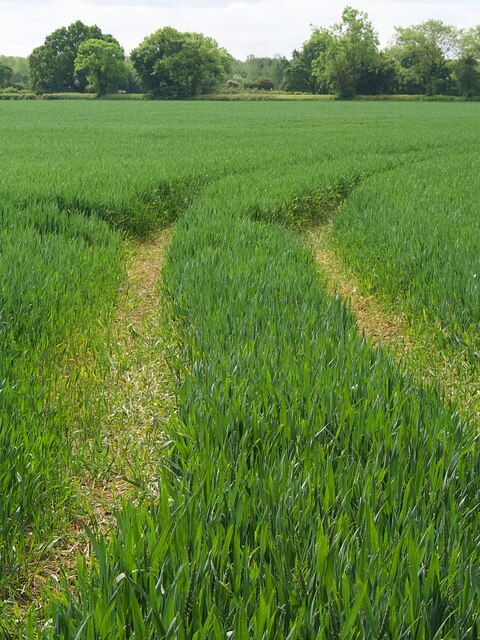
Owston is a civil parish located in the county of Yorkshire, England. Situated in the district of Doncaster, it is a small village with a population of approximately 500 residents. The parish covers an area of around 3 square miles, encompassing mainly agricultural land.

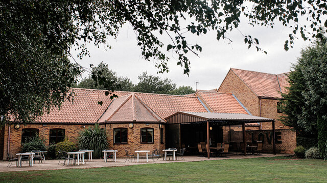
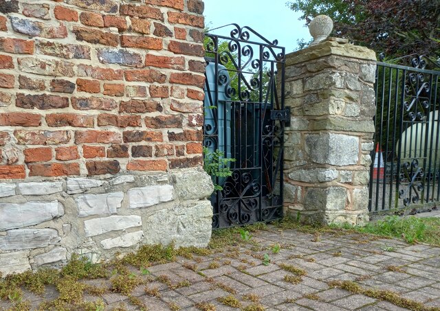
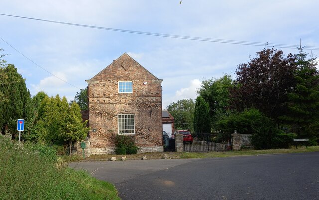
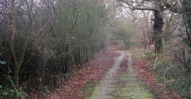
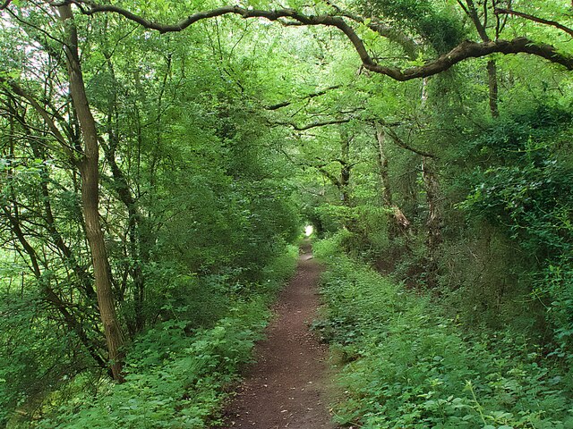
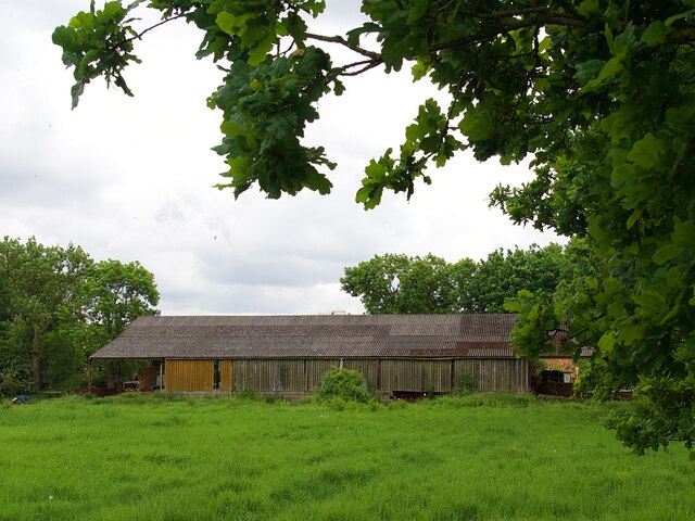
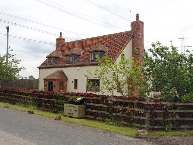
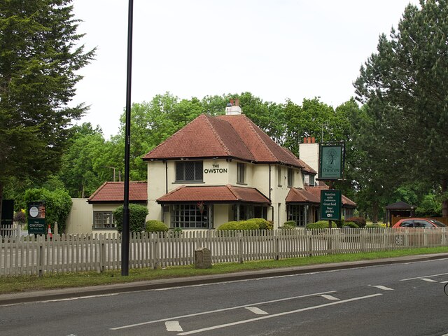
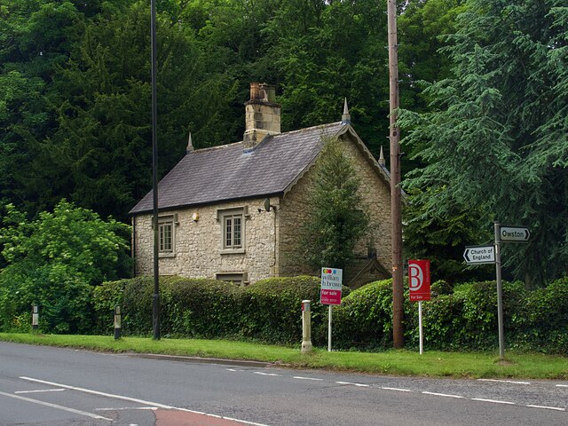
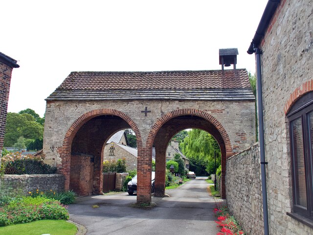
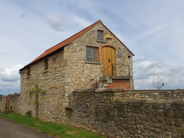
The village of Owston is known for its picturesque and idyllic setting, with charming cottages and traditional stone-built houses scattered throughout the area. It is surrounded by beautiful countryside, featuring rolling hills and expansive fields, making it an attractive destination for nature lovers and outdoor enthusiasts.

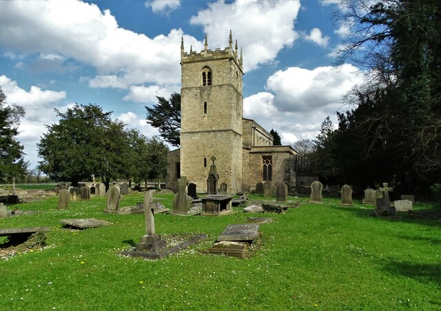
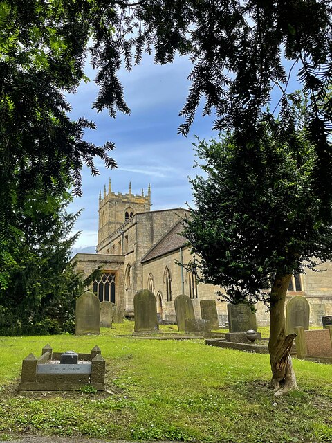
The village is home to a historic church, St. Martin's Church, which dates back to the 12th century. This ancient place of worship is a significant landmark in the area, attracting visitors who are interested in the region's rich history and architectural heritage.

Although Owston is a small village, it benefits from a close-knit and friendly community. The village has a primary school, providing education for local children, and a village hall that serves as a hub for various community activities and events.

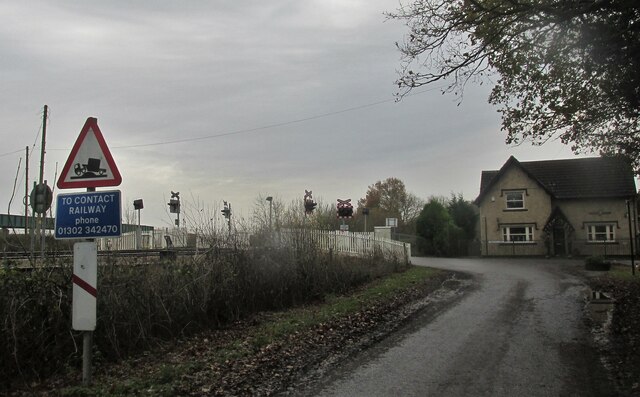
Despite its rural location, Owston enjoys good transport links, with easy access to nearby towns and cities. The village is located just a short distance from the A1(M) motorway, providing convenient connections to Doncaster, Leeds, and other major cities in the region.

In summary, Owston is a charming and peaceful civil parish in Yorkshire, boasting a scenic countryside, a rich history, and a close community spirit.

If you have any feedback on the listing, please let us know in the comments section below.

Owston Images

Images are sourced within 2km of 53.593822/-1.143349 or Grid Reference SE5611. Thanks to Geograph Open Source API. All images are credited.

Thornhurst Manor in Doncaster
Haywood, Dove Cottage The benchmark is cut into the south-east facing wall of Dove Cottage.
Haywood, Dove Cottage
The benchmark is cut into the south-east facing wall of Dove Cottage.
Haywood, Dove Cottage A wider angle showing south-east facing wall of Dove Cottage. There is a benchmark cut into the bottom right cornerstone.
Haywood, Dove Cottage
A wider angle showing south-east facing wall of Dove Cottage. There is a benchmark cut into the bottom right cornerstone.
Wheat Holme Lane Along the edge of Owston Wood.
Wheat Holme Lane
Along the edge of Owston Wood.
Railway crossing at Thorpe Gates A December walk.
Railway crossing at Thorpe Gates
A December walk.
All Saints Church, Owston Between 1180-1200 the church was a simple structure of nave and chancel. All that remains of that early structure is the west wall showing typical herringbone masonry of the early Norman period. The tower was added in the thirteenth century. Between 1200-1250 the north aisle was added.  Between 1300-1350 a south aisle was added, the nave was extended and a new chancel was built. 

(adapted from the National Churches Trust website)
All Saints Church, Owston
Between 1180-1200 the church was a simple structure of nave and chancel. All that remains of that early structure is the west wall showing typical herringbone masonry of the early Norman period. The tower was added in the thirteenth century. Between 1200-1250 the north aisle was added. Between 1300-1350 a south aisle was added, the nave was extended and a new chancel was built. (adapted from the National Churches Trust website)
Daisies at Owston Church Pushing through a crack in a stone path
Daisies at Owston Church
Pushing through a crack in a stone path
Much Missed A memorial bench in All Saints churchyard, Owston. It has taken on the appearance of a shrine.
Much Missed
A memorial bench in All Saints churchyard, Owston. It has taken on the appearance of a shrine.
"The Owston" - public house on Doncaster Road
Path in Rushy Moor Plantation
Barn at Rushy Moor House
Crossing Gate Farm Beside Haywood Crossing where Storrs Lane crosses the Doncaster-Wakefield railway
Crossing Gate Farm
Beside Haywood Crossing where Storrs Lane crosses the Doncaster-Wakefield railway
Tractor lines in a field of barley
The Owston Public house and restaurant on the A19 Doncaster Road to the east of the village
The Owston
Public house and restaurant on the A19 Doncaster Road to the east of the village
Askern Lodge Former lodge on the Owston Hall Estate on the A19 Doncaster Road.
Askern Lodge
Former lodge on the Owston Hall Estate on the A19 Doncaster Road.
Owston Hall Cart Shelter A grade II listed building built in the early 19th century for the Owston Hall Estate
Owston Hall Cart Shelter
A grade II listed building built in the early 19th century for the Owston Hall Estate
The Old School House A grade II listed building built in the early 19th century for the Owston Hall Estate
The Old School House
A grade II listed building built in the early 19th century for the Owston Hall Estate
Church of All Saints Grade I listed parish church dating from the 11th century
Church of All Saints
Grade I listed parish church dating from the 11th century
Show me another place!

Owston is located at Grid Ref: SE5611 (Lat: 53.593822, Lng: -1.143349)

Division: West Riding

Administrative County: South Yorkshire

District: Doncaster

Police Authority: South Yorkshire

What 3 Words

///refreshed.fattening.coiling. Near Askern, South Yorkshire

Related Wikis

Joan Croft Halt railway station

Joan Croft Halt railway station was a small halt on the East Coast Main Line (ECML) situated by a level crossing at Joan Croft Junction in South Yorkshire...

North Doncaster Chord

The North Doncaster Chord (also known as the Shaftholme Flyover) is a railway connection (chord) between the freight only lines between Hatfield & Stainforth...

Owston, South Yorkshire

Owston is a small village and civil parish in the City of Doncaster in rural South Yorkshire, England. Historically part of the West Riding of Yorkshire...

Tilts

Tilts is a hamlet in the City of Doncaster, South Yorkshire, England, some 4 miles (6.4 km) north of Doncaster city centre and 3 miles (4.8 km) south of...

Askern Miners F.C.

Askern Miners Football Club is a football club based in Askern, Doncaster, South Yorkshire, England. They are currently members of the Doncaster Saturday...

Sutton, South Yorkshire

Sutton is a small village and former civil parish, now in the parish of Norton, in the City of Doncaster in South Yorkshire, England. It lies at approximately...

Carcroft

Carcroft is a rural village in the City of Doncaster, South Yorkshire, England. Historically part of the West Riding of Yorkshire, the village is roughly...

Thorpe Marsh Nature Reserve

Thorpe Marsh Nature Reserve is a 77-hectare (190-acre) nature reserve located south-west of Thorpe in Balne, north of Doncaster in South Yorkshire, England...

Nearby Amenities

Located within 500m of 53.593822,-1.143349
Power: pole
Lat/Long: 53.5917092/-1.1496371
Power: pole
Lat/Long: 53.5926912/-1.1495505
Power: pole
Lat/Long: 53.5941715/-1.1494547
Power: pole
Lat/Long: 53.5947827/-1.1494098
Power: pole
Lat/Long: 53.5961424/-1.149326
Golf: pin
Lat/Long: 53.5897356/-1.1403981
Golf: pin
Lat/Long: 53.5908805/-1.1428667
The data included in this document is from www.openstreetmap.org. The data is made available under ODbL.

Have you been to Owston?

Leave your review of Owston below (or comments, questions and feedback).