Overbury
Civil Parish in Worcestershire Wychavon
England
Overbury
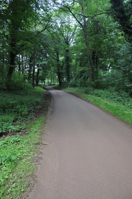
Overbury is a civil parish located in the county of Worcestershire, England. Situated in the Malvern Hills District, it covers an area of approximately 5 square miles. The village itself is nestled at the foot of Bredon Hill, offering picturesque views of the surrounding countryside.
The population of Overbury is relatively small, with around 300 residents. The parish is predominantly rural, characterized by its charming stone cottages and traditional English architecture. It exudes a peaceful and idyllic atmosphere, making it a popular destination for those seeking a tranquil retreat.
The heart of the village is centered around St. Faith's Church, a historic Grade I listed building dating back to the 12th century. The church is known for its striking Norman architecture and beautiful stained glass windows. It serves as a place of worship for the local community and attracts visitors from far and wide.
In addition to its natural beauty, Overbury is also home to several amenities. These include a village hall, a primary school, and a local pub, providing essential services and a sense of community for its residents.
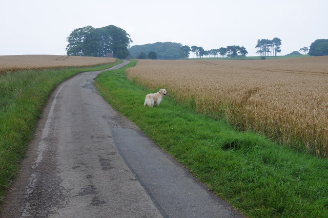
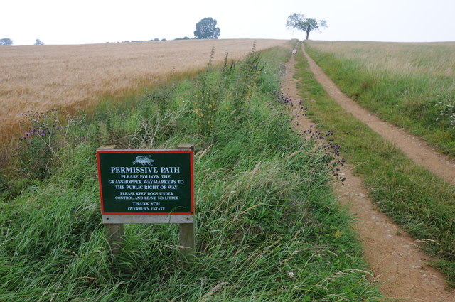
The surrounding countryside offers ample opportunities for outdoor activities, such as hiking, cycling, and horse riding. The nearby Bredon Hill provides stunning panoramic views, while the Cotswolds Area of Outstanding Natural Beauty is just a short drive away.
Overall, Overbury is a charming and picturesque civil parish, offering a peaceful and rural lifestyle in the heart of Worcestershire.
If you have any feedback on the listing, please let us know in the comments section below.
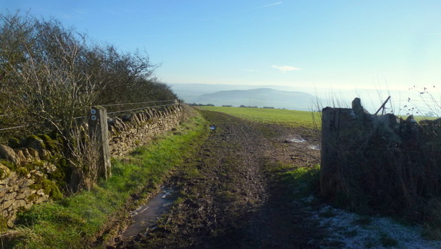
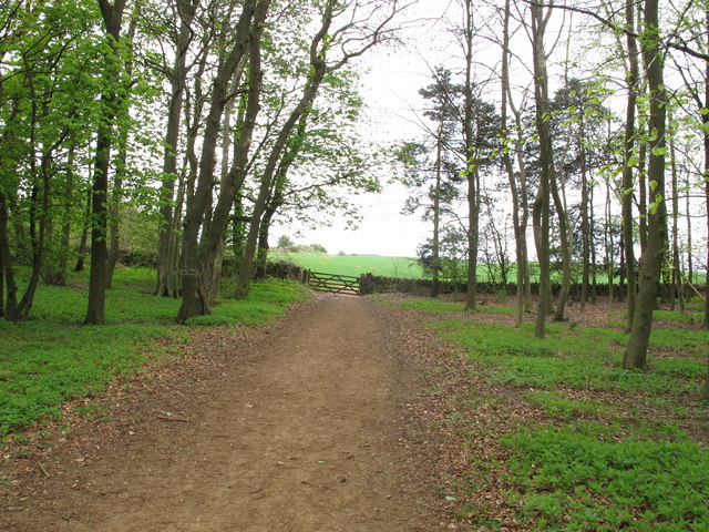
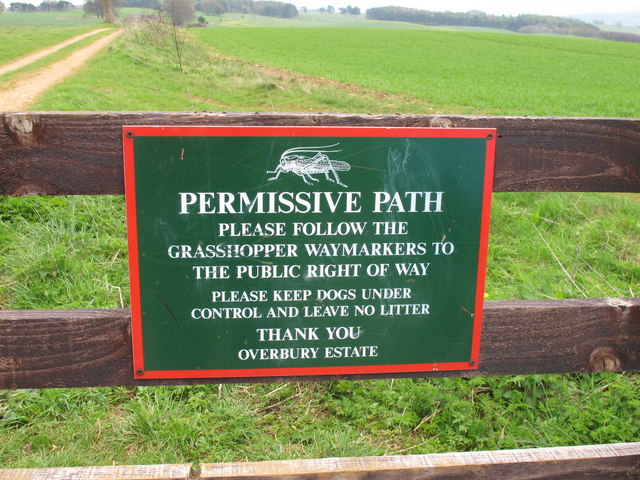
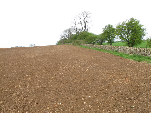
Overbury Images
Images are sourced within 2km of 52.050799/-2.0478 or Grid Reference SO9639. Thanks to Geograph Open Source API. All images are credited.


Overbury is located at Grid Ref: SO9639 (Lat: 52.050799, Lng: -2.0478)
Administrative County: Worcestershire
District: Wychavon
Police Authority: West Mercia
What 3 Words
///reissued.slug.trio. Near Eckington, Worcestershire
Nearby Locations
Related Wikis
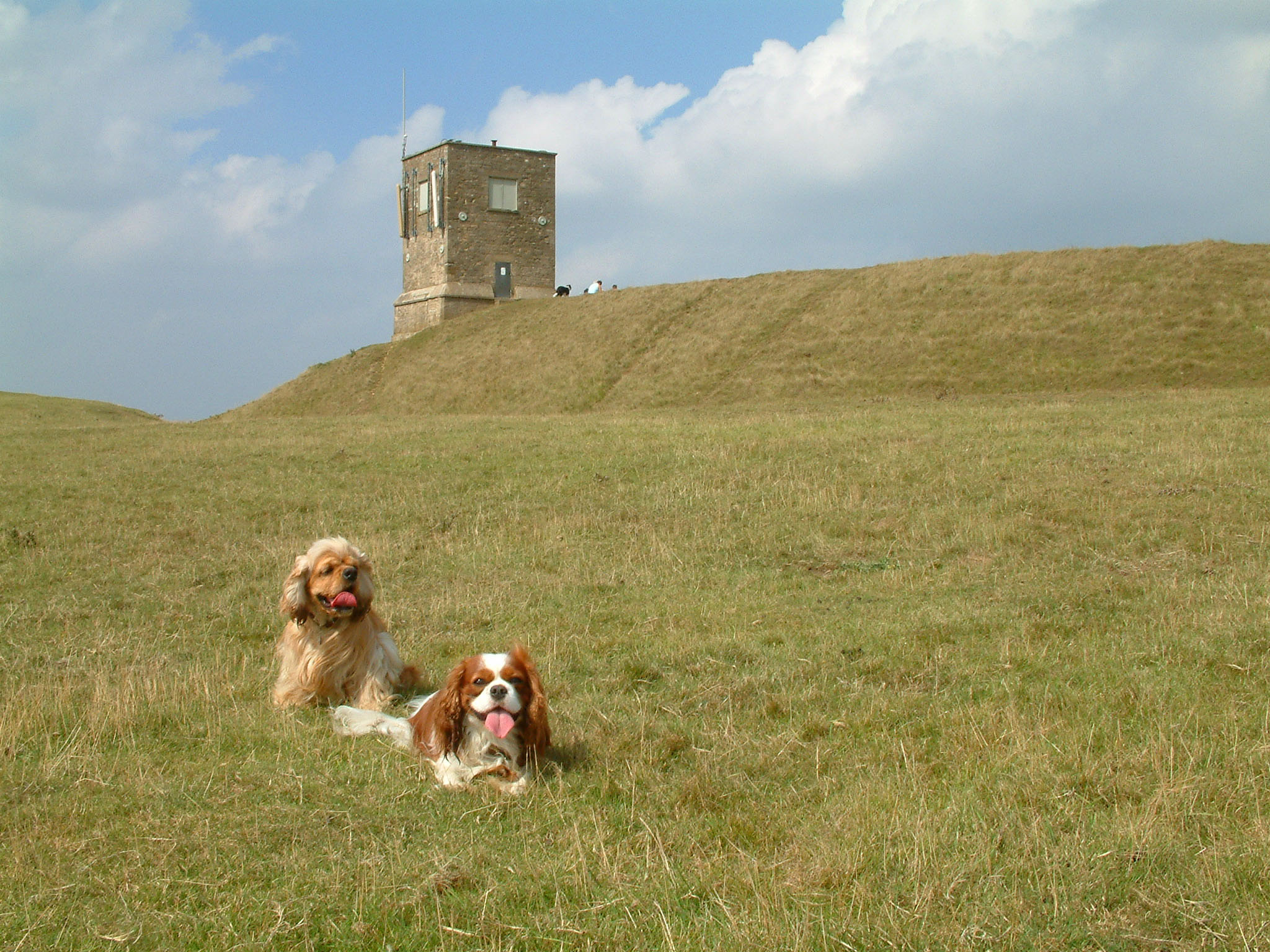
Bredon Hill
Bredon Hill is a hill in Worcestershire, England, south-west of Evesham in the Vale of Evesham. The summit of the hill is in the parish of Kemerton, and...

Elmley Castle (castle)
Elmley Castle was a late 11th-century earthwork and timber castle which received stone additions in the 12th and possibly 13th centuries, located 0.5 miles...

Overbury
Overbury is a village and civil parish in Worcestershire, England, midway between Evesham and Tewkesbury south of Bredon Hill. The manor of Overbury was...

Bredon Hill Hoard
The Bredon Hill Hoard (also known as the Bredon Hill Roman Coin Hoard) is a hoard of 3,784 debased silver Roman coins discovered in June 2011 by two metal...
Nearby Amenities
Located within 500m of 52.050799,-2.0478Have you been to Overbury?
Leave your review of Overbury below (or comments, questions and feedback).