Othery
Civil Parish in Somerset Sedgemoor
England
Othery

Othery is a civil parish located in the county of Somerset, England. Situated on the banks of the River Parrett, it is approximately 8 miles northeast of the town of Bridgwater. The parish covers an area of about 6 square miles and has a population of around 1,200 residents.
The village of Othery has a long history, with evidence of human activity dating back to the Iron Age. It was mentioned in the Domesday Book of 1086, where it was recorded as having a church, mill, and a population of around 100.
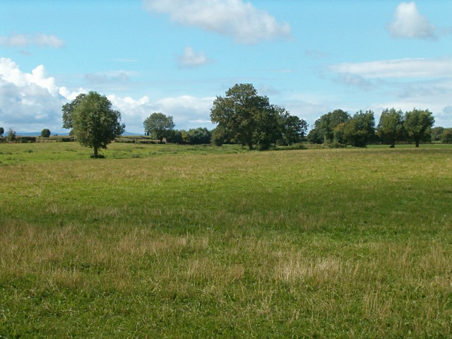
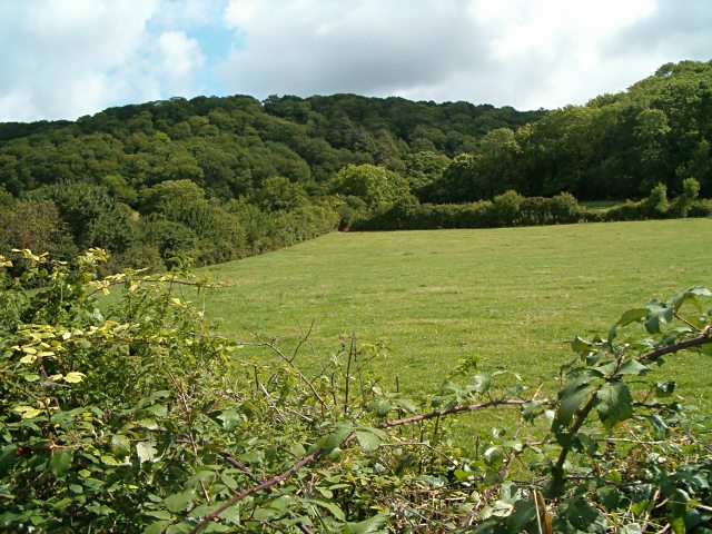
The landscape of Othery is predominantly agricultural, with fertile farmland surrounding the village. The area is known for its production of crops such as wheat, barley, and potatoes. The river also plays a significant role in the parish, providing opportunities for fishing and boating.
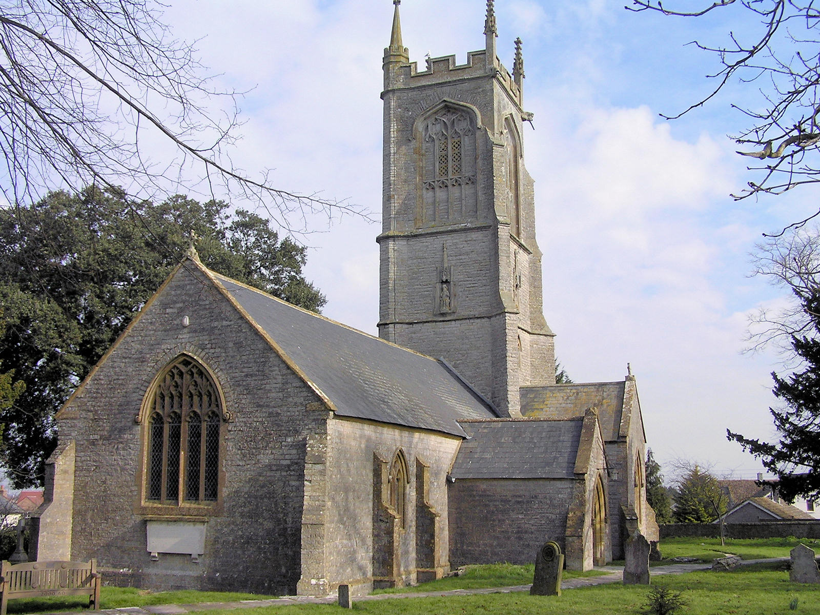
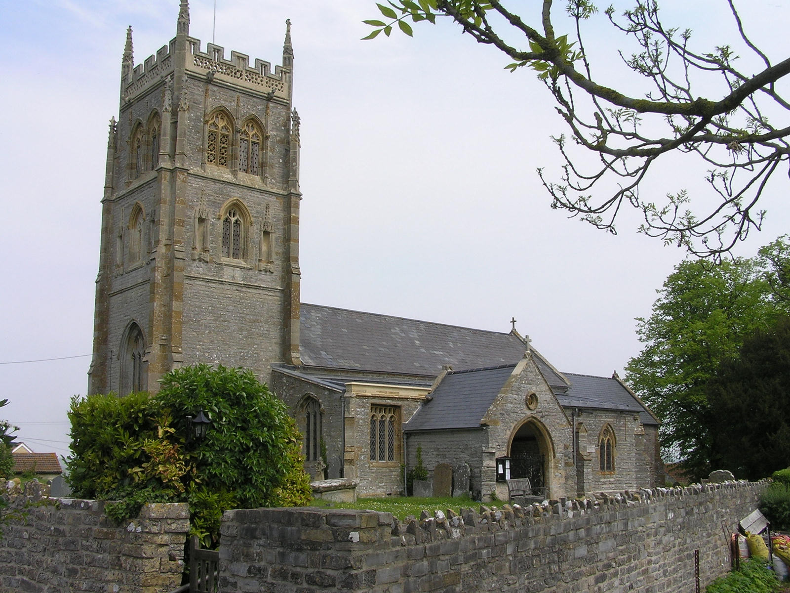
Othery is a close-knit community with a range of amenities. The village has a primary school, a village hall, a post office, and a pub. The All Saints' Church, built in the 15th century, is a notable architectural landmark in the area.
The parish holds various events and activities throughout the year, including the Othery Flower Show and the Othery Harvest Home Festival. These events bring the community together and showcase the local talent and produce.
Overall, Othery is a picturesque rural village with a rich history and a strong sense of community. Its idyllic location and range of amenities make it an attractive place to live or visit.
If you have any feedback on the listing, please let us know in the comments section below.
Othery Images
Images are sourced within 2km of 51.086327/-2.877775 or Grid Reference ST3832. Thanks to Geograph Open Source API. All images are credited.


Othery is located at Grid Ref: ST3832 (Lat: 51.086327, Lng: -2.877775)
Administrative County: Somerset
District: Sedgemoor
Police Authority: Avon and Somerset
What 3 Words
///plankton.aviation.weaved. Near Westonzoyland, Somerset
Nearby Locations
Related Wikis
Othery
The parish and village of Othery, established in 1515, sits on a detached extension of Sowy island on the Somerset Levels. It is 7 miles (11 km) east of...
Middlezoy
Middlezoy is a village and civil parish on the Somerset Levels in Somerset, England. Situated between the two other villages of Westonzoyland and Othery...
Greylake
Greylake (grid reference ST384336) is a 9.3 hectare geological Site of Special Scientific Interest near Middlezoy in Somerset, notified in 1987. This site...

King's Sedgemoor
King's Sedgemoor is a piece of rich animal habitat and farming land, that forms part of the Somerset Levels and Moors in South West England. The area of...

The Breeze (Bridgwater & West Somerset)
The Breeze (Bridgwater & West Somerset) formerly Quay West and Total Star Somerset was an Independent Local Radio station serving the Sedgemoor District...
Somerset
Somerset ( SUM-ər-sit, -set; archaically Somersetshire SUM-ər-sit-sheer, -set-, -shər) is a ceremonial county in South West England. It is bordered...
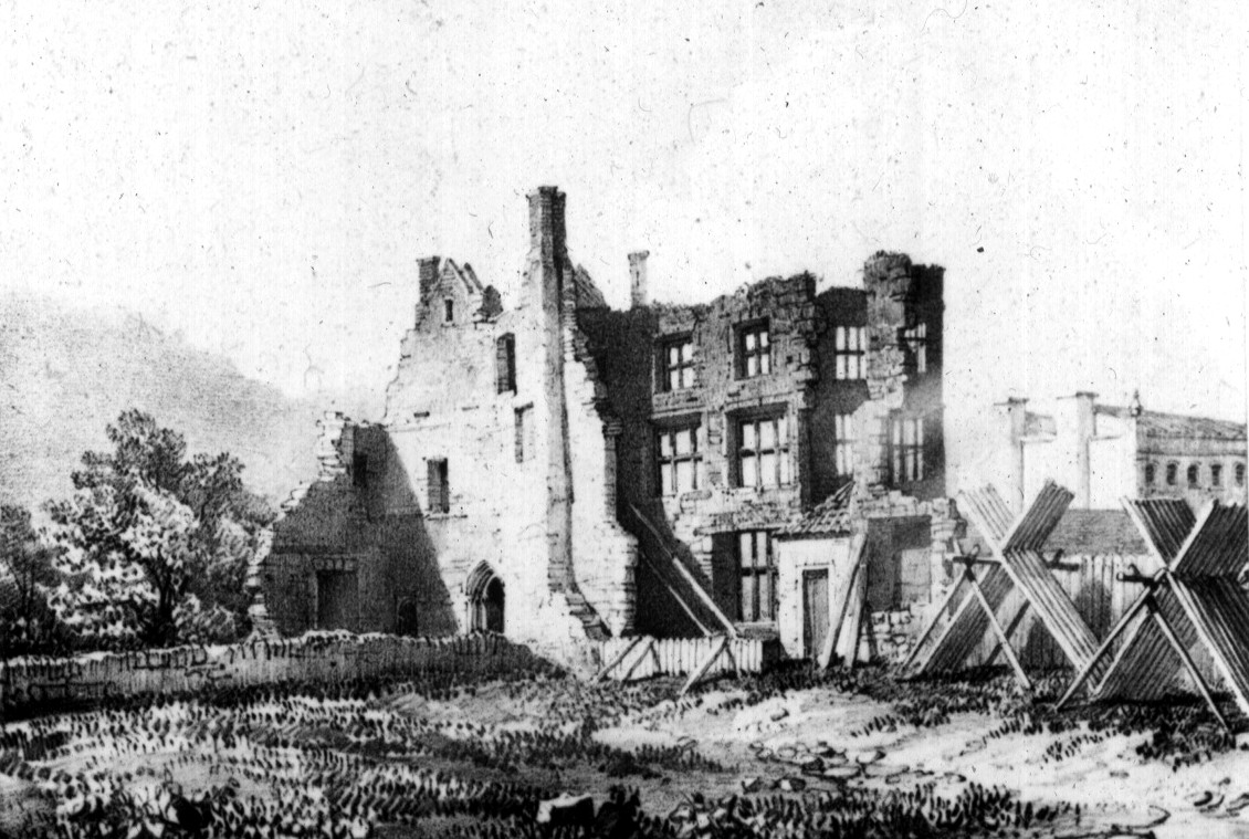
Siege of Bridgwater (1645)
The Siege of Bridgwater took place in July 1645, during the First English Civil War, when a Royalist garrison surrendered to a Parliamentarian force under...
Aller and Beer Woods
Aller and Beer Woods (grid reference ST404305) is a 56.9 hectares (141 acres) biological Site of Special Scientific Interest. off the A372 Othery to Langport...
Nearby Amenities
Located within 500m of 51.086327,-2.877775Have you been to Othery?
Leave your review of Othery below (or comments, questions and feedback).