Orgreave

Civil Parish in Yorkshire Rotherham

England

Orgreave

Woodhouse Station When I 'were a lad' there were two passenger and two goods lines passing through here, and it wasn't bright red! One of the goods lines terminates behind the station building on the left. Just down the line in the distance (looking north-west) was the end of the Sheffield - Manchester - Wath 1500V DC electrified system that ran through the now disused Woodhead Tunnel.
Woodhouse Station Credit: David Morris

Orgreave is a civil parish located in the metropolitan borough of Rotherham, South Yorkshire, England. Situated approximately 6 miles southeast of the town of Rotherham, Orgreave is a small and predominantly rural area covering an area of 1.75 square miles.

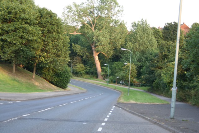
The parish is bordered by the communities of Treeton to the north, Ulley to the east, and Aston to the south. It is surrounded by picturesque countryside, with rolling hills and farmland dominating the landscape. The area is known for its natural beauty, attracting visitors who enjoy outdoor activities such as walking, cycling, and birdwatching.

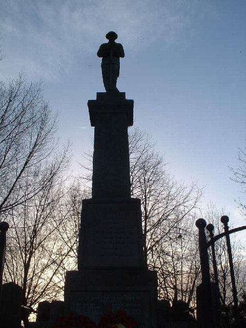
Historically, Orgreave was an important mining area, with several collieries operating in the vicinity. The most notable of these was the Orgreave Colliery, which was in operation from 1967 until its closure in 1981. The colliery played a significant role in the 1984-1985 miners' strike, as it was the site of a major confrontation between striking miners and the police, commonly referred to as the "Battle of Orgreave."

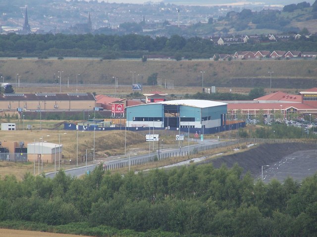
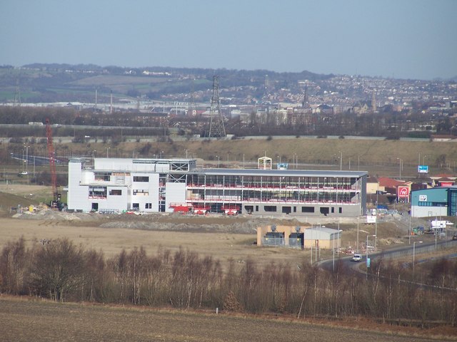
Today, the former colliery site has been redeveloped into an industrial estate, providing employment opportunities for the local community. The parish is also home to a number of residential properties, a primary school, and a village hall, which serves as a hub for various community events and activities.

Overall, Orgreave offers a peaceful and rural lifestyle, with easy access to both the amenities of nearby Rotherham and the tranquil beauty of the surrounding countryside.

If you have any feedback on the listing, please let us know in the comments section below.
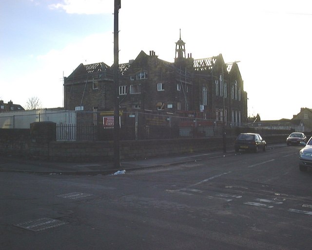
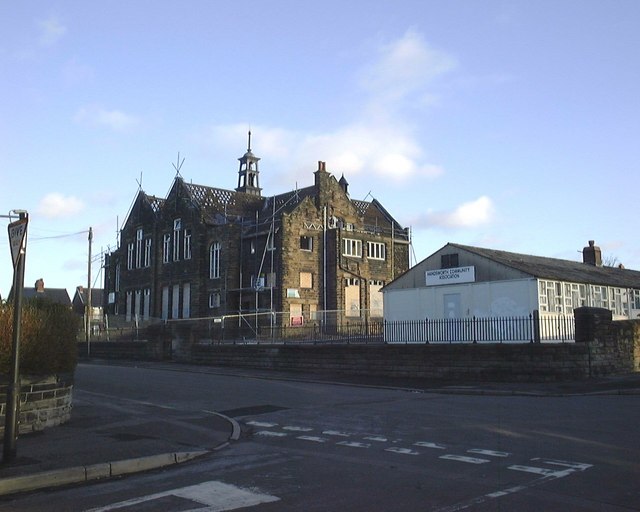
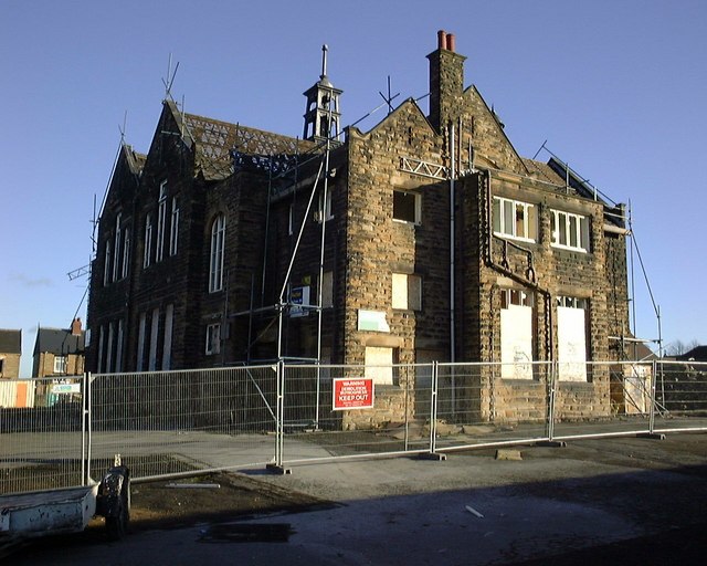
Orgreave Images

Images are sourced within 2km of 53.376213/-1.362049 or Grid Reference SK4286. Thanks to Geograph Open Source API. All images are credited.

Woodhouse Station When I 'were a lad' there were two passenger and two goods lines passing through here, and it wasn't bright red! One of the goods lines terminates behind the station building on the left. Just down the line in the distance (looking north-west) was the end of the Sheffield - Manchester - Wath 1500V DC electrified system that ran through the now disused Woodhead Tunnel.
Woodhouse Station
When I 'were a lad' there were two passenger and two goods lines passing through here, and it wasn't bright red! One of the goods lines terminates behind the station building on the left. Just down the line in the distance (looking north-west) was the end of the Sheffield - Manchester - Wath 1500V DC electrified system that ran through the now disused Woodhead Tunnel.
Retford Road, Handsworth The view down Retford Road, Handsworth. Formerly known as the A57 (now B6200) prior to completion of the bypass which now skirts Mosborough and Beighton before meeting up with the M1 at Junction 31, this road is still heavily used as one of the main arterial roads into Sheffield from Woodhouse, Aston and Worksop. Just down the road on this south-east view, the road splits right to head off to Woodhouse. The photo is taken close to the (apparent) location of a milepost showing 5 miles to Sheffield and 13 to Worksop (according to the 1905 maps).
Retford Road, Handsworth
The view down Retford Road, Handsworth. Formerly known as the A57 (now B6200) prior to completion of the bypass which now skirts Mosborough and Beighton before meeting up with the M1 at Junction 31, this road is still heavily used as one of the main arterial roads into Sheffield from Woodhouse, Aston and Worksop. Just down the road on this south-east view, the road splits right to head off to Woodhouse. The photo is taken close to the (apparent) location of a milepost showing 5 miles to Sheffield and 13 to Worksop (according to the 1905 maps).
Not the River Rother, Woodhouse Mill Although this looks like part of the River Rother, the course of the river is now a couple of hundred metres to the west. The course of the river was moved in the 1950's to alleviate frequent flooding problems. This bit was left behind to provide local factories with a source of water in the event of fire. The photo looks south-west towards Woodhouse. An easy walk from this square can be taken to Rother Valley Country Park.
Not the River Rother, Woodhouse Mill
Although this looks like part of the River Rother, the course of the river is now a couple of hundred metres to the west. The course of the river was moved in the 1950's to alleviate frequent flooding problems. This bit was left behind to provide local factories with a source of water in the event of fire. The photo looks south-west towards Woodhouse. An easy walk from this square can be taken to Rother Valley Country Park.
Catcliffe Flash, Rotherham <span class="nowrap"><a title="http://www.treetonweb.co.uk/gallery/catcliffe/index.htm" rel="nofollow ugc noopener" href="http://www.treetonweb.co.uk/gallery/catcliffe/index.htm">Link</a><img style="margin-left:2px;" alt="External link" title="External link - shift click to open in new window" src="https://s1.geograph.org.uk/img/external.png" width="10" height="10"/></span>
An open stretch of water formed as a result of subsidence and surrounded by a well-developed area of marshland and willow-carr, covering an area of 12ha. Beyond the carr grassland stretches to the river.


The LNR is immediately west of Treeton Lane , Catcliffe, which has a layby.
Catcliffe Flash, Rotherham
LinkExternal link An open stretch of water formed as a result of subsidence and surrounded by a well-developed area of marshland and willow-carr, covering an area of 12ha. Beyond the carr grassland stretches to the river. The LNR is immediately west of Treeton Lane , Catcliffe, which has a layby.
Catcliffe Glass Cone A well-known landmark at Catcliffe, the Glass Cone, a 70ft brick cone, was built in 1740 by William Fenney. One of the earliest surviving examples of its type and survives partly because it stayed in use until the early 20th century.
<span class="nowrap"><a title="http://www.treetonweb.co.uk/parish/catcliffe.htm" rel="nofollow ugc noopener" href="http://www.treetonweb.co.uk/parish/catcliffe.htm">Link</a><img style="margin-left:2px;" alt="External link" title="External link - shift click to open in new window" src="https://s1.geograph.org.uk/img/external.png" width="10" height="10"/></span>
Catcliffe Glass Cone
A well-known landmark at Catcliffe, the Glass Cone, a 70ft brick cone, was built in 1740 by William Fenney. One of the earliest surviving examples of its type and survives partly because it stayed in use until the early 20th century. LinkExternal link
War Memorial, Treeton The inscription: 
This Monument was erected by public subscription as an offering for victory and in loving memory of the men of Treeton who fell in the Great War, 1914 - 1918 They died that we might live

And another inscription: Also in ever grateful memory of those who fell in the war 1939 - 1945 
They would say Cherish Freedom

Weblink <span class="nowrap"><a title="http://www.treetonweb.co.uk" rel="nofollow ugc noopener" href="http://www.treetonweb.co.uk">Link</a><img style="margin-left:2px;" alt="External link" title="External link - shift click to open in new window" src="https://s1.geograph.org.uk/img/external.png" width="10" height="10"/></span>
War Memorial, Treeton
The inscription: This Monument was erected by public subscription as an offering for victory and in loving memory of the men of Treeton who fell in the Great War, 1914 - 1918 They died that we might live And another inscription: Also in ever grateful memory of those who fell in the war 1939 - 1945 They would say Cherish Freedom Weblink LinkExternal link
St Helen's Church The Church in Treeton is dedicated to St Helen.
St Helen's Church
The Church in Treeton is dedicated to St Helen.
Treeton Terrace This row of terraced houses in Treeton were probably built for the once nearby coal mine.
Treeton Terrace
This row of terraced houses in Treeton were probably built for the once nearby coal mine.
Handsworth School Taken at the Junction of St. Josephs Road and Fitzalan Road, Showing Handsworth School prior to its demolition in January 2004. The school was opened on 10th February  1902 and finally closed in 1995.
Handsworth School
Taken at the Junction of St. Josephs Road and Fitzalan Road, Showing Handsworth School prior to its demolition in January 2004. The school was opened on 10th February 1902 and finally closed in 1995.
Handsworth School Taken at the Junction of Hall Road and Fitzalan Road, Showing Handsworth School prior to its demolition in January 2004. The school opened on 10th February  1902 and finally closed in 1995.
Handsworth School
Taken at the Junction of Hall Road and Fitzalan Road, Showing Handsworth School prior to its demolition in January 2004. The school opened on 10th February 1902 and finally closed in 1995.
Handsworth School Taken from over the wall in Hall Road, Showing Handsworth School prior to its demolition in January 2004. The school opened on 10th February  1902 and finally closed in 1995.
Handsworth School
Taken from over the wall in Hall Road, Showing Handsworth School prior to its demolition in January 2004. The school opened on 10th February 1902 and finally closed in 1995.
Footbridge over railway at Handsworth Located about halfway between Woodhouse and Darnall Stations, serving the footpath  from the old Handsworth Colliery to Orgreave (Now B6066 High Field Spring). The Railway marking the boundary between Sheffield and Rotherham. In the distance can be seen the Sheffield Parkway, housing estates of Brinsworth and Canklow Wood.
Footbridge over railway at Handsworth
Located about halfway between Woodhouse and Darnall Stations, serving the footpath from the old Handsworth Colliery to Orgreave (Now B6066 High Field Spring). The Railway marking the boundary between Sheffield and Rotherham. In the distance can be seen the Sheffield Parkway, housing estates of Brinsworth and Canklow Wood.
Waverley Advanced Manufacturing Park Waverley Advanced Manufacturing Park under construction, B6066 High Field Spring to the right.
Waverley Advanced Manufacturing Park
Waverley Advanced Manufacturing Park under construction, B6066 High Field Spring to the right.
Highfield Spring B6066 B6066 High Field Spring heading toward the Waverley Advanced Manufacturing Park, with factory under construction for TWI, former open cast workings to the right and Morrison's (Catcliffe) in the distance.
Highfield Spring B6066
B6066 High Field Spring heading toward the Waverley Advanced Manufacturing Park, with factory under construction for TWI, former open cast workings to the right and Morrison's (Catcliffe) in the distance.
Waverley Advanced Manufacturing Park Waverley Advanced Manufacturing Park under construction, B6066 High Field Spring to the right, Rotherham in the distance.
Waverley Advanced Manufacturing Park
Waverley Advanced Manufacturing Park under construction, B6066 High Field Spring to the right, Rotherham in the distance.
South Yorkshire Fire Training School Formerly St John Fisher RC Secondary School back when I were a lad (1970's / 80s), this is now the training centre for South Yorkshire Fire and Rescue. The centre is on Beaver Hill Road between Handsworth and Woodhouse.
South Yorkshire Fire Training School
Formerly St John Fisher RC Secondary School back when I were a lad (1970's / 80s), this is now the training centre for South Yorkshire Fire and Rescue. The centre is on Beaver Hill Road between Handsworth and Woodhouse.
Beaver Hill Road, Woodhouse From outside the fire service training centre <a href="https://www.geograph.org.uk/photo/193087">SK4185 : South Yorkshire Fire Training School</a>, this image looks down Beaver Hill Road towards Woodhouse. In the bottom, just visible is the bridge crossing Shirtcliff Brook.
Beaver Hill Road, Woodhouse
From outside the fire service training centre SK4185 : South Yorkshire Fire Training School, this image looks down Beaver Hill Road towards Woodhouse. In the bottom, just visible is the bridge crossing Shirtcliff Brook.
Catcliffe Glass Cone These are rare industrial monuments. I've already posted the one at Stourbridge.
Catcliffe Glass Cone
These are rare industrial monuments. I've already posted the one at Stourbridge.
Show me another place!

Orgreave is located at Grid Ref: SK4286 (Lat: 53.376213, Lng: -1.362049)

Division: West Riding

Administrative County: South Yorkshire

District: Rotherham

Police Authority: South Yorkshire

What 3 Words

///senior.remote.sticks. Near Orgreave, South Yorkshire

Nearby Locations

Orgreave

Related Wikis

Orgreave Colliery

Orgreave Colliery was a coal mine situated adjacent to the main line of the Manchester, Sheffield & Lincolnshire Railway about 5 miles (8 km) east of Sheffield...

Orgreave Colliery platform

Orgreave Colliery platform was a workman's halt built to serve the miners working at Orgreave Colliery in South Yorkshire, England. These workmen's trains...

Rotherwood exchange sidings

Rotherwood exchange sidings were set at the eastern extremity of the Manchester-Sheffield-Wath electric railway between Orgreave Lane and Retford Road...

Battle of Orgreave

The Battle of Orgreave was a violent confrontation on 18 June 1984 between pickets and officers of the South Yorkshire Police (SYP) and other police forces...

Nearby Amenities

Located within 500m of 53.376213,-1.362049
Orgreave
Tourism: viewpoint
Lat/Long: 53.3765299/-1.3680171
Bench
Backrest: yes
Lat/Long: 53.3798598/-1.3607275
Artwork Type: sculpture
Tourism: artwork
Lat/Long: 53.3770726/-1.366878
Waste Basket
Waste: dog_excrement
Lat/Long: 53.3756024/-1.3692878
Ford: yes
Lat/Long: 53.3748663/-1.3569341
The data included in this document is from www.openstreetmap.org. The data is made available under ODbL.

Have you been to Orgreave?

Leave your review of Orgreave below (or comments, questions and feedback).