Brownber

Settlement in Westmorland Eden

England

Brownber

Sheep in field near High Dubbs A farm and a field to the west of Newbiggin-on-Lune.
The northern slopes of the Howgill Fells rise in the distance.
Sheep in field near High Dubbs Credit: Trevor Littlewood

Brownber is a small hamlet located in the county of Westmorland, in the northwest region of England. Situated in the Eden Valley, it lies within the district of Eden and is part of the civil parish of Orton.

With a population of around 100 residents, Brownber is known for its picturesque setting amidst the stunning natural beauty of the surrounding countryside. The hamlet is nestled in the foothills of the Pennines, offering breathtaking views and a tranquil atmosphere to its inhabitants and visitors alike.

Despite its small size, Brownber has a rich history dating back centuries. It was first mentioned in historical records in the 13th century and has since evolved into a close-knit community. The settlement predominantly consists of traditional stone-built houses, some of which have been converted into charming bed and breakfast establishments, catering to tourists looking to explore the area.

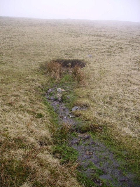
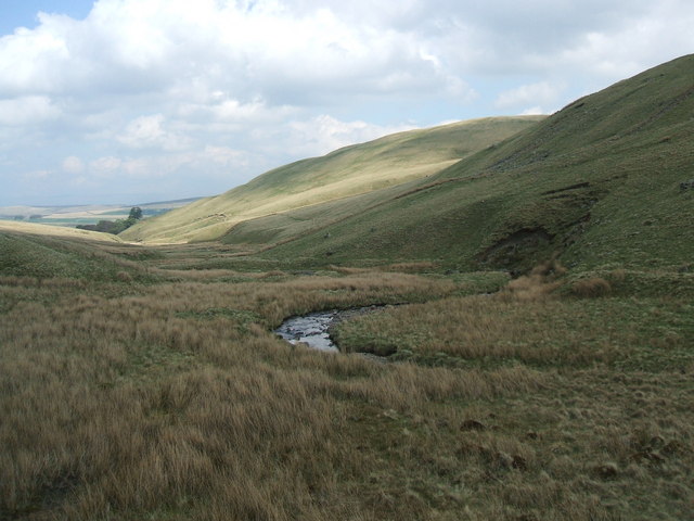
The hamlet enjoys a quiet and rural lifestyle, with farming being a significant occupation for many residents. The fertile land in the region allows for the cultivation of crops and rearing of livestock. This agricultural heritage is reflected in the landscape, with rolling green hills and fields stretching as far as the eye can see.

For those seeking outdoor activities, Brownber offers ample opportunities. The nearby Howgill Fells provide excellent hiking and walking trails, while the River Lune offers fishing and boating opportunities. The area is also popular with birdwatchers and wildlife enthusiasts, as it is home to a variety of species.

In conclusion, Brownber is a small but idyllic hamlet in Westmorland, offering a peaceful and picturesque setting for residents and visitors alike. Its rich history, stunning natural surroundings, and agricultural heritage make it a charming destination for those seeking a rural escape.

If you have any feedback on the listing, please let us know in the comments section below.

Brownber Images

Images are sourced within 2km of 54.446746/-2.457203 or Grid Reference NY7005. Thanks to Geograph Open Source API. All images are credited.

Sheep in field near High Dubbs A farm and a field to the west of Newbiggin-on-Lune.
The northern slopes of the Howgill Fells rise in the distance.
Sheep in field near High Dubbs
A farm and a field to the west of Newbiggin-on-Lune. The northern slopes of the Howgill Fells rise in the distance.
Road junction above Wath The junction is of minor roads in the valley of the River Lune, west of Newbiggin-on-Lune.
The Howgill Fells are rising at the left side of the image.
Road junction above Wath
The junction is of minor roads in the valley of the River Lune, west of Newbiggin-on-Lune. The Howgill Fells are rising at the left side of the image.
Entrance to Lane Farm Ordnance Survey records indicate that a benchmark levelled at 272.897m above Newlyn Datum was verified in 1953 a gatepost at the entrance, now remodelled with loss of the gatepost
Entrance to Lane Farm
Ordnance Survey records indicate that a benchmark levelled at 272.897m above Newlyn Datum was verified in 1953 a gatepost at the entrance, now remodelled with loss of the gatepost
Stream at Church Gate bridge south of Tranmoor
Sheep near Newbiggin-on-Lune Looking across upper Lunesdale to the Howgill Fells.
Sheep near Newbiggin-on-Lune
Looking across upper Lunesdale to the Howgill Fells.
Entrance to Moss holiday cottages From A685
Entrance to Moss holiday cottages
From A685
Sheep lick by the bridleway to Gars When I appeared in the gateway these sheep ran off but the lure of the minerals and nutrients soon lured them back. At this time of year they really need extra nutrition especially as most of the ewes will be pregnant again by now.
Sheep lick by the bridleway to Gars
When I appeared in the gateway these sheep ran off but the lure of the minerals and nutrients soon lured them back. At this time of year they really need extra nutrition especially as most of the ewes will be pregnant again by now.
Routemaster On A Road Run A view of the Clydeside Scottish AEC Routemaster whilst on a road run at the close of the first day of the 2013 rally.
Routemaster On A Road Run
A view of the Clydeside Scottish AEC Routemaster whilst on a road run at the close of the first day of the 2013 rally.
Bristol Lodekka On A Road Run The 1959 Lodekka, a convertible open/closed top double decker, is operated by Cumbria Classic Coaches.
Bristol Lodekka On A Road Run
The 1959 Lodekka, a convertible open/closed top double decker, is operated by Cumbria Classic Coaches.
'Green Goddess' On A Road Run A 1957 Bedford RHLZ 'Green Goddess' Fire Engine, ex-Home Office reserve.
'Green Goddess' On A Road Run
A 1957 Bedford RHLZ 'Green Goddess' Fire Engine, ex-Home Office reserve.
Open range Warning by a cattle grid at the edge of a vast unenclosed area of grassland. The cattle were not out at time of visit.
Open range
Warning by a cattle grid at the edge of a vast unenclosed area of grassland. The cattle were not out at time of visit.
Ravenstonedale Moor A fence runs across the moor, one of very few in the area.
Ravenstonedale Moor
A fence runs across the moor, one of very few in the area.
Ravenstonedale Moor The road has climbed out of Lunedale. There is a lot of snow on the Howgill Fells.
Ravenstonedale Moor
The road has climbed out of Lunedale. There is a lot of snow on the Howgill Fells.
High Lane Climbing out of Newbiggin. I had missed the bus by a day. <a href="https://www.geograph.org.uk/photo/3392666">NY6905 : Routemaster On A Road Run</a> 
There is a gully from a previous road alignment.
High Lane
Climbing out of Newbiggin. I had missed the bus by a day. NY6905 : Routemaster On A Road Run There is a gully from a previous road alignment.
Common, High Lane A tongue of moorland and rough grazing descends to Lunedale.
Common, High Lane
A tongue of moorland and rough grazing descends to Lunedale.
Stone barn, Rigg End A Dales staple.
Stone barn, Rigg End
A Dales staple.
Road junction, Wath
Road junction, Wath
Hill Top Farm This minor lane runs to Newbiggin-on-Lune.
Hill Top Farm
This minor lane runs to Newbiggin-on-Lune.
Show me another place!

Brownber is located at Grid Ref: NY7005 (Lat: 54.446746, Lng: -2.457203)

Administrative County: Cumbria

District: Eden

Police Authority: Cumbria

What 3 Words

///thrusters.supplied.downcast. Near Kirkby Stephen, Cumbria

Related Wikis

Ravenstonedale railway station

Ravenstonedale railway station was situated on the South Durham & Lancashire Union Railway (SD&LUR) between Tebay and Kirkby Stephen East. It served the...

Newbiggin-on-Lune

Newbiggin-on-Lune is a village in the Eden district of Cumbria, England. Historically in Westmorland it is about 4 miles (6.4 km) south west of Kirkby...

Brownber

Brownber is a hamlet surrounding Brownber Hall near Newbiggin-on-Lune in Cumbria, England.

Sandwath Beck

Sandwath Beck is a river running through Cumbria in England. The beck rises beneath Green Bell in Ravenstonedale as Dale Gill, changing its designation...

Weasdale Beck

Weasdale Beck is a stream in Cumbria, England. The Beck rises in Ravenstonedale and drains Leathgill Bridge on Randygill Top and Great Swindale, below...

Ravenstonedale Priory

Ravenstonedale Priory was a Gilbertine priory in Cumbria, England. It was founded in the reign of Henry II, when Torphin, son of Robert, son of Copsus...

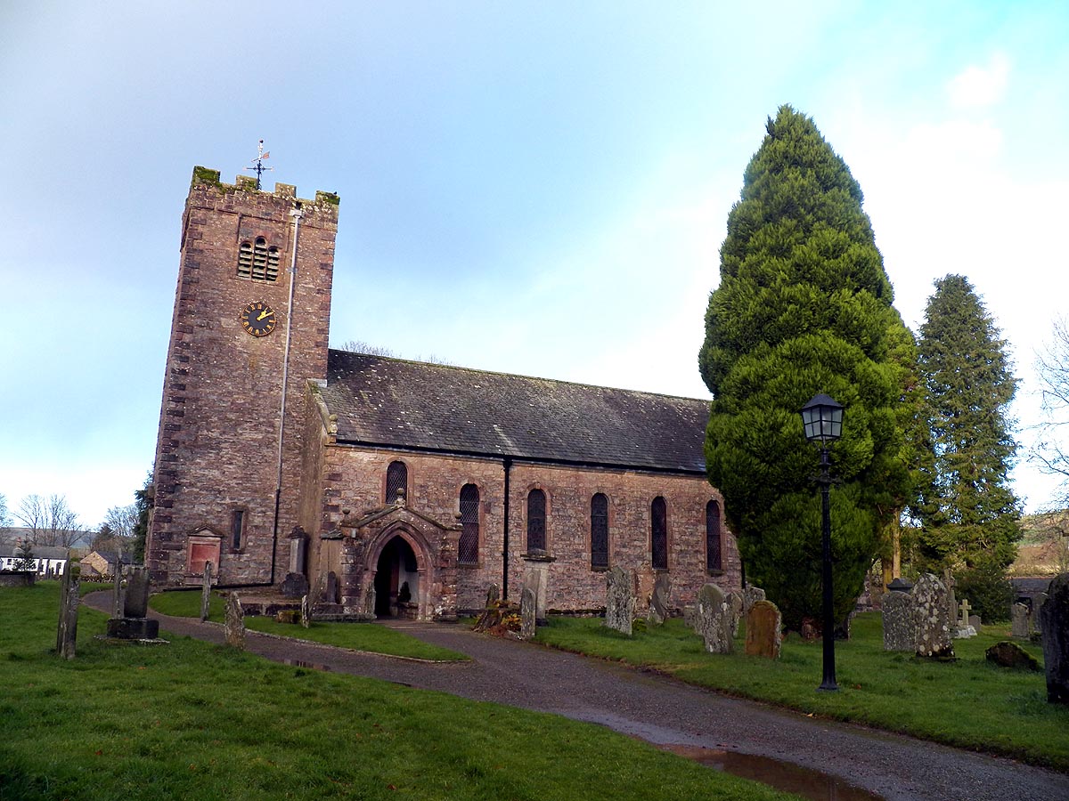
St Oswald's Church, Ravenstonedale

St Oswald's Church is in the village of Ravenstonedale, Cumbria, England. It is an active Anglican parish church in the deanery of Appleby, the archdeaconry...

Weasdale

Weasdale is a small hamlet in Cumbria, England, 850 feet (260 m) above sea-level on the northern flanks of the Howgill Fells. It is located approximately...

Nearby Amenities

Located within 500m of 54.446746,-2.457203
Barrier: cattle_grid
Bicycle: yes
Foot: yes
Lat/Long: 54.4455343/-2.4623746
Barrier: stile
Material: stone
Source: survey;gps
Stile: stepover
Lat/Long: 54.4469534/-2.4551267
Barrier: kissing_gate
Source: survey;gps
Lat/Long: 54.4442338/-2.4559283
Barrier: stile
Material: wood
Source: survey;gps
Stile: ladder
Lat/Long: 54.4458691/-2.4559696
Barrier: stile
Material: stone
Source: survey;gps
Stile: stepover
Lat/Long: 54.4427356/-2.4559079
Brownber
Place: hamlet
Wikidata: Q4976456
Lat/Long: 54.4461637/-2.455895
Give Way
Direction: forward
Lat/Long: 54.4424454/-2.4589142
Grit Bin
Lat/Long: 54.4424804/-2.4590746
Bench
Backrest: yes
Lat/Long: 54.4425211/-2.4594185
Grit Bin
Lat/Long: 54.4431156/-2.4597165
Power: pole
Lat/Long: 54.4452155/-2.4619219
Power: pole
Lat/Long: 54.4445978/-2.4628097
Power: pole
Lat/Long: 54.444863/-2.4623658
Power: pole
Lat/Long: 54.4452264/-2.4635473
Power: pole
Lat/Long: 54.4478902/-2.4624583
Power: pole
Lat/Long: 54.4475923/-2.4637082
Power: pole
Lat/Long: 54.4501967/-2.4527648
Power: pole
Lat/Long: 54.4498115/-2.4543554
Power: pole
Lat/Long: 54.4494746/-2.4557421
Power: pole
Lat/Long: 54.4491175/-2.45722
Power: pole
Lat/Long: 54.4488087/-2.4586228
Power: pole
Lat/Long: 54.4485452/-2.4597788
Power: pole
Lat/Long: 54.4482403/-2.4609831
Power: pole
Lat/Long: 54.4457127/-2.4557326
Power: pole
Lat/Long: 54.4449716/-2.4552343
Power: pole
Lat/Long: 54.4442612/-2.45476
Power: pole
Lat/Long: 54.4433641/-2.4541947
Power: pole
Lat/Long: 54.4424503/-2.4586216
Power: pole
Lat/Long: 54.4424169/-2.4570501
Power: pole
Lat/Long: 54.4424043/-2.4553709
The data included in this document is from www.openstreetmap.org. The data is made available under ODbL.

Have you been to Brownber?

Leave your review of Brownber below (or comments, questions and feedback).