Northbourne

Civil Parish in Kent Dover

England

Northbourne

Betteshanger, St Mary the Virgin
Betteshanger, St Mary the Virgin Credit: Dave Kelly

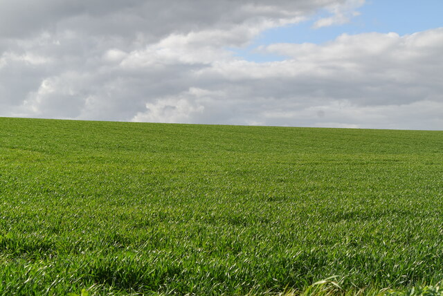
Northbourne is a civil parish located in the county of Kent, England. It is situated approximately 4 miles northeast of the town of Deal and about 10 miles east of the city of Canterbury. The village is nestled in the heart of the Kent Downs, an Area of Outstanding Natural Beauty.

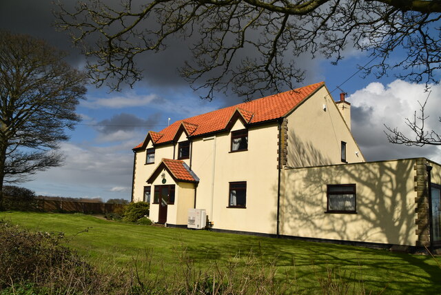
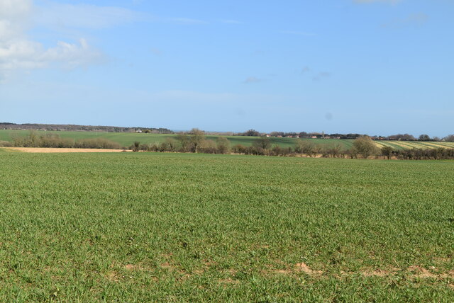
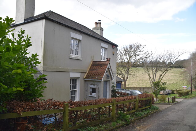
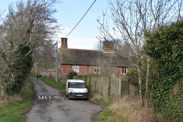
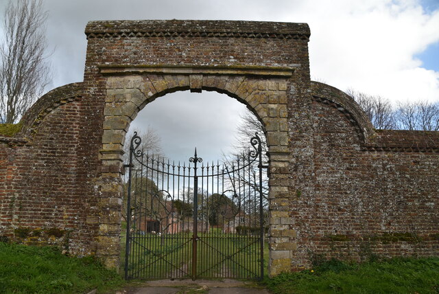
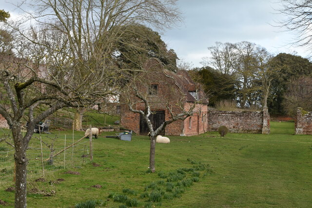
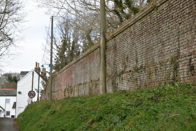
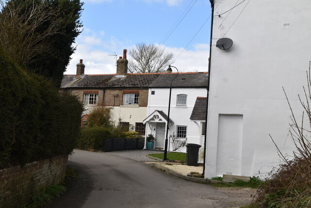
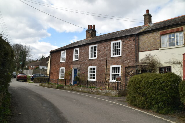
The parish of Northbourne covers an area of around 7.5 square miles and is home to a population of approximately 1,200 residents. The village itself has a charming and picturesque character, with a mix of traditional brick and flint cottages, as well as more modern houses.

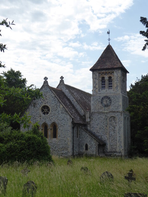
Northbourne is known for its close-knit community and strong sense of local pride. The village has a primary school, a village hall, and a church, St. Augustine's, which dates back to the 12th century. The church is a prominent landmark and serves as a focal point for local residents.

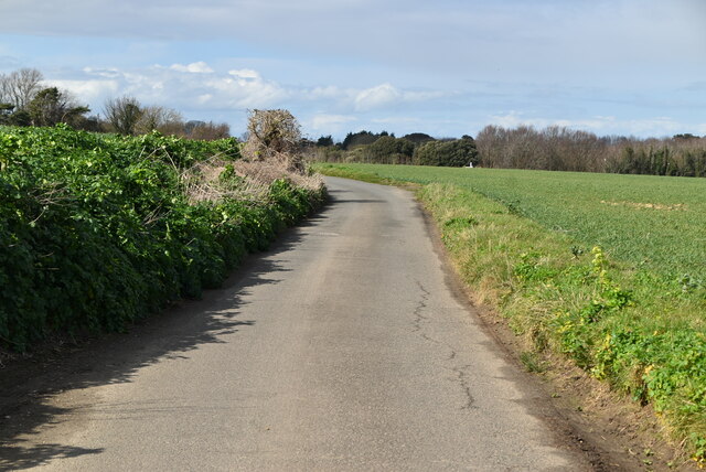
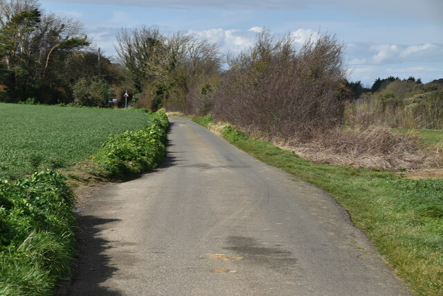
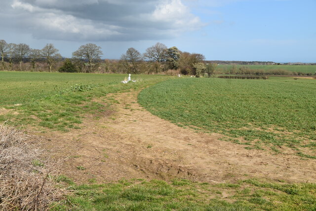
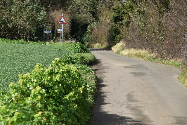
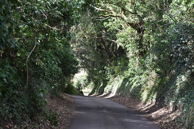
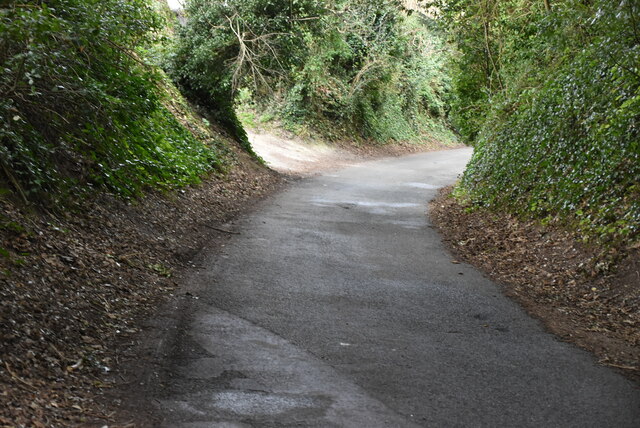
Surrounded by beautiful countryside, Northbourne offers ample opportunities for outdoor activities such as walking, hiking, and cycling. The village is also conveniently located close to the coast, with the popular seaside towns of Deal and Walmer just a short distance away.

Overall, Northbourne is a tranquil and idyllic village that offers a peaceful rural lifestyle, while still providing easy access to nearby towns and amenities. Its natural beauty, strong community spirit, and historic charm make it a desirable place to live or visit in the county of Kent.

If you have any feedback on the listing, please let us know in the comments section below.

Northbourne Images

Images are sourced within 2km of 51.227075/1.332249 or Grid Reference TR3252. Thanks to Geograph Open Source API. All images are credited.

Betteshanger, St Mary the Virgin
Arable field
Arable field
Sparrow Court
Sparrow Court
Northbourne Rd
Northbourne Rd
Kent farmland
Kent farmland
Northbourne Rd
Northbourne Rd
Remnant hedgeline
Remnant hedgeline
Northbourne Rd
Northbourne Rd
Northbourne Hill
Northbourne Hill
Northbourne Rd
Northbourne Rd
Vale Cottage
Vale Cottage
Abbey Gardens Cottage
Gateway, Northbourne Court
Stableblock, Northbourne Court Grade II listed.
Stableblock, Northbourne Court
Grade II listed.
Wall of Northbourne Court
Northbourne A small East Kent village.
Wikipedia: <span class="nowrap"><a title="https://en.wikipedia.org/wiki/Northbourne,_Kent" rel="nofollow ugc noopener" href="https://en.wikipedia.org/wiki/Northbourne,_Kent">Link</a><img style="margin-left:2px;" alt="External link" title="External link - shift click to open in new window" src="https://s1.geograph.org.uk/img/external.png" width="10" height="10"/></span>
Northbourne
A small East Kent village. Wikipedia: LinkExternal link
Old Post House A small East Kent village.
Wikipedia: <span class="nowrap"><a title="https://en.wikipedia.org/wiki/Northbourne,_Kent" rel="nofollow ugc noopener" href="https://en.wikipedia.org/wiki/Northbourne,_Kent">Link</a><img style="margin-left:2px;" alt="External link" title="External link - shift click to open in new window" src="https://s1.geograph.org.uk/img/external.png" width="10" height="10"/></span>
Old Post House
A small East Kent village. Wikipedia: LinkExternal link
Bonner View A small East Kent village.
Wikipedia: <span class="nowrap"><a title="https://en.wikipedia.org/wiki/Northbourne,_Kent" rel="nofollow ugc noopener" href="https://en.wikipedia.org/wiki/Northbourne,_Kent">Link</a><img style="margin-left:2px;" alt="External link" title="External link - shift click to open in new window" src="https://s1.geograph.org.uk/img/external.png" width="10" height="10"/></span>
Bonner View
A small East Kent village. Wikipedia: LinkExternal link
Show me another place!

Northbourne is located at Grid Ref: TR3252 (Lat: 51.227075, Lng: 1.332249)

Administrative County: Kent

District: Dover

Police Authority: Kent

What 3 Words

///fidelity.user.hips. Near Eastry, Kent

Related Wikis

New Mill, Northbourne

New Mill is a Grade II listed smock mill in Northbourne, Kent, England that was built in 1848 and which has been converted to residential accommodation...

Betteshanger

Betteshanger is a village and former civil parish. now in the parish of Northbourne, in the Dover district, in east Kent, UK, near Deal. It gave its name...

Northbourne, Kent

Northbourne is a village and civil parish near Deal in Kent, England. It has a public house, The Hare and Hounds, a primary school and is the home of the...

Marley, Dover

Marley is a hamlet near the town of Deal in Kent, England. It is located about three miles (4.8 km) west of the town, on a minor road off the A258 road...

Nearby Amenities

Located within 500m of 51.227075,1.332249
Bus Stop
Ham Crossroads
Fixme: Can somebody confirm is there is a bus stop here?
Flag: no
Naptan AtcoCode: 240097236
Naptan Bearing: SE
Naptan BusStopType: CUS
Naptan CommonName: Ham Crossroads
Naptan Indicator: SE-bound
Naptan Landmark: Ham Crossroads
Naptan NaptanCode: kntgpaja
Naptan PlusbusZoneRef: DEAL
Naptan Street: Northbourne Road
Naptan Verified: no
Public Transport: platform
Ref: kntgpaja
Source: naptan_import
Source Date: 2018-07-03T14:01:00
Lat/Long: 51.2291594/1.3301427
Bus Stop
Ham Crossroads
Naptan AtcoCode: 240097238
Naptan Bearing: NW
Naptan CommonName: Ham Crossroads
Naptan Indicator: NW-bound
Naptan Landmark: Ham Crossroads
Naptan NaptanCode: kntgpagw
Naptan PlusbusZoneRef: DEAL
Naptan Street: Northbourne Road
Naptan Verified: no
Public Transport: platform
Ref: kntgpagw
Source: naptan_import
Source Date: 2018-07-03T14:00:00
Lat/Long: 51.229026/1.3300901
Bus Stop
The Mount
Fixme: Can somebody confirm is there is a bus stop here?
Flag: no
Naptan AtcoCode: 2400A045820A
Naptan Bearing: NE
Naptan BusStopType: CUS
Naptan CommonName: The Mount
Naptan Indicator: NE-bound
Naptan Landmark: Northbourne Road
Naptan NaptanCode: kntdwjgd
Naptan PlusbusZoneRef: DEAL
Naptan Street: Broad Lane
Naptan Verified: no
Public Transport: platform
Ref: kntdwjgd
Source: naptan_import
Source Date: 2018-07-03T14:07:00
Lat/Long: 51.2271354/1.3351968
Bus Stop
The Mount
Fixme: Can somebody confirm is there is a bus stop here?
Flag: no
Naptan AtcoCode: 2400A045830A
Naptan Bearing: SW
Naptan BusStopType: CUS
Naptan CommonName: The Mount
Naptan Indicator: SW-bound
Naptan Landmark: Northbourne Road
Naptan NaptanCode: kntdwjgj
Naptan PlusbusZoneRef: DEAL
Naptan Street: Broad Lane
Naptan Verified: no
Public Transport: platform
Ref: kntdwjgj
Source: naptan_import
Source Date: 2018-07-03T14:08:00
Lat/Long: 51.2270072/1.3352735
Post Box
Brand: Royal Mail
Brand Wikidata: Q638098
Collection Times: Mo-Fr 09:00; Sa 07:00
Operator: Royal Mail
Operator Wikidata: Q638098
Post Box Mounting: metal_post
Post Box Type: lamp
Ref: CT14 121
Royal Cypher: EIIR
Royal Cypher Wikidata: Q33102113
Lat/Long: 51.2291042/1.3302612
Power: pole
Lat/Long: 51.2313541/1.3341013
Power: pole
Lat/Long: 51.2310568/1.3354799
Power: pole
Lat/Long: 51.2240707/1.3372768
Power: pole
Lat/Long: 51.2235557/1.3342258
Power: pole
Lat/Long: 51.2229975/1.3326027
Power: pole
Lat/Long: 51.2247077/1.3375556
Power: pole
Lat/Long: 51.2232038/1.3348007
Power: pole
Lat/Long: 51.2236467/1.3360441
Power: pole
Lat/Long: 51.2241336/1.3359094
Power: pole
Lat/Long: 51.2227726/1.3335815
The data included in this document is from www.openstreetmap.org. The data is made available under ODbL.

Have you been to Northbourne?

Leave your review of Northbourne below (or comments, questions and feedback).