Brown Edge
Settlement in Staffordshire Staffordshire Moorlands
England
Brown Edge
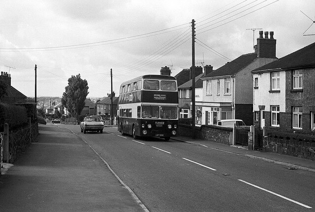
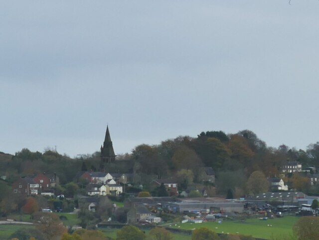
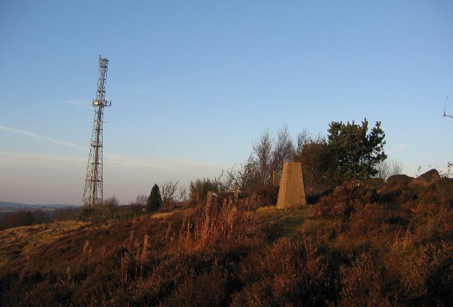
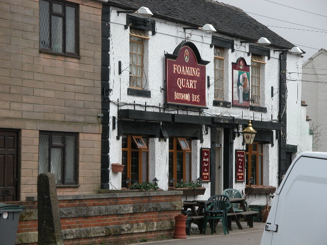
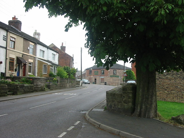
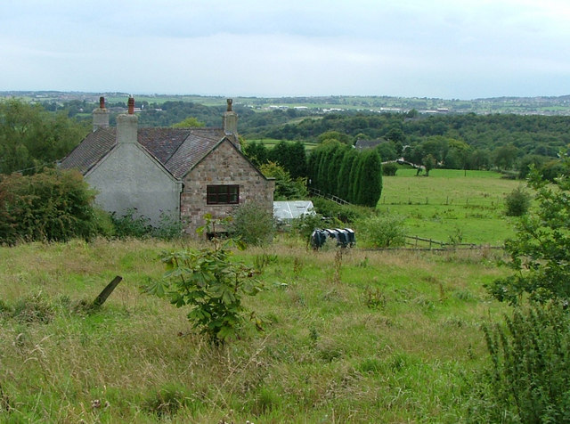
Brown Edge is a small village located in Staffordshire, England. It is situated on a hilltop, offering stunning views of the surrounding countryside. The village is known for its quaint charm and traditional architecture, with many of the buildings dating back to the 18th and 19th centuries.
Brown Edge is a close-knit community with a population of around 2,000 residents. The village has a strong sense of community spirit, with a range of local amenities including a primary school, village hall, and several shops and pubs. There are also plenty of opportunities for outdoor recreation, with several walking and cycling routes in the surrounding area.
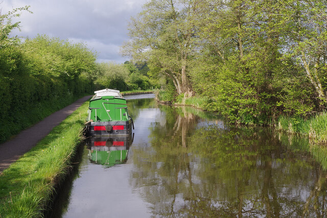
The village is well-connected by road, with easy access to the nearby towns of Stoke-on-Trent and Leek. It is also within close proximity to the Peak District National Park, making it an ideal location for those who enjoy outdoor activities such as hiking, cycling, and birdwatching.
Overall, Brown Edge is a charming village with a strong sense of community and plenty of opportunities for outdoor recreation, making it a popular choice for both residents and visitors alike.
If you have any feedback on the listing, please let us know in the comments section below.
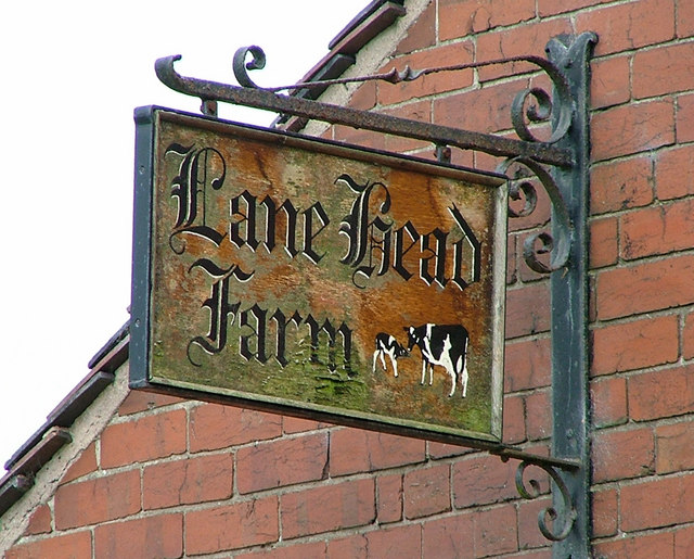
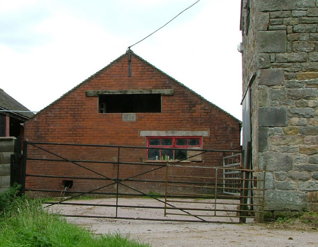
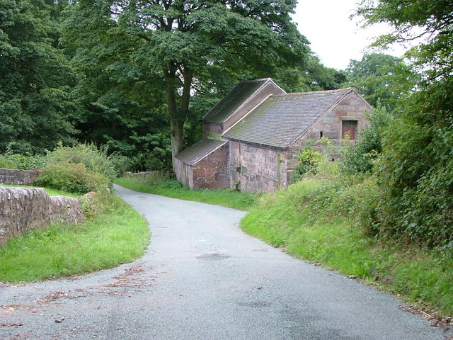
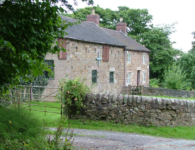
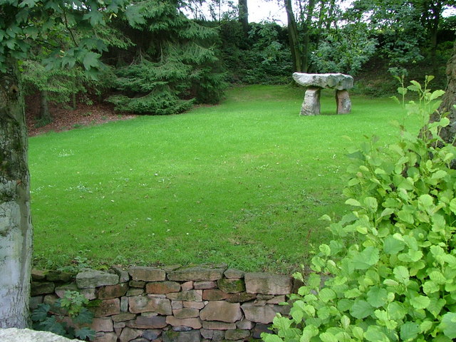
Brown Edge Images
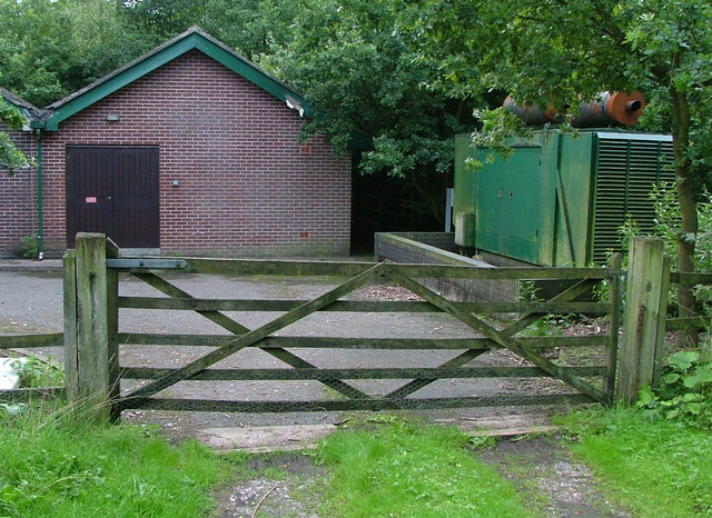
Images are sourced within 2km of 53.081947/-2.14448 or Grid Reference SJ9053. Thanks to Geograph Open Source API. All images are credited.

Brown Edge is located at Grid Ref: SJ9053 (Lat: 53.081947, Lng: -2.14448)
Administrative County: Staffordshire
District: Staffordshire Moorlands
Police Authority: Staffordshire
What 3 Words
///vivid.daisy.refuse. Near Biddulph, Staffordshire
Nearby Locations
Related Wikis
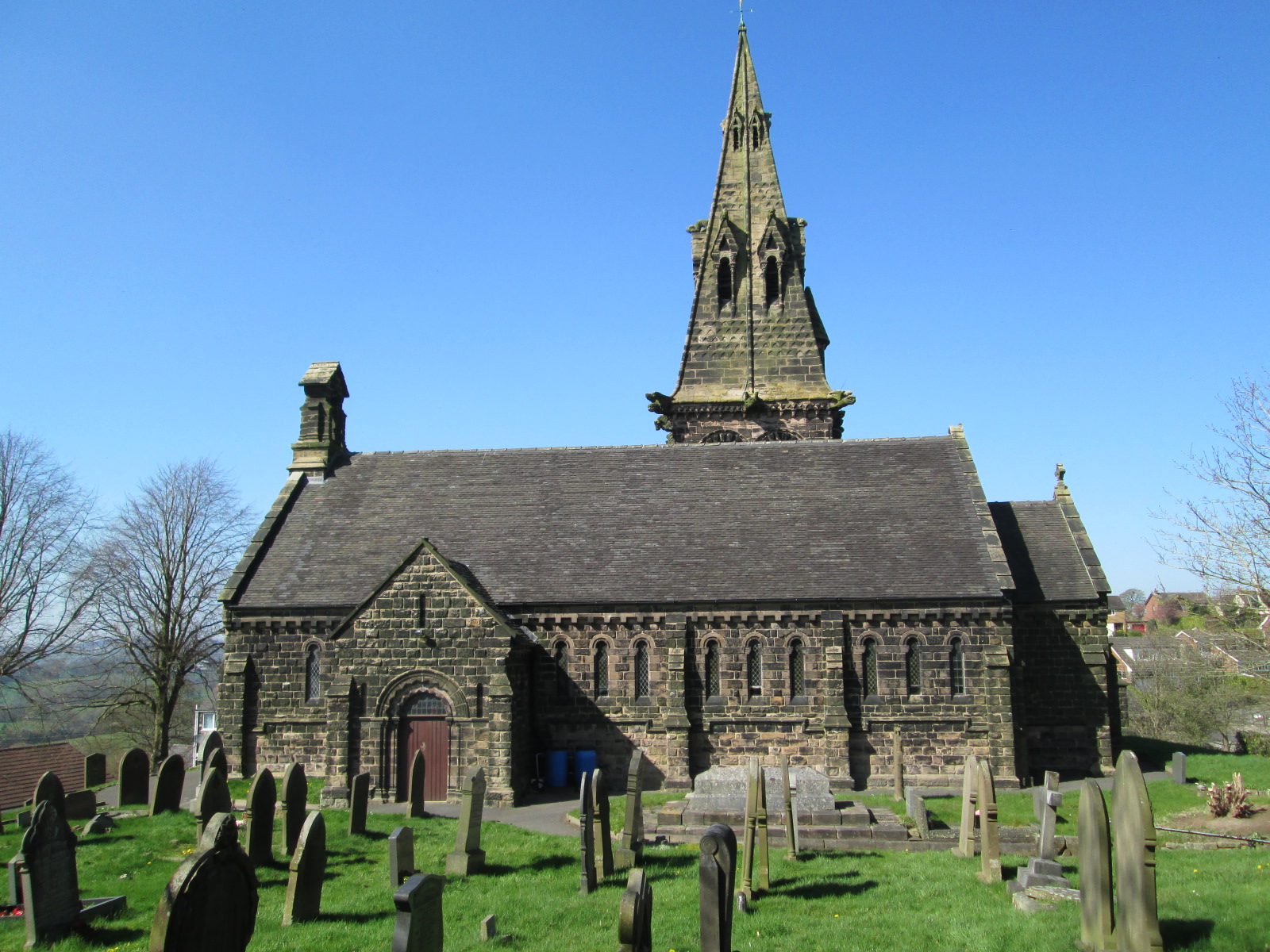
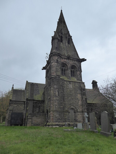
St Anne's Church, Brown Edge
St Anne's Church is an Anglican church in Brown Edge, Staffordshire, England, and in the Diocese of Lichfield. The building is Grade II listed. == History... ==

Brown Edge
Brown Edge is a village and civil parish in the Staffordshire Moorlands district of Staffordshire, England. According to the 2001 census it had a population...

Ridgeway, Staffordshire
Ridgeway is a hamlet on the boundary of Brown Edge and Stoke-on-Trent in Staffordshire, England. == References ==

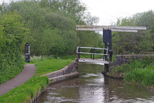
Knypersley Reservoir
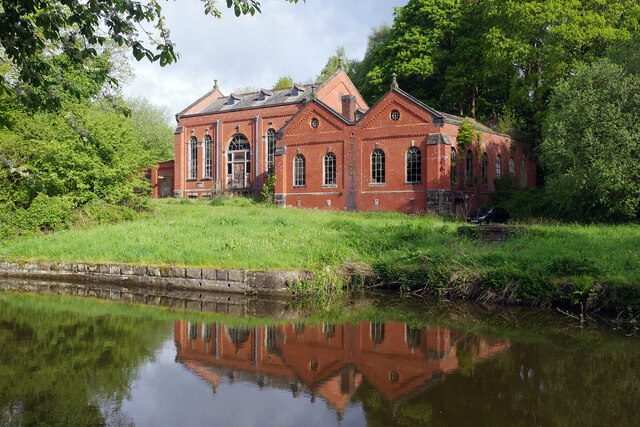
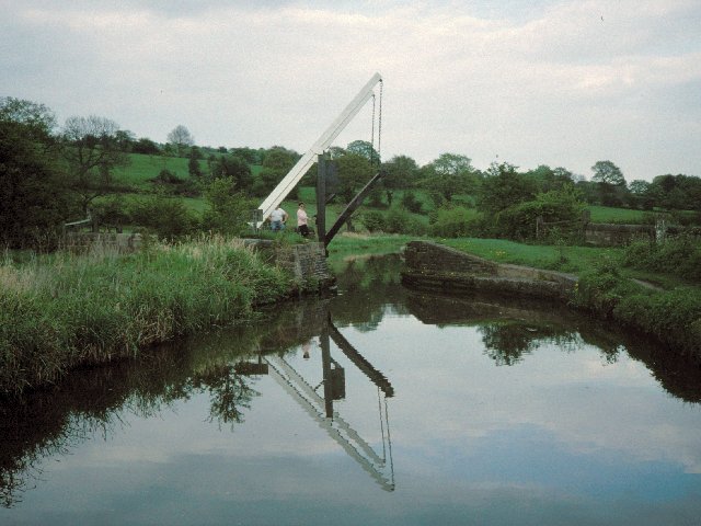
Knypersley Reservoir near Biddulph, Staffordshire, England, was built in 1827 to supply water to the Caldon Canal, along with two others at Stanley Pool...
Nearby Amenities
Located within 500m of 53.081947,-2.14448Have you been to Brown Edge?
Leave your review of Brown Edge below (or comments, questions and feedback).