North Petherwin

Civil Parish in Devon

England

North Petherwin

Field Edge view at Clubworthy Triangulation Pillar Looking westward towards communications mast.
Field Edge view at Clubworthy Triangulation Pillar Credit: Peter Wood

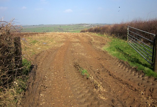
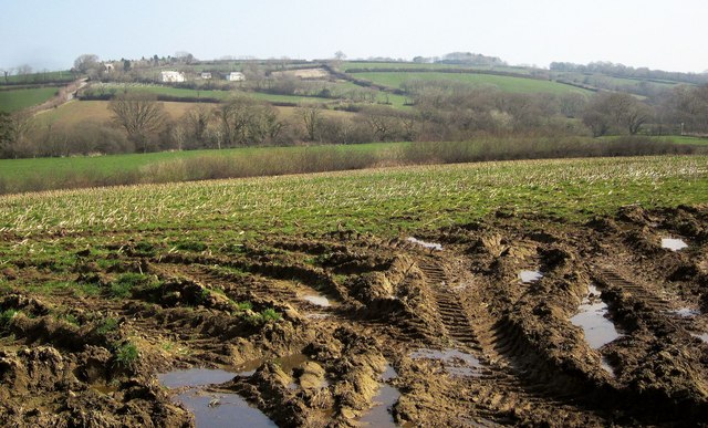
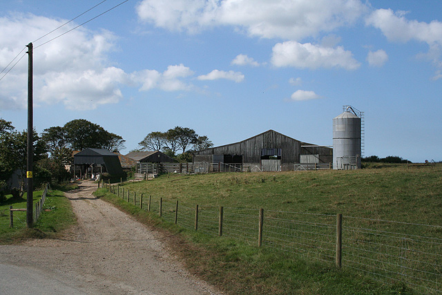
North Petherwin is a civil parish located in the county of Devon, England. Situated in the West Country, it lies approximately 5 miles southwest of Launceston, Cornwall, and about 20 miles north of the city of Plymouth. The parish encompasses a rural landscape, characterized by rolling hills, farmland, and scattered settlements.

The village of North Petherwin serves as the main settlement in the parish. It is a small, close-knit community with a population of around 500 residents. The village features a mix of traditional and modern houses, along with a handful of small businesses and amenities such as a village hall, a primary school, and a post office.

Historically, North Petherwin was an agricultural community, with farming playing a significant role in its economy. While agriculture remains important to the area, the parish has diversified its economic activities in recent years, with some residents commuting to nearby towns and cities for employment.

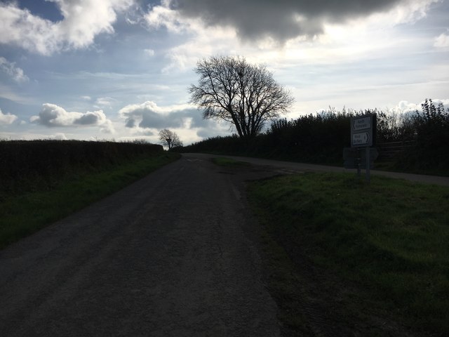
The parish is surrounded by picturesque countryside, making it an attractive destination for outdoor enthusiasts. The area offers numerous walking trails and bridleways, allowing visitors to explore the natural beauty of the Devon countryside. Noteworthy landmarks in the vicinity include the village church, St. Paternus, which dates back to the 13th century.

Overall, North Petherwin is a peaceful and charming civil parish that offers a rural lifestyle while being within easy reach of larger towns and cities. It provides a close community spirit and an abundance of natural beauty, making it an appealing place to live or visit.

If you have any feedback on the listing, please let us know in the comments section below.

North Petherwin Images

Images are sourced within 2km of 50.693889/-4.454354 or Grid Reference SX2691. Thanks to Geograph Open Source API. All images are credited.

Field Edge view at Clubworthy Triangulation Pillar Looking westward towards communications mast.
Field Edge view at Clubworthy Triangulation Pillar
Looking westward towards communications mast.
Lane heading to North Petherwin Lane at junction heading to North Petherwin
Lane heading to North Petherwin
Lane at junction heading to North Petherwin
North Petherwin School North Petherwin School at Brazacott
North Petherwin School
North Petherwin School at Brazacott
Lane through Brazacott Lane through Brazacott passing the converted chapel
Lane through Brazacott
Lane through Brazacott passing the converted chapel
Unsuitable for Motor Vehicles Unsuitable for motor vehicles at Higher Troswell Farmhouse
Unsuitable for Motor Vehicles
Unsuitable for motor vehicles at Higher Troswell Farmhouse
Muddy Farmtrack Muddy farmtrack behind Lower Troswell
Muddy Farmtrack
Muddy farmtrack behind Lower Troswell
Cattle Handling Area Cattle handling area on the farm track behind Lower Troswell
Cattle Handling Area
Cattle handling area on the farm track behind Lower Troswell
Towards the Caudworthy Water valley A muddy field entrance by the lane from Penrose Green to Trossell. The road climbing away on the left is heading for Billacott.
Towards the Caudworthy Water valley
A muddy field entrance by the lane from Penrose Green to Trossell. The road climbing away on the left is heading for Billacott.
Lane to Trossell By the entrance to Braywood Farm and the T junction with lanes to Billacott and Penrose Green.
Lane to Trossell
By the entrance to Braywood Farm and the T junction with lanes to Billacott and Penrose Green.
Field near Trillacott Seen from the lane from Winnacott.
Field near Trillacott
Seen from the lane from Winnacott.
Road fork northwest of North Petherwin The main lane left is for Brazacott; the right fork narrowly misses the village on the east, heading for Copthorne.
Road fork northwest of North Petherwin
The main lane left is for Brazacott; the right fork narrowly misses the village on the east, heading for Copthorne.
Lane near Brazacott The lane briefly brushes across the southwest corner of the square. The hedge shows signs of recent flailing, but not enough to be able to capture the farmland beyond it.
Lane near Brazacott
The lane briefly brushes across the southwest corner of the square. The hedge shows signs of recent flailing, but not enough to be able to capture the farmland beyond it.
Junction, Brazacott Solid stone buildings in this hamlet which, as the foreground sign on the road shows, possesses a fully functioning primary school. Tucked away out of sight behind the house on the right is a disused listed farmhouse <span class="nowrap"><a title="http://list.historicengland.org.uk/resultsingle.aspx?uid=1160475&searchtype=mapsearch" rel="nofollow ugc noopener" href="http://list.historicengland.org.uk/resultsingle.aspx?uid=1160475&searchtype=mapsearch">Link</a><img style="margin-left:2px;" alt="External link" title="External link - shift click to open in new window" src="https://s1.geograph.org.uk/img/external.png" width="10" height="10"/></span> .
Junction, Brazacott
Solid stone buildings in this hamlet which, as the foreground sign on the road shows, possesses a fully functioning primary school. Tucked away out of sight behind the house on the right is a disused listed farmhouse LinkExternal link .
Lane to Troswell The lane from Brazacott crosses a tiny stream destined to become part of Caudworthy Water. There are tiny lambs in the field ahead - see 
<a href="https://www.geograph.org.uk/photo/4396855">SX2591 : Lambs, Cappadocia</a>.
Lane to Troswell
The lane from Brazacott crosses a tiny stream destined to become part of Caudworthy Water. There are tiny lambs in the field ahead - see SX2591 : Lambs, Cappadocia.
Lane near Clubworthy Taken from the same junction as <a href="https://www.geograph.org.uk/photo/608814">SX2792 : Lane junction near Clubworthy</a>, looking in the opposite direction, with the lane curving a little towards the hamlet.
Lane near Clubworthy
Taken from the same junction as SX2792 : Lane junction near Clubworthy, looking in the opposite direction, with the lane curving a little towards the hamlet.
Field near Nescott From the lane which shaves across the south-west corner of the square, with one of the wind turbines that are now a feature of this part of Cornwall.
Field near Nescott
From the lane which shaves across the south-west corner of the square, with one of the wind turbines that are now a feature of this part of Cornwall.
Farm lane to Youngcott From the junction with the Langdon - Clubworthy lane. The farm lane is followed by footpath 529 2/1. On the right is a wind turbine across the Bolesbridge Water valley.
Farm lane to Youngcott
From the junction with the Langdon - Clubworthy lane. The farm lane is followed by footpath 529 2/1. On the right is a wind turbine across the Bolesbridge Water valley.
Caudworthy Water valley From the same gateway as <a href="https://www.geograph.org.uk/photo/4390078">SX2590 : Towards the Caudworthy Water valley</a>, looking to the right. The farm across the valley is Winnacott; the grade II* farmhouse, to the left, dates from the C16 and C17 and is described at <span class="nowrap"><a title="http://list.historicengland.org.uk/resultsingle.aspx?uid=1160463&searchtype=mapsearch" rel="nofollow ugc noopener" href="http://list.historicengland.org.uk/resultsingle.aspx?uid=1160463&searchtype=mapsearch">Link</a><img style="margin-left:2px;" alt="External link" title="External link - shift click to open in new window" src="https://s1.geograph.org.uk/img/external.png" width="10" height="10"/></span> .
Caudworthy Water valley
From the same gateway as SX2590 : Towards the Caudworthy Water valley, looking to the right. The farm across the valley is Winnacott; the grade II* farmhouse, to the left, dates from the C16 and C17 and is described at LinkExternal link .
Show me another place!

North Petherwin is located at Grid Ref: SX2691 (Lat: 50.693889, Lng: -4.454354)

Unitary Authority: Cornwall

Police Authority: Devon & Cornwall

What 3 Words

///loafing.dared.matter. Near Boyton, Cornwall

Nearby Locations

Brazacott North Petherwin

Related Wikis

Brazacott

Brazzacott or Brazacott is a hamlet in east Cornwall, England, United Kingdom. It is situated in the civil parish of North Petherwin and is six miles...

Billacott

Billacott is a hamlet in east Cornwall, England, United Kingdom. It is situated in the civil parish of North Petherwin (where the 2011 Census population...

Copthorne, Cornwall

Copthorne is a hamlet in the parish of North Petherwin, Cornwall, England. == References ==

Troswell

Lower Troswell and Higher Troswell are two farms in the parish of North Petherwin, Cornwall, England, UK. == See also == List of farms in Cornwall �...

Bodgate

Bodgate is a farmstead in east Cornwall, England, United Kingdom. It is situated in North Petherwin civil parish about 0.5 miles (0.80 km) south of North...

Clubworthy

Clubworthy is a hamlet in east Cornwall, England, United Kingdom. It is located six miles (8.5 km) north-northwest of Launceston . == References ==

North Petherwin

North Petherwin (Cornish: Paderwynn Gledh) is a civil parish and village that used to be in the historic county of Devon but today is situated in the ceremonial...

Maxworthy

Maxworthy is a hamlet north of North Petherwin in east Cornwall, England. == References ==

Nearby Amenities

Located within 500m of 50.693889,-4.454354
Brazacott
Name Kw: Bosvrosyow
Place: hamlet
Source: OS_OpenData_StreetView
Wikidata: Q4958580
Lat/Long: 50.6938349/-4.4542276
Post Box
Collection Times: Mo-Fr 09:00; Sa 07:00
Operator: Royal Mail
Operator Wikidata: Q638098
Post Box Mounting: stone_wall
Post Box Type: wall
Ref: PL15 17D
Royal Cypher: VR
Royal Cypher Wikidata: Q33102356
Survey Date: 2023-02-05
Lat/Long: 50.6916518/-4.4557155
The data included in this document is from www.openstreetmap.org. The data is made available under ODbL.

Have you been to North Petherwin?

Leave your review of North Petherwin below (or comments, questions and feedback).