North Kyme

Civil Parish in Lincolnshire North Kesteven

England

North Kyme

The Plough Stripped down to the brick since last Geographed: <a href="https://www.geograph.org.uk/photo/4353407">TF1552 : The Plough, North Kyme</a>.
The Plough Credit: David Lally

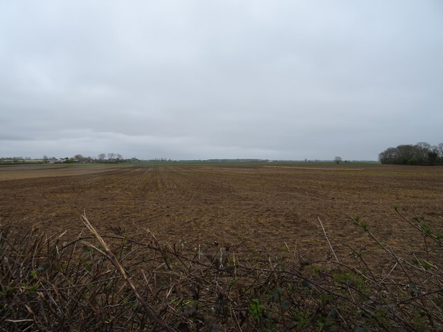
North Kyme is a civil parish located in the county of Lincolnshire, in the East Midlands region of England. Situated approximately 8 miles east of the town of Sleaford, the parish covers an area of about 10 square kilometers. It is a rural area predominantly characterized by agricultural land and small settlements.

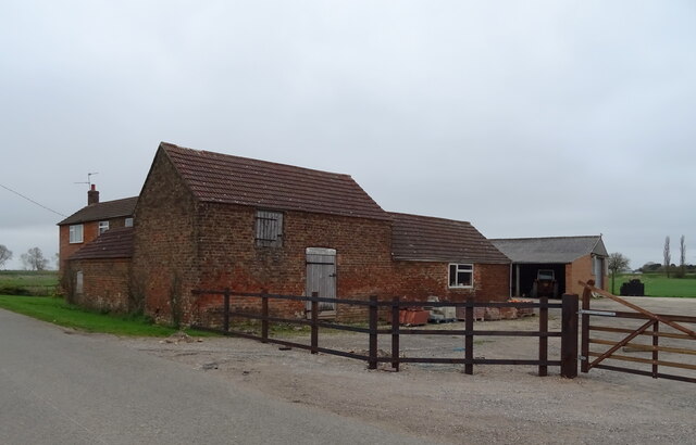
The village of North Kyme itself is a small and tight-knit community, with a population of around 300 residents. It features a mix of traditional and modern architecture, including charming thatched cottages and newer residential developments. The village is known for its peaceful and picturesque surroundings, with rolling hills, farmland, and the River Slea running nearby.

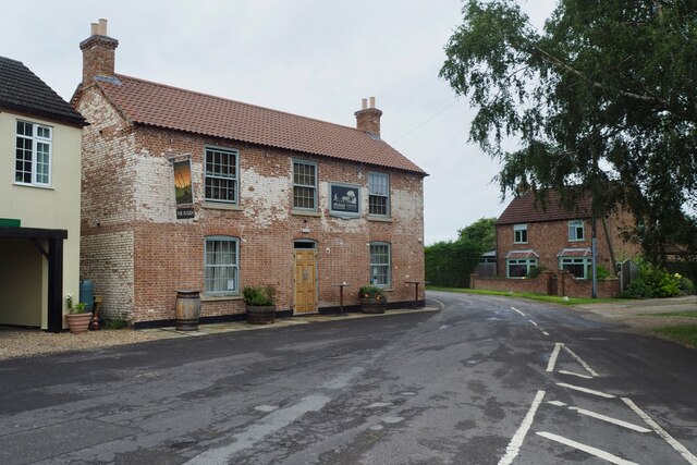
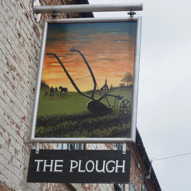
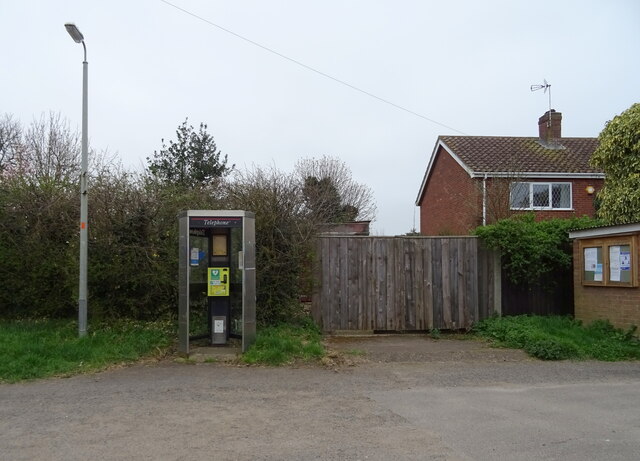
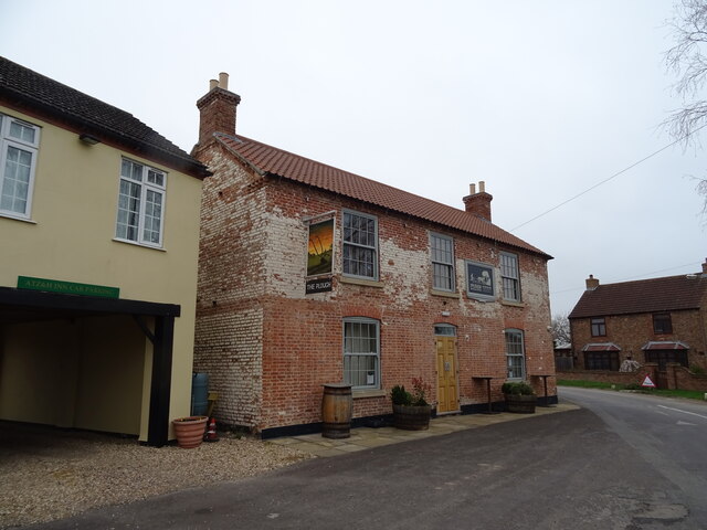
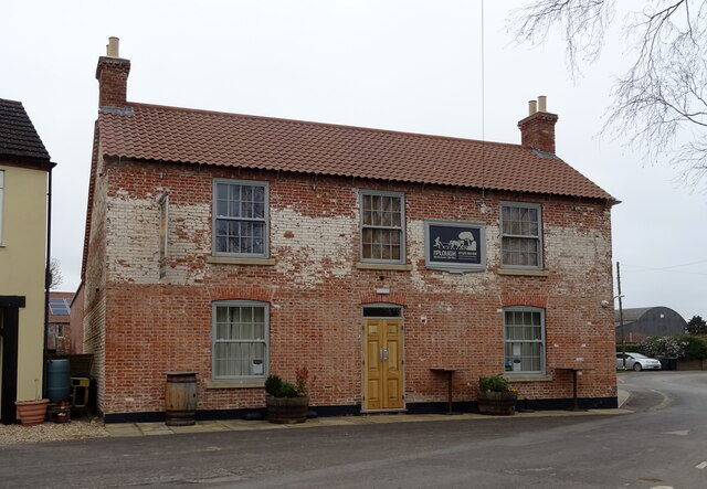
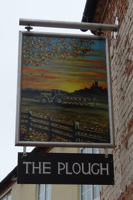
Despite its small size, North Kyme offers a range of amenities and facilities to its residents. These include a village hall, a primary school, a church, and a pub. The village hall serves as a hub for community events and activities, while the primary school provides education for local children.

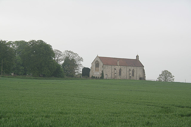
The parish is also home to several historical landmarks, including the Grade I listed St. Luke's Church, which dates back to the 12th century. The church is known for its stunning architecture and hosts regular services and community events.

Overall, North Kyme is a tranquil and close-knit community that offers a rural lifestyle with easy access to nearby towns and cities. It attracts residents seeking a peaceful and picturesque setting, with a strong sense of community spirit.

If you have any feedback on the listing, please let us know in the comments section below.
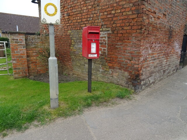
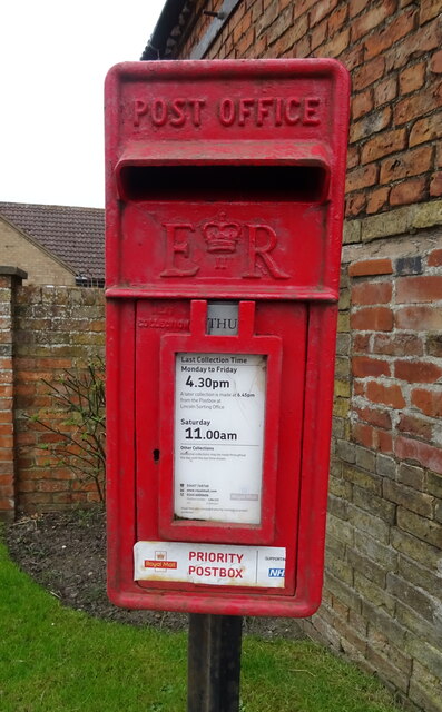
North Kyme Images

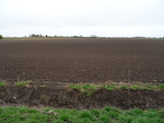
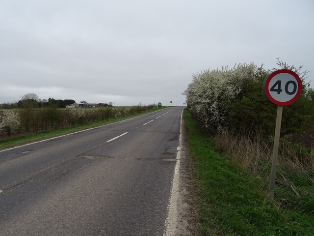
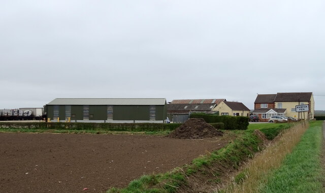
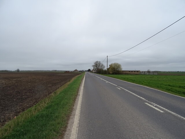
Images are sourced within 2km of 53.059801/-0.268574 or Grid Reference TF1652. Thanks to Geograph Open Source API. All images are credited.

The Plough Stripped down to the brick since last Geographed: <a href="https://www.geograph.org.uk/photo/4353407">TF1552 : The Plough, North Kyme</a>.
The Plough
Stripped down to the brick since last Geographed: TF1552 : The Plough, North Kyme.
The sign of The Plough See: <a href="https://www.geograph.org.uk/photo/6935405">TF1552 : The Plough</a>
The sign of The Plough
Missing defibrillator A repurposed BT telephone booth is no longer fit for purpose.
Missing defibrillator
A repurposed BT telephone booth is no longer fit for purpose.
Bridge Farm near North Kyme
Flat field off Main Street
Defibrillator in telephone kiosk on Main Street, North Kyme
The Plough, North Kyme
The Plough, North Kyme In 2014 - <a href="https://www.geograph.org.uk/photo/4353407">TF1552 : The Plough, North Kyme</a>
The Plough, North Kyme
Sign for the Plough, North Kyme
Village cross, North Kyme
ATZ & H Inn, North Kyme Formerly the Old Coach House Motel - <a href="https://www.geograph.org.uk/photo/4353402">TF1552 : Old Coach House Motel, North Kyme</a> and further back in time George Wilson's General Store <a href="https://www.geograph.org.uk/photo/542428">TF1552 : George Wilson's General Store</a>
ATZ & H Inn, North Kyme
Formerly the Old Coach House Motel - TF1552 : Old Coach House Motel, North Kyme and further back in time George Wilson's General Store TF1552 : George Wilson's General Store
Village cross and ATZ & H Inn, North Kyme The Plough public house to the right.
Village cross and ATZ & H Inn, North Kyme
The Plough public house to the right.
Flat farmland off Sleaford Road
Sleaford Road (A153) Towards North Kyme.
Sleaford Road (A153)
Towards North Kyme.
Fair View Farm
Fair View Farm
Sleaford Road (A153) Towards Anwick.
Sleaford Road (A153)
Towards Anwick.
Elizabeth II postbox on Main Street (A157), North Kyme Postbox No. LN4 233.

See <a href="https://www.geograph.org.uk/photo/7004398">TF1552 : Close up, Elizabeth II postbox on Main Street (A157), North Kyme</a> for close up
See <a href="https://www.geograph.org.uk/photo/7004403">TF1552 : House on Main Street (A157), North Kyme</a> for context.
Elizabeth II postbox on Main Street (A157), North Kyme
Close up, Elizabeth II postbox on Main Street (A157), North Kyme Postbox No. LN4 233.

See <a href="https://www.geograph.org.uk/photo/7004394">TF1552 : Elizabeth II postbox on Main Street (A157), North Kyme</a> for postbox.
Close up, Elizabeth II postbox on Main Street (A157), North Kyme
Show me another place!

North Kyme is located at Grid Ref: TF1652 (Lat: 53.059801, Lng: -0.268574)

Administrative County: Lincolnshire

District: North Kesteven

Police Authority: Lincolnshire

What 3 Words

///crunches.stance.eager. Near Billinghay, Lincolnshire

Nearby Locations

North Kyme

Related Wikis

North Kyme

North Kyme is a village and civil parish in the North Kesteven district of Lincolnshire, England. The civil parish had a population of 431 at the 2011...

Billinghay

Billinghay is a village and civil parish in the North Kesteven district of Lincolnshire, England. The village is situated approximately 7 miles (11 km...

Kyme Priory

Kyme Priory was a priory in South Kyme, Lincolnshire, England. What remains of the buildings are now part of Saint Mary and All Saints Church. The Augustinian...

South Kyme

South Kyme is a small village and civil parish in the North Kesteven district of Lincolnshire, England. The population of the civil parish at the 2011...

Nearby Amenities

Located within 500m of 53.059801,-0.268574
Power: pole
Lat/Long: 53.0594566/-0.2657154
Power: pole
Lat/Long: 53.0599375/-0.2645899
Power: pole
Lat/Long: 53.0605569/-0.2631513
Power: pole
Source: Bing
Lat/Long: 53.0611723/-0.2616643
Note: Name?
Place: farm
Source: Bing
Lat/Long: 53.0607291/-0.2618386
Power: pole
Lat/Long: 53.0609065/-0.2622488
Power: pole
Lat/Long: 53.0564435/-0.2704726
Power: pole
Lat/Long: 53.0572624/-0.2692723
Power: pole
Lat/Long: 53.0581667/-0.268127
Power: pole
Lat/Long: 53.0589326/-0.2669581
The data included in this document is from www.openstreetmap.org. The data is made available under ODbL.

Have you been to North Kyme?

Leave your review of North Kyme below (or comments, questions and feedback).