North Gosforth
Civil Parish in Northumberland Newcastle upon Tyne
England
North Gosforth
North Gosforth is a civil parish located in the county of Northumberland, England. It is situated approximately 6 miles north of the city of Newcastle upon Tyne. The parish covers an area of around 7 square miles and has a population of approximately 5,000 residents.
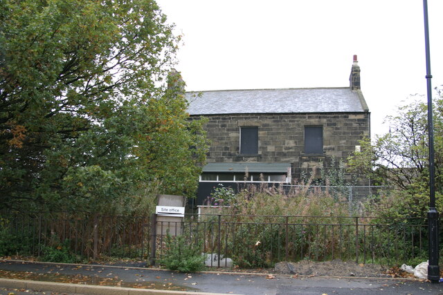
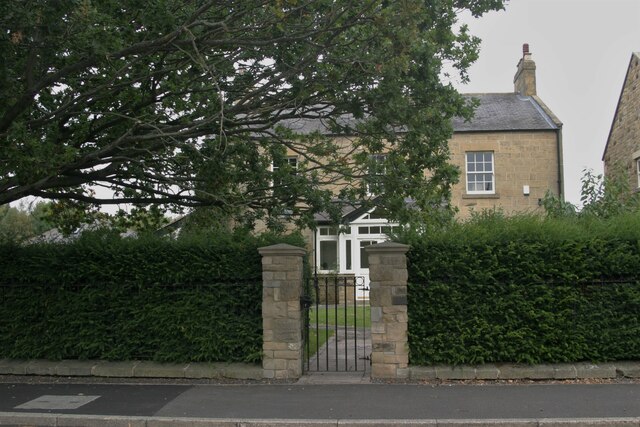
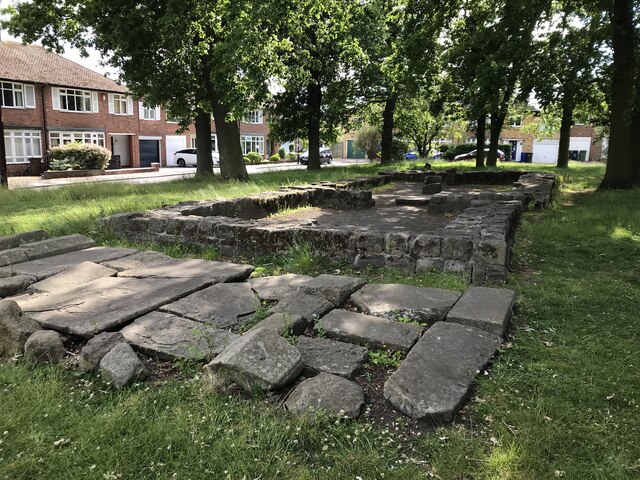
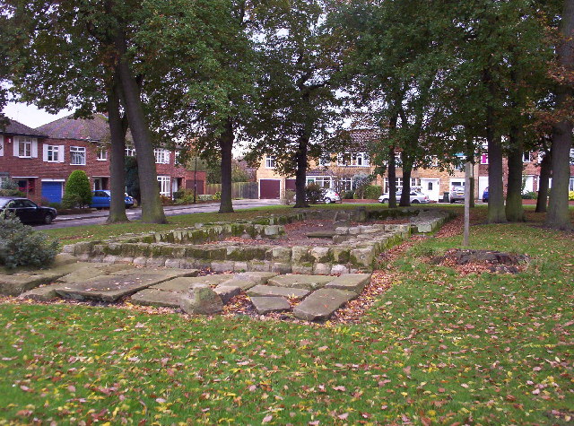
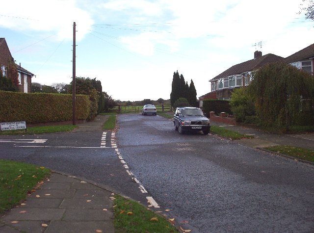
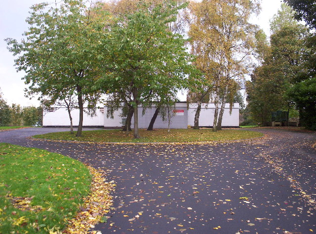
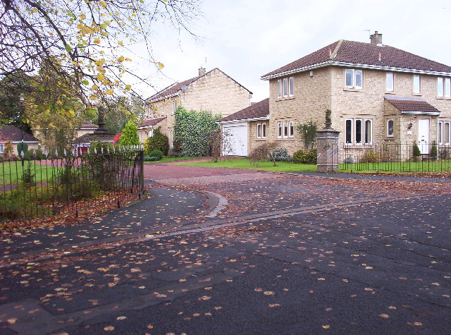
North Gosforth is primarily a residential area, characterized by a mix of housing types including detached houses, semi-detached houses, and some apartment complexes. The architecture in the area is predominantly modern, with a few older properties scattered throughout. The parish benefits from a range of local amenities, including shops, schools, and recreational facilities.
The area is well-connected in terms of transport, with easy access to the A1 road and the A19 road, providing links to nearby towns and cities. The nearest train station is Newcastle Central Station, which offers regular services to various destinations across the country.
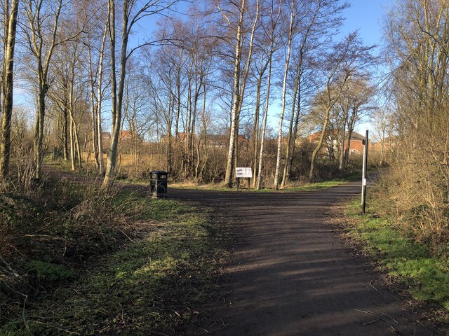
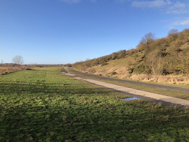
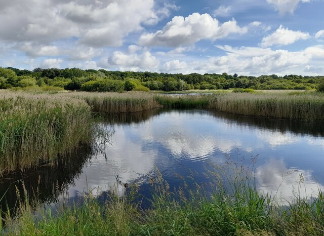
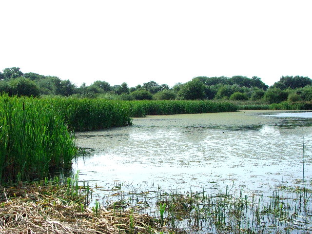
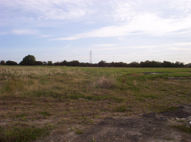
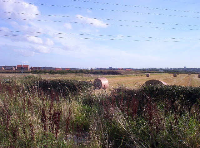
North Gosforth is surrounded by green spaces, including the picturesque Gosforth Park Nature Reserve, which offers opportunities for outdoor activities such as walking, cycling, and birdwatching. The parish is also within close proximity to the Northumberland coastline, allowing residents to easily access beautiful beaches and coastal walks.
Overall, North Gosforth is a desirable place to live, offering a peaceful and suburban lifestyle while still being within easy reach of the amenities and cultural attractions of Newcastle upon Tyne.
If you have any feedback on the listing, please let us know in the comments section below.
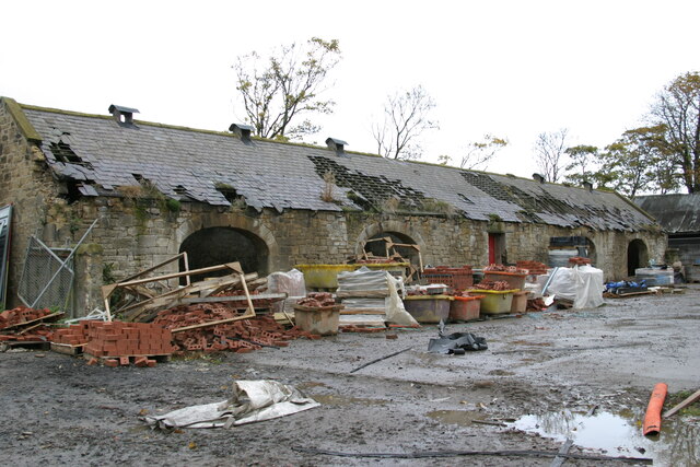
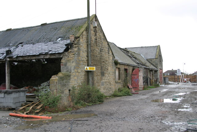
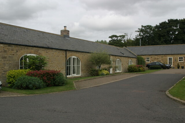
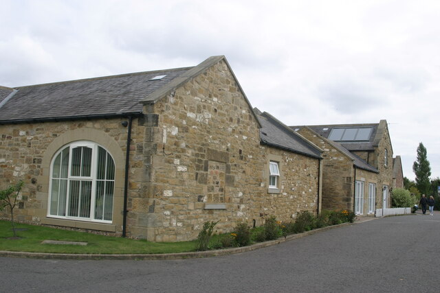
North Gosforth Images
Images are sourced within 2km of 55.029306/-1.611885 or Grid Reference NZ2470. Thanks to Geograph Open Source API. All images are credited.

North Gosforth is located at Grid Ref: NZ2470 (Lat: 55.029306, Lng: -1.611885)
Administrative County: Tyne and Wear
District: Newcastle upon Tyne
Police Authority: Northumbria
What 3 Words
///festivity.parade.glory. Near Wideopen, Northumberland
Nearby Locations
Related Wikis
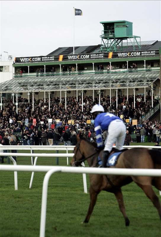
Newcastle Racecourse
Newcastle Racecourse is a horse racing course located at Gosforth Park in Newcastle upon Tyne, England, owned by Arena Racing Company. It stages both flat...
Gosforth Park
Gosforth Park is a park north of Gosforth in the city of Newcastle upon Tyne, England. It houses Newcastle Racecourse, Virgin Money Unity Arena, a Britannia...

Gosforth Nature Reserve
Gosforth Nature Reserve is a wildlife haven in Tyne and Wear, England. It includes extensive woodland and wetland habitats and is managed by the Natural...

Gosforth House
Gosforth House now known as Brandling House is a Grade II listed building built as a mansion house and now serving as a hospitality and conference centre...
Nearby Amenities
Located within 500m of 55.029306,-1.611885Have you been to North Gosforth?
Leave your review of North Gosforth below (or comments, questions and feedback).