North and South Anston

Civil Parish in Yorkshire Rotherham

England

North and South Anston

Anston Burial Ground
Anston Burial Ground Credit: Mr Ignavy

North Anston and South Anston are two civil parishes located in the county of Yorkshire, England. They are situated in the Metropolitan Borough of Rotherham, approximately 9 miles east of Sheffield.

North Anston is a village that lies to the north of the A57 road, while South Anston is located to the south of the road. Both parishes are part of the historic area of Anston, which dates back to medieval times.

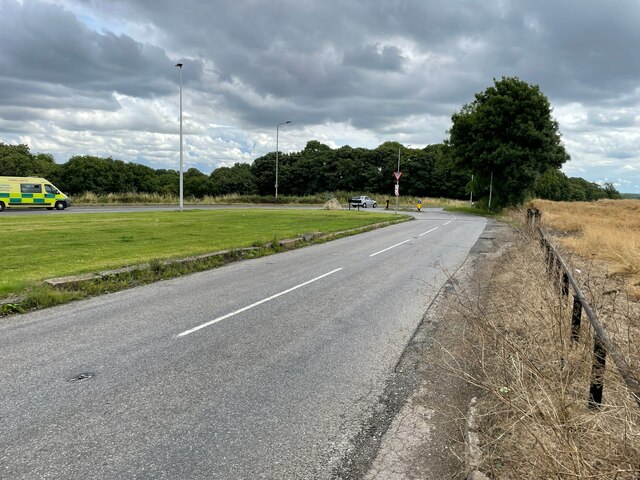
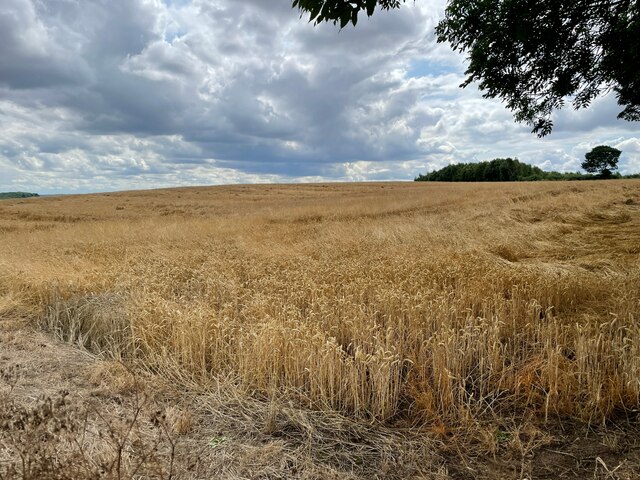
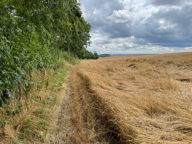
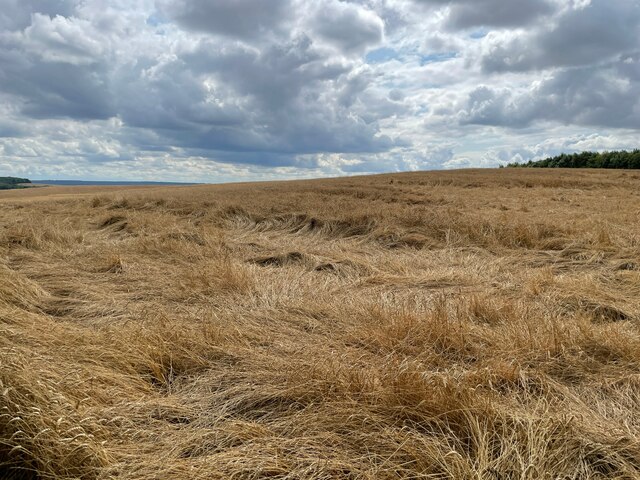
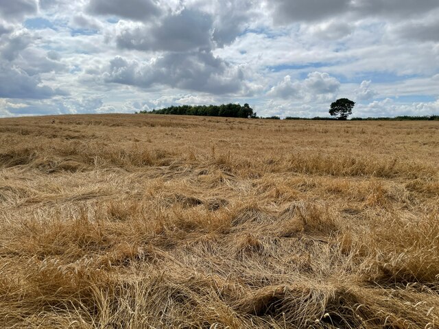
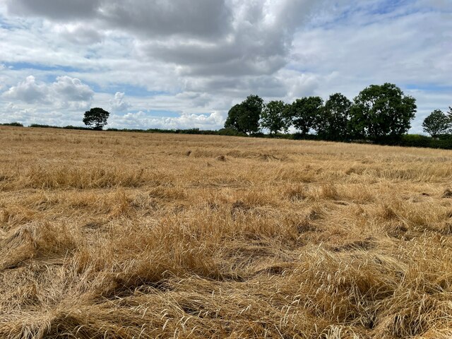
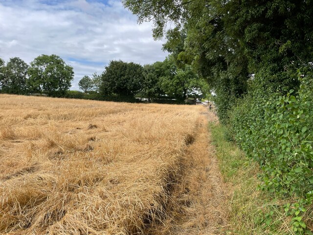
The villages are surrounded by picturesque countryside, with rolling hills and fields. They provide a peaceful and rural setting, attracting residents who enjoy a quieter way of life while still being within easy reach of larger towns and cities.

North Anston and South Anston offer a range of amenities and services for residents, including shops, pubs, and restaurants. The villages also have primary schools, making them popular choices for families. Additionally, there are recreational facilities such as parks and sports clubs, providing opportunities for outdoor activities and socializing.

The area is known for its rich history, with notable landmarks such as Anston Hall, a Grade II listed building dating back to the 16th century. There are also several churches and historical sites that add to the charm and character of the villages.

Overall, North Anston and South Anston offer a pleasant and picturesque living environment, combining the benefits of rural living with easy access to urban amenities.

If you have any feedback on the listing, please let us know in the comments section below.

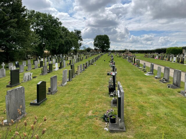
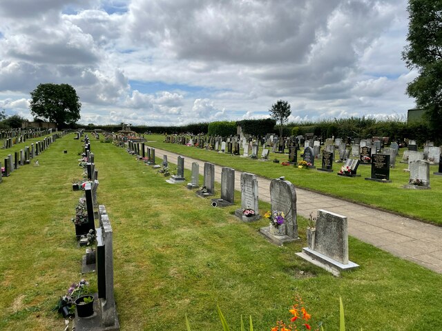
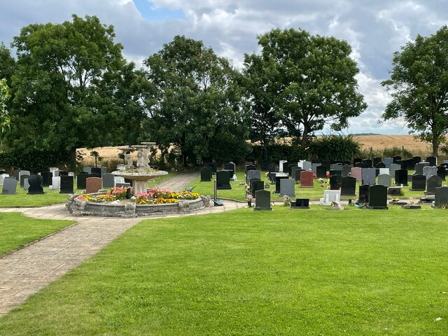
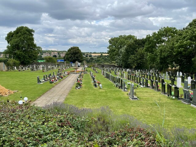
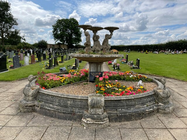
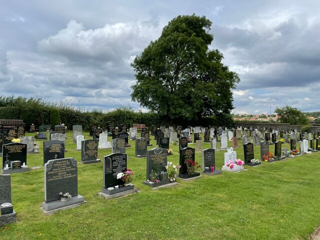
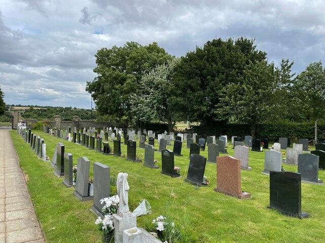
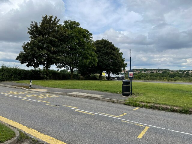
North and South Anston Images

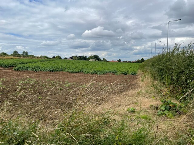
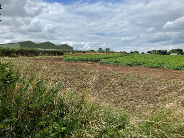
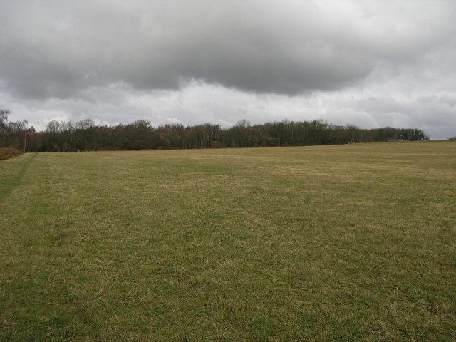
Images are sourced within 2km of 53.346392/-1.20962 or Grid Reference SK5283. Thanks to Geograph Open Source API. All images are credited.

Anston Burial Ground
Bus stop on B6059
Bus stop on B6059
B6059 / A57
B6059 / A57
Farmland east of South Anston
Bus stop on B6059
Bus stop on B6059
Farmland east of South Anston
Show me another place!

North and South Anston is located at Grid Ref: SK5283 (Lat: 53.346392, Lng: -1.20962)

Division: West Riding

Administrative County: South Yorkshire

District: Rotherham

Police Authority: South Yorkshire

What 3 Words

///ripen.winds.calm. Near Dinnington, South Yorkshire

Related Wikis

Beighton (ward)

Beighton ()—which includes the districts of Beighton, Hackenthorpe, Owlthorpe, and Sothall—is one of the 28 electoral wards in City of Sheffield, England...

Anston Stones Wood

Anston Stones Wood (grid reference SK531831) is a 33.7 hectare (88.3 acre) biological site of Special Scientific Interest in South Yorkshire. The site...

St James Church, Anston

St James Church, Anston is a grade I listed Church of England parish church situated in Anston, South Yorkshire, England. == History == Anston has had...

Anston

Anston is a civil parish in South Yorkshire, England, formally known as North and South Anston. The parish of Anston consists of the settlements of North...

Nearby Amenities

Located within 500m of 53.346392,-1.20962
Bus Stop
Sheffield Road/Worksop Road
Bus: yes
Naptan AtcoCode: 370030087
Naptan Bearing: SE
Naptan CommonName: Sheffield Road/Worksop Road
Naptan Indicator: 30087
Naptan Landmark: CEMETERY
Naptan PlusbusZoneRef: ROTHCEN
Naptan Street: Sheffield Road
Naptan Verified: no
Public Transport: platform
Source: naptan_import
Lat/Long: 53.3453144/-1.2136324
Sheffield Road/Worksop Road
Alt Name: Sheffield Road/Worksop Road
Naptan AltCommonName: Sheffield Road/Worksop Road
Naptan AtcoCode: 370035671
Naptan Bearing: NW
Naptan BusStopType: CUS
Naptan CommonName: Sheffield Road/Worksop Road
Naptan Indicator: 35671
Naptan Landmark: CEMETERY
Naptan PlusbusZoneRef: ROTHCEN
Naptan Street: Sheffield Road
Naptan Verified: no
Source: naptan_import
Lat/Long: 53.3452252/-1.2137242
Ele: 99.381226
Lat/Long: 53.3451169/-1.208049
Ele: 100.823242
Lat/Long: 53.346234/-1.2080483
Ele: 88.085815
Lat/Long: 53.3487241/-1.2137581
Ele: 96.257080
Lat/Long: 53.3459742/-1.2076948
Ele: 94.094116
Lat/Long: 53.3458881/-1.2075564
Ele: 102.986084
Lat/Long: 53.347681/-1.209806
Ele: 105.149048
Lat/Long: 53.3481225/-1.2100516
Ele: 101.303833
Lat/Long: 53.347843/-1.210292
Ele: 100.823242
Lat/Long: 53.347768/-1.2102491
Ele: 100.102295
Lat/Long: 53.347686/-1.210222
Generator Method: photovoltaic
Generator Output Electricity: yes
Generator Source: solar
Generator Type: solar_photovoltaic_panel
Location: roof
Power: generator
Lat/Long: 53.3502511/-1.2098883
Generator Method: photovoltaic
Generator Output Electricity: yes
Generator Source: solar
Generator Type: solar_photovoltaic_panel
Location: roof
Power: generator
Lat/Long: 53.3508387/-1.2094833
Generator Method: photovoltaic
Generator Output Electricity: yes
Generator Source: solar
Generator Type: solar_photovoltaic_panel
Location: roof
Power: generator
Lat/Long: 53.3506241/-1.2100975
Generator Method: photovoltaic
Generator Output Electricity: yes
Generator Source: solar
Generator Type: solar_photovoltaic_panel
Location: roof
Power: generator
Lat/Long: 53.3506289/-1.2101512
Generator Method: photovoltaic
Generator Output Electricity: yes
Generator Source: solar
Generator Type: solar_photovoltaic_panel
Location: roof
Power: generator
Lat/Long: 53.3477446/-1.2166983
Generator Method: photovoltaic
Generator Output Electricity: yes
Generator Source: solar
Generator Type: solar_photovoltaic_panel
Location: roof
Power: generator
Lat/Long: 53.3473571/-1.2159687
Bench
Backrest: yes
Lat/Long: 53.349691/-1.2090018
Parking
Capacity: 3
Lat/Long: 53.3487047/-1.2064661
Bench
Backrest: no
Lat/Long: 53.3480012/-1.2115501
Bench
Backrest: no
Lat/Long: 53.3474357/-1.2099171
Dead Mans Cave
Natural: cave_entrance
Lat/Long: 53.3460249/-1.2086054
Noexit: yes
Lat/Long: 53.3465509/-1.211681
Defibrillator
Access: yes
Defibrillator Location: On a lamp post. On Belvedere Close.
Emergency: defibrillator
Indoor: no
Lat/Long: 53.350578/-1.210215
The data included in this document is from www.openstreetmap.org. The data is made available under ODbL.

Have you been to North and South Anston?

Leave your review of North and South Anston below (or comments, questions and feedback).