Newton (Queenswood Ward)
Civil Parish in Herefordshire
England
Newton (Queenswood Ward)
Newton (Queenswood Ward) is a civil parish located in the county of Herefordshire, England. Situated approximately 6 miles northeast of the city of Hereford, it covers an area of about 3.5 square miles. The parish is in close proximity to Queenswood Country Park, a popular recreational area known for its beautiful woodland and picturesque landscape.
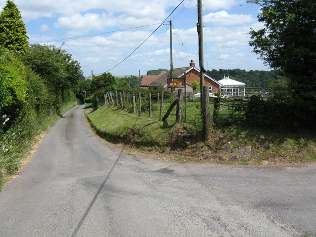
Newton (Queenswood Ward) is a predominantly rural area with a small population of residents. The parish is characterized by its charming countryside setting, featuring rolling hills, fields, and patches of woodland. The landscape is dotted with several farms and agricultural fields, reflecting the area's strong ties to agriculture.
The parish is home to a few scattered residential properties, most of which are traditional houses and cottages. These properties blend seamlessly into the natural surroundings, creating a tranquil and idyllic atmosphere. The community in Newton (Queenswood Ward) is close-knit and friendly, with residents enjoying a peaceful way of life.
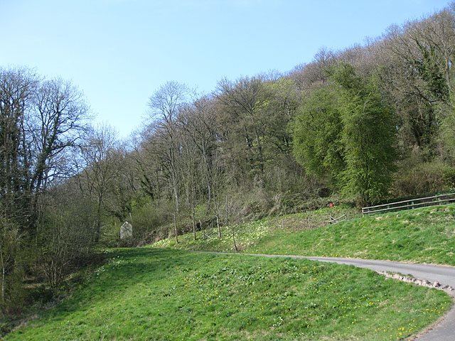
Within the parish, Queenswood Country Park is a notable attraction. The park offers a range of recreational activities, including walking trails, cycling paths, and wildlife spotting. The park is also known for its arboretum, which features a diverse collection of trees and plants from around the world.
Overall, Newton (Queenswood Ward) in Herefordshire is a picturesque civil parish characterized by its rural charm, stunning natural landscapes, and a close community. It offers a peaceful and idyllic living environment for its residents, with easy access to the nearby city of Hereford and the recreational opportunities of Queenswood Country Park.
If you have any feedback on the listing, please let us know in the comments section below.
Newton (Queenswood Ward) Images
Images are sourced within 2km of 52.181363/-2.728195 or Grid Reference SO5053. Thanks to Geograph Open Source API. All images are credited.


Newton (Queenswood Ward) is located at Grid Ref: SO5053 (Lat: 52.181363, Lng: -2.728195)
Unitary Authority: County of Herefordshire
Police Authority: West Mercia
What 3 Words
///rainwater.sediment.depend. Near Hope under Dinmore, Herefordshire
Nearby Locations
Related Wikis
Newton, Hampton Court
Newton is a linear settlement hamlet and civil parish in the county of Herefordshire, England, and is 10 miles (16 km) north from the city and county town...

Marlbrook, Herefordshire
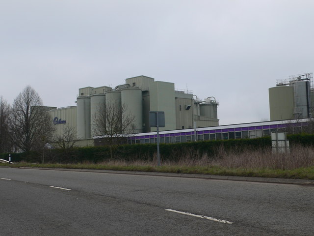
Marlbrook is an industrial and business park on the borders of and split between the civil parishes of Hope under Dinmore and Newton, in Herefordshire...

Hope under Dinmore
Hope under Dinmore is a village and civil parish in Herefordshire, England. The village is on the A49 road, 4 miles (6 km) south of Leominster and 9 miles...

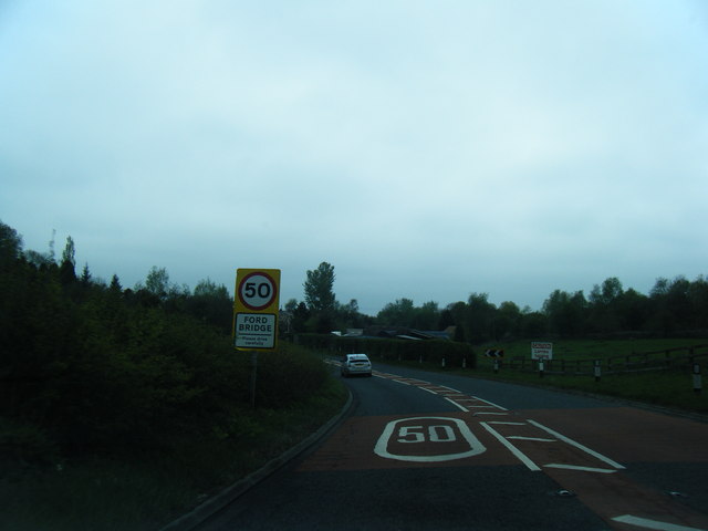
Ford Bridge railway station
Ford Bridge railway station was a station in Marlbrook, Herefordshire, England. The station was opened in 1854 and closed in 1954. After closure, the station...
Ivington Camp
Ivington Camp is an Iron Age hill fort located at Brierley, 3 km south of Leominster, Herefordshire. == Further reading == Children, G; Nash, G (1994)...
Dinmore Hill
Dinmore Hill rises steeply above the River Lugg in Herefordshire, England and is effectively the prominent eastern ridge of an area of high ground which...

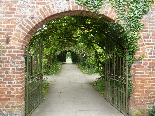
Hampton Court Castle
Hampton Court Castle, also known as Hampton Court, is a castellated country house in the English county of Herefordshire. The house is in the parish of...
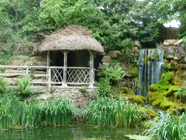
Queen's Wood Country Park
Queen's Wood Country Park is the only designated country park in the county of Herefordshire. A tourist attraction on Dinmore Hill, it has two components...
Nearby Amenities
Located within 500m of 52.181363,-2.728195Have you been to Newton (Queenswood Ward)?
Leave your review of Newton (Queenswood Ward) below (or comments, questions and feedback).