Broughton

Settlement in Huntingdonshire Huntingdonshire

England

Broughton

Highland cattle at Johnson's Farm, Oldhurst
Highland cattle at Johnson's Farm, Oldhurst Credit: Richard Humphrey

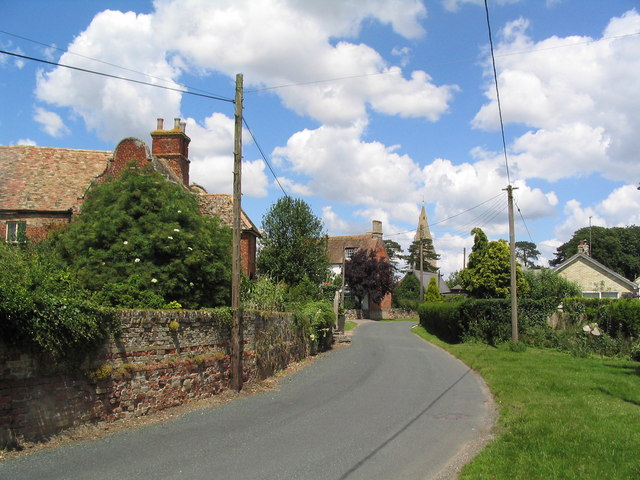
Broughton is a small village located in the district of Huntingdonshire in the county of Cambridgeshire, England. Situated approximately 5 miles west of Huntingdon, Broughton is nestled in a rural setting surrounded by picturesque countryside.

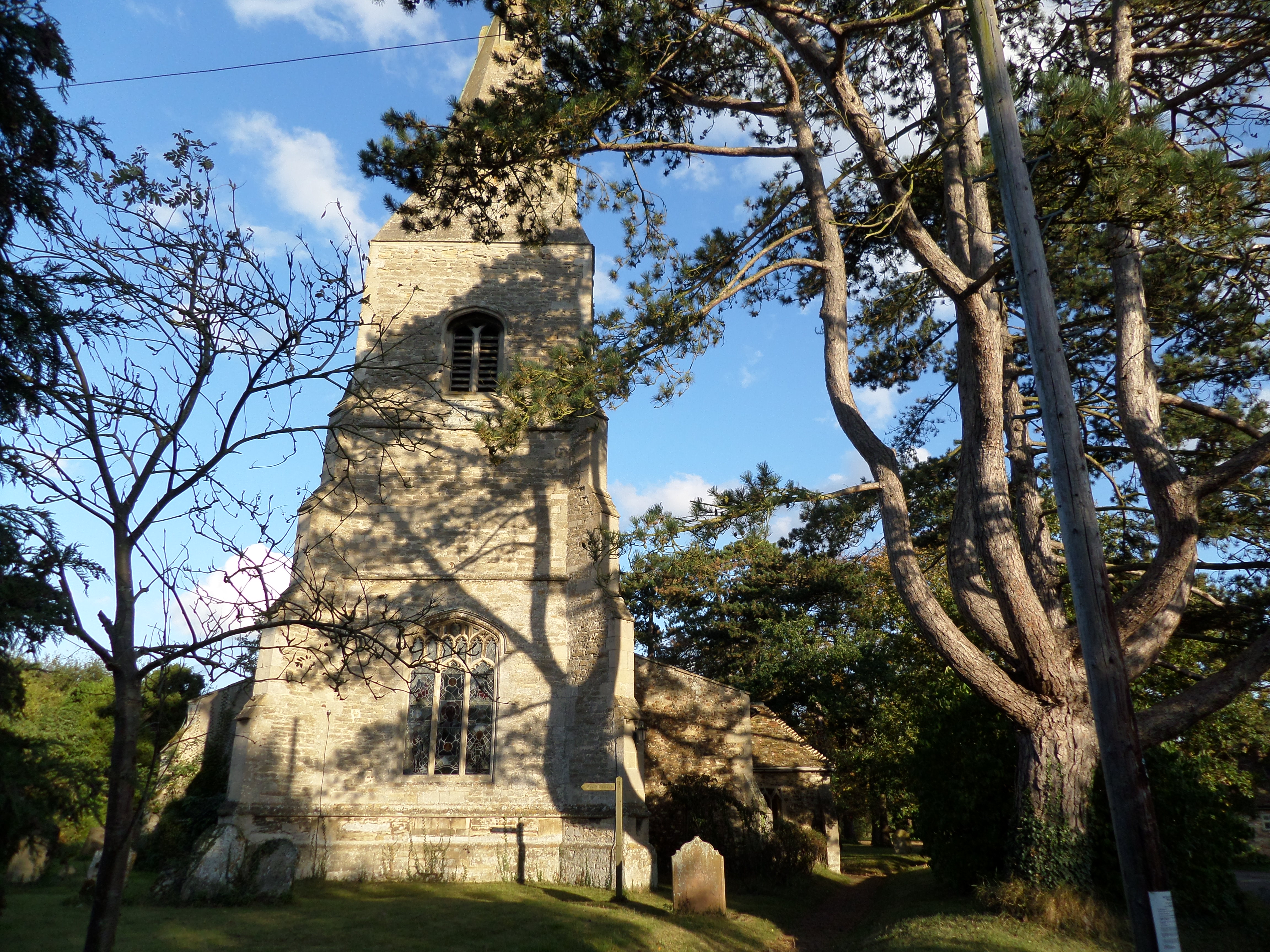
The village has a long and rich history, with records dating back to the Domesday Book of 1086. It has retained much of its traditional charm, with a variety of historic buildings and houses that showcase the architectural styles of different periods.

Broughton is predominantly a residential area, with a close-knit community of approximately 500 residents. The village is known for its peaceful atmosphere, offering a tranquil escape from the hustle and bustle of nearby towns and cities.

Though small in size, Broughton boasts several amenities to cater to the needs of its residents. These include a primary school, a village hall, and a local pub, which serves as a social hub for the community. There are also various recreational opportunities available, such as walking and cycling routes that allow residents to explore the natural beauty of the surrounding area.

The village benefits from its proximity to Huntingdon, which provides access to a wider range of services and amenities, including shopping centers, supermarkets, and healthcare facilities. Broughton also benefits from good transport links, with major road networks such as the A14 and A1 nearby, allowing for easy commuting to neighboring towns and cities.

Overall, Broughton offers a peaceful and idyllic village lifestyle, making it an attractive place to reside for those seeking a more relaxed and close-knit community.

If you have any feedback on the listing, please let us know in the comments section below.
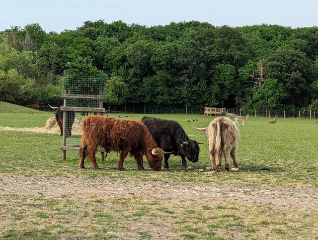
Broughton Images

Images are sourced within 2km of 52.383895/-0.119768 or Grid Reference TL2877. Thanks to Geograph Open Source API. All images are credited.

Highland cattle at Johnson's Farm, Oldhurst
After the rain
After the rain
Harvest in
Harvest in
Through the gate to New Barn
Field and trees Sewage works are completely hidden by the tall trees, middle distance.
Field and trees
Sewage works are completely hidden by the tall trees, middle distance.
Holborn Farm
Holborn Farm
Towards Wistow
Towards Wistow
Concrete storage area Interesting piles of something that are no doubt of some use to the farmer!
Concrete storage area
Interesting piles of something that are no doubt of some use to the farmer!
Country Crossroads A quiet moment during the rush hour.
Country Crossroads
A quiet moment during the rush hour.
Barns near Broughton
Village Hall, Broughton Formerly the School, dating from 1842
Village Hall, Broughton
Formerly the School, dating from 1842
Entering Broughton The village has many fine old houses.
Entering Broughton
The village has many fine old houses.
Track from Lodge Farm
Farm buildings on track from Lodge Farm
Illings Lane Marked as a 'Droveway'. Fairly rutted in parts - not ideal for a bike.
Illings Lane
Marked as a 'Droveway'. Fairly rutted in parts - not ideal for a bike.
End of Illings Lane The lane north from Broughton ends as a grassy track which swings right at this point. However, the public footpath continues straight ahead, through the trees, for another 2 km to Wistow.
End of Illings Lane
The lane north from Broughton ends as a grassy track which swings right at this point. However, the public footpath continues straight ahead, through the trees, for another 2 km to Wistow.
Grassy track by stream The grassy track swinging east from the end of Illings Lane - <a href="https://www.geograph.org.uk/photo/489334">TL2879 : End of Illings Lane</a> - ends up in pleasant meadows running parallel to a meandering stream (trees and shrubs on right). Though very small, the steepness of the stream's banks, and abundant nettles, made it impossible to cross.
Grassy track by stream
The grassy track swinging east from the end of Illings Lane - TL2879 : End of Illings Lane - ends up in pleasant meadows running parallel to a meandering stream (trees and shrubs on right). Though very small, the steepness of the stream's banks, and abundant nettles, made it impossible to cross.
Rectory Farm Footpath at Rectory Farm
Rectory Farm
Footpath at Rectory Farm
Show me another place!

Broughton is located at Grid Ref: TL2877 (Lat: 52.383895, Lng: -0.119768)

Administrative County: Cambridgeshire

District: Huntingdonshire

Police Authority: Cambridgeshire

What 3 Words

///claim.ground.highlighted. Near Warboys, Cambridgeshire

Nearby Locations

Broughton Broughton

Related Wikis

Broughton, Cambridgeshire

Broughton is a village and civil parish in the Huntingdonshire district of Cambridgeshire, England, around six miles north of Huntingdon. Broughton is...

Hurstingstone (hundred)

Hurstingstone was a hundred of Huntingdonshire, England that was mentioned in the Domesday Book of 1086. According to Victoria County History, the derivation...

Old Hurst

Old Hurst is a village and civil parish in Cambridgeshire, England, approximately 5 miles (8 km) north-east of Huntingdon. It is situated within Huntingdonshire...

Kings Ripton

Kings Ripton (traditionally King's Ripton) is a village and civil parish in Cambridgeshire, England. Kings Ripton lies approximately 3 miles (5 km) north...

Nearby Amenities

Located within 500m of 52.383895,-0.119768
Broughton
Created By: Merkaartor 0.12
Place: village
Source Name: local knowledge
Lat/Long: 52.3834582/-0.1185857
Created By: Merkaartor 0.12
Lat/Long: 52.3853637/-0.1171374
Created By: Merkaartor 0.12
Lat/Long: 52.385394/-0.1168929
Created By: Merkaartor 0.12
Lat/Long: 52.384583/-0.116013
Created By: Merkaartor 0.12
Lat/Long: 52.383452/-0.115503
Created By: Merkaartor 0.12
Lat/Long: 52.3813691/-0.1157748
Bus Stop
School Road
Alt Name: Crown Inn
Bus: yes
Naptan AltCommonName: Crown Inn
Naptan AtcoCode: 0500HBROU002
Naptan Bearing: N
Naptan BusStopType: CUS
Naptan CommonName: School Road
Naptan Indicator: near
Naptan Landmark: School Road
Naptan NaptanCode: cmbdmtjt
Naptan ShortCommonName: School Road
Naptan Street: Bridge Road
Naptan Verified: no
Public Transport: platform
Source: naptan_import
Lat/Long: 52.3838483/-0.1199935
Bus Stop
School Road
Alt Name: Crown Inn
Bus: yes
Naptan AltCommonName: Crown Inn
Naptan AtcoCode: 0500HBROU003
Naptan Bearing: S
Naptan BusStopType: CUS
Naptan CommonName: School Road
Naptan Crossing: School Road
Naptan Indicator: opp
Naptan Landmark: School Road
Naptan NaptanCode: cmbgjmta
Naptan ShortCommonName: School Road
Naptan Street: Bridge Road
Naptan Verified: no
Public Transport: platform
Source: naptan_import
Lat/Long: 52.3837575/-0.1199386
Pub
The Crown Inn
Website: http://www.thecrowninnrestaurant.co.uk/
Wikidata: Q26456161
Lat/Long: 52.3838226/-0.1196618
Telephone
Booth: K6
Covered: booth
Man Made: telephone_box
Lat/Long: 52.3822562/-0.1213501
Recycling
Recycling Type: container
Lat/Long: 52.3849151/-0.1217539
Post Box
Collection Times: Mo-Fr 09:00; Sa 07:00
Operator: Royal Mail
Post Box Type: pillar
Ref: PE28 63
Lat/Long: 52.3838724/-0.1199225
Broughton Lock Up
Historic: monument
Note: prison built around 1840
Lat/Long: 52.3842361/-0.1189738
Barrier: stile
Lat/Long: 52.3819166/-0.1247437
Barrier: stile
Lat/Long: 52.3836985/-0.123052
Barrier: stile
Lat/Long: 52.3852826/-0.1198855
Barrier: stile
Lat/Long: 52.385167/-0.1198471
Barrier: stile
Lat/Long: 52.3835268/-0.1178406
Power: pole
Lat/Long: 52.3812153/-0.1178885
Power: pole
Lat/Long: 52.3837431/-0.1193853
Power: pole
Lat/Long: 52.3822467/-0.1184303
Power: pole
Lat/Long: 52.3805932/-0.1175639
Power: pole
Lat/Long: 52.3835581/-0.1189023
Power: pole
Lat/Long: 52.3832274/-0.1189318
Barrier: stile
Lat/Long: 52.3833698/-0.1234305
Bench
Lat/Long: 52.3818842/-0.1215921
Barrier: stile
Lat/Long: 52.3816705/-0.1220223
Barrier: stile
Lat/Long: 52.3813853/-0.1232378
Barrier: stile
Lat/Long: 52.3828445/-0.1175552
Barrier: stile
Lat/Long: 52.3839838/-0.1184873
Millenium Beacon
Historic: monument
Lat/Long: 52.3842703/-0.1187702
Village Sign
Historic: monument
Lat/Long: 52.384375/-0.1188963
Bench
Lat/Long: 52.3851117/-0.1164112
Grit Bin
Lat/Long: 52.3851355/-0.1164031
The data included in this document is from www.openstreetmap.org. The data is made available under ODbL.

Have you been to Broughton?

Leave your review of Broughton below (or comments, questions and feedback).