Netherseal

Civil Parish in Leicestershire South Derbyshire

England

Netherseal

Winter tree On Gorsey Lane, looking towards Acresford.
Winter tree Credit: Christine Johnstone

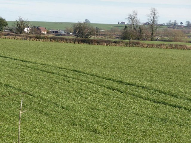
Netherseal is a civil parish located in the county of Leicestershire, England. Situated in the heart of the National Forest, it lies approximately 8 miles southwest of the town of Swadlincote. With a population of around 1,200 people, it is a small and tranquil village known for its picturesque countryside.

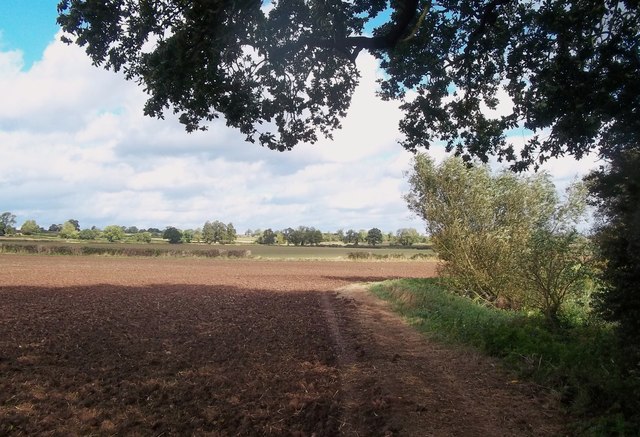
Netherseal boasts a rich history, dating back to the Domesday Book of 1086. It was originally a farming community, and remnants of its agricultural past can still be seen today, with several traditional farms scattered throughout the parish.

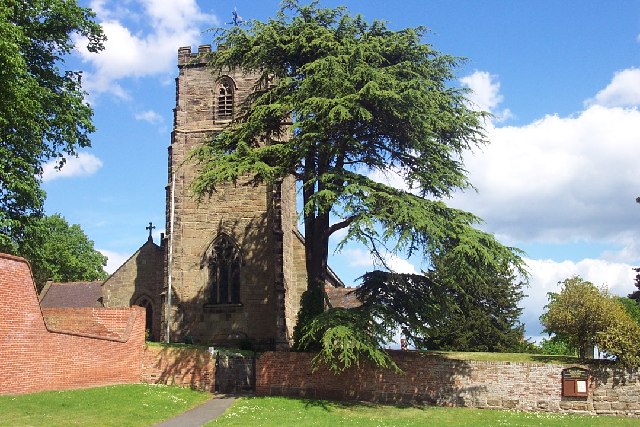
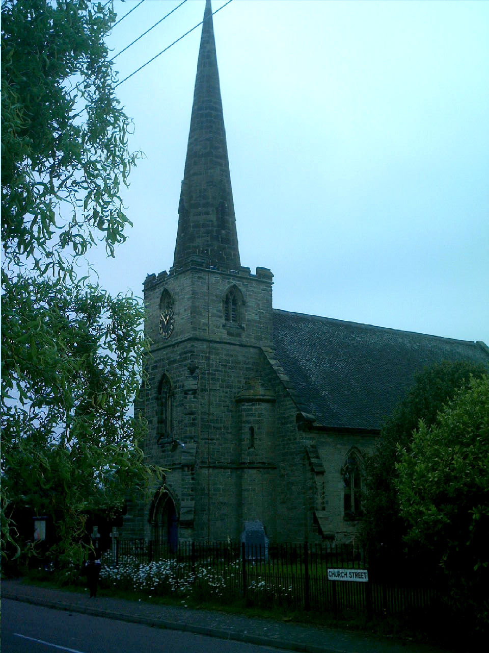
The village itself is characterized by its charming cottages and historic buildings. The local church, St. Peter's, is a notable landmark, renowned for its stunning architecture and intricate stained glass windows. The parish also has a primary school, providing education for the local children.

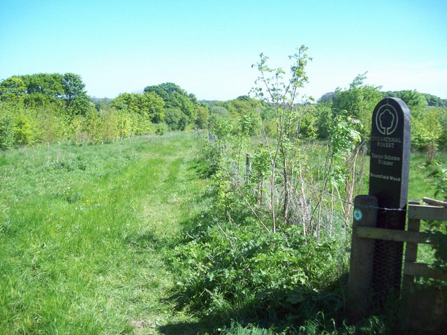
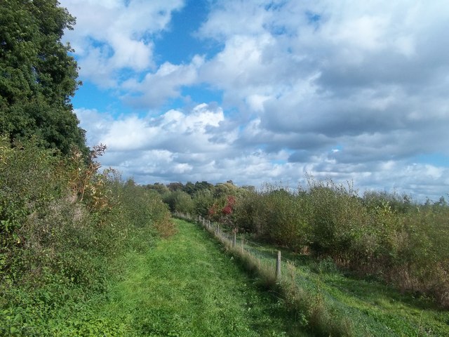
Surrounded by natural beauty, Netherseal offers plenty of opportunities for outdoor activities. The National Forest, which encompasses the area, provides numerous walking and cycling trails, allowing residents and visitors to explore the picturesque woodland and meadows. The nearby Moira Furnace Museum and Country Park is a popular attraction, offering insight into the area's industrial heritage.

Despite its small size, Netherseal is well-connected to neighboring towns and cities. The A444 road runs through the village, providing easy access to nearby Swadlincote and Burton upon Trent. The public transportation system is also reliable, with regular bus services connecting Netherseal to surrounding areas.

Overall, Netherseal is a quaint and idyllic village, offering a peaceful retreat for its residents and visitors alike.

If you have any feedback on the listing, please let us know in the comments section below.
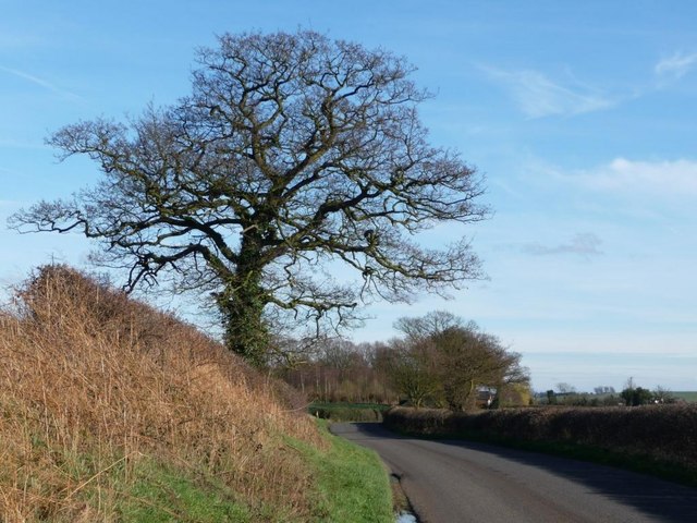
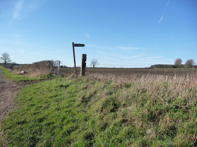
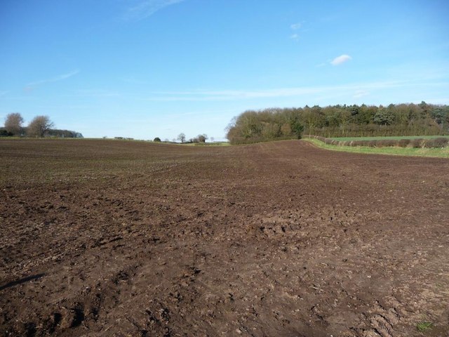
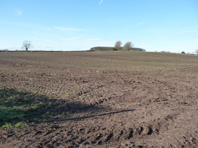
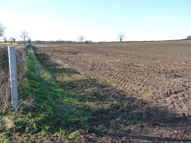
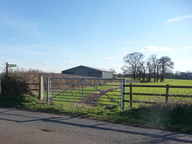
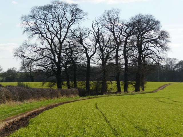
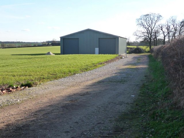
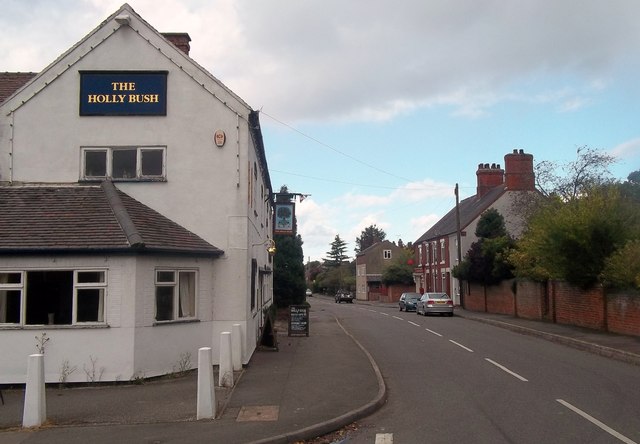
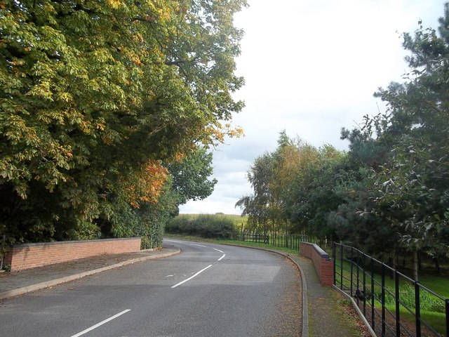
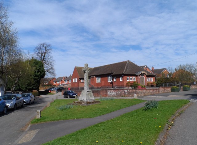
Netherseal Images

Images are sourced within 2km of 52.716323/-1.591928 or Grid Reference SK2713. Thanks to Geograph Open Source API. All images are credited.

Winter tree On Gorsey Lane, looking towards Acresford.
Winter tree
On Gorsey Lane, looking towards Acresford.
Footpath sign on Gorsey Lane With a bench for weary walkers.
Footpath sign on Gorsey Lane
With a bench for weary walkers.
Footpath across ploughed ground Heading towards Mount Pleasant Wood, and eventually Overseal. Perhaps walkers keep to the field edge?
Footpath across ploughed ground
Heading towards Mount Pleasant Wood, and eventually Overseal. Perhaps walkers keep to the field edge?
The gentle slopes of Cadborough Hill Seen from Gorsey Lane.
The gentle slopes of Cadborough Hill
Seen from Gorsey Lane.
Large ploughed field On the north side of Gorsey Lane.
Large ploughed field
On the north side of Gorsey Lane.
Footpath sign on Gorsey Lane Pointing out the path to Netherseal.
Footpath sign on Gorsey Lane
Pointing out the path to Netherseal.
Clump of trees alongside the Netherseal footpath Seen from Gorsey Lane.
Clump of trees alongside the Netherseal footpath
Seen from Gorsey Lane.
New track and new barn Neither are shown on First Series 1:50,000 map.
New track and new barn
Neither are shown on First Series 1:50,000 map.
Pasture on the south side of Gorsey Lane Acresford is in the distance.
Pasture on the south side of Gorsey Lane
Acresford is in the distance.
Broomfield Wood near Overseal Another product of the National Forest tender scheme, this area of new woodland is situated to the south west of Overseal.
Broomfield Wood near Overseal
Another product of the National Forest tender scheme, this area of new woodland is situated to the south west of Overseal.
Footpath Skirting Potter's Wood Public footpath heading in the direction of Grangewood Hall.
Footpath Skirting Potter's Wood
Public footpath heading in the direction of Grangewood Hall.
The River Mease near Seal Fields Farm 3 counties share this grid square. This picture was taken from Derbyshire with Leicestershire on the opposite bank. Further along the far bank we are over into Staffordshire.
The River Mease near Seal Fields Farm
3 counties share this grid square. This picture was taken from Derbyshire with Leicestershire on the opposite bank. Further along the far bank we are over into Staffordshire.
Riverside Bridleway Approaching Netherseal Ploughed field and riverbank pictured here on a pleasant midweek day in early October.
Riverside Bridleway Approaching Netherseal
Ploughed field and riverbank pictured here on a pleasant midweek day in early October.
Nether Wood near Netherseal An area of infant woodland sandwiched between a bridleway and the River Mease.
Nether Wood near Netherseal
An area of infant woodland sandwiched between a bridleway and the River Mease.
Main Street in Netherseal This picture was taken from the southern edge of the grid square near the junction with Dog Lane and shows the village post office on the right of the street as well as the obvious pub.
Main Street in Netherseal
This picture was taken from the southern edge of the grid square near the junction with Dog Lane and shows the village post office on the right of the street as well as the obvious pub.
Church Street in Netherseal Heading east out of the village. Beyond the bend Church Street becomes Acresford Road.
Church Street in Netherseal
Heading east out of the village. Beyond the bend Church Street becomes Acresford Road.
St Peter's, Netherseal Originally C13-C15 but largely rebuilt in 1877 under the direction of Arthur Blomfield (probably best known for designing the Royal College of Music).
St Peter's, Netherseal
Originally C13-C15 but largely rebuilt in 1877 under the direction of Arthur Blomfield (probably best known for designing the Royal College of Music).
War memorial and school, Netherseal
Show me another place!

Netherseal is located at Grid Ref: SK2713 (Lat: 52.716323, Lng: -1.591928)

Administrative County: Derbyshire

District: South Derbyshire

Police Authority: Derbyshire

What 3 Words

///arranged.grapes.curly. Near Donisthorpe, Leicestershire

Nearby Locations

Netherseal

Related Wikis

Netherseal

Netherseal (or 'Netherseale') is a village and civil parish in the English county of Derbyshire, situated in the South Derbyshire district. Together with...

St Peter's Church, Netherseal

St Peter's Church, Netherseal is a Grade II* listed parish church in the Church of England in Netherseal, Derbyshire. == History == The church dates from...

River Mease SSSI

River Mease SSSI is a 23.0 hectares (57 acres) biological Site of Special Scientific Interest. It is a stretch of the River Mease and its tributary Gilwiskaw...

Chilcote

Chilcote is a village and civil parish in the North West Leicestershire district of Leicestershire, England. Until 1897 it was in Derbyshire. The parish...

Acresford

Acresford is a hamlet in North West Leicestershire, it shares civil parish authorities with Donisthorpe and Oakthorpe and forms part of the border with...

Coton in the Elms

Coton in the Elms is a village and parish in the English county of Derbyshire. At 70 miles (110 km) from the coast, it is one of the furthest places in...

All Saints' Church, Lullington

All Saints’ Church, Lullington is a Grade II* listed parish church in the Church of England in Lullington, Derbyshire. == History == The church dates...

Lullington, Derbyshire

Lullington is a village and civil parish in the district of South Derbyshire in Derbyshire, England. The population of the civil parish at the 2011 Census...

Have you been to Netherseal?

Leave your review of Netherseal below (or comments, questions and feedback).