Mursley

Civil Parish in Buckinghamshire

England

Mursley

East West Railway construction This bridge taking Horwood Road over the rebuilt Bletchley to Bicester railway line has been refurbished and the parapets extended in height to about 2m which seems to be the rule at the moment.  No more looking over railway bridges without a step ladder any more!  The trackbed beneath has had new drainage installed, been regraded and is now ready for new railway tracks.
East West Railway construction Credit: Bob Walters

Mursley is a civil parish located in Buckinghamshire, England. It is situated about six miles southeast of the town of Buckingham and approximately 50 miles northwest of London. The parish covers an area of around 1,300 acres and has a population of approximately 600 people.

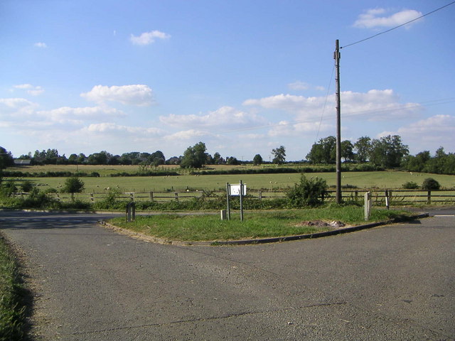
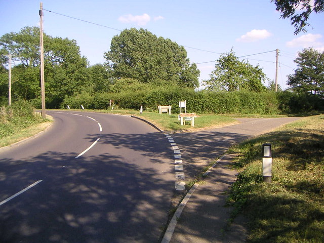
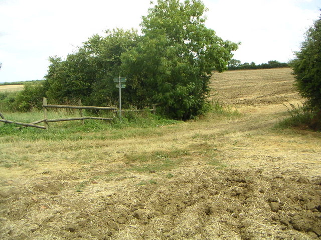
The village of Mursley is known for its picturesque and rural setting, with beautiful countryside surrounding it. The area is characterized by rolling hills, farmland, and small woodlands, offering a tranquil and peaceful environment for residents and visitors alike.

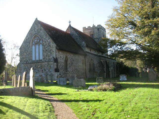
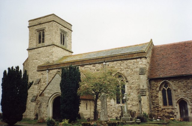
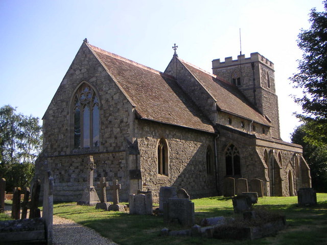
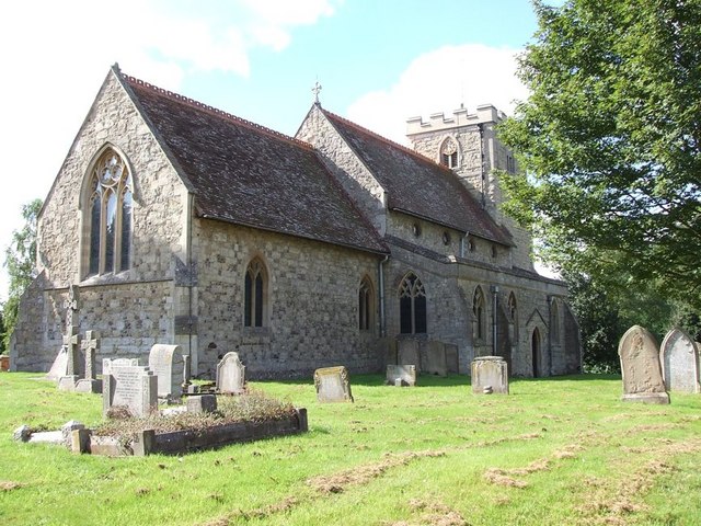
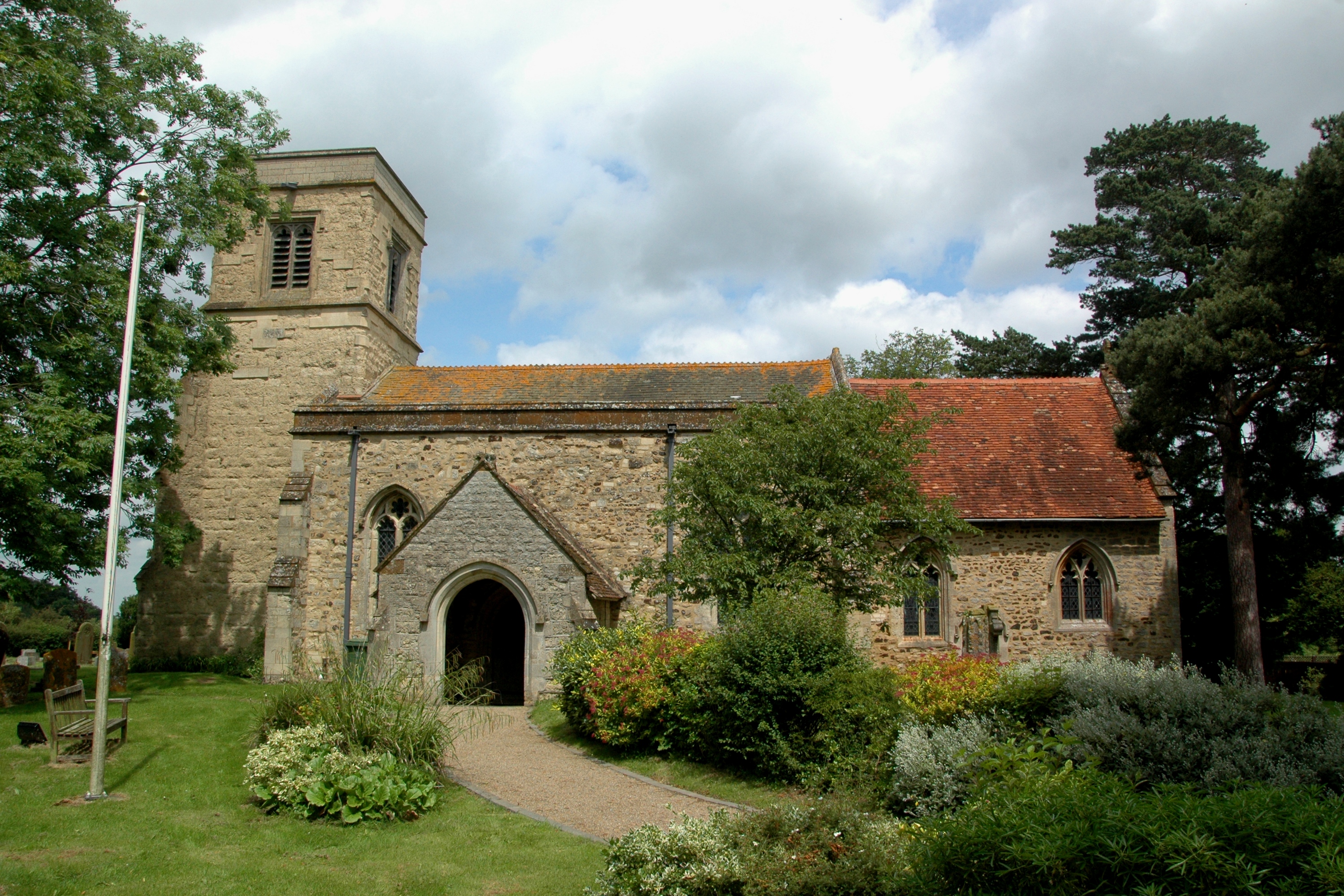
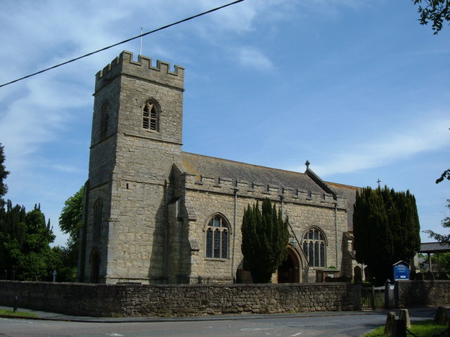
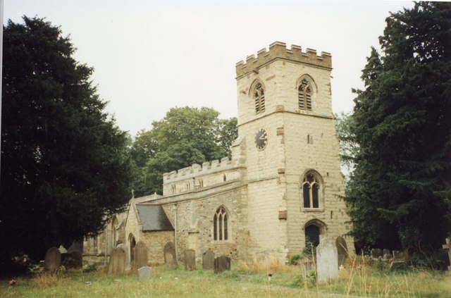
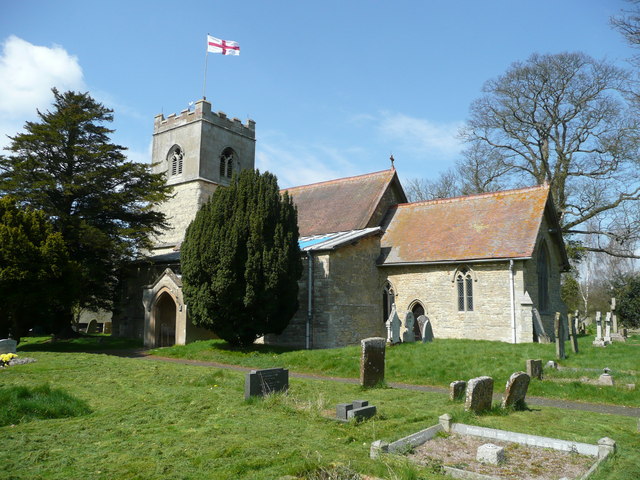
The village itself has a long history, dating back to medieval times, and it still retains much of its traditional charm. The architecture in Mursley is predominantly made up of stone and brick buildings, with some dating back several centuries. The parish church, St. Mary's, is a notable landmark and is known for its beautiful stained glass windows.

Mursley has a strong sense of community, with various clubs and organizations that bring residents together. The village has a primary school, a village hall, and a pub, which serves as a gathering place for locals. Additionally, there are several footpaths and bridleways in the area, providing opportunities for outdoor activities such as walking and horse riding.

Despite its rural location, Mursley benefits from good transport links. The A421 road runs nearby, connecting the village to Milton Keynes and Buckingham. This enables residents to easily access amenities and services in larger towns, while still enjoying the peacefulness of village life.

If you have any feedback on the listing, please let us know in the comments section below.
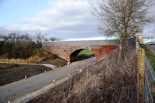
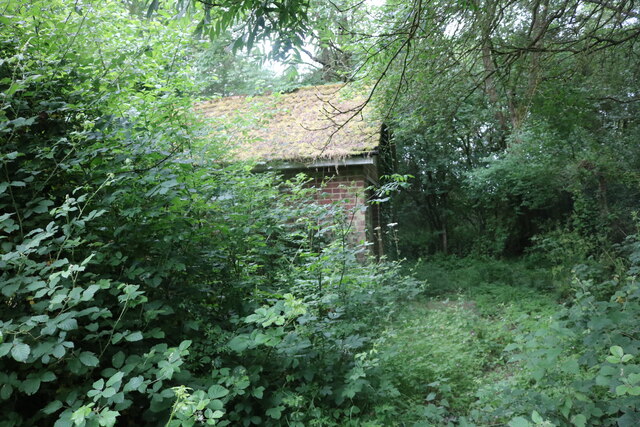
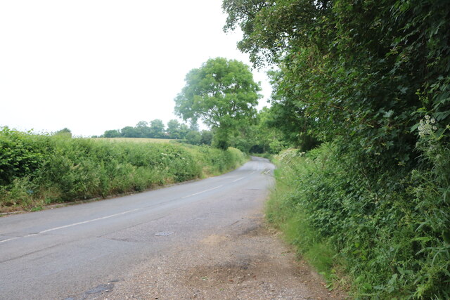
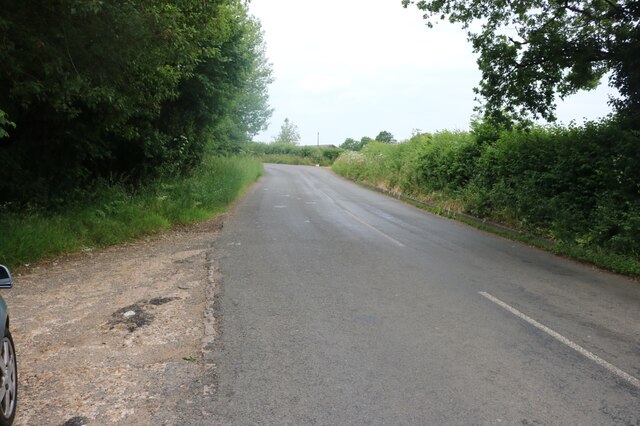
Mursley Images

Images are sourced within 2km of 51.956969/-0.806952 or Grid Reference SP8229. Thanks to Geograph Open Source API. All images are credited.

East West Railway construction This bridge taking Horwood Road over the rebuilt Bletchley to Bicester railway line has been refurbished and the parapets extended in height to about 2m which seems to be the rule at the moment.  No more looking over railway bridges without a step ladder any more!  The trackbed beneath has had new drainage installed, been regraded and is now ready for new railway tracks.
East West Railway construction
This bridge taking Horwood Road over the rebuilt Bletchley to Bicester railway line has been refurbished and the parapets extended in height to about 2m which seems to be the rule at the moment. No more looking over railway bridges without a step ladder any more! The trackbed beneath has had new drainage installed, been regraded and is now ready for new railway tracks.
Drayton Parslow pumping station It is now disused and planning has been applied for to build a house on the plot.
Drayton Parslow pumping station
It is now disused and planning has been applied for to build a house on the plot.
Main Road, Drayton Parslow
St Mary the Virgin Church, Mursley
Mursley Water Tower Struck by a bomber during WWII, this fine water tower survived and still stands over the village like a visitor from another world!
Mursley Water Tower
Struck by a bomber during WWII, this fine water tower survived and still stands over the village like a visitor from another world!
Drayton Parslow church This is Holy Trinity Church.
Drayton Parslow church
This is Holy Trinity Church.
Junction and fields A view to the south of Cooks Lane, Mursley, taken from the Drayton Road / Stewkley Lane Junction.
Junction and fields
A view to the south of Cooks Lane, Mursley, taken from the Drayton Road / Stewkley Lane Junction.
Countryside Road Junction The junction of Drayton Road and Stewkley Lane heading south from Mursley.
Countryside Road Junction
The junction of Drayton Road and Stewkley Lane heading south from Mursley.
Stewkley Lane A view down Stewkley Lane towards Cold Harbour and Ashdean Farm.
Stewkley Lane
A view down Stewkley Lane towards Cold Harbour and Ashdean Farm.
Mursley Church The church in Mursley, which I believe is the Church of St Mary.
Mursley Church
The church in Mursley, which I believe is the Church of St Mary.
Antenna Masts 2 Radio and mobile phone masts just outside of Mursley on the old road to Salden.
Antenna Masts
2 Radio and mobile phone masts just outside of Mursley on the old road to Salden.
Communications Masts Communications Masts at Mursley Hill
Communications Masts
Communications Masts at Mursley Hill
Barn at Sharndown Equine Clinic A barn just across from the rest of the farm buildings
Barn at Sharndown Equine Clinic
A barn just across from the rest of the farm buildings
Potash Nursery Just down the road towards Stewkley from the original farm site stands the nursery.  This is the home that's on-site.
Potash Nursery
Just down the road towards Stewkley from the original farm site stands the nursery. This is the home that's on-site.
Footpath Crossways A footpath crossing point deep off the road, north of Drayton Parslow.
Footpath Crossways
A footpath crossing point deep off the road, north of Drayton Parslow.
Church of St. Mary the Virgin, Mursley More information about Mursley's C14th church of St. Mary here: <span class="nowrap"><a title="http://www.british-history.ac.uk/report.asp?compid=42588#s4" rel="nofollow ugc noopener" href="http://www.british-history.ac.uk/report.asp?compid=42588#s4">Link</a><img style="margin-left:2px;" alt="External link" title="External link - shift click to open in new window" src="https://s1.geograph.org.uk/img/external.png" width="10" height="10"/></span>
Church of St. Mary the Virgin, Mursley
More information about Mursley's C14th church of St. Mary here: LinkExternal link
Mursley Village Green The village green is a small area of common land in this typically English village, at the junction of Waddon Road, Station Road and Main Street.
Mursley Village Green
The village green is a small area of common land in this typically English village, at the junction of Waddon Road, Station Road and Main Street.
Show me another place!

Mursley is located at Grid Ref: SP8229 (Lat: 51.956969, Lng: -0.806952)

Unitary Authority: Buckinghamshire

Police Authority: Thames Valley

What 3 Words

///situated.staples.diets. Near Newton Longville, Buckinghamshire

Nearby Locations

Salden Mursley

Related Wikis

Mursley

Mursley is a small village in and also a civil parish in Buckinghamshire, England. It is located about three miles east of Winslow and about seven miles...

Varsity Line

The Varsity Line was the main railway line that linked the English university cities of Oxford and Cambridge, operated by the London and North Western...

Drayton Parslow

Drayton Parslow is a village and civil parish in Buckinghamshire, England, about 3.5 miles (5.6 km) south of Bletchley, within the Buckinghamshire Council...

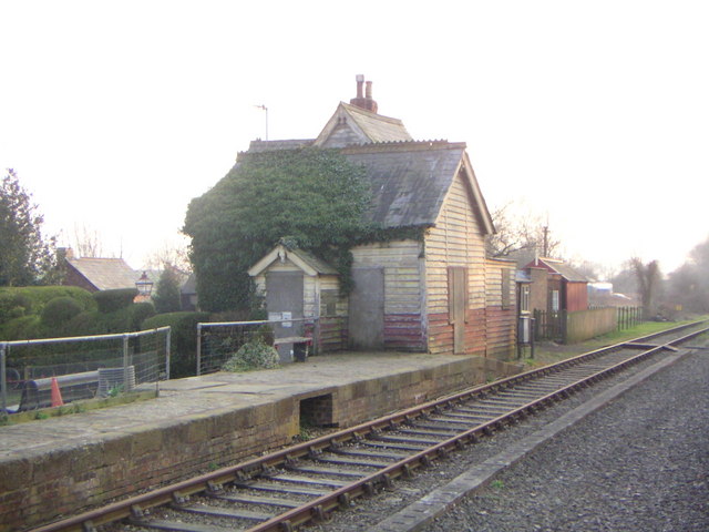
Swanbourne railway station

Swanbourne was a railway station that served the villages of Swanbourne, Little Horwood and Mursley in north Buckinghamshire, England. It was on the mothballed...

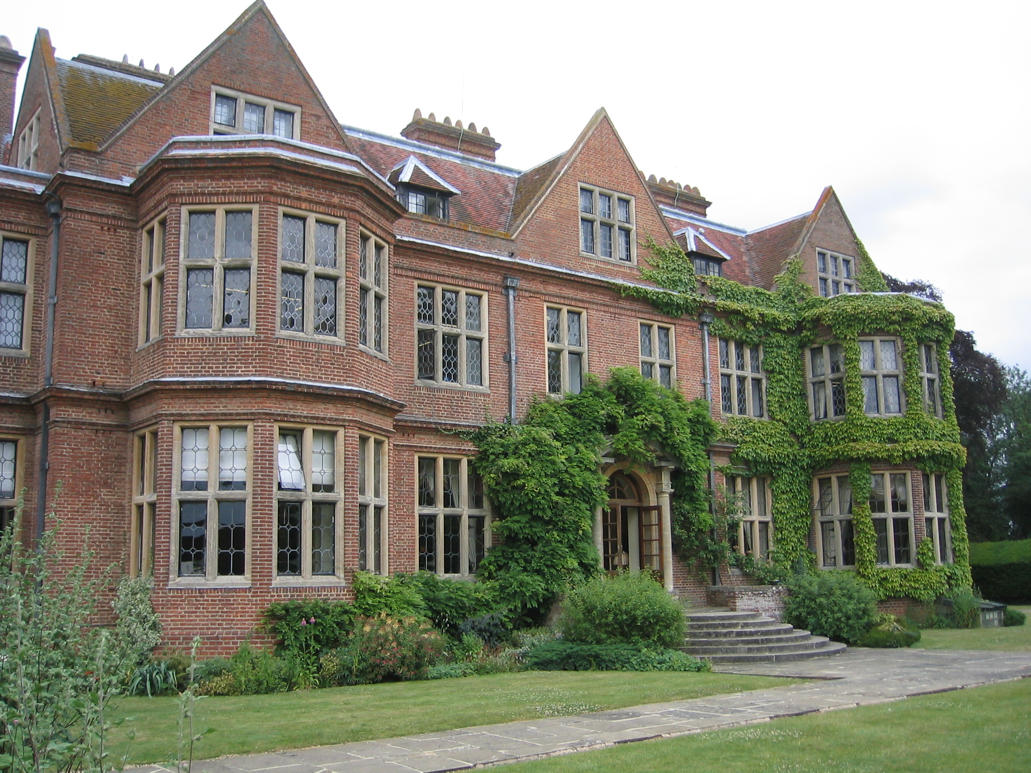
De Vere Horwood Estate

Horwood House lies 0.5-mile (0.80 km) south east of the village of Little Horwood in Buckinghamshire. This Grade II listed building mansion is a comparatively...

Swanbourne

Swanbourne is a village and civil parish in the unitary authority area of Buckinghamshire, England. It lies about two miles (3.2 km) east of Winslow and...

Newton Longville

Newton Longville is a village and civil parish in Buckinghamshire, England, within the Buckinghamshire Council unitary authority area. The village is about...

Little Horwood

Little Horwood is a village and civil parish in Buckinghamshire, England, within the Buckinghamshire Council unitary authority area. The village is about...

Nearby Amenities

Located within 500m of 51.956969,-0.806952
Man Made: water_tower
Lat/Long: 51.9554853/-0.8125135
Man Made: tower
Tower Type: communication
Lat/Long: 51.9537125/-0.8020931
Man Made: tower
Tower Type: communication
Lat/Long: 51.9533389/-0.8027154
The data included in this document is from www.openstreetmap.org. The data is made available under ODbL.

Have you been to Mursley?

Leave your review of Mursley below (or comments, questions and feedback).