Mountsorrel
Civil Parish in Leicestershire Charnwood
England
Mountsorrel
Mountsorrel is a civil parish located in Leicestershire, England. Situated on the eastern bank of the River Soar, it is a small village that forms part of the Charnwood district. The parish covers an area of approximately 6 square miles and has a population of around 6,000 residents.
Historically, Mountsorrel was known for its quarries, which were a significant source of granite and contributed to the growth and development of the village. Today, evidence of this industry can still be seen in the form of old quarry workings and a heritage railway that was once used to transport the granite.
The village itself has a charming and picturesque character, with many of its buildings dating back to the 17th and 18th centuries. It boasts a range of amenities, including local shops, pubs, and a primary school, making it a self-sufficient community.
Nature enthusiasts will find plenty to explore in Mountsorrel, thanks to its close proximity to the River Soar and the nearby Bradgate Park. The park offers beautiful walking trails and is home to a variety of wildlife, including deer.
Transport links in Mountsorrel are well-established, with regular bus services connecting the village to nearby towns and cities. The A6 road runs through the parish, providing easy access to Leicester and Loughborough.
Overall, Mountsorrel is a charming and picturesque civil parish that offers a peaceful and close-knit community, combined with easy access to amenities and natural attractions.
If you have any feedback on the listing, please let us know in the comments section below.
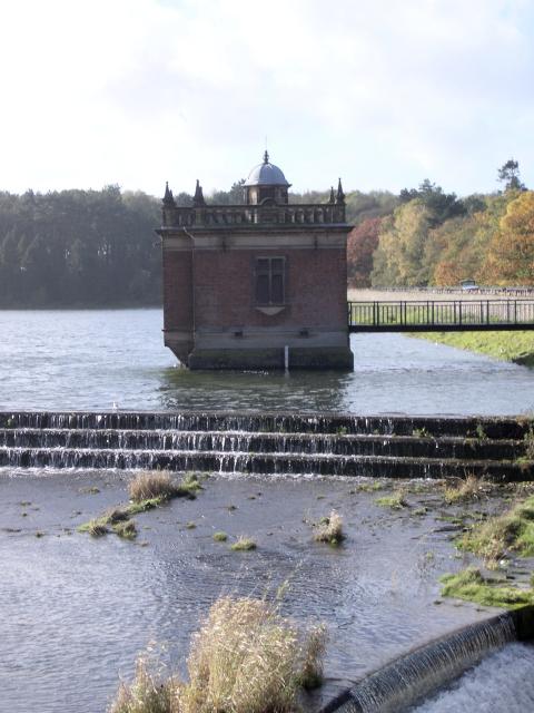
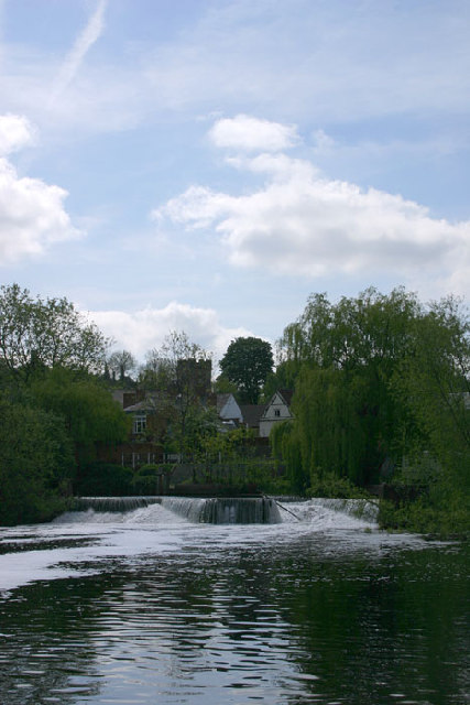
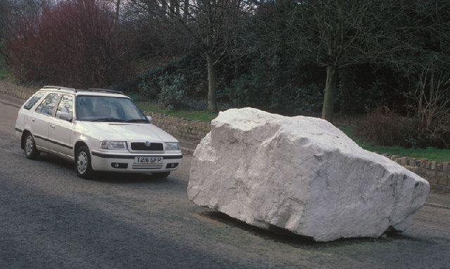
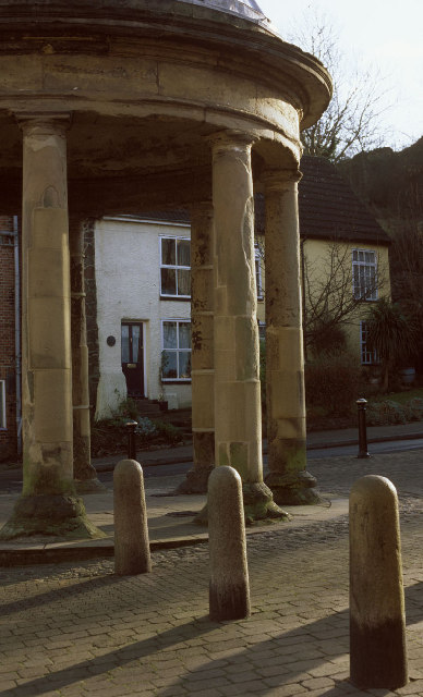
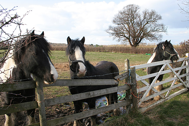
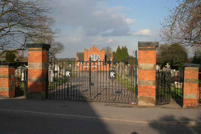
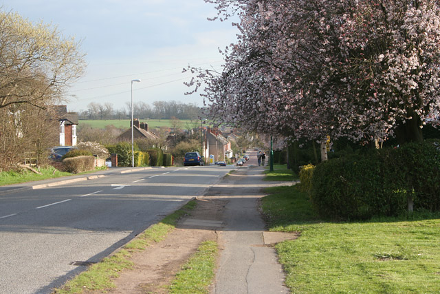
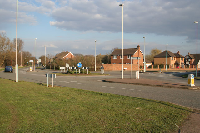
Mountsorrel Images
Images are sourced within 2km of 52.723039/-1.148548 or Grid Reference SK5714. Thanks to Geograph Open Source API. All images are credited.


Mountsorrel is located at Grid Ref: SK5714 (Lat: 52.723039, Lng: -1.148548)
Administrative County: Leicestershire
District: Charnwood
Police Authority: Leicestershire
What 3 Words
///binds.heads.riverbed. Near Mountsorrel, Leicestershire
Nearby Locations
Related Wikis
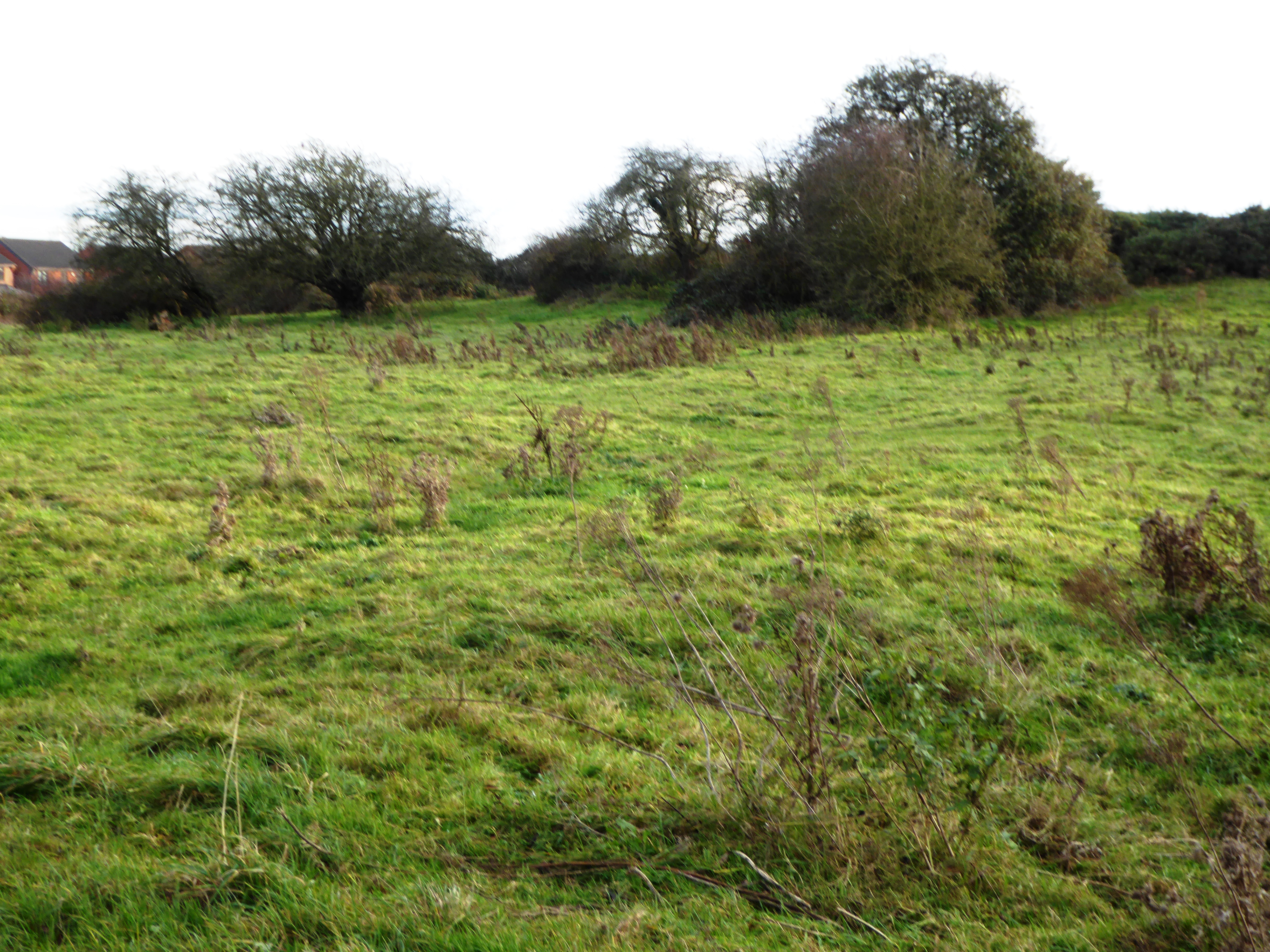
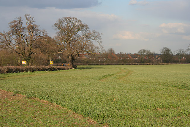
Halstead Road Centenary Pasture
Halstead Road Centenary Pasture is a 3.2-hectare (7.9-acre) local nature reserve in Mountsorrel, Leicestershire. It is owned and managed by Charnwood...

Main Quarry, Mountsorrel
Main Quarry or Castle Hill Quarry is a 14.7 hectares (36 acres) geological Site of Special Scientific Interest in Mountsorrel in Leicestershire. It is...
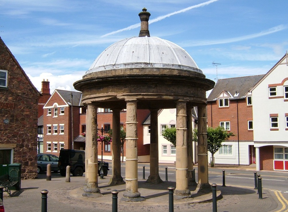
Mountsorrel
Mountsorrel is a village in Leicestershire on the River Soar, just south of Loughborough with a population in 2001 of 6,662 inhabitants, increasing to...

Stonehurst Family Farm and Motor Museum
The Stonehurst Family Farm and Motor Museum is a working farm and a motor museum located in the village of Mountsorrel, Leicestershire. The farm won the...

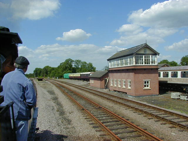
Mountsorrel Railway
The Mountsorrel Railway was a network of industrial railway lines that served the granite quarries which dominate the Leicestershire village of Mountsorrel...
Rothley Imperial F.C.
Rothley Imperial Football Club is a football club based in Rothley, Leicestershire England. They are currently members of the Leicestershire Senior League...

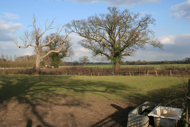
Mountsorrel Meadows
Mountsorrel Meadows is a 12.6-hectare (31-acre) nature reserve on the eastern outskirts of Mountsorrel in Leicestershire. It is purchased by the Leicestershire...
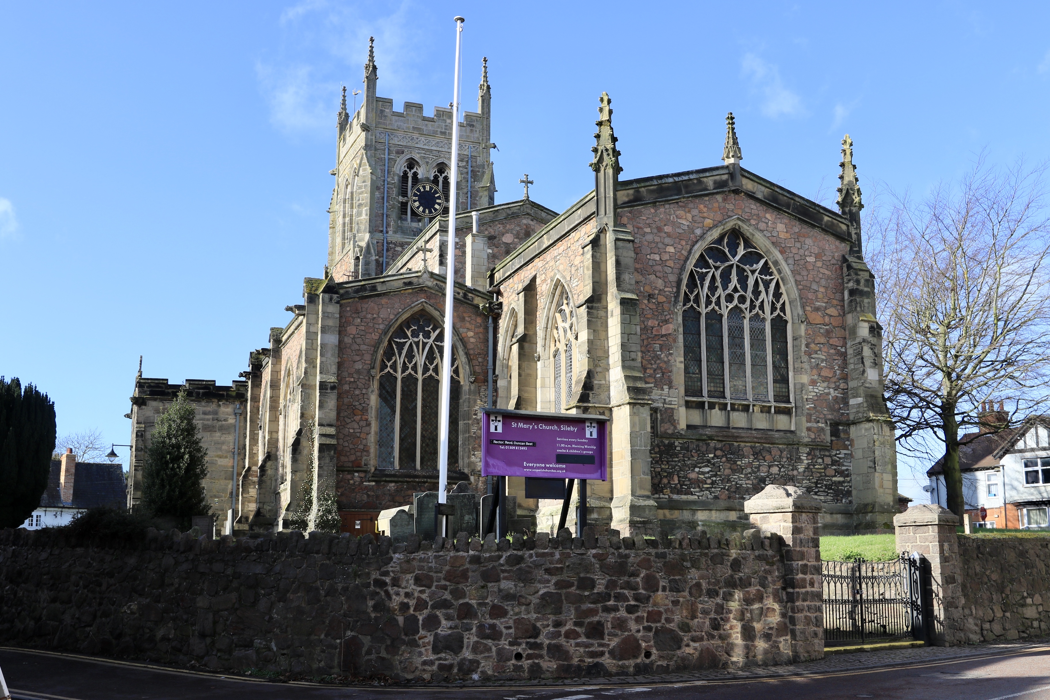
St Mary's Church, Sileby
St Mary's Church, Sileby is a parish church in the Church of England Diocese of Leicester in Sileby, Leicestershire. == History == The church dates from...
Nearby Amenities
Located within 500m of 52.723039,-1.148548Have you been to Mountsorrel?
Leave your review of Mountsorrel below (or comments, questions and feedback).