Moss

Civil Parish in Yorkshire Doncaster

England

Moss

Path beside Flashley Carr Lane
Path beside Flashley Carr Lane Credit: Chris Morgan

Moss is a civil parish located in the county of Yorkshire, England. Situated in the district of Craven, Moss covers an area of approximately 5 square miles. It is a rural area characterized by rolling hills, open fields, and scattered farmhouses.

The parish is sparsely populated, with a population of around 200 residents. The village of Moss serves as the main settlement within the parish, offering basic amenities such as a local shop and a primary school. The village is known for its close-knit community and friendly atmosphere.

The landscape of Moss is dominated by agriculture, with many farms dotting the countryside. The fertile soil and favorable climate make it an ideal location for farming, and the area is known for its livestock and dairy production. The picturesque scenery also attracts tourists who enjoy hiking and exploring the countryside.

Moss is surrounded by several other parishes, including Giggleswick, Rathmell, and Ingleton. The nearby River Ribble runs through the parish, offering opportunities for fishing and boating.

The parish has a rich history, with evidence of human habitation dating back to prehistoric times. The area has seen various influences over the years, including the Romans and the Vikings. Today, the parish retains its rural charm and serves as a tranquil retreat for those seeking a peaceful countryside experience.

If you have any feedback on the listing, please let us know in the comments section below.
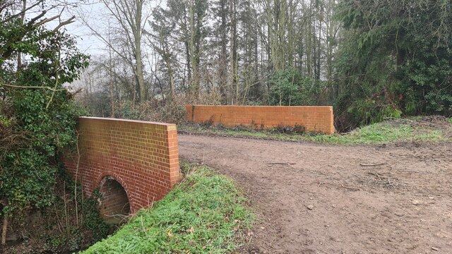
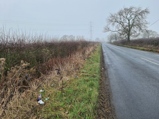
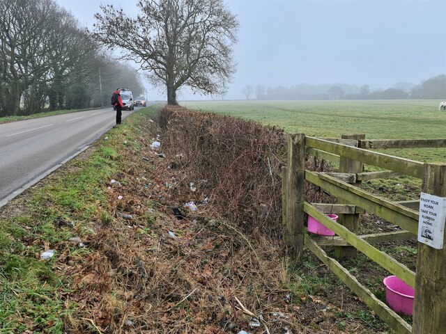
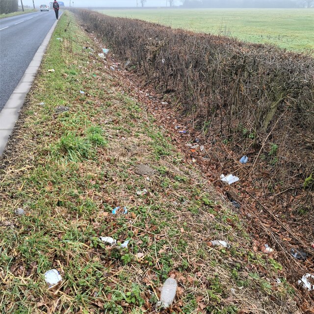
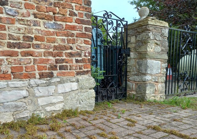
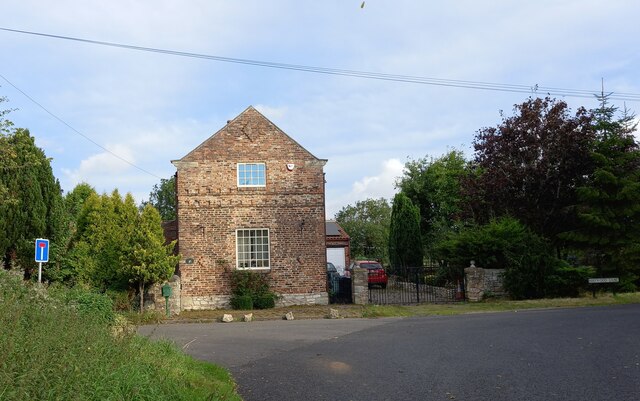
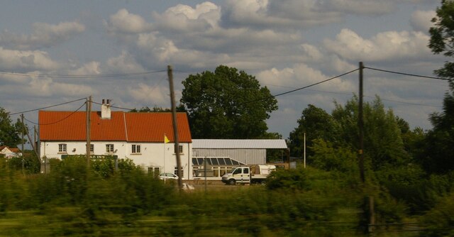
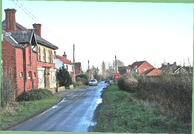
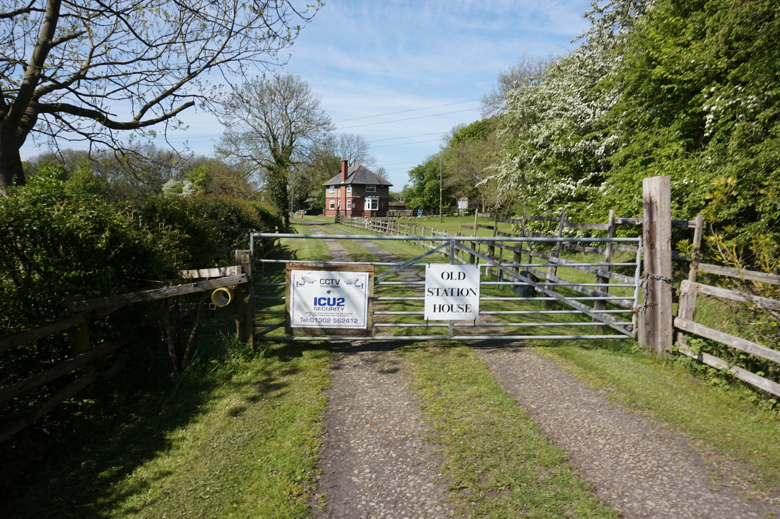
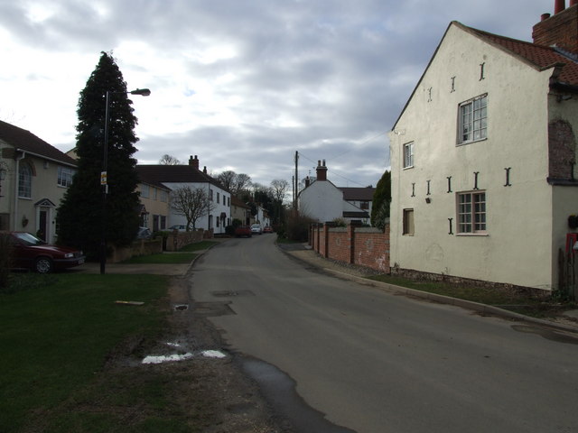
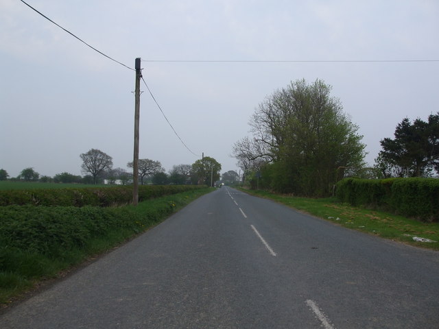
Moss Images

Images are sourced within 2km of 53.615461/-1.098436 or Grid Reference SE5913. Thanks to Geograph Open Source API. All images are credited.

Path beside Flashley Carr Lane
Bridge over Flashley Carr Drain
Open road - for littering The litter in the foreground is typical of the entire roadside, more dense on this side of the road
Open road - for littering
The litter in the foreground is typical of the entire roadside, more dense on this side of the road
Enjoy your roam, take your rubbish home Says the sign. With no effect in deterring the offenders. It's not roaming walkers causing the problem. Hereabouts it seems residents mustn't have refuse collections so they load it into motor vehicles and chuck it out of their passenger windows as they drive by. Lots of them, for miles. The picture can't capture just how much there is.
Enjoy your roam, take your rubbish home
Says the sign. With no effect in deterring the offenders. It's not roaming walkers causing the problem. Hereabouts it seems residents mustn't have refuse collections so they load it into motor vehicles and chuck it out of their passenger windows as they drive by. Lots of them, for miles. The picture can't capture just how much there is.
The local tip! Everyone must dump their litter along this stretch of road
The local tip!
Everyone must dump their litter along this stretch of road
Hull and Barnsley and Great Central Joint Railway bridge The line below opened in 1916 and didn't last very long, all being closed by 1969, see Wiki; <span class="nowrap"><a title="https://en.wikipedia.org/wiki/Hull_and_Barnsley_and_Great_Central_Joint_Railway" rel="nofollow ugc noopener" href="https://en.wikipedia.org/wiki/Hull_and_Barnsley_and_Great_Central_Joint_Railway">Link</a><img style="margin-left:2px;" alt="External link" title="External link - shift click to open in new window" src="https://s1.geograph.org.uk/img/external.png" width="10" height="10"/></span>
Hull and Barnsley and Great Central Joint Railway bridge
The line below opened in 1916 and didn't last very long, all being closed by 1969, see Wiki; LinkExternal link
Layby on Moss Lane Looking towards Trumfleet. The road forms part of National Cycle Network route 62.
Layby on Moss Lane
Looking towards Trumfleet. The road forms part of National Cycle Network route 62.
Buildings along Moss Lane Looking along Moss Lane near Trumfleet. The road forms part of National Cycle Network route 62.
Buildings along Moss Lane
Looking along Moss Lane near Trumfleet. The road forms part of National Cycle Network route 62.
Slippery Gap Lane Running from Moss Lane to Highfield Lane.
Slippery Gap Lane
Running from Moss Lane to Highfield Lane.
Trumfleet Lane from Willow Bridge Lane Looking across the junction of Willow Bridge Lane with Trumfleet Lane. The road forms part of National Cycle Network route 62.
Trumfleet Lane from Willow Bridge Lane
Looking across the junction of Willow Bridge Lane with Trumfleet Lane. The road forms part of National Cycle Network route 62.
Horse near Willow Bridge Farm Looking along Willow Bridge Lane with an inquisitive horse by the gate. The road forms part of National Cycle Network route 62.
Horse near Willow Bridge Farm
Looking along Willow Bridge Lane with an inquisitive horse by the gate. The road forms part of National Cycle Network route 62.
Road passing Willow Bridge Farm Looking along Willow Bridge Lane as it passes the farm. The road forms part of National Cycle Network route 62.
Road passing Willow Bridge Farm
Looking along Willow Bridge Lane as it passes the farm. The road forms part of National Cycle Network route 62.
Haywood, Dove Cottage The benchmark is cut into the south-east facing wall of Dove Cottage.
Haywood, Dove Cottage
The benchmark is cut into the south-east facing wall of Dove Cottage.
Haywood, Dove Cottage A wider angle showing south-east facing wall of Dove Cottage. There is a benchmark cut into the bottom right cornerstone.
Haywood, Dove Cottage
A wider angle showing south-east facing wall of Dove Cottage. There is a benchmark cut into the bottom right cornerstone.
The Star Inn, Moss, as seen from the railway
Junction with Wrancarr Lane Looking along Moss Lane as it approaches Trumfleet. The road forms part of National Cycle Network route 62.
Junction with Wrancarr Lane
Looking along Moss Lane as it approaches Trumfleet. The road forms part of National Cycle Network route 62.
Moss Lane near Wrancarr Lane Looking along Moss Lane in Trumfleet near the junction with Wrancarr Lane. The road forms part of National Cycle Network route 62.
Moss Lane near Wrancarr Lane
Looking along Moss Lane in Trumfleet near the junction with Wrancarr Lane. The road forms part of National Cycle Network route 62.
Show me another place!

Moss is located at Grid Ref: SE5913 (Lat: 53.615461, Lng: -1.098436)

Division: West Riding

Administrative County: South Yorkshire

District: Doncaster

Police Authority: South Yorkshire

What 3 Words

///confetti.pass.returns. Near Moss, South Yorkshire

Nearby Locations

Moss

Related Wikis

Moss, South Yorkshire

Moss is a village and civil parish in the City of Doncaster in South Yorkshire, England. The population of the parish at the 2011 Census was 389, an increase...

Moss railway station

Moss railway station served the village of Moss, South Yorkshire, England from 1871 to 1953 on the East Coast Main Line. == History == The station opened...

Thorpe in Balne

Thorpe in Balne is a village and civil parish in the Metropolitan Borough of Doncaster in South Yorkshire, England. It had a population of 176 at the...

Fenwick, South Yorkshire

Fenwick is a small village and civil parish in the City of Doncaster, South Yorkshire, England, on the border with North Yorkshire. It was part of the...

Thorpe-in-Balne railway station

Thorpe-in-Balne railway station was an unopened railway station on the Hull and Barnsley and Great Central Joint Railway. It was situated about 1 mile...

Kirk Bramwith

Kirk Bramwith is a village and civil parish in the Metropolitan Borough of Doncaster in South Yorkshire, England. It had a population of 200 in 2001,...

Ea Beck

The Ea Beck, also spelled Eaubeck or Eau Beck, is a small river in South Yorkshire, England, that flows eastwards into the River Don at Thorpe-in-Balne...

Pincheon Green

Pincheon Green is a hamlet in the Metropolitan Borough of Doncaster in South Yorkshire, England. It lies in the civil parish of Sykehouse, on the border...

Nearby Amenities

Located within 500m of 53.615461,-1.098436
Generator Method: photovoltaic
Generator Output Electricity: yes
Generator Source: solar
Generator Type: solar_photovoltaic_panel
Location: roof
Power: generator
Lat/Long: 53.6181671/-1.1017032
Generator Method: photovoltaic
Generator Output Electricity: yes
Generator Source: solar
Generator Type: solar_photovoltaic_panel
Location: roof
Power: generator
Lat/Long: 53.6175164/-1.1020626
The data included in this document is from www.openstreetmap.org. The data is made available under ODbL.

Have you been to Moss?

Leave your review of Moss below (or comments, questions and feedback).