Broughton
Settlement in Lancashire Preston
England
Broughton
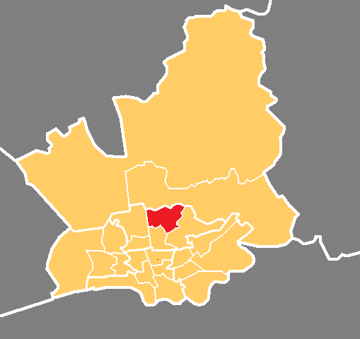
Broughton is a small village located in the county of Lancashire, England. Situated approximately 3 miles north of the city of Preston, it falls within the boundaries of the Borough of Preston. Broughton is a historic settlement with evidence of human habitation dating back to the Bronze Age.
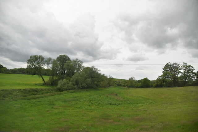
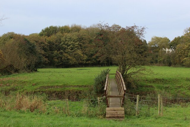
The village is known for its picturesque and rural setting, surrounded by open countryside and farmland. Broughton has a population of around 6,000 people and is characterized by a strong sense of community. The village's main focal point is the Broughton Village Square, which features several shops, local businesses, and a traditional pub.
Broughton is also home to Broughton High School, a notable secondary school that serves the surrounding area. The village offers a range of recreational facilities, including a cricket club, tennis courts, and a community center that hosts various events throughout the year.
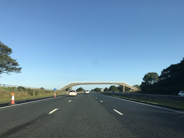
In terms of transportation, Broughton benefits from its proximity to the M6 motorway, providing convenient access to nearby cities such as Manchester and Liverpool. The village is also served by several bus routes, connecting it to surrounding towns and villages.
Overall, Broughton is a charming and close-knit village that offers a tranquil and idyllic lifestyle, while still being within easy reach of larger urban centers.
If you have any feedback on the listing, please let us know in the comments section below.
Broughton Images
Images are sourced within 2km of 53.809967/-2.72356 or Grid Reference SD5235. Thanks to Geograph Open Source API. All images are credited.


Broughton is located at Grid Ref: SD5235 (Lat: 53.809967, Lng: -2.72356)
Administrative County: Lancashire
District: Preston
Police Authority: Lancashire
What 3 Words
///golf.began.eagles. Near Goosnargh, Lancashire
Nearby Locations
Related Wikis
Broughton, Lancashire
Broughton is a village and civil parish in the City of Preston, Lancashire, England, approximately 4 miles (6 km) north of Preston city centre. According...

Broughton High School, Lancashire
Broughton High School is a coeducational secondary school located in Broughton in the English county of Lancashire.Established in 1975, it is a community...
Broughton railway station (England)
Broughton railway station served the village of Broughton, Lancashire, England, from June to November 1840 on the Lancaster and Preston Junction Railway...
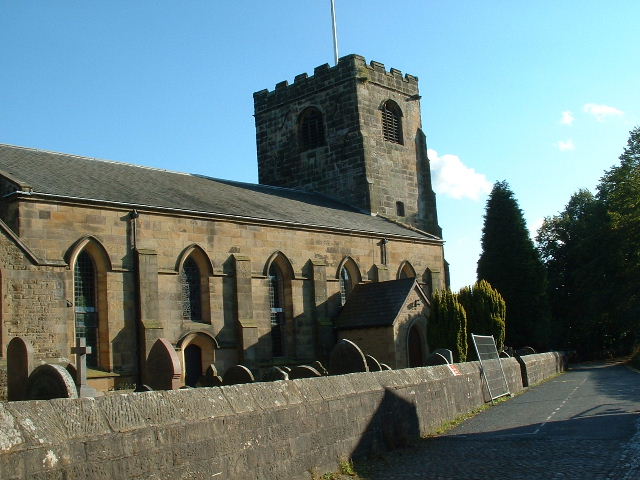
St John the Baptist's Church, Broughton
St John the Baptist's Church is in Church Lane, Broughton, Lancashire, England. It is an active Anglican parish church in the deanery of Preston, the archdeaconry...
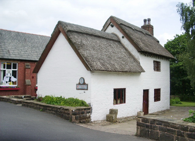
Church Cottage Museum
Church Cottage Museum is a 16th-century cottage in Broughton, City of Preston, Lancashire, England. The cottage is grade II listed and is operated as a...
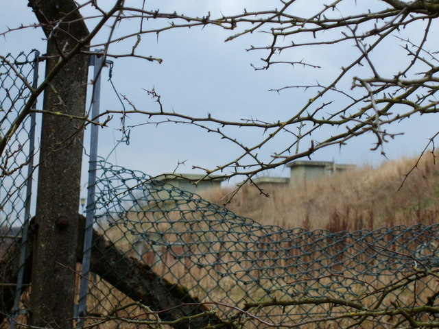
RAF Barton Hall
Royal Air Force Barton Hall or more simply RAF Barton Hall is a former Royal Air Force station situated between the villages of Barton and Broughton, near...
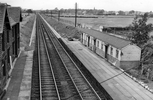
Barton and Broughton railway station
Barton and Broughton railway station served the villages of Barton and Broughton in Lancashire, England, from 1840 to 1965 on the Lancaster and Preston...
Sharoe Green
Sharoe Green () is a largely residential suburban area of Preston, Lancashire, England, and an electoral ward. It is nowadays usually considered to be...
Nearby Amenities
Located within 500m of 53.809967,-2.72356Have you been to Broughton?
Leave your review of Broughton below (or comments, questions and feedback).