Morvah
Civil Parish in Cornwall
England
Morvah

Morvah is a civil parish located in the county of Cornwall, England. Situated in the western part of the county, it is nestled between the coastal villages of Zennor and Pendeen. The parish encompasses an area of approximately 12 square kilometers and is home to a small population.
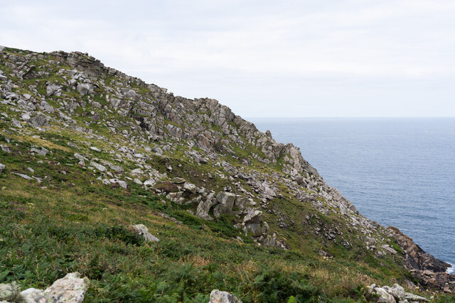
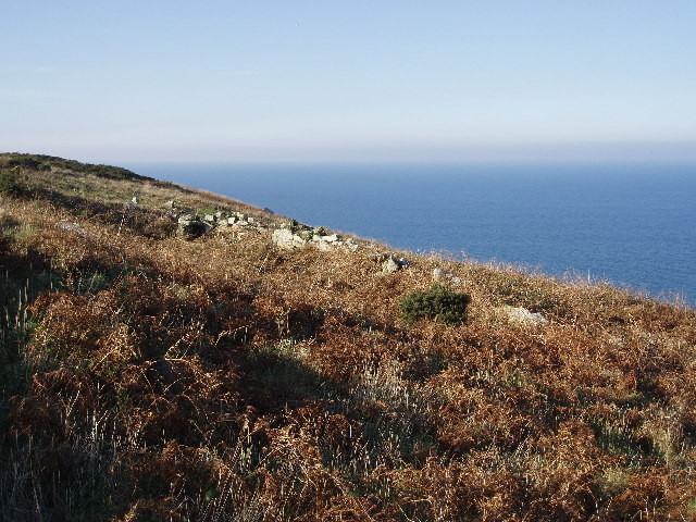
Morvah is renowned for its natural beauty and stunning landscapes. The parish is predominantly rural, with rolling hills, lush fields, and breathtaking coastal cliffs. It offers visitors and residents alike a tranquil and picturesque environment to explore and enjoy.
The area is rich in history, with evidence of human settlement dating back to the Bronze Age. The parish boasts several archaeological sites, including ancient burial mounds and stone circles, providing a glimpse into its ancient past.
Morvah is also famous for its mining heritage, which played a significant role in the area's economy during the 19th and early 20th centuries. The remains of old mine buildings and engine houses can still be seen dotting the landscape, serving as a reminder of the area's industrial past.
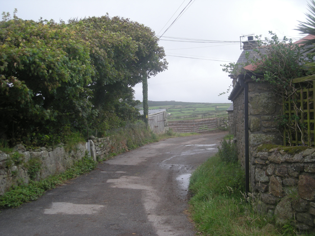
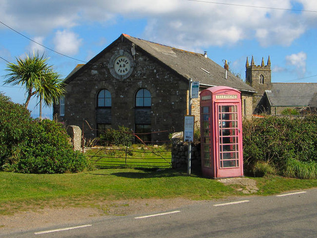
The community of Morvah is small but close-knit, with a strong sense of community spirit. The parish is served by a local church and a handful of small businesses, including a pub and a craft shop.
Overall, Morvah offers a peaceful and idyllic setting for those seeking a retreat from the hustle and bustle of modern life. Its natural beauty, rich history, and friendly community make it a hidden gem in the heart of Cornwall.
If you have any feedback on the listing, please let us know in the comments section below.
Morvah Images
Images are sourced within 2km of 50.162661/-5.62829 or Grid Reference SW4035. Thanks to Geograph Open Source API. All images are credited.


Morvah is located at Grid Ref: SW4035 (Lat: 50.162661, Lng: -5.62829)
Unitary Authority: Cornwall
Police Authority: Devon & Cornwall
What 3 Words
///munch.joints.baked. Near St Just, Cornwall
Related Wikis

Trevowhan
Trevowhan is a hamlet in the parish of Morvah, Cornwall, England, UK, and lies 0.5 miles east of the village of Morvah.A terrace of a house and two cottages...
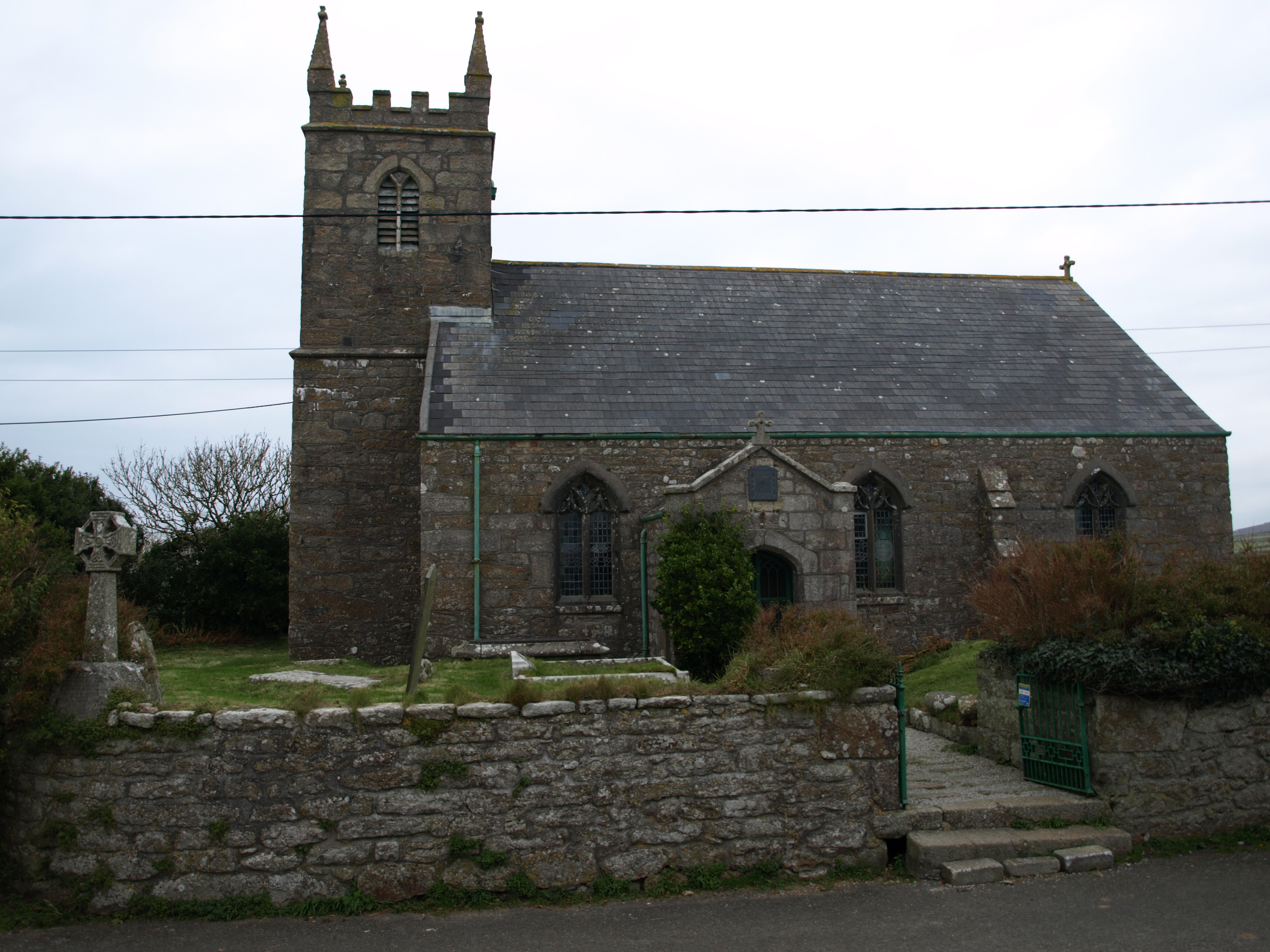
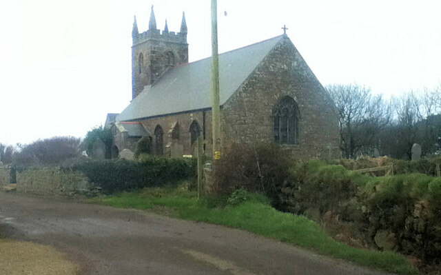
St Bridget's Church, Morvah
St Bridget's Church, Morvah is a parish church in the Church of England Diocese of Truro located in Morvah, Cornwall, UK. It was licensed for divine service...
Morvah
Morvah is a civil parish and village on the Penwith peninsula in west Cornwall, England, United Kingdom. == Geography == The village is centred approximately...

Rosemergy
Rosemergy is a hamlet near Morvah in Cornwall, England, United Kingdom on the B3306 road between St Ives and St Just. == References ==
Nearby Amenities
Located within 500m of 50.162661,-5.62829Have you been to Morvah?
Leave your review of Morvah below (or comments, questions and feedback).