Morborne
Civil Parish in Huntingdonshire Huntingdonshire
England
Morborne
Morborne is a civil parish located in Huntingdonshire, Cambridgeshire, England. It is a small village situated approximately 3 miles west of Ramsey and 14 miles north of Huntingdon. Morborne is a rural area known for its picturesque landscapes and tranquil surroundings.
The village has a long history, with evidence of human presence dating back to the Roman times. The name "Morborne" is derived from the Old English words "mor" and "burna," meaning "marshy stream." This reflects the village's location near the marshy fenland areas in the region.
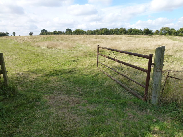
Morborne is characterized by its charming cottages and traditional architecture, providing a glimpse into the region's rural heritage. The village is surrounded by open farmland, offering beautiful views of the countryside. It is a popular destination for nature lovers and those seeking a peaceful retreat from the bustling city life.
Though small in size, Morborne is a close-knit community with a strong sense of community spirit. The village has a local church, St. John the Baptist, which serves as a focal point for religious gatherings and community events. The church dates back to the 13th century and features stunning stained glass windows and a picturesque churchyard.
Overall, Morborne offers a charming and idyllic setting for residents and visitors alike. Its rural beauty, combined with its rich history and sense of community, make it a hidden gem in Huntingdonshire.
If you have any feedback on the listing, please let us know in the comments section below.
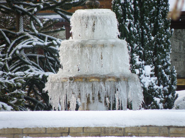
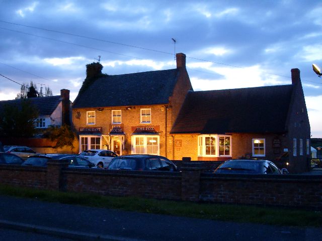
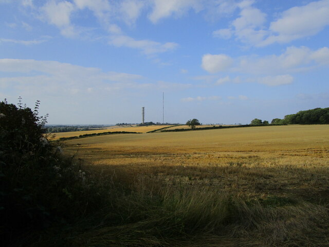
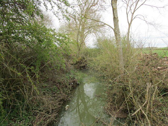
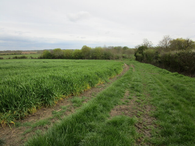
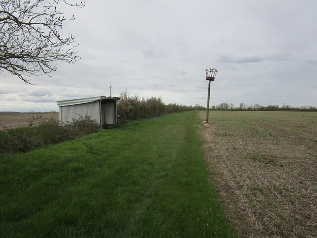
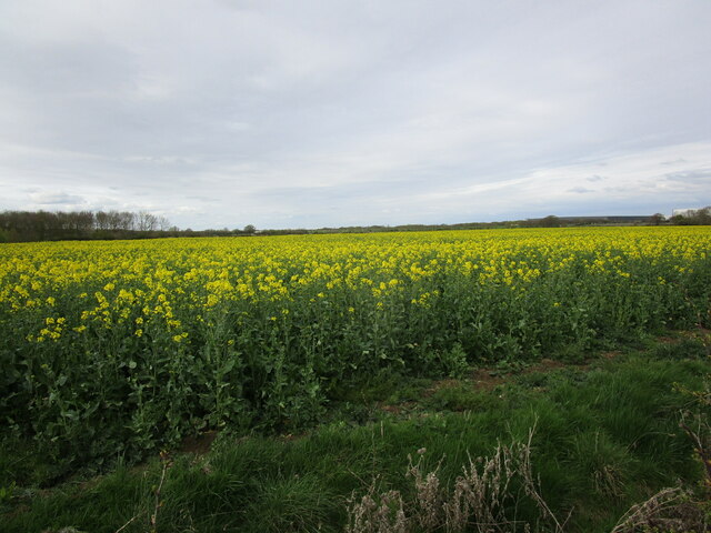
Morborne Images
Images are sourced within 2km of 52.508257/-0.327615 or Grid Reference TL1391. Thanks to Geograph Open Source API. All images are credited.


Morborne is located at Grid Ref: TL1391 (Lat: 52.508257, Lng: -0.327615)
Administrative County: Cambridgeshire
District: Huntingdonshire
Police Authority: Cambridgeshire
What 3 Words
///disco.user.storybook. Near Stilton, Cambridgeshire
Nearby Locations
Related Wikis

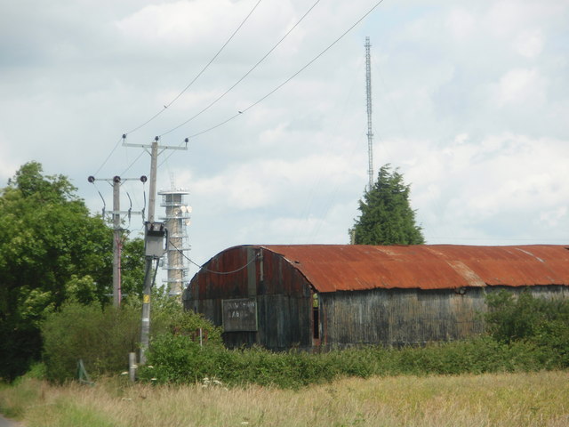
Peterborough transmitting station
The Peterborough transmitting station is a broadcasting and telecommunications facility at Morborne Hill, near Peterborough, England (grid reference TL127913...

Morborne
Morborne is a village and civil parish in Cambridgeshire, England. Morborne lies approximately 5 miles (8 km) south-west of Peterborough, near Yaxley....
Haddon, Cambridgeshire
Haddon is a village and civil parish in Cambridgeshire, England. Haddon lies approximately 5 miles (8 km) south-west of Peterborough city centre, near...
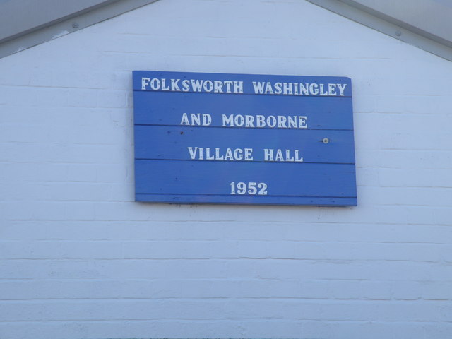
Folksworth and Washingley
Folksworth and Washingley is a civil parish near Peterborough in Cambridgeshire, England, comprising the villages of Folksworth and Washingley.The parish...
Nearby Amenities
Located within 500m of 52.508257,-0.327615Have you been to Morborne?
Leave your review of Morborne below (or comments, questions and feedback).