Minchinhampton
Civil Parish in Gloucestershire Stroud
England
Minchinhampton
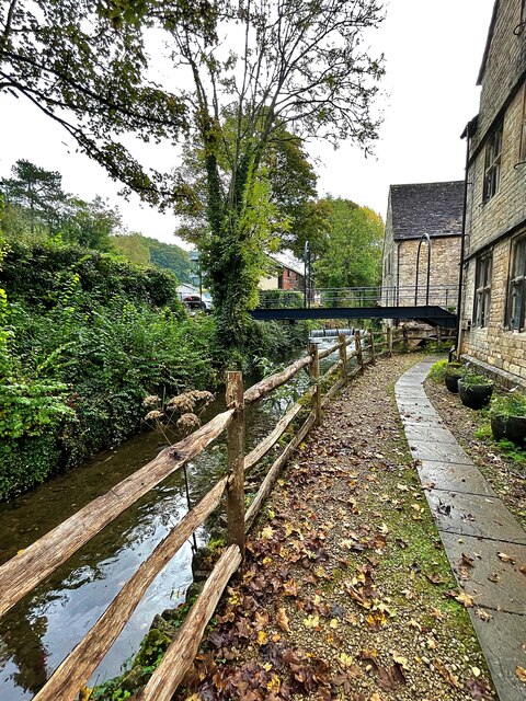
Minchinhampton is a civil parish located in the county of Gloucestershire, England. Situated on the eastern edge of the Cotswolds, it is surrounded by picturesque countryside and offers stunning views of the Stroud Valley. The parish covers an area of approximately 4 square miles and is home to a population of around 4,000 residents.
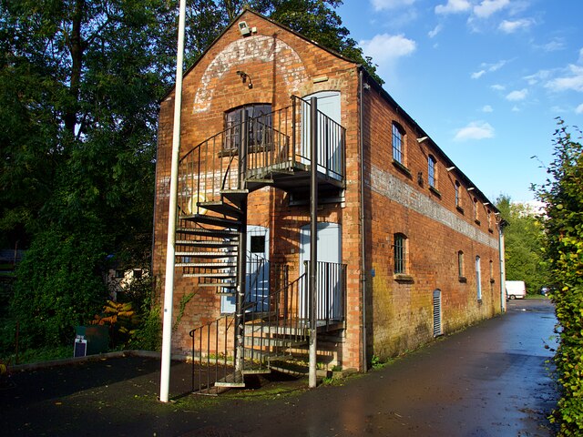
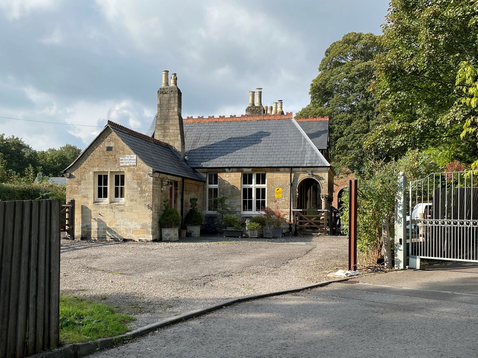
The village of Minchinhampton itself is a charming and historic settlement, with a rich heritage dating back to the medieval period. It features a variety of architectural styles, from timber-framed cottages to Georgian and Victorian buildings. The village center is characterized by its narrow streets and traditional stone houses, creating a quaint and idyllic atmosphere.
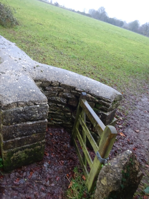
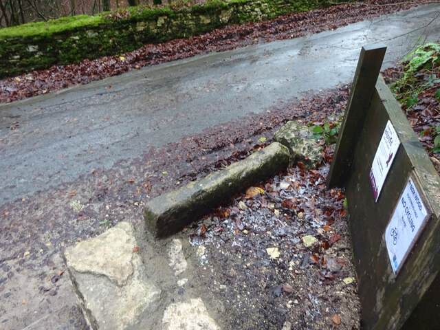
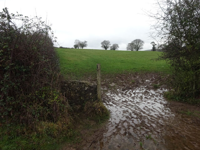
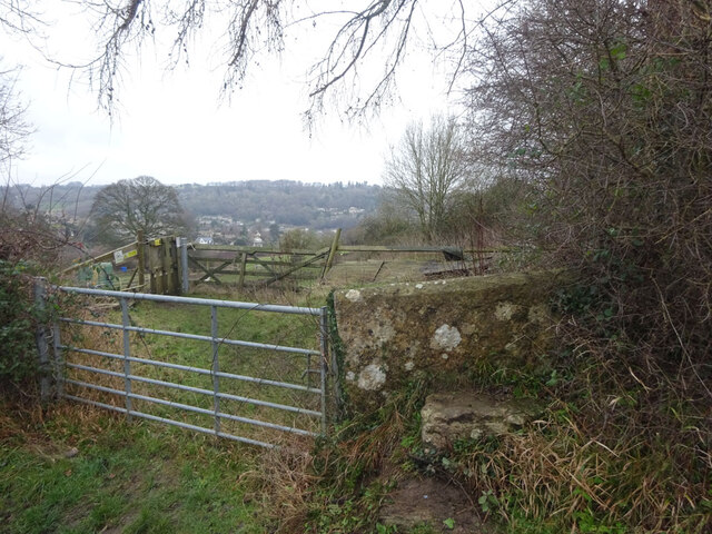
One of the notable landmarks in Minchinhampton is the 17th-century Market House, which serves as a reminder of the village's market town past. The nearby Minchinhampton Common is a vast open space that covers over 600 acres and is managed by the National Trust. It is a popular destination for outdoor activities such as walking, horse riding, and kite flying.
The community in Minchinhampton is close-knit and vibrant, with a range of amenities and services available to residents. These include a primary school, village hall, post office, and several shops and pubs. The parish also has a strong sense of community spirit, with various events and festivals organized throughout the year.
In summary, Minchinhampton is a picturesque civil parish in Gloucestershire, offering a blend of natural beauty, historical charm, and a welcoming community. It is a perfect destination for those seeking a tranquil countryside retreat.
If you have any feedback on the listing, please let us know in the comments section below.
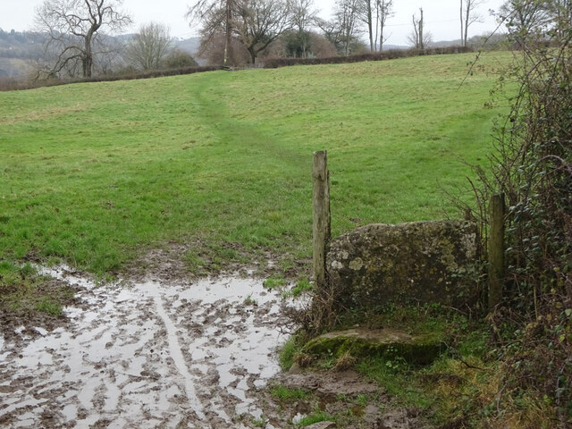
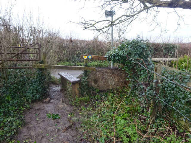
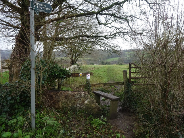
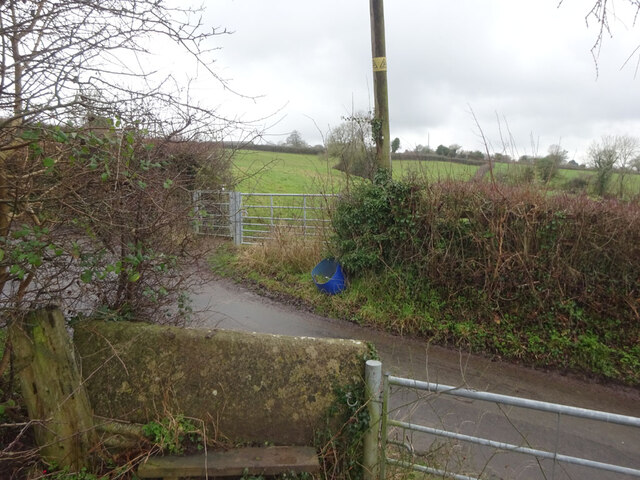
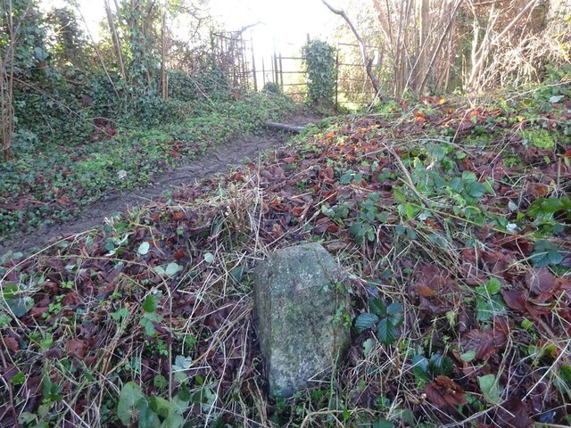
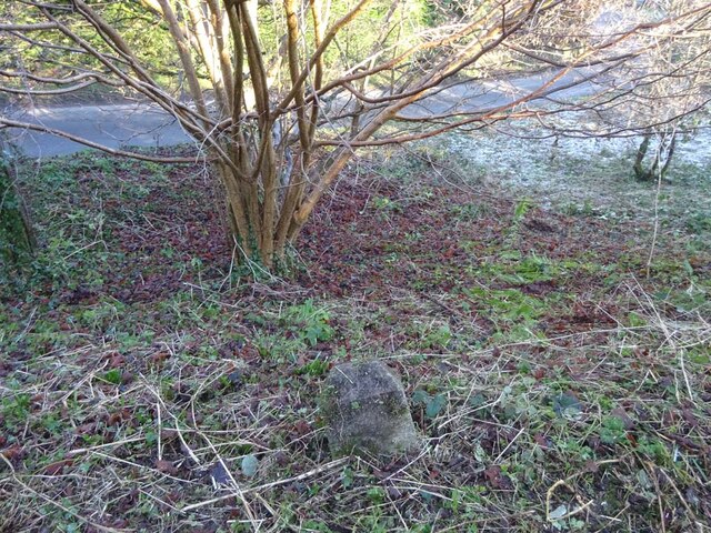
Minchinhampton Images
Images are sourced within 2km of 51.705105/-2.21872 or Grid Reference SO8400. Thanks to Geograph Open Source API. All images are credited.
Minchinhampton is located at Grid Ref: SO8400 (Lat: 51.705105, Lng: -2.21872)
Administrative County: Gloucestershire
District: Stroud
Police Authority: Gloucestershire
What 3 Words
///snapping.wires.guests. Near Nailsworth, Gloucestershire
Nearby Locations
Related Wikis

Amberley, Gloucestershire
Amberley, Gloucestershire is a small village about two miles south of Stroud in Gloucestershire, England. It is situated on the edge of Minchinhampton...

Minchinhampton Common
Minchinhampton Common (grid reference SO855010) is a 182.7-hectare (451-acre) biological and geological Site of Special Scientific Interest in Gloucestershire...
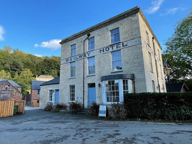
Nailsworth railway station
Nailsworth railway station served the town of Nailsworth in Gloucestershire, England and was the terminus of the 9.3 km-long Stonehouse and Nailsworth...

Box, Gloucestershire
Box is a small village in Gloucestershire, England. It is in the civil parish of Minchinhampton, and is located 3 miles (4.8 km) south of Stroud and 10...

Neu-Lindsey Nature Reserve
Neu-Lindsey Nature Reserve (grid reference SO845014) is a 0.4-hectare (0.99-acre) nature reserve in Gloucestershire. The site is listed in the ‘Stroud...

Egypt Mill
Egypt Mill is a Grade II* listed building and a former mill located in Nailsworth, a market town within the Stroud district of Gloucestershire, England...
Whitstone Hundred
Whitstone was an ancient hundred of Gloucestershire, England. From the 13th century it comprised two adjacent divisions, which included the ancient parishes...

Nailsworth
Nailsworth is a town and civil parish in the Stroud District in Gloucestershire, England, lying in one of the Stroud Valleys in the Cotswolds, on the A46...
Nearby Amenities
Located within 500m of 51.705105,-2.21872Have you been to Minchinhampton?
Leave your review of Minchinhampton below (or comments, questions and feedback).