Milburn

Civil Parish in Westmorland Eden

England

Milburn

Moorland, Milburn From the north-western shoulder of Burney Hill, Cross Fell and intervening slopes are caught in late sunshine.
Moorland, Milburn Credit: Andrew Smith

Milburn is a civil parish located in the county of Westmorland, England. Situated in the Eden Valley, it lies approximately 8 miles east of Penrith and 20 miles south of Carlisle. The village of Milburn is the main settlement within the parish, which covers an area of about 15 square kilometers.

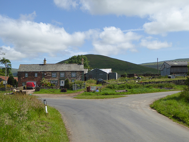
The village itself is small, with a population of around 200 people. It is characterized by traditional stone-built houses, giving it a charming and picturesque appearance. The surrounding countryside is predominantly agricultural, with rolling hills and fields providing a scenic backdrop.

Milburn has a rich history, with evidence of human settlement in the area dating back to the Roman era. The village is home to St. Cuthbert's Church, a Grade II listed building that dates back to the 12th century. The church is a prominent local landmark and adds to the historical significance of the area.

Despite its small size, Milburn offers a range of amenities to its residents. These include a primary school, a village hall, and a pub. Additionally, the village is well-connected to neighboring towns and cities via road and public transport links.

The surrounding area offers plenty of opportunities for outdoor activities, with numerous walking and cycling routes available. Milburn is also within close proximity to the Lake District National Park, providing residents with easy access to its stunning landscapes and recreational opportunities.

Overall, Milburn is a quiet and idyllic village in Westmorland, offering a peaceful rural lifestyle and a strong sense of community.

If you have any feedback on the listing, please let us know in the comments section below.
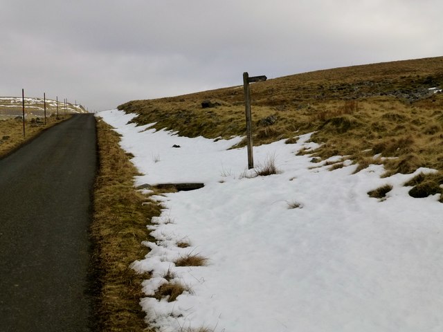
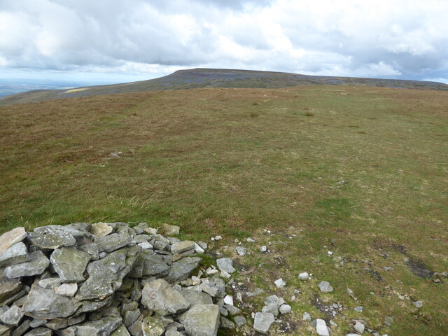
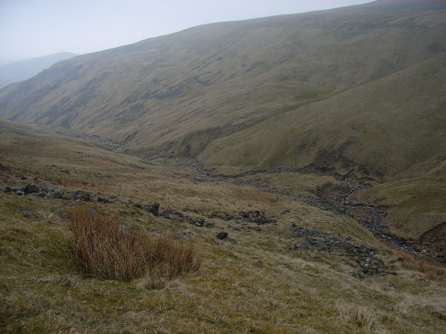
Milburn Images

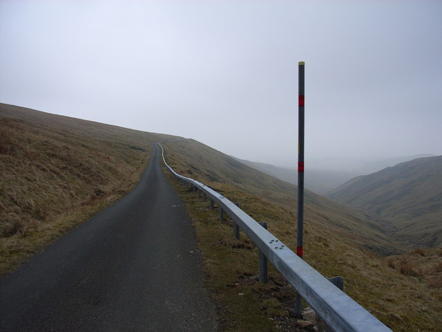
Images are sourced within 2km of 54.677414/-2.472337 or Grid Reference NY6931. Thanks to Geograph Open Source API. All images are credited.

Moorland, Milburn From the north-western shoulder of Burney Hill, Cross Fell and intervening slopes are caught in late sunshine.
Moorland, Milburn
From the north-western shoulder of Burney Hill, Cross Fell and intervening slopes are caught in late sunshine.
Footpath To Dufton Climbing the fell road to Great Dun Fell and a footpath branches off towards Dufton.
Footpath To Dufton
Climbing the fell road to Great Dun Fell and a footpath branches off towards Dufton.
The Pennine Way on Great Dun Fell
The Pennine Way on Little Dun Fell
Private road leading to Great Dun Fell Radar Station
Great Dun Fell Radar Station
On Great Dun Fell with view along Pennine Way towards Cross Fell
Silverband Mine High on the slopes of Great Dun Fell overlooking the Eden Valley. A former lead mine, worked latterly for Barytes.
Silverband Mine
High on the slopes of Great Dun Fell overlooking the Eden Valley. A former lead mine, worked latterly for Barytes.
Great Dun Fell 'golfball' The dome or 'golfball' is one of the most striking man-made features on the Eden skyline. It can be clearly seen from many miles from almost the whole valley and most high ground. The walk up to and the views from this site are spectacular and well worth the effort.
Great Dun Fell 'golfball'
The dome or 'golfball' is one of the most striking man-made features on the Eden skyline. It can be clearly seen from many miles from almost the whole valley and most high ground. The walk up to and the views from this site are spectacular and well worth the effort.
The valley of Knock Ore Gill With a glimpse of Burney Hill.
The valley of Knock Ore Gill
With a glimpse of Burney Hill.
The Dun Fell road The road providing access to Dun Fell radar station and Silverband Mine.
The Dun Fell road
The road providing access to Dun Fell radar station and Silverband Mine.
Knock Ore Gill The upper reaches of the ravine.
Knock Ore Gill
The upper reaches of the ravine.
Knock Ore Gill The road, which goes to the top of Great Dun Fell, is the highest metalled road in England. It is a private road, but public bridleway.
Knock Ore Gill
The road, which goes to the top of Great Dun Fell, is the highest metalled road in England. It is a private road, but public bridleway.
Middle Tongue Beck The beck issuing westwards from the col between  Great and Little Dun Fells.
Middle Tongue Beck
The beck issuing westwards from the col between Great and Little Dun Fells.
Stream and old level next to Silverband Mine The stream is a tributary of Middle Tongue Beck.
Stream and old level next to Silverband Mine
The stream is a tributary of Middle Tongue Beck.
Great Dun Fell : Radar Station Civil Aviation radar station. Photo taken from Cow Green Reservoir.
Great Dun Fell : Radar Station
Civil Aviation radar station. Photo taken from Cow Green Reservoir.
Show me another place!

Milburn is located at Grid Ref: NY6931 (Lat: 54.677414, Lng: -2.472337)

Administrative County: Cumbria

District: Eden

Police Authority: Cumbria

What 3 Words

///offices.growl.recover. Near Appleby-in-Westmorland, Cumbria

Nearby Locations

Milburn Iron Howe

Related Wikis

Cross Fell

Cross Fell is the highest mountain in the Pennines of Northern England and the highest point in England outside the Lake District. It is located in the...

Milburn, Cumbria

Milburn is a small village and civil parish in the Eden district of Cumbria, England. It is located on the northern side of the Eden Valley, about 9 miles...

Knock, Cumbria

Knock is a small village in the Eden district of Cumbria, England, and 1.9 km northwest of the larger village of Dufton and 3.1 km south of the village...

Dufton Pike

Dufton Pike is a hill in the northern Pennines, in Cumbria, England. It is classed as a Marilyn (a hill with topographic prominence of at least 150m)....

Nearby Amenities

Located within 500m of 54.677414,-2.472337
Iron Howe
Ele: 612.6
Man Made: survey_point
Place: locality
Source: NPE
Lat/Long: 54.6790829/-2.4755804
Natural: sinkhole
Lat/Long: 54.6805258/-2.4699878
Natural: sinkhole
Lat/Long: 54.6804212/-2.4701041
Natural: sinkhole
Lat/Long: 54.6809888/-2.4702139
Natural: sinkhole
Lat/Long: 54.6812278/-2.4700912
Natural: sinkhole
Lat/Long: 54.6812054/-2.4702268
Natural: sinkhole
Lat/Long: 54.6808619/-2.4706144
Natural: sinkhole
Lat/Long: 54.6808469/-2.4703754
Natural: sinkhole
Lat/Long: 54.6806117/-2.4702979
Natural: sinkhole
Lat/Long: 54.6801299/-2.4698134
Natural: sinkhole
Lat/Long: 54.6800851/-2.4696907
Natural: sinkhole
Lat/Long: 54.6799357/-2.4696649
Natural: sinkhole
Lat/Long: 54.6796519/-2.4696455
Natural: sinkhole
Lat/Long: 54.6795809/-2.4696003
Natural: sinkhole
Lat/Long: 54.6795212/-2.4695098
Natural: sinkhole
Lat/Long: 54.6795623/-2.4700847
Natural: sinkhole
Lat/Long: 54.6796071/-2.4702139
Natural: sinkhole
Lat/Long: 54.679271/-2.4702979
Natural: sinkhole
Lat/Long: 54.6791216/-2.4694969
Natural: sinkhole
Lat/Long: 54.6789871/-2.4693936
Natural: sinkhole
Lat/Long: 54.6788751/-2.4693677
Natural: sinkhole
Lat/Long: 54.6787792/-2.4693352
Natural: sinkhole
Lat/Long: 54.6789117/-2.4694746
Natural: sinkhole
Lat/Long: 54.6789547/-2.4699145
Natural: sinkhole
Lat/Long: 54.6789117/-2.4699486
Natural: sinkhole
Lat/Long: 54.6789404/-2.4701965
Natural: sinkhole
Lat/Long: 54.6786788/-2.4697937
Natural: sinkhole
Lat/Long: 54.6784281/-2.4691431
Natural: sinkhole
Lat/Long: 54.6785517/-2.4690687
Natural: sinkhole
Lat/Long: 54.6783672/-2.4688549
Natural: sinkhole
Lat/Long: 54.6780806/-2.4688085
Natural: sinkhole
Lat/Long: 54.6780662/-2.4685854
Natural: sinkhole
Lat/Long: 54.678188/-2.4684429
Natural: sinkhole
Lat/Long: 54.6780232/-2.4683282
Natural: sinkhole
Lat/Long: 54.6779534/-2.4684119
Natural: sinkhole
Lat/Long: 54.6778513/-2.4683747
Natural: sinkhole
Lat/Long: 54.6779444/-2.4685699
Natural: sinkhole
Lat/Long: 54.6778746/-2.4685265
Natural: sinkhole
Lat/Long: 54.6779211/-2.4691307
Natural: sinkhole
Lat/Long: 54.6781021/-2.4692484
Natural: sinkhole
Lat/Long: 54.6777922/-2.4690842
Natural: sinkhole
Lat/Long: 54.6776916/-2.4689784
Natural: sinkhole
Lat/Long: 54.6776335/-2.4689604
Natural: sinkhole
Lat/Long: 54.6775401/-2.4683396
Natural: sinkhole
Lat/Long: 54.6775235/-2.4685262
Natural: sinkhole
Lat/Long: 54.6777248/-2.4684114
Natural: sinkhole
Lat/Long: 54.6777352/-2.4682678
Natural: sinkhole
Lat/Long: 54.6780754/-2.4681279
Natural: sinkhole
Lat/Long: 54.6770805/-2.4684512
Natural: sinkhole
Lat/Long: 54.6770082/-2.4684223
Natural: sinkhole
Lat/Long: 54.6769328/-2.4681947
Natural: sinkhole
Lat/Long: 54.6768948/-2.4679977
Natural: sinkhole
Lat/Long: 54.6770377/-2.4677389
Natural: sinkhole
Lat/Long: 54.6773571/-2.4679204
Natural: sinkhole
Lat/Long: 54.6775201/-2.4676926
Natural: sinkhole
Lat/Long: 54.6777054/-2.4680518
Natural: sinkhole
Lat/Long: 54.6777791/-2.4681251
Natural: sinkhole
Lat/Long: 54.6773615/-2.4674377
Natural: sinkhole
Lat/Long: 54.6774263/-2.4675574
Natural: sinkhole
Lat/Long: 54.6772476/-2.4673411
Natural: sinkhole
Lat/Long: 54.67704/-2.4671441
Natural: sinkhole
Lat/Long: 54.6771338/-2.4670244
Natural: sinkhole
Lat/Long: 54.6769886/-2.4673411
Natural: sinkhole
Lat/Long: 54.6768703/-2.467345
Natural: sinkhole
Lat/Long: 54.6767876/-2.4673064
Natural: sinkhole
Lat/Long: 54.6768211/-2.4674763
Natural: sinkhole
Lat/Long: 54.6768479/-2.4677312
Natural: sinkhole
Lat/Long: 54.6767407/-2.4676462
Natural: sinkhole
Lat/Long: 54.6766514/-2.467708
Natural: sinkhole
Lat/Long: 54.6766269/-2.4675806
Natural: sinkhole
Lat/Long: 54.6766782/-2.4679745
Natural: sinkhole
Lat/Long: 54.6766983/-2.4679398
Natural: sinkhole
Lat/Long: 54.6766358/-2.4673025
Natural: sinkhole
Lat/Long: 54.676609/-2.4672986
Natural: sinkhole
Lat/Long: 54.6767921/-2.4669974
Natural: sinkhole
Lat/Long: 54.6768368/-2.4667695
Natural: sinkhole
Lat/Long: 54.6768792/-2.4667425
Natural: sinkhole
Lat/Long: 54.6770221/-2.4669201
Natural: sinkhole
Lat/Long: 54.6766938/-2.4666614
Natural: sinkhole
Lat/Long: 54.6765554/-2.4665532
Natural: sinkhole
Lat/Long: 54.6765688/-2.4670128
Natural: sinkhole
Lat/Long: 54.6764839/-2.4669897
Natural: sinkhole
Lat/Long: 54.6764075/-2.4670392
Natural: sinkhole
Lat/Long: 54.676494/-2.4672984
Natural: sinkhole
Lat/Long: 54.6765343/-2.4671728
Natural: sinkhole
Lat/Long: 54.6765873/-2.4671509
Natural: sinkhole
Lat/Long: 54.6764847/-2.4670592
Natural: sinkhole
Lat/Long: 54.6764064/-2.4667402
Natural: sinkhole
Lat/Long: 54.6762752/-2.466872
Natural: sinkhole
Lat/Long: 54.6762486/-2.4667827
Natural: sinkhole
Lat/Long: 54.6762086/-2.466587
Natural: sinkhole
Lat/Long: 54.6761953/-2.466207
Natural: sinkhole
Lat/Long: 54.6761803/-2.4661264
Natural: sinkhole
Lat/Long: 54.6763351/-2.4657205
Natural: sinkhole
Lat/Long: 54.6765348/-2.4660026
The data included in this document is from www.openstreetmap.org. The data is made available under ODbL.

Have you been to Milburn?

Leave your review of Milburn below (or comments, questions and feedback).