Middleton

Civil Parish in Yorkshire Harrogate

England

Middleton

Middleton Moor To the right is farmland, whereas by contrast to the left is rough grassland pasture now designated as access land.
Middleton Moor Credit: David Spencer

Middleton is a civil parish located in the county of Yorkshire, England. Situated in the Ryedale district, it is nestled in the heart of the Howardian Hills, an Area of Outstanding Natural Beauty. The parish covers an area of approximately 8 square miles and is home to a population of around 400 residents.

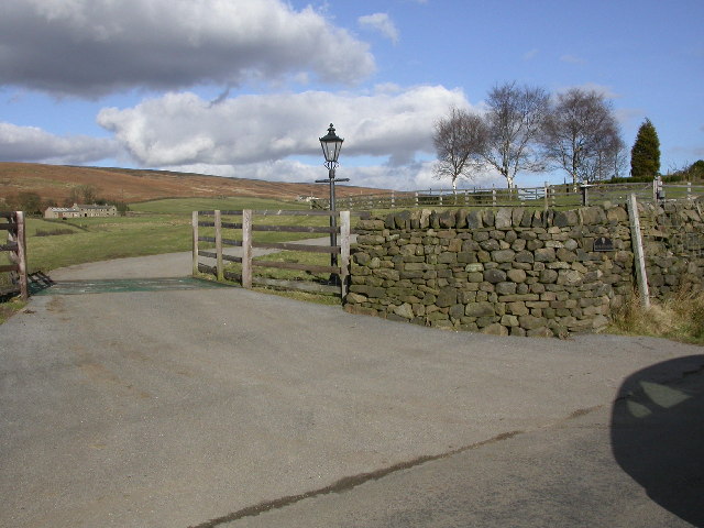
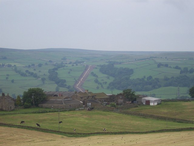
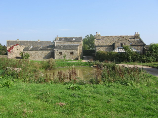
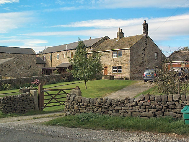
The village of Middleton is a quintessential English countryside settlement, characterized by its picturesque landscapes and charming stone-built houses. It boasts a rich history, with evidence of human habitation dating back to the Bronze Age. The All Saints Church, a Grade II listed building, stands as a testament to the village's heritage.

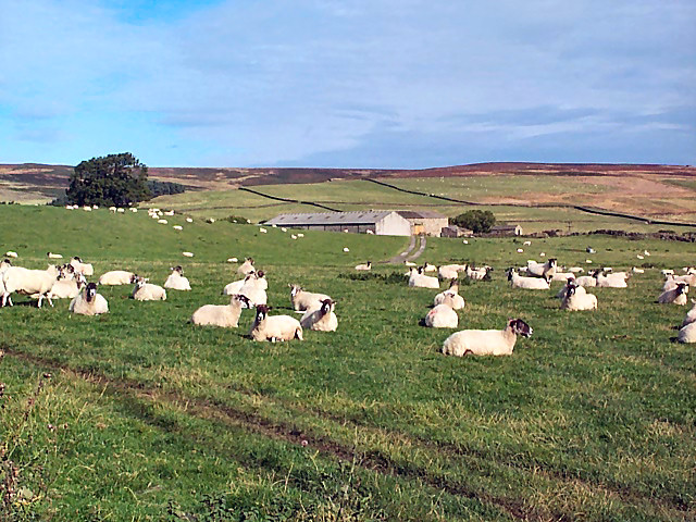
Despite its small size, Middleton offers a range of amenities to its residents and visitors. The village has a primary school, a village hall, and a pub, providing a sense of community and meeting spaces. Additionally, Middleton is well-connected to neighboring towns and cities, with good road links to York, Malton, and Scarborough.

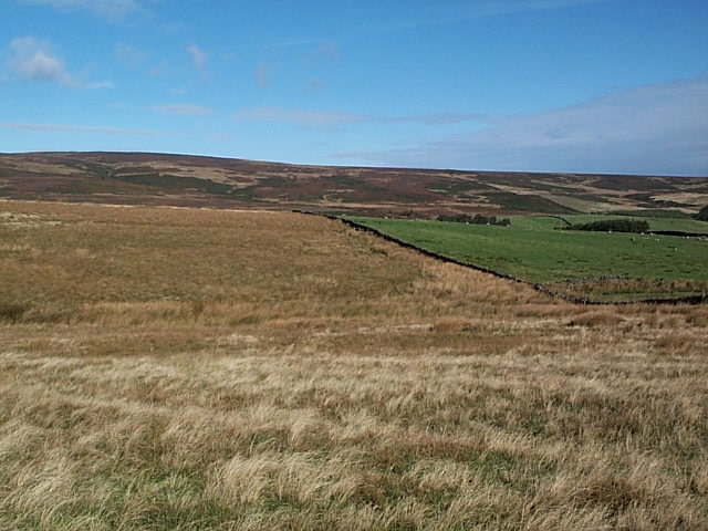
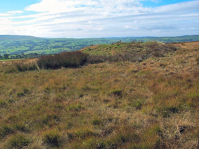
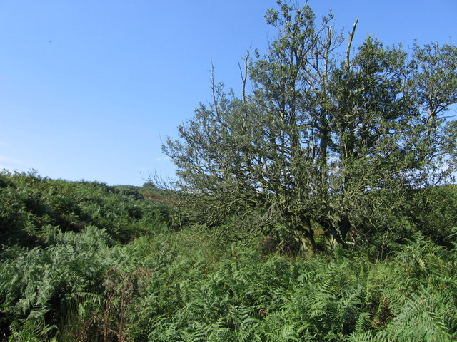
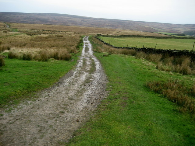
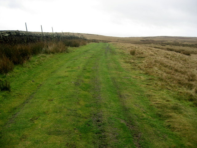
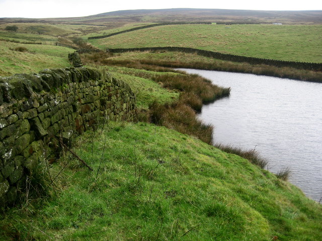
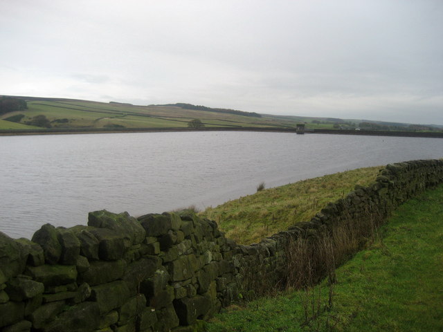
The natural beauty of the Yorkshire countryside surrounding Middleton makes it a popular destination for outdoor enthusiasts. The Howardian Hills offer numerous walking and cycling routes, allowing visitors to explore the idyllic landscapes and enjoy the tranquility of the area. Middleton Woods, a local nature reserve, is also worth a visit, particularly during the spring when it becomes a carpet of bluebells.

In conclusion, Middleton, Yorkshire, is a small yet charming civil parish that offers a peaceful and scenic retreat for both residents and visitors. Its rich history, community spirit, and proximity to the stunning Howardian Hills make it an attractive destination for those seeking an escape to the English countryside.

If you have any feedback on the listing, please let us know in the comments section below.

Middleton Images

Images are sourced within 2km of 53.953756/-1.820806 or Grid Reference SE1150. Thanks to Geograph Open Source API. All images are credited.

Middleton Moor To the right is farmland, whereas by contrast to the left is rough grassland pasture now designated as access land.
Middleton Moor
To the right is farmland, whereas by contrast to the left is rough grassland pasture now designated as access land.
Round Hill tumulus, Middleton Moor To the north are a number of cupstones with which this tumulus may be associated... or maybe not. Beyond is the view across Wharfedale, with Addingham Moor in the distance to the left.
Round Hill tumulus, Middleton Moor
To the north are a number of cupstones with which this tumulus may be associated... or maybe not. Beyond is the view across Wharfedale, with Addingham Moor in the distance to the left.
Sheep near East Moor House Farm Farmland typical of this area on the south facing slopes of Langbar and Denton moors. Denton Moor is on the horizon beyond the farm.
Sheep near East Moor House Farm
Farmland typical of this area on the south facing slopes of Langbar and Denton moors. Denton Moor is on the horizon beyond the farm.
Gateway to Moor End Farm Looking North across the cattle grid at the entrance to Moor End Farm. Blackhill House is visible in the background with Langbar Moor beyond. Note the contrast between the colour of the vegetation on either side of the dividing dry-stone wall.
Gateway to Moor End Farm
Looking North across the cattle grid at the entrance to Moor End Farm. Blackhill House is visible in the background with Langbar Moor beyond. Note the contrast between the colour of the vegetation on either side of the dividing dry-stone wall.
Old Milestone Langbar Moor This old stone ['Skipton 6 1/2 mls'] stands at the junction of 2 paths on a damp moor above Addingham. Probably the route of an old pack horse track from Skipton to Knaresborough.
Old Milestone Langbar Moor
This old stone ['Skipton 6 1/2 mls'] stands at the junction of 2 paths on a damp moor above Addingham. Probably the route of an old pack horse track from Skipton to Knaresborough.
Middleton Moor, Ilkley Actually taken from the other side of the Wharfe valley on Cocking Lane above Addingham. Picture shows construction of a pipeline across the moor. What is it - any ideas??
Middleton Moor, Ilkley
Actually taken from the other side of the Wharfe valley on Cocking Lane above Addingham. Picture shows construction of a pipeline across the moor. What is it - any ideas??
Loftshaw Gill Shooting Shelter
ROMAN ROAD (course of), Middleton Moor Located using Garmin GPS! 
The point at which the course of the Roman road crosses the lower reaches of Loftshaw Gill.
ROMAN ROAD (course of), Middleton Moor
Located using Garmin GPS! The point at which the course of the Roman road crosses the lower reaches of Loftshaw Gill.
Delves Beck
Delves Beck
Middle Gill, Bracken Ridge The gill (to the left of the tree) can be heard but not seen, completely obscured by bracken!
Middle Gill, Bracken Ridge
The gill (to the left of the tree) can be heard but not seen, completely obscured by bracken!
Hathenshaw Farm The lane passes between the buildings.
Note the pond in the foreground.
Hathenshaw Farm
The lane passes between the buildings. Note the pond in the foreground.
Ling Park Trig Pillar Situated at 245 metres above sea level on the back road between Ilkley and Beamsley. This would have been a very pleasant location had it not been for the rubbish strewn around and the graffiti.
Ling Park Trig Pillar
Situated at 245 metres above sea level on the back road between Ilkley and Beamsley. This would have been a very pleasant location had it not been for the rubbish strewn around and the graffiti.
Middleton Moor Milestone "To Knarsbrough [Knaresborough] 11 Ms [Miles]. Other sides read "To Skipton 6 Ms" and "To Otley 6 Ms".
Middleton Moor Milestone
"To Knarsbrough [Knaresborough] 11 Ms [Miles]. Other sides read "To Skipton 6 Ms" and "To Otley 6 Ms".
Track onto Middleton Moor Good track that can lead walkers onto the wilderness of Middleton Moor and up to Round Hill.
Track onto Middleton Moor
Good track that can lead walkers onto the wilderness of Middleton Moor and up to Round Hill.
Lower Badger Gate This path leads from West Moor House and onto the wilderness of Middleton Moor - part of a very ancient route called Badger Gate.
Lower Badger Gate
This path leads from West Moor House and onto the wilderness of Middleton Moor - part of a very ancient route called Badger Gate.
Reservoir Water creeping up Delves Beck March Ghyll Reservoir swollen to capacity after weeks of heavy rain, allowing its waters to inundate the lower reaches of Delves Beck.
Reservoir Water creeping up Delves Beck
March Ghyll Reservoir swollen to capacity after weeks of heavy rain, allowing its waters to inundate the lower reaches of Delves Beck.
March Ghyll Reservoir Small reservoir below Middleton Moor.
March Ghyll Reservoir
Small reservoir below Middleton Moor.
Pastures near March Ghyll Reservoir Enclosed pastures to the south of the reservoir, allowing open views towards Beamsley Beacon - seen in the distance.
Pastures near March Ghyll Reservoir
Enclosed pastures to the south of the reservoir, allowing open views towards Beamsley Beacon - seen in the distance.
Show me another place!

Middleton is located at Grid Ref: SE1150 (Lat: 53.953756, Lng: -1.820806)

Division: West Riding

Administrative County: North Yorkshire

District: Harrogate

Police Authority: North Yorkshire

What 3 Words

///highly.baseline.steadier. Near Ilkley, West Yorkshire

Nearby Locations

Middleton

Related Wikis

Middleton-on-Wharfe

Middleton is a hamlet and civil parish in the Harrogate district of North Yorkshire, England. It is on the border with West Yorkshire and 1 mile north...

Ilkley Lido

Ilkley Lido is an open-air swimming pool in the West Yorkshire, England, spa town of Ilkley, part of a complex that also includes an indoor heated swimming...

Dales Way

The Dales Way is an 78.5-mile (126.3 km) long-distance footpath in Northern England, from (south-east to north-west) Ilkley, West Yorkshire, to Bowness...

Nesfield

Nesfield is a small village, 2 miles (3.2 km) north-west of Ilkley on the north bank of the River Wharfe, in the civil parish of Nesfield with Langbar...

Nearby Amenities

Located within 500m of 53.953756,-1.820806
Barrier: cattle_grid
Source: Bing
Lat/Long: 53.9542574/-1.8141973
Hunger Hill
Natural: peak
Source: NPE
Lat/Long: 53.9514391/-1.8228508
air shaft
Fixme: Still exists? No sign on bing.
Man Made: vent
Source: OS 1:25k
Lat/Long: 53.9504785/-1.8201666
Milestone
old milestone
Source: OS sheet 169, publ 1853
Lat/Long: 53.9510107/-1.8267982
Abandoned Man Made: kiln
Building Condition: ruinous
Historic: yes
Product: lime
Source: OS sheet 169, publ1853;Bing
Lat/Long: 53.9570765/-1.8166734
Description: Building extant here in mid-C19th
Historic: ruins
Ruins: building
Source: OS sheet 169, publ1853;Bing
Lat/Long: 53.9572596/-1.8164884
The data included in this document is from www.openstreetmap.org. The data is made available under ODbL.

Have you been to Middleton?

Leave your review of Middleton below (or comments, questions and feedback).