Metheringham
Civil Parish in Lincolnshire North Kesteven
England
Metheringham
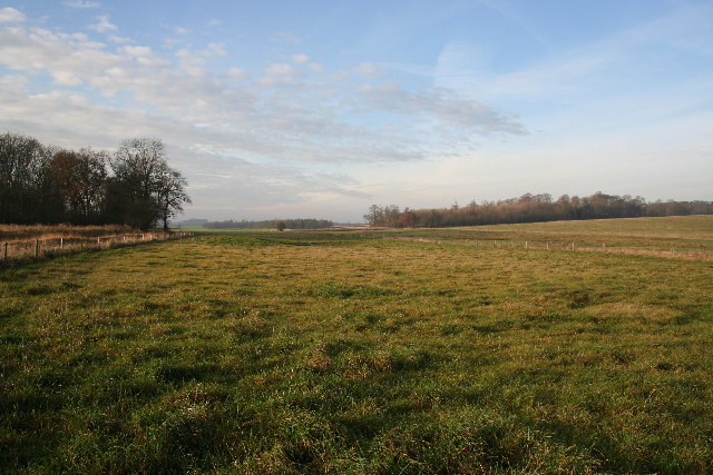
Metheringham is a civil parish located in the North Kesteven district of Lincolnshire, England. Situated approximately 10 miles south-east of the city of Lincoln, the village has a population of around 3,000 residents. Metheringham is surrounded by picturesque countryside and offers a peaceful and rural setting for its inhabitants.
The village has a rich history, with evidence of settlement dating back to Roman times. Metheringham Abbey, a former Cistercian nunnery founded in the 12th century, is one of the notable historical landmarks in the area. The abbey ruins are still visible and attract visitors interested in the region's past.
Despite its small size, Metheringham offers a range of amenities to its residents. The village has a primary school, a medical practice, a pharmacy, and a convenience store, ensuring that basic needs are met locally. There are also a few pubs and restaurants, providing options for dining and socializing.
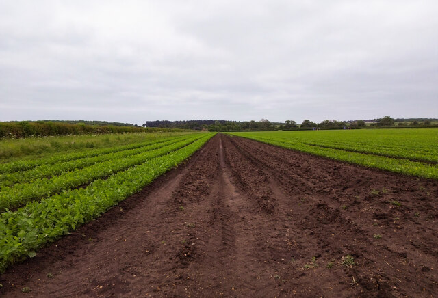
For outdoor enthusiasts, Metheringham offers various opportunities for leisure activities. The village has a recreation ground with a children's play area and sports facilities, including a cricket pitch and tennis courts. Additionally, the surrounding countryside provides ample space for walking, cycling, and exploring nature.
Metheringham benefits from good transportation links, with a train station connecting the village to Lincoln and other nearby towns. This allows residents to easily access larger urban areas for work or leisure purposes.
Overall, Metheringham is a charming and historic village that offers a tranquil and community-oriented lifestyle in the heart of Lincolnshire.
If you have any feedback on the listing, please let us know in the comments section below.
Metheringham Images
Images are sourced within 2km of 53.159833/-0.329422 or Grid Reference TF1163. Thanks to Geograph Open Source API. All images are credited.


Metheringham is located at Grid Ref: TF1163 (Lat: 53.159833, Lng: -0.329422)
Administrative County: Lincolnshire
District: North Kesteven
Police Authority: Lincolnshire
What 3 Words
///oils.workbench.rent. Near Metheringham, Lincolnshire
Nearby Locations
Related Wikis

Metheringham Lass
The Metheringham Lass is the name given to an apparition which has been reported at RAF Metheringham. Reports have stated that the woman, wearing a jacket...

RAF Metheringham
Royal Air Force Metheringham or more simply RAF Metheringham is a former Royal Air Force station situated between the villages of Metheringham and Martin...

Southrey railway station
Southrey railway station is a former station in Southrey, Lincolnshire. == History == The station was opened on 17 October 1848 as part of the new 58 miles...
Martin, North Kesteven
Martin is a small village and civil parish in the North Kesteven district of Lincolnshire, England. The population at the 2011 census was 866. It lies...
Southrey
Southrey is a village in the civil parish of Bardney in the West Lindsey district of Lincolnshire, England, and approximately 2 miles (3 kilometres) south...
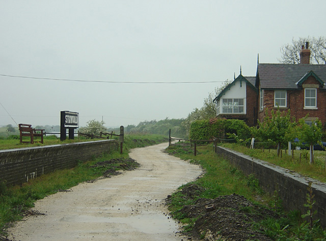
Stixwould railway station
Stixwould railway station was a station in Stixwould, Lincolnshire, England. == History == The station was also the site of the Stixwould ferry across...
Nocton Priory
Nocton Park Priory was an Augustinian priory in Nocton, Lincolnshire, England. The priory of Nocton Park was founded by Robert Darcy in honour of Saint...
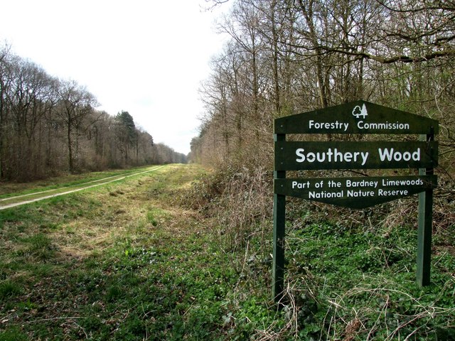
Southrey Wood
Southrey Wood is reserve near Bardney in the county of Lincolnshire, England. Butterfly Conservation manages this reserve. It is 22 acres (8.9 ha) in extent...
Nearby Amenities
Located within 500m of 53.159833,-0.329422Have you been to Metheringham?
Leave your review of Metheringham below (or comments, questions and feedback).