Meriden
Civil Parish in Warwickshire Solihull
England
Meriden

Meriden is a civil parish and village located in Warwickshire, England. It is situated in the West Midlands, approximately 10 miles southeast of Birmingham city center. The village is known as the traditional center of England due to its geographical location, and it is marked by a stone monument stating "The Heart of England."
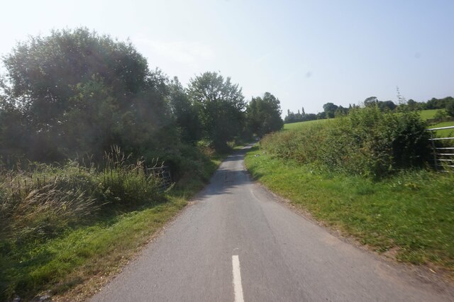
Covering an area of around 7 square miles, Meriden is a primarily residential area with a population of approximately 3,000 people. It is a quiet and picturesque village, surrounded by countryside and farmland. The parish is part of the Metropolitan Borough of Solihull.
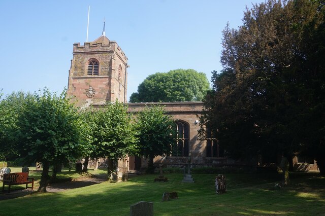
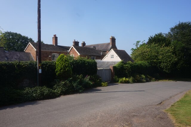
Meriden has a rich history, with evidence of human settlement dating back to the Iron Age. The village itself has a medieval layout, with narrow streets and historic buildings. St. Laurence Church, a Grade I listed building, is a prominent landmark in the area and is known for its stunning 14th-century spire.
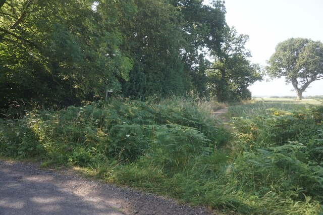
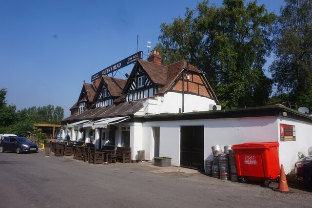
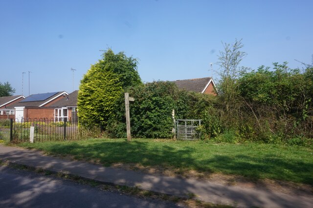
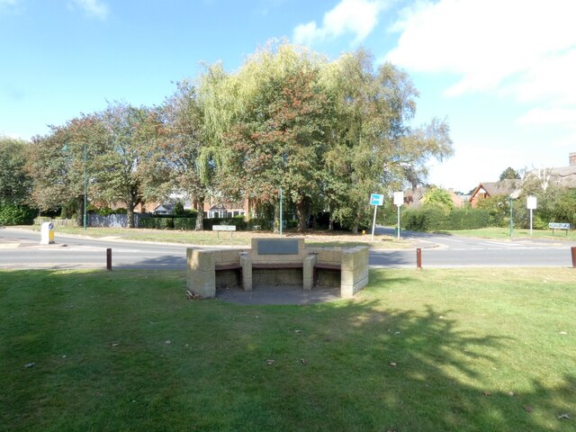
The village has a few local amenities, including a post office, a primary school, and several shops and pubs. It is a popular destination for cyclists and walkers due to its scenic surroundings and proximity to the Heart of England Way, a long-distance footpath.
Overall, Meriden offers a peaceful and rural lifestyle while still being within easy reach of larger towns and cities. Its central location within England and its historical significance make it a unique and charming place to live or visit.
If you have any feedback on the listing, please let us know in the comments section below.
Meriden Images
Images are sourced within 2km of 52.441672/-1.628557 or Grid Reference SP2582. Thanks to Geograph Open Source API. All images are credited.


Meriden is located at Grid Ref: SP2582 (Lat: 52.441672, Lng: -1.628557)
Administrative County: West Midlands
District: Solihull
Police Authority: West Midlands
What 3 Words
///weep.truly.natively. Near Meriden, West Midlands
Nearby Locations
Related Wikis

Walsh Hall, Meriden
Walsh Hall is a six-bedroom, Grade II* listed house on Walsh Lane, Meriden, West Midlands (originally Warwickshire), England.It comprises a 16 foot (4...
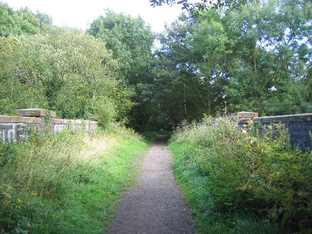
Coventry Way
The Coventry Way is a 40-mile (64 km) long-distance footpath in central England that starts and finishes in Meriden. It forms a circular route around the...
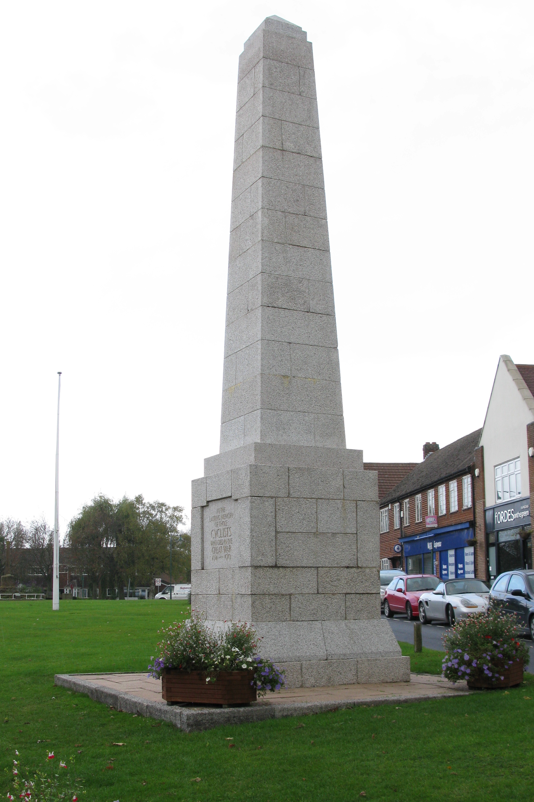
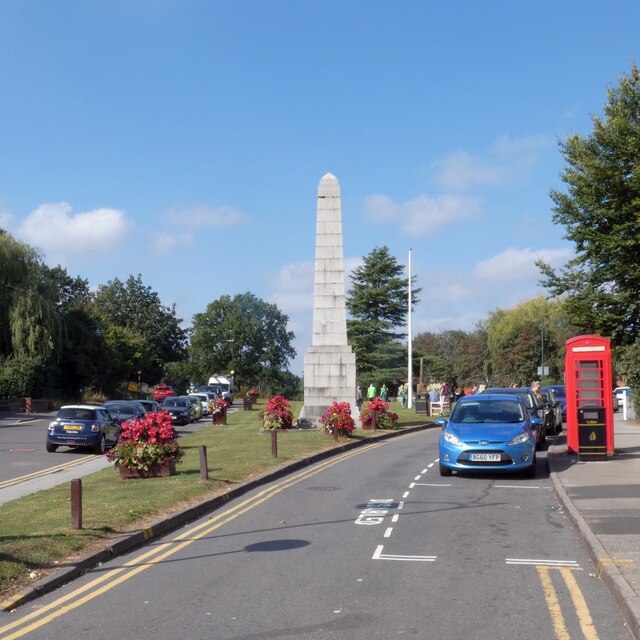
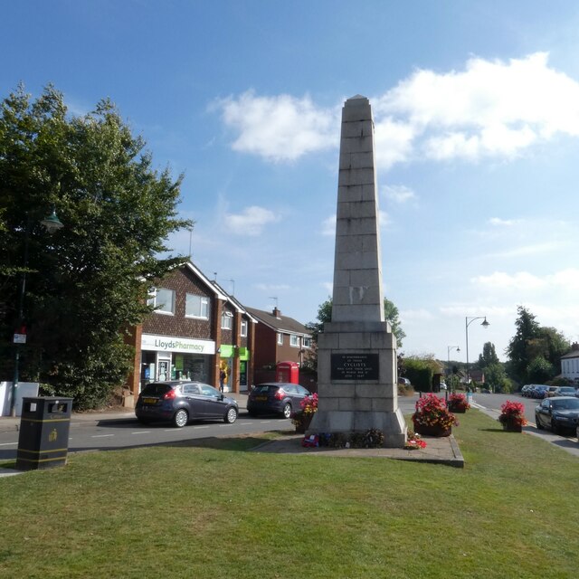
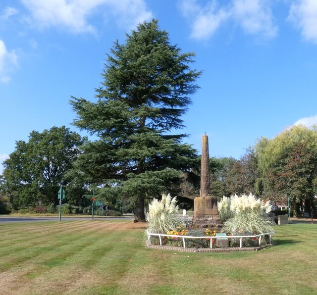
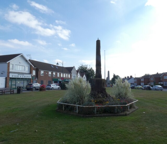
Cyclists War Memorial
The Cyclists War Memorial is a war memorial on the village green in Meriden, West Midlands. The village between Coventry and Birmingham was long reputed...

Meriden, West Midlands
Meriden is a village and civil parish in the Metropolitan Borough of Solihull, West Midlands, England. Historically, it is part of Warwickshire and lies...
Triumph Engineering
Triumph Engineering Co Ltd was a British motorcycle manufacturing company, based originally in Coventry and then in Meriden. A new company, Triumph Motorcycles...
Millison's Wood
Millison's Wood is a large English hamlet in the parish of Meriden, situated 1.5 miles east of the village of Meriden (the closest neighbouring settlement...
Meriden Rural District
The Meriden Rural District was a rural district of Warwickshire, England, which existed between 1894 and 1974. It was named after the village of Meriden...
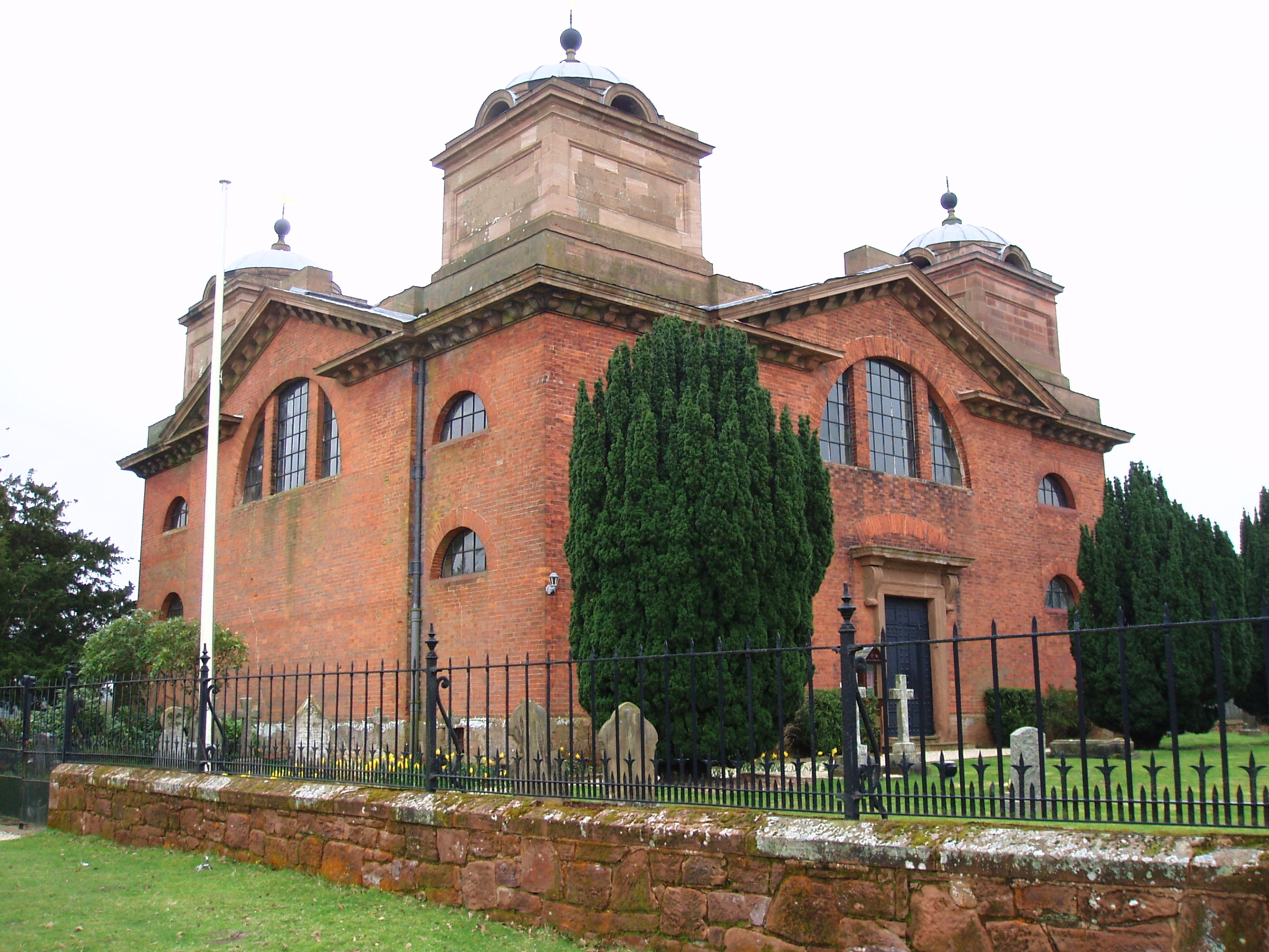
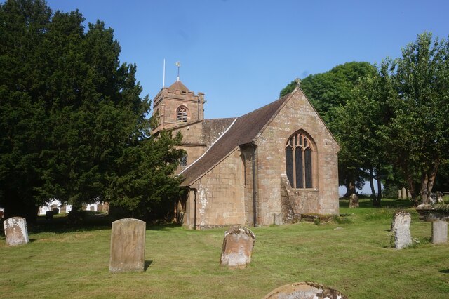
St James' Church, Great Packington
St James' Church is an 18th-century chapel situated in the grounds of Packington Hall, near Meriden, Warwickshire. It is a Grade I listed building. The...
Nearby Amenities
Located within 500m of 52.441672,-1.628557Have you been to Meriden?
Leave your review of Meriden below (or comments, questions and feedback).