Melling-with-Wrayton
Civil Parish in Lancashire Lancaster
England
Melling-with-Wrayton
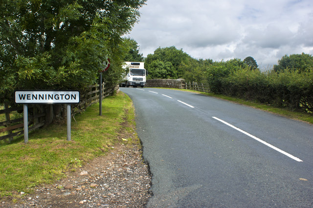
Melling-with-Wrayton is a civil parish located in the county of Lancashire, England. It is situated in the district of Lancaster, approximately 6 miles north of the city center. The parish covers an area of around 4 square miles and is bordered by the parishes of Hornby, Tatham, and Wennington.
The village of Melling is the main settlement within the parish. It is a small rural village with a population of around 500 residents. The village retains much of its traditional charm, with quaint stone cottages and a picturesque village green. The parish also includes the smaller hamlet of Wrayton, located to the northeast of Melling.
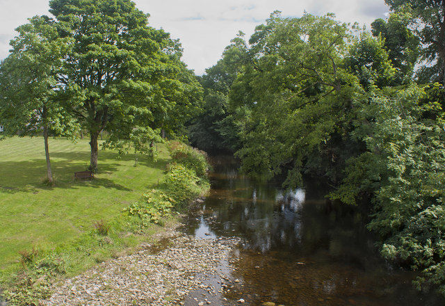
The area is predominantly agricultural, with farming being the main industry. The fertile soil and favorable climate make it suitable for both arable and livestock farming. The landscape is characterized by rolling hills, fields, and meadows, providing a scenic countryside backdrop.
Melling-with-Wrayton offers a tranquil and peaceful environment, ideal for those seeking a rural retreat. The area is popular with walkers and nature enthusiasts, with several walking trails and nature reserves nearby. The parish church, St. Wilfrid's, is a notable landmark, dating back to the 13th century and featuring unique architectural elements.
Despite its rural setting, Melling-with-Wrayton benefits from good transport links, with the A683 road running through the parish, connecting it to Lancaster and Kirkby Lonsdale. The neighboring village of Hornby provides basic amenities, including a primary school, shops, and pubs, ensuring residents have access to essential services.
If you have any feedback on the listing, please let us know in the comments section below.
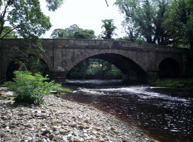
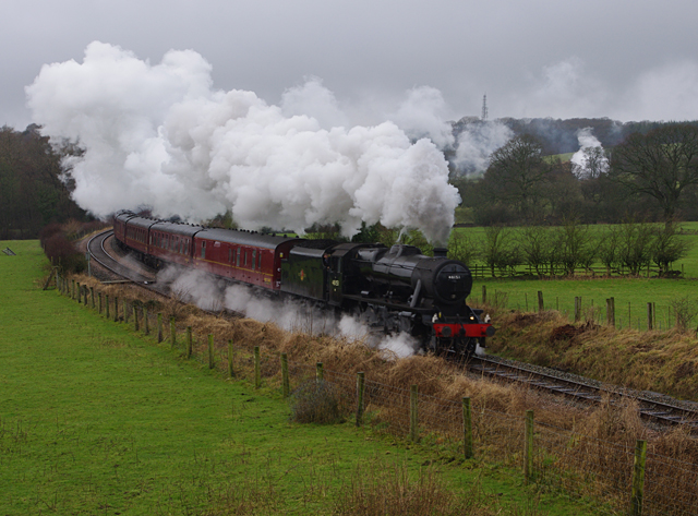
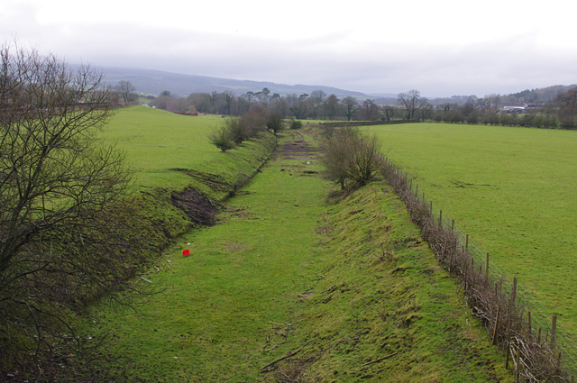
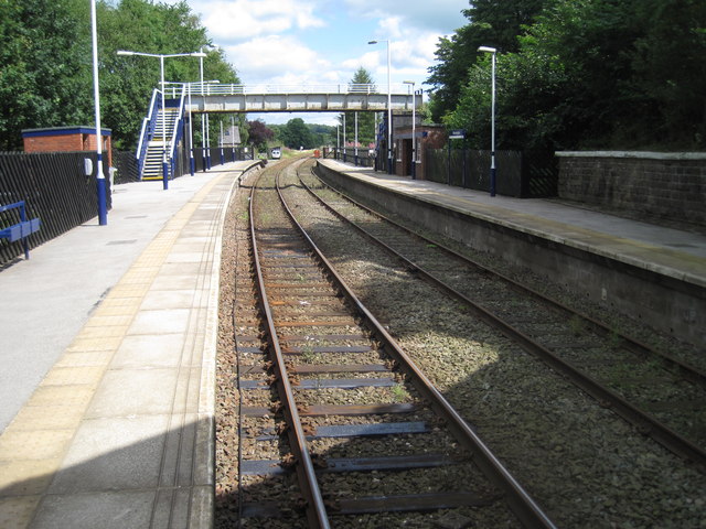
Melling-with-Wrayton Images
Images are sourced within 2km of 54.137425/-2.60552 or Grid Reference SD6071. Thanks to Geograph Open Source API. All images are credited.


Melling-with-Wrayton is located at Grid Ref: SD6071 (Lat: 54.137425, Lng: -2.60552)
Administrative County: Lancashire
District: Lancaster
Police Authority: Lancashire
What 3 Words
///foreheads.buns.sourcing. Near High Bentham, North Yorkshire
Nearby Locations
Related Wikis

Melling railway station (Lancashire)
Melling railway station served the village of Melling, Lancashire, England, from 1867 to 1952 on the Furness and Midland Joint Railway. == History == The...
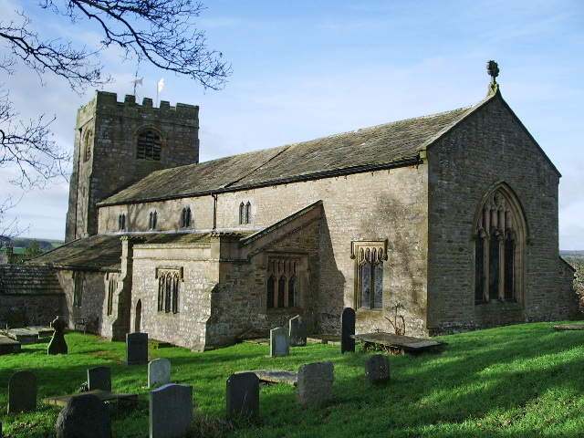
St Wilfrid's Church, Melling
St Wilfrid's Church is in Main Street, Melling, Lancashire, England. It is recorded in the National Heritage List for England as a designated Grade I listed...
Melling-with-Wrayton
Melling-with-Wrayton is a civil parish in the City of Lancaster in the English county of Lancashire. It includes the village of Melling and the hamlet...

Wennington Hall
Wennington Hall is a former country house in Wennington, a village in the City of Lancaster district in Lancashire, England. The house is a Grade II listed...
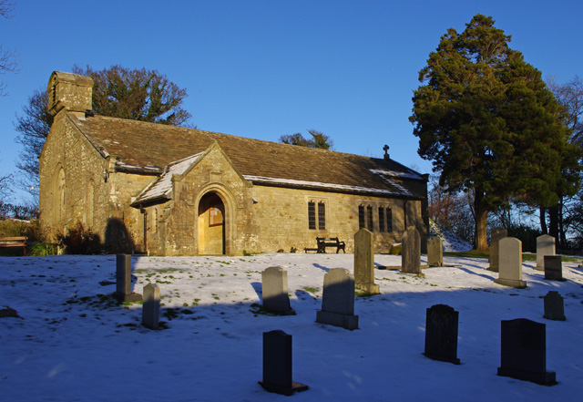
St John the Baptist's Church, Arkholme
St John the Baptist's Church, is in the village of Arkholme, Lancaster, Lancashire, England. It is an active Anglican parish church in the deanery of Tunstall...

Thurland Castle
Thurland Castle is a country house in Lancashire, England which has been converted into apartments. Surrounded by a moat, and located in parkland, it was...

Wennington Junction rail crash
Just west of Wennington railway station was Wennington junction where the Furness and Midland Joint Railway left the North Western section of the Midland...

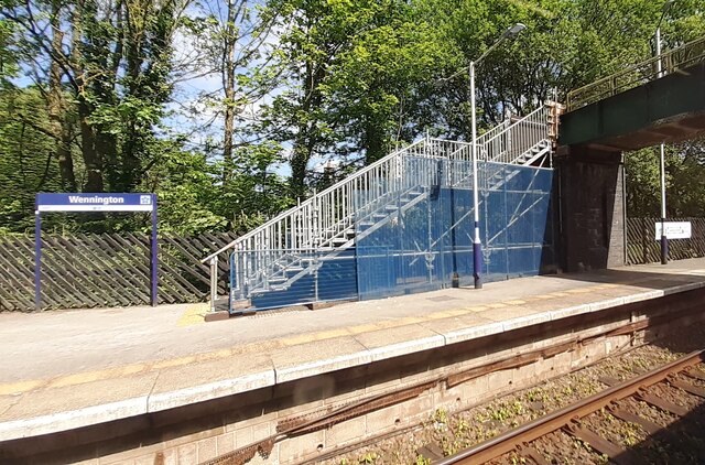
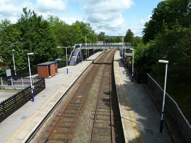
Wennington railway station
Wennington is a railway station on the Bentham Line, which runs between Leeds and Morecambe via Skipton. The station, situated 15+3⁄4 miles (25 km) east...
Nearby Amenities
Located within 500m of 54.137425,-2.60552Have you been to Melling-with-Wrayton?
Leave your review of Melling-with-Wrayton below (or comments, questions and feedback).