Marr

Civil Parish in Yorkshire Doncaster

England

Marr

Hangman Stone Road the footpath to High Melton leaves the Road
Hangman Stone Road Credit: Nigel Homer

Marr is a civil parish located in the district of Richmondshire, North Yorkshire, England. Situated in the picturesque Yorkshire Dales, this rural community is home to a population of around 200 people. Marr is nestled in a valley surrounded by rolling hills and green fields, offering stunning views of the countryside.

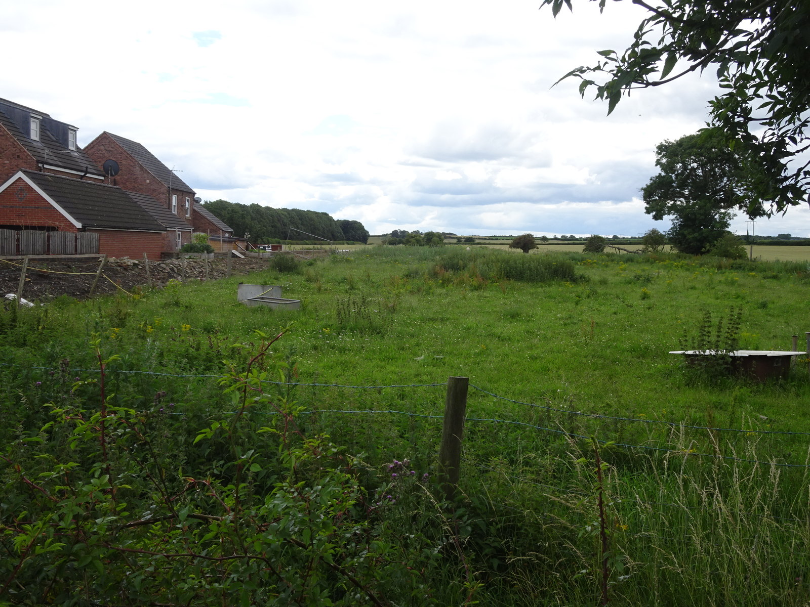
The parish consists of a small cluster of houses and farms, most of which are constructed from local stone, giving the area a traditional and charming character. Marr is known for its tranquility and peaceful atmosphere, attracting visitors who seek a serene escape from the bustling city life.

The main feature of the parish is the Marr Parish Church, dedicated to St. Andrew. This beautiful church dates back to the 12th century and showcases a mix of architectural styles, including Norman and Gothic elements. The churchyard is a peaceful spot, with ancient gravestones and a peaceful ambiance.

Marr is a popular destination for outdoor enthusiasts, offering numerous walking and hiking trails that allow visitors to explore the stunning natural beauty of the Yorkshire Dales. The nearby River Cover provides opportunities for fishing and boating, while the surrounding hills are ideal for bird watching and wildlife spotting.

Despite its small size, Marr is well-connected to nearby towns and villages. The market town of Leyburn is just a short drive away, offering a range of amenities, including shops, cafes, and pubs. Overall, Marr offers a tranquil and idyllic setting, making it an appealing place for nature lovers and those seeking a peaceful retreat in the heart of the Yorkshire Dales.

If you have any feedback on the listing, please let us know in the comments section below.
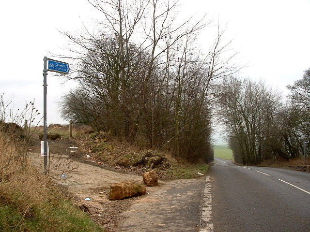
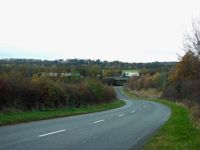
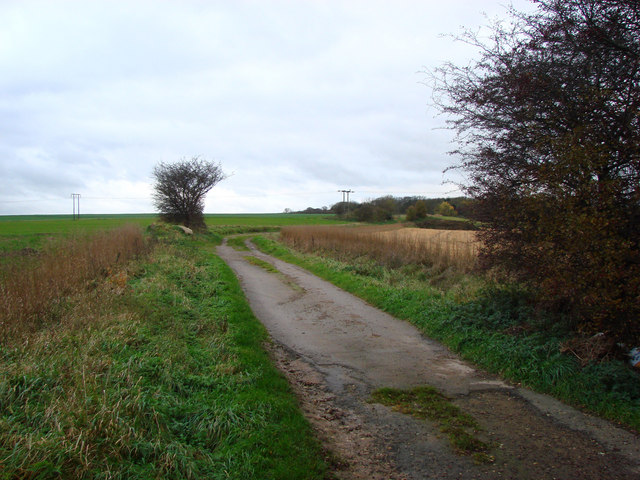
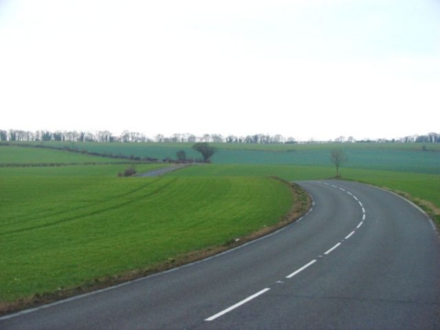
Marr Images

Images are sourced within 2km of 53.538881/-1.224841 or Grid Reference SE5104. Thanks to Geograph Open Source API. All images are credited.

Hangman Stone Road the footpath to High Melton leaves the Road
Hangman Stone Road
the footpath to High Melton leaves the Road
St Helen's Church, Marr mainly from about 1300, this is a fine looking Church
St Helen's Church, Marr
mainly from about 1300, this is a fine looking Church
looking across the fields to Melton Wood A shallow valley in a flat landscape. The edge of Melton Wood can be seen
looking across the fields to Melton Wood
A shallow valley in a flat landscape. The edge of Melton Wood can be seen
Along a field boundary, towards Marr Grange Marr Grange is a farm near the A1(M). This photo is taken from Sprotbrough Lane.
Along a field boundary, towards Marr Grange
Marr Grange is a farm near the A1(M). This photo is taken from Sprotbrough Lane.
Sunnycroft Farm Melton Brand Farm is  up the lane which passes in front houses in the photograph.  Built over 200 years ago it was the original farm and my house/next door were the workers cottages.  After World War 1 the West Riding County Council created 6 x 50 acre small holdings, building 2 more farms up the road near the woods and dividing/extending Melton Brand Farm into 2 and sharing the buildings between the 4 farms at Melton Brand. These 6 holdings were tenanted until 1991 when everything was sold off.  There is still a working farm up the lane - Danum Farm and Melton Brand Farm is a private house.
Sunnycroft Farm
Melton Brand Farm is up the lane which passes in front houses in the photograph. Built over 200 years ago it was the original farm and my house/next door were the workers cottages. After World War 1 the West Riding County Council created 6 x 50 acre small holdings, building 2 more farms up the road near the woods and dividing/extending Melton Brand Farm into 2 and sharing the buildings between the 4 farms at Melton Brand. These 6 holdings were tenanted until 1991 when everything was sold off. There is still a working farm up the lane - Danum Farm and Melton Brand Farm is a private house.
Footpath across a ploughed field looking in the direction of Marr (NW)
Footpath across a ploughed field
looking in the direction of Marr (NW)
Melton Wood and Sheep Lane Melton Wood is now a country park owned by Doncaster Metropolitan Borough Council
Melton Wood and Sheep Lane
Melton Wood is now a country park owned by Doncaster Metropolitan Borough Council
The road from Brodsworth to Marr The church steeple at Marr can just about be seen in the centre of the photograph.
The road from Brodsworth to Marr
The church steeple at Marr can just about be seen in the centre of the photograph.
The A635, Junction 37  with the A1(M)
The A635, Junction 37 with the A1(M)
Leys Hill Bridge This is where the A1(M) crosses Green Lane, the B6422.
Leys Hill Bridge
This is where the A1(M) crosses Green Lane, the B6422.
Freestone Quarry Lane
Hangman Stone Road, Marr
The A635 Marr, looking West. The A635 is the only feature in this very uninteresting O/S grid square !!
The A635 Marr, looking West.
The A635 is the only feature in this very uninteresting O/S grid square !!
Land south of Brodsworth Hall This square (SE5006) remained unphotographed until now because access other than from Brodsworth Hall (on the right in this picture) is very difficult.  The track north-east from Bilham Grange shown on the 1998/9 OS Sheet 111 is now closed and visitors to Brodsworth Hall are directed in no uncertain terms to the other side of the estate.

Furthermore, it is disappointing to have to record that apart from farms and undistinguished woodland, SE5006 has few landmarks and not much in the way of vantage points overlooking it.  Only the land behind the trees across the centre lies inside SE5006 - the photograph was taken from across the Brodsworth-Marr road (in SE5105), with the photographer standing on a boulder to see over the hedgerows!
Land south of Brodsworth Hall
This square (SE5006) remained unphotographed until now because access other than from Brodsworth Hall (on the right in this picture) is very difficult. The track north-east from Bilham Grange shown on the 1998/9 OS Sheet 111 is now closed and visitors to Brodsworth Hall are directed in no uncertain terms to the other side of the estate. Furthermore, it is disappointing to have to record that apart from farms and undistinguished woodland, SE5006 has few landmarks and not much in the way of vantage points overlooking it. Only the land behind the trees across the centre lies inside SE5006 - the photograph was taken from across the Brodsworth-Marr road (in SE5105), with the photographer standing on a boulder to see over the hedgerows!
After the harvest. An unusually dry windy day.
After the harvest.
An unusually dry windy day.
Doncaster by pass A1 bridge over road to Brodsworth.
Summer afternoon on Hangman Stone Lane. Unusually for summer 2007 it was 25 degrees this afternoon.
Summer afternoon on Hangman Stone Lane.
Unusually for summer 2007 it was 25 degrees this afternoon.
Bridleway to Hickleton. This bridleway gives outstanding views over the Dearne Valley.
Bridleway to Hickleton.
This bridleway gives outstanding views over the Dearne Valley.
Show me another place!

Marr is located at Grid Ref: SE5104 (Lat: 53.538881, Lng: -1.224841)

Division: West Riding

Administrative County: South Yorkshire

District: Doncaster

Police Authority: South Yorkshire

What 3 Words

///fiction.congas.watchdogs. Near Marr, South Yorkshire

Nearby Locations

Marr

Related Wikis

Marr, South Yorkshire

Marr is a village and civil parish in the City of Doncaster district in South Yorkshire, England. It has a population of 138, increasing slightly to 146...

Brodsworth Hall

Brodsworth Hall, near Brodsworth, 5 miles (8 km) north-west of Doncaster in South Yorkshire, is one of the most complete surviving examples of a Victorian...

Pickburn and Brodsworth railway station

Pickburn and Brodsworth railway station was a small railway station situated on the South Yorkshire Junction Railway's line between Wrangbrook Junction...

Little Canada, South Yorkshire

Little Canada is a hamlet in the City of Doncaster in South Yorkshire, England. It is situated on the B6422 road between Brodsworth and Scawthorpe, approximately...

Nearby Amenities

Located within 500m of 53.538881,-1.224841
Bus Stop
Barnsley Road/Blacksmiths Lane
Naptan AtcoCode: 370040894
Naptan Bearing: W
Naptan CommonName: Barnsley Road/Blacksmiths Lane
Naptan Indicator: 40894
Naptan Landmark: 40894
Naptan PlusbusZoneRef: ROTHCEN
Naptan Street: Barnsley Road
Naptan Verified: no
Source: naptan_import
Lat/Long: 53.5407745/-1.2293455
Bus Stop
Barnsley Road/Grove Court
Alt Name: Barnsley Road/Grove Court
Naptan AltCommonName: Barnsley Road/Grove Court
Naptan AtcoCode: 370040895
Naptan Bearing: E
Naptan CommonName: Barnsley Road/Grove Court
Naptan Indicator: 40895
Naptan Landmark: 40895
Naptan PlusbusZoneRef: ROTHCEN
Naptan Street: Barnsley Road
Naptan Verified: no
Source: naptan_import
Lat/Long: 53.5411107/-1.2271211
Bus Stop
Barnsley Road/Church Lane
Naptan AtcoCode: 370040896
Naptan Bearing: W
Naptan CommonName: Barnsley Road/Church Lane
Naptan Indicator: 40896
Naptan Landmark: 40896
Naptan PlusbusZoneRef: ROTHCEN
Naptan Street: Barnsley Road
Naptan Verified: no
Source: naptan_import
Lat/Long: 53.5411289/-1.2243743
Bus Stop
Barnsley Road/Church Lane
Naptan AtcoCode: 370045234
Naptan Bearing: E
Naptan CommonName: Barnsley Road/Church Lane
Naptan Indicator: 45234
Naptan Landmark: Telephone Box
Naptan PlusbusZoneRef: ROTHCEN
Naptan Street: Barnsley Road
Naptan Verified: no
Source: naptan_import
Lat/Long: 53.5412529/-1.2240853
Pub
Marr Lodge
Lat/Long: 53.5412453/-1.2285817
Marr
Place: hamlet
Lat/Long: 53.5425702/-1.2281782
Generator Method: photovoltaic
Generator Output Electricity: yes
Generator Source: solar
Generator Type: solar_photovoltaic_panel
Location: roof
Power: generator
Lat/Long: 53.5413226/-1.2273832
Generator Method: photovoltaic
Generator Output Electricity: yes
Generator Source: solar
Generator Type: solar_photovoltaic_panel
Location: roof
Power: generator
Lat/Long: 53.5415553/-1.2189718
The data included in this document is from www.openstreetmap.org. The data is made available under ODbL.

Have you been to Marr?

Leave your review of Marr below (or comments, questions and feedback).