Mapperley
Civil Parish in Derbyshire Amber Valley
England
Mapperley

Mapperley is a civil parish located in the county of Derbyshire, England. Situated approximately 10 miles northeast of Derby, it is a small rural community with a population of around 500 residents. The parish covers an area of about 3 square miles and is nestled in the picturesque Amber Valley.
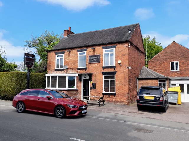
Mapperley is known for its beautiful countryside, with rolling hills, farmland, and charming country lanes. The village itself is characterized by traditional stone-built houses and a sense of tranquility. It maintains a close-knit community atmosphere, with a local pub, the Mapperley Sports and Social Club, serving as a hub for social activities.
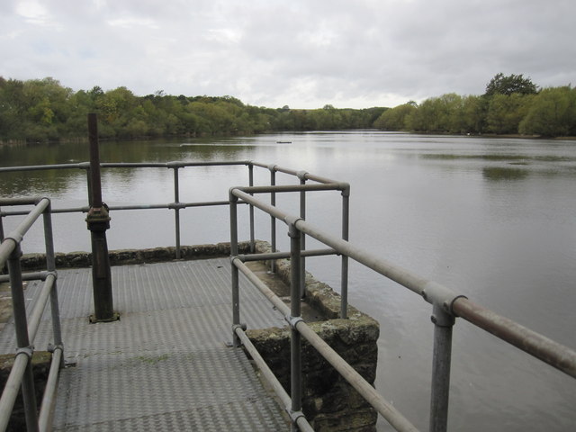
The area offers many opportunities for outdoor pursuits, such as hiking, cycling, and horse riding, with numerous footpaths and bridleways crisscrossing the surrounding countryside. The nearby Shipley Country Park provides a delightful destination for nature lovers, offering a variety of trails, woodlands, and a lake.
Despite its rural setting, Mapperley enjoys good transport links, with easy access to the A610 road and nearby towns and cities. The city of Derby offers a range of amenities including shopping centers, restaurants, and cultural attractions.
Overall, Mapperley is an idyllic rural parish that provides a peaceful and picturesque setting for its residents. With its stunning natural beauty and strong community spirit, it offers a high quality of life for those seeking a quieter pace of life within easy reach of urban conveniences.
If you have any feedback on the listing, please let us know in the comments section below.
Mapperley Images
Images are sourced within 2km of 52.982474/-1.361891 or Grid Reference SK4242. Thanks to Geograph Open Source API. All images are credited.


Mapperley is located at Grid Ref: SK4242 (Lat: 52.982474, Lng: -1.361891)
Administrative County: Derbyshire
District: Amber Valley
Police Authority: Derbyshire
What 3 Words
///writers.contracting.count. Near West Hallam, Derbyshire
Nearby Locations
Related Wikis

Mapperley, Derbyshire
Mapperley is a village and civil parish in the Amber Valley district of Derbyshire, England, situated 7 miles (11 km) northeast of Derby and 2 miles (3...
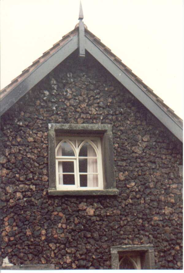
Ye Olde Cinder House
Ye Olde Cinder House is a house on Station Road in West Hallam, Derbyshire, and is made of cinder, a type of igneous rock similar to pumice. It has been...

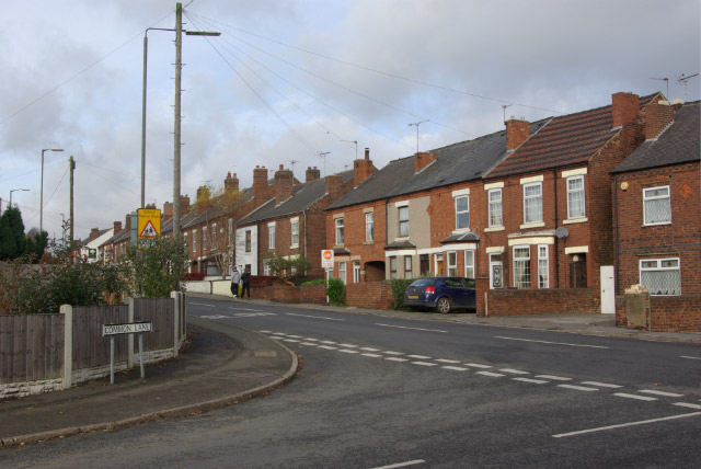
West Hallam
West Hallam is a large village and civil parish close to Ilkeston in the county of Derbyshire in the East Midlands region of England. West Hallam has had...
Stanley Common
Stanley Common is a village in the south-east of Derbyshire in the East Midlands of England.It is situated on the A609 main road between Ilkeston and Derby...

Shipley Hall
Shipley Hall was a country estate in Shipley, Derbyshire near Heanor and Ilkeston which now forms a Country Park. == Early history == The Shipley estate...
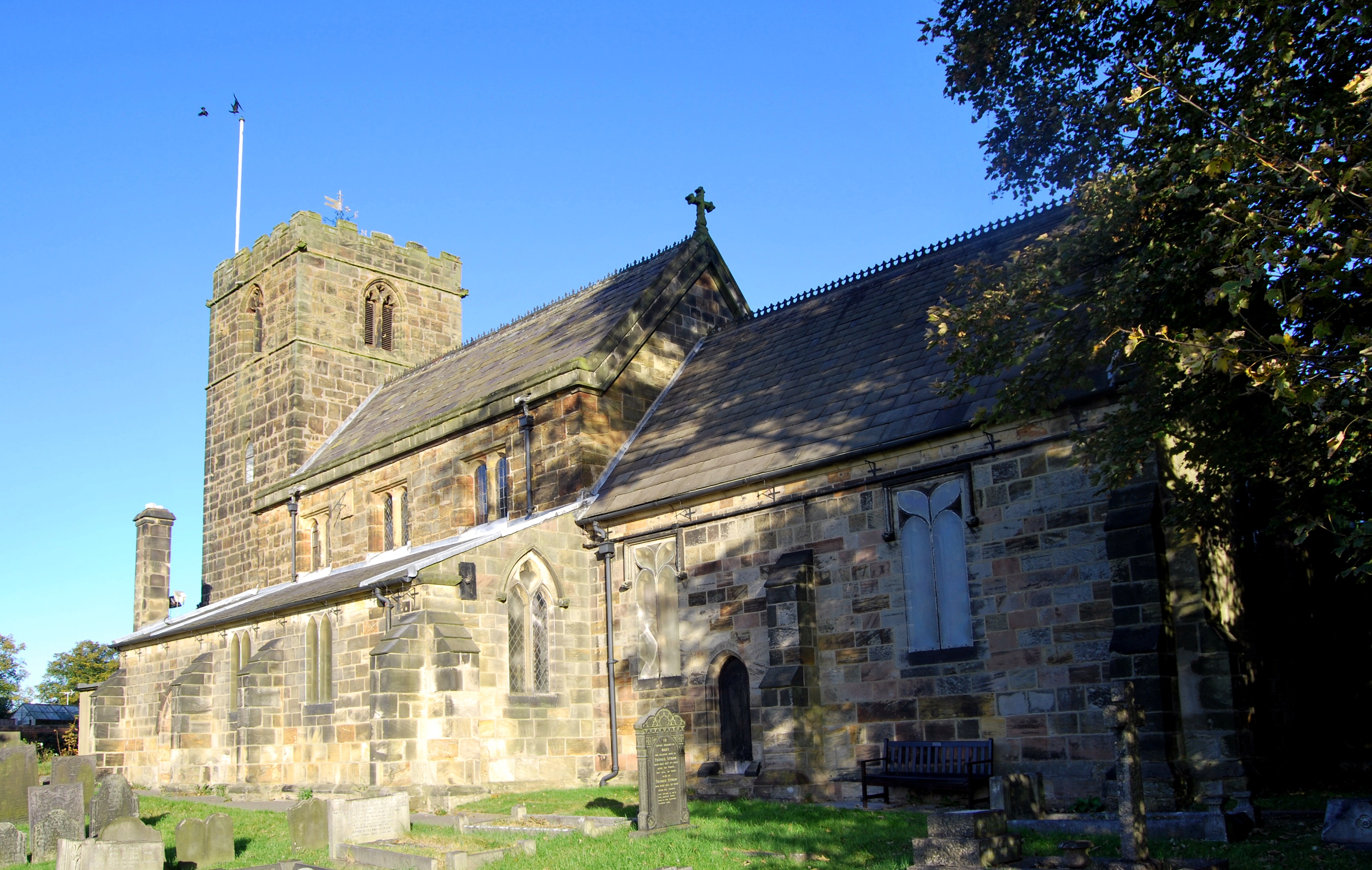
St Wilfrid's Church, West Hallam
St Wilfrid's Church is a Church of England parish church in West Hallam, Derbyshire.St Wilfrid’s church is grade II* listed and was built in the 14th and...

West Hallam railway station
West Hallam railway station was a railway station located between the villages of Stanley and West Hallam in Derbyshire, England. It was opened by the...
Stanley and Stanley Common
Stanley and Stanley Common is a civil parish in south-east Derbyshire in the East Midlands of England. It comprises the villages of Stanley and Stanley...
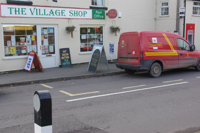
Nearby Amenities
Located within 500m of 52.982474,-1.361891Have you been to Mapperley?
Leave your review of Mapperley below (or comments, questions and feedback).