Manston
Civil Parish in Kent Thanet
England
Manston
Manston is a civil parish located in the county of Kent, in the southeastern part of England. It is situated near the coast, approximately 2 miles west of the town of Ramsgate and 13 miles northeast of the city of Canterbury. The parish covers an area of around 6 square miles and has a population of approximately 1,200 people.
Historically, Manston was primarily an agricultural area, with farming being the main occupation for many of its residents. However, in recent years, the parish has undergone significant development, including the establishment of the former Manston Airport. The airport, which operated from 1916 to 2014, played a crucial role during World War II and was later used for commercial flights.
In addition to the airport, Manston is known for its natural beauty, with picturesque countryside and a stunning coastline. The area is popular among nature enthusiasts and hikers, with several walking trails offering breathtaking views of the surrounding landscape.
The parish of Manston is also home to various amenities, including a primary school, a village hall, and a few shops and businesses. The nearby town of Ramsgate provides further services and facilities for residents.
Overall, Manston offers a blend of rural charm and modern development, making it an attractive place to live for those seeking a peaceful and picturesque setting with easy access to local amenities.
If you have any feedback on the listing, please let us know in the comments section below.
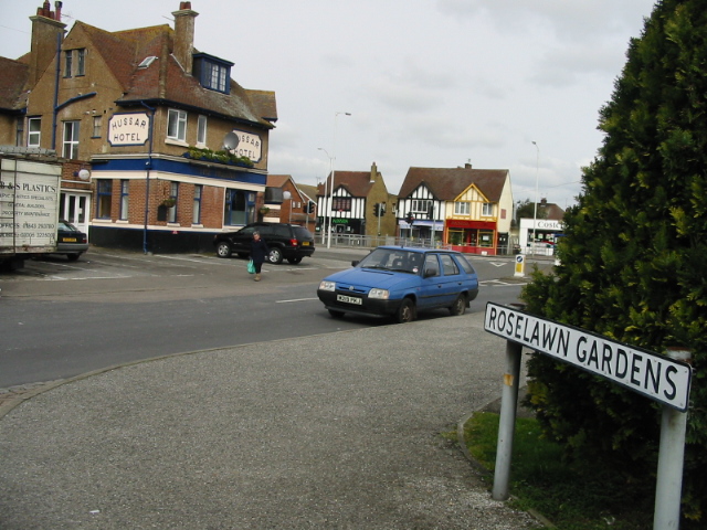
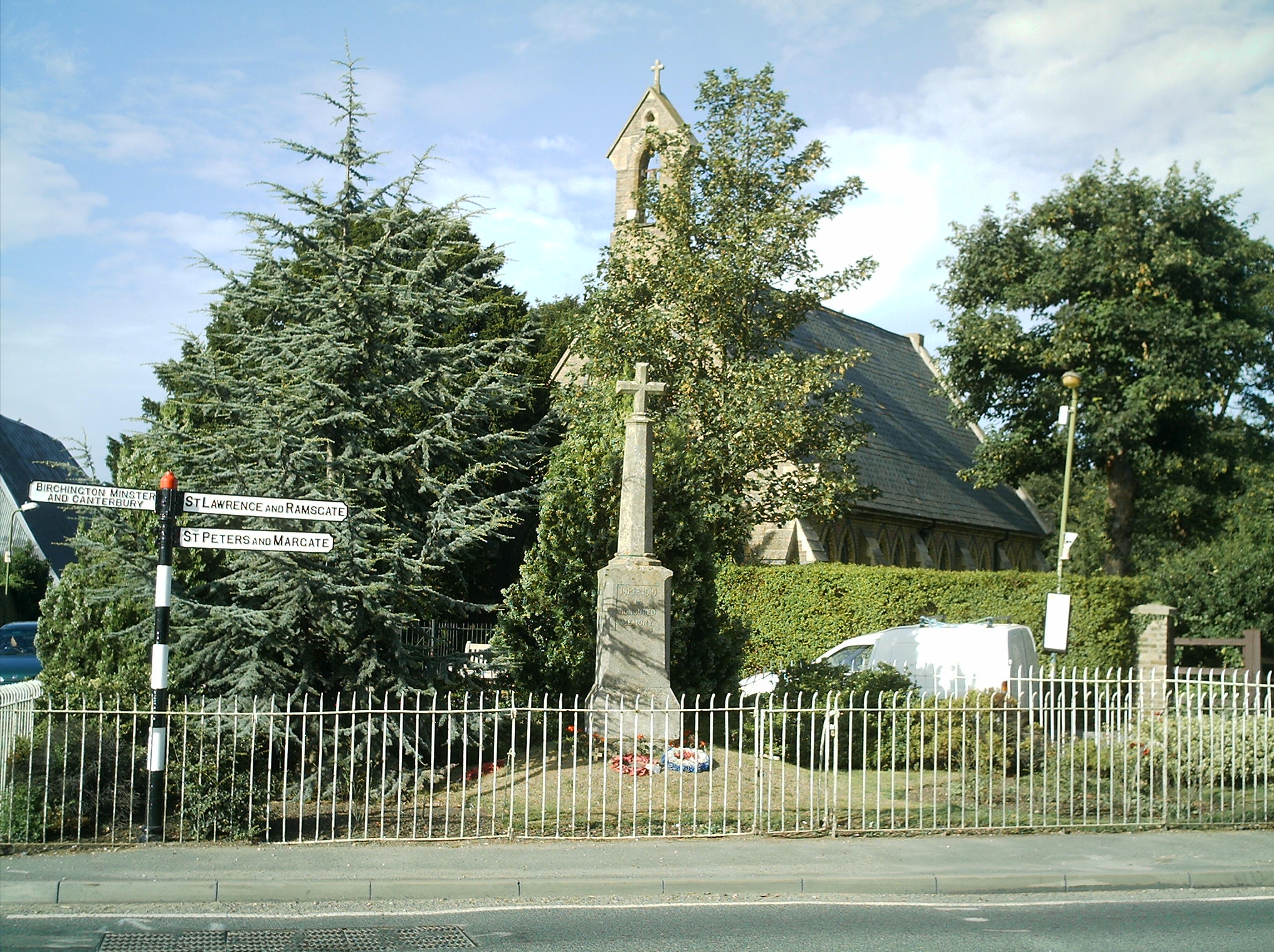
Manston Images
Images are sourced within 2km of 51.362675/1.358184 or Grid Reference TR3367. Thanks to Geograph Open Source API. All images are credited.


Manston is located at Grid Ref: TR3367 (Lat: 51.362675, Lng: 1.358184)
Administrative County: Kent
District: Thanet
Police Authority: Kent
What 3 Words
///tools.depravity.opposite. Near Westgate on Sea, Kent
Nearby Locations
Related Wikis

Thanet West (UK Parliament constituency)
Thanet West was a British parliamentary constituency in the Isle of Thanet, in Kent. It was created for the February 1974 general election, when the former...
Flete
Flete is a hamlet 3 km southwest of Margate in Kent, United Kingdom. It is in the Thanet local government district. At the 2011 census the population of...
Garlinge
Garlinge is a village and suburb of Margate in Kent, England, situated 2 miles (3.2 km) southwest of the centre of the town. It is in the Thanet local...

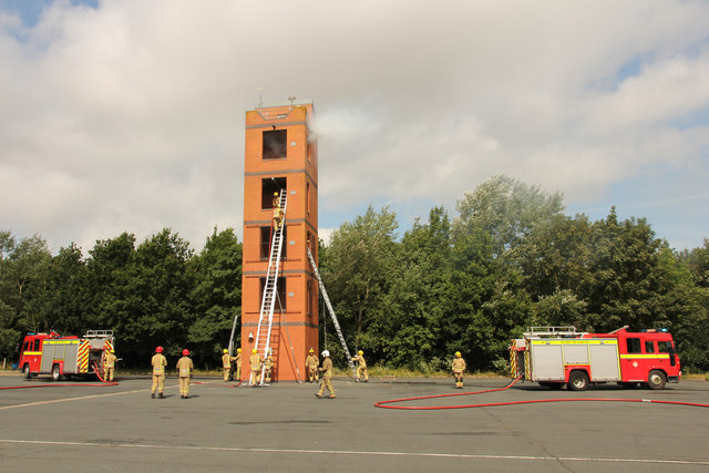
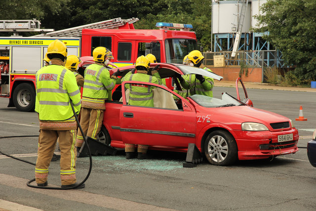
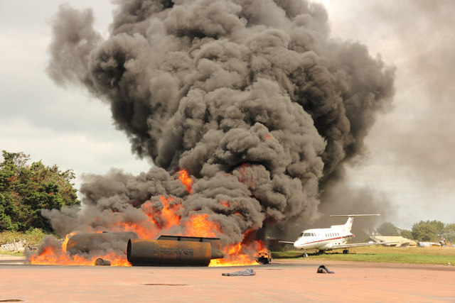
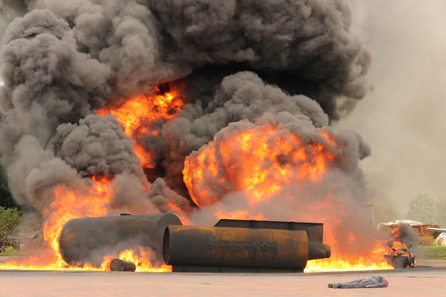
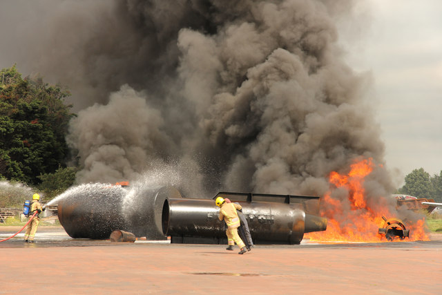
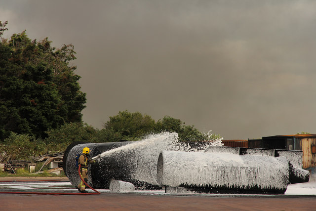
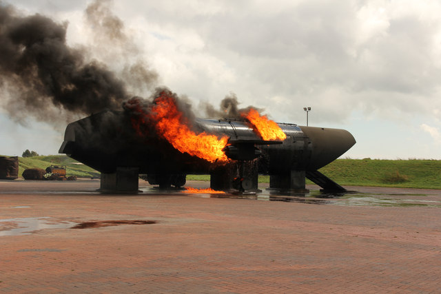
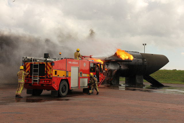
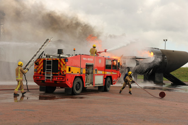
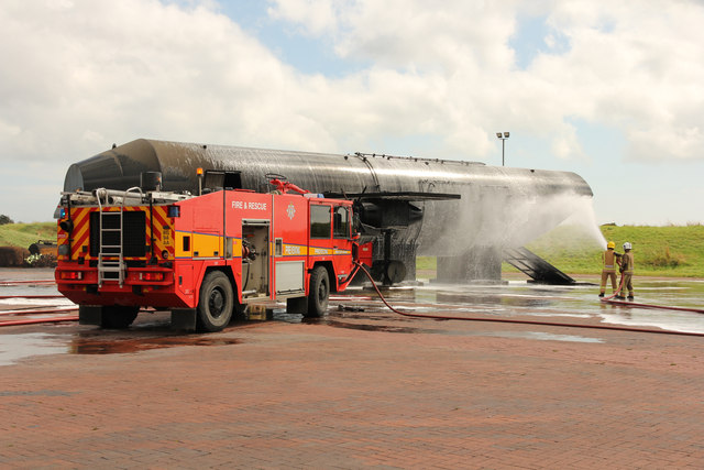
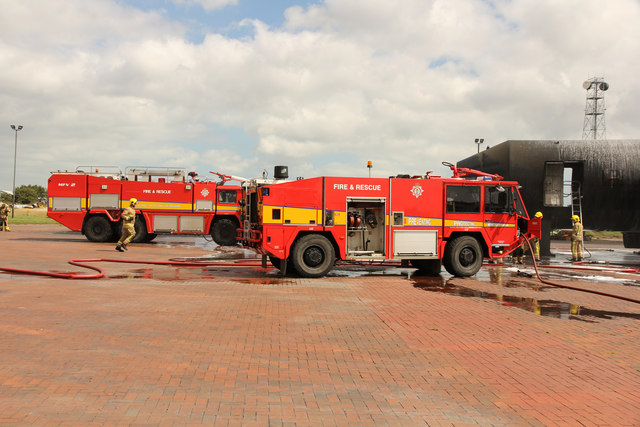
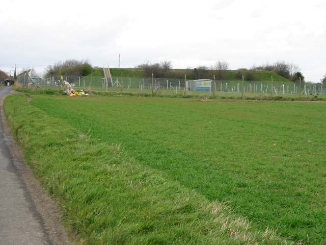
Defence Fire Training and Development Centre
The Defence Fire Training and Development Centre (DFTDC, formerly FSCTE Manston) was the site of the Ministry of Defence's firefighter training. It occupied...

RAF Manston
Royal Air Force Manston or more simply RAF Manston is a former Royal Air Force station located in the north-east of Kent, at grid reference TR334663 on...
Dandelion Paddock
Dandelion Paddock was a first-class cricket ground in Dent de Lion west of Margate, Kent. Sir Horatio Mann organised a number of matches there in the 1790s...

Thanet District
Thanet is a local government district in Kent, England. The council is based in Margate and the district also contains the towns of Broadstairs, Ramsgate...
Manston, Kent
Manston is a village and civil parish in the Thanet district of Kent, England. The village is situated one mile northwest of Ramsgate. The parish includes...
Have you been to Manston?
Leave your review of Manston below (or comments, questions and feedback).