Maltby
Civil Parish in Yorkshire Rotherham
England
Maltby
Maltby is a civil parish located in the Metropolitan Borough of Rotherham, in the county of Yorkshire, England. Situated approximately 9 miles east of the city of Rotherham, Maltby is a former mining town with a rich industrial heritage.
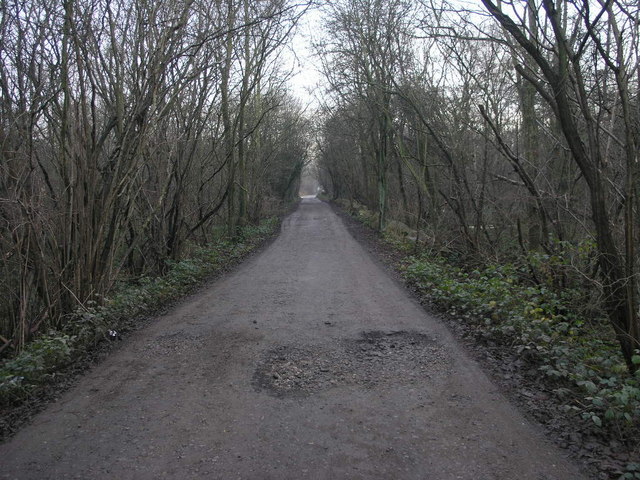
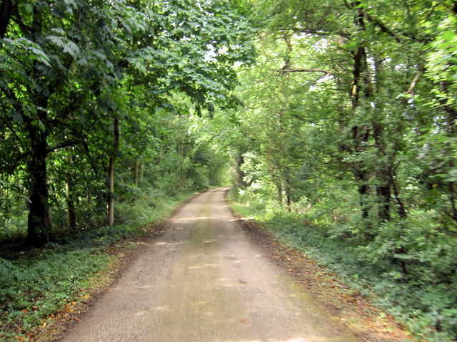
The town is surrounded by beautiful countryside, with the Maltby Crags and Hooton Levitt Woods providing scenic walking trails and nature reserves for outdoor enthusiasts. The area is also home to a number of historic buildings, including the 12th-century Maltby Church of St. Bartholomew, which is renowned for its impressive stained glass windows.
Maltby has a strong sense of community, with various amenities and recreational facilities available to residents. The town has a leisure center that offers a range of sporting activities, including swimming, fitness classes, and a gym. There are also several parks and green spaces, providing opportunities for outdoor activities and relaxation.
The local economy is diverse, with a mix of retail, services, and light industry. Maltby is known for its local markets, which attract visitors from neighboring towns and villages. The town also has a number of shops, cafes, and restaurants, providing residents with a range of options for shopping and dining.
With good transport links to nearby towns and cities, such as Rotherham and Sheffield, Maltby offers a convenient location for commuters. The area is served by regular bus services, and the M18 motorway is easily accessible, providing connections to the wider region.
Overall, Maltby is a picturesque and vibrant civil parish, offering a mix of natural beauty, historical charm, and modern amenities to its residents and visitors.
If you have any feedback on the listing, please let us know in the comments section below.
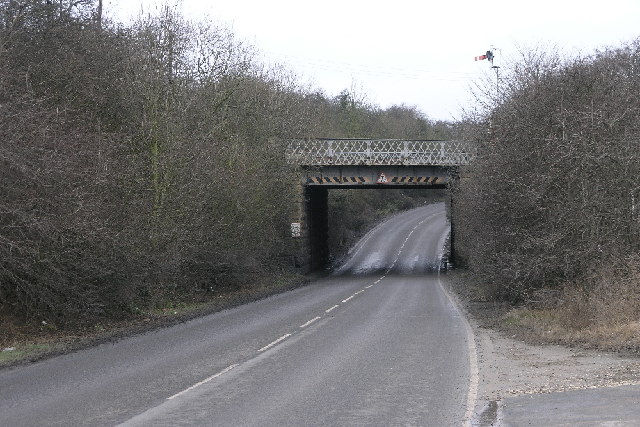
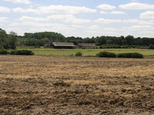
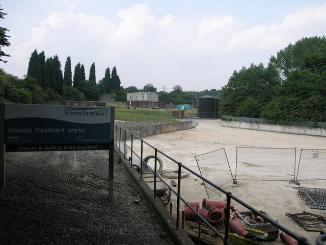
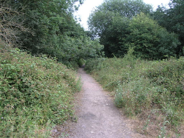
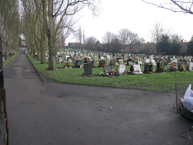
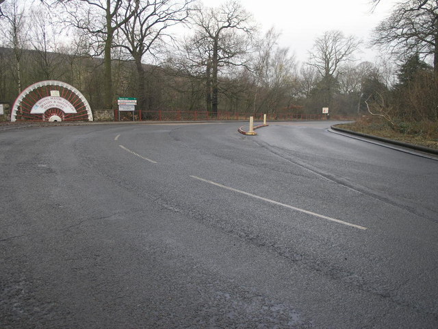
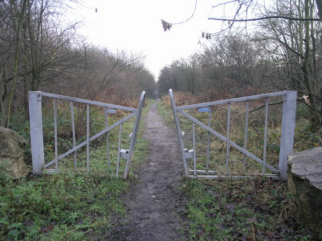
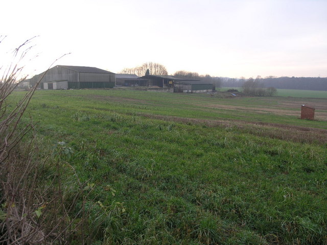
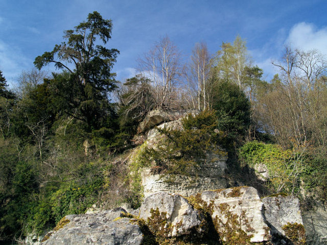
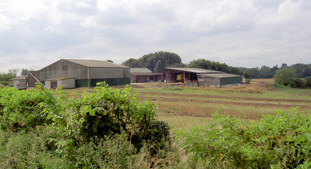
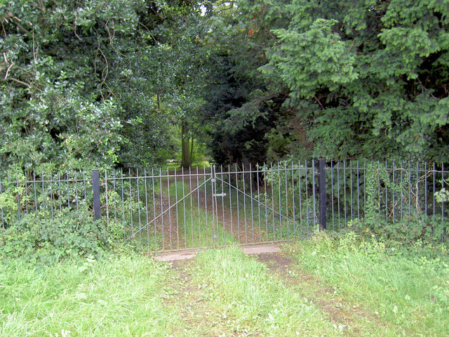
Maltby Images
Images are sourced within 2km of 53.415241/-1.174024 or Grid Reference SK5491. Thanks to Geograph Open Source API. All images are credited.
Maltby is located at Grid Ref: SK5491 (Lat: 53.415241, Lng: -1.174024)
Division: West Riding
Administrative County: South Yorkshire
District: Rotherham
Police Authority: South Yorkshire
What 3 Words
///focus.adjusting.sprinting. Near Maltby, South Yorkshire
Nearby Locations
Related Wikis

Maltby railway station
Maltby railway station was located on the South Yorkshire Joint Railway (SYJR) on the eastern edge of Maltby, South Yorkshire, England. It opened 1910...

ROF Maltby
ROF Maltby was a Royal Ordnance Factory rifle manufacturing plant near Maltby, South Yorkshire which manufactured weapons such as the Lee–Enfield rifle...
Maltby Main F.C.
Maltby Main Football Club is a football club based in Maltby, Rotherham, South Yorkshire. They are currently members of the Northern Counties East League...
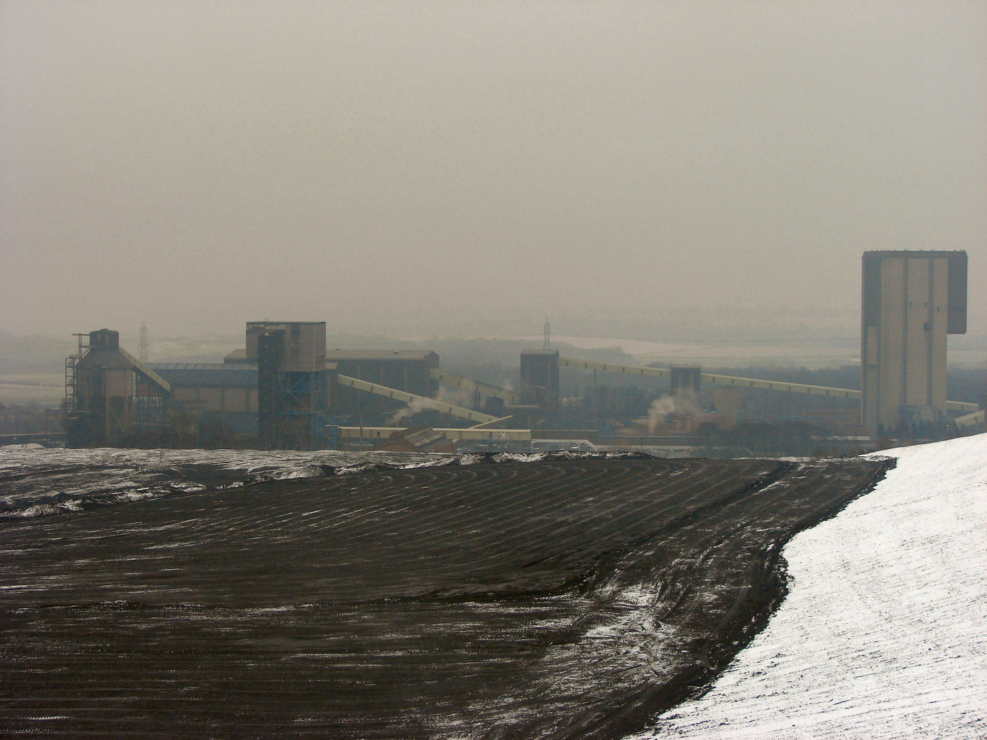
Maltby Main Colliery
The Maltby Main Colliery was a coal mine located 7 miles (11 km) east of Rotherham on the eastern edge of Maltby, South Yorkshire, England. The mine was...

Stone, South Yorkshire
Stone is a hamlet in the civil parish of Maltby, in the Rotherham district lying to the south of Rotherham, South Yorkshire, England. Roche Abbey stands...

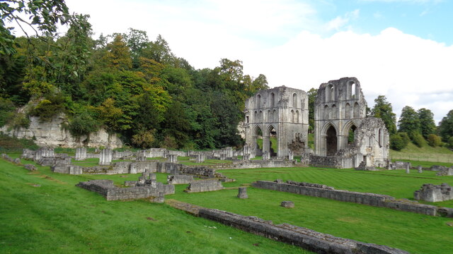
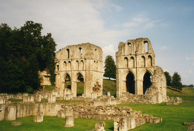
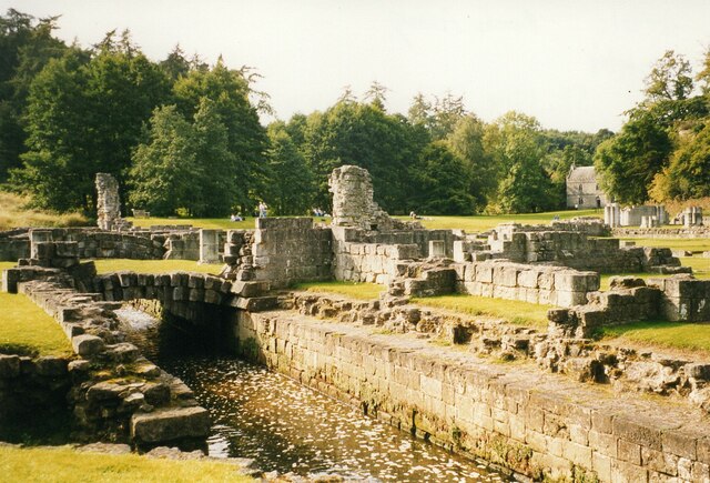
Roche Abbey
Roche Abbey is a now-ruined abbey in the civil parish of Maltby, Rotherham, South Yorkshire, England. It is in the valley of Maltby Dyke, known locally...

Stainton, South Yorkshire
Stainton is a village and civil parish in the Metropolitan Borough of Doncaster in South Yorkshire, England. The parish has a population of 269, increasing...
Maltby Academy
Maltby Academy is an academy school in the former mining town of Maltby in South Yorkshire, England. == Admissions == The school has a sixth form. The...
Nearby Amenities
Located within 500m of 53.415241,-1.174024Have you been to Maltby?
Leave your review of Maltby below (or comments, questions and feedback).