Maidwell
Civil Parish in Northamptonshire
England
Maidwell
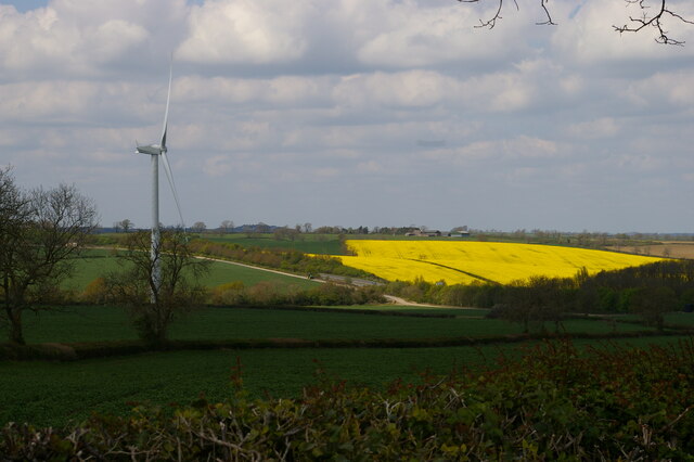
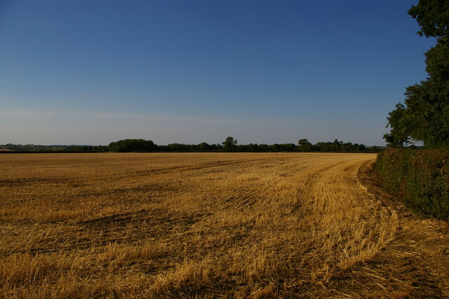
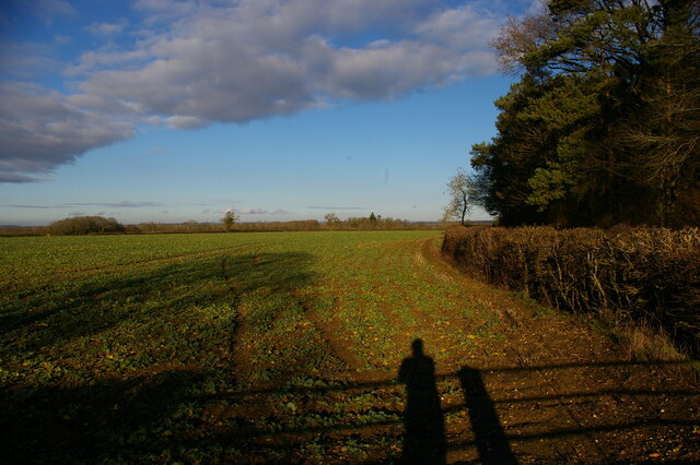
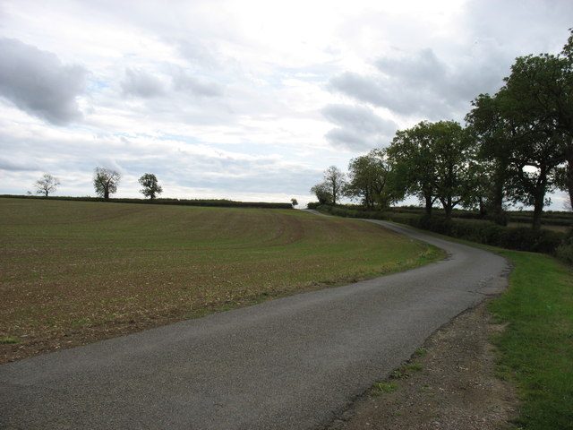
Maidwell is a small village and civil parish located in the county of Northamptonshire, England. It is situated approximately 10 miles north-west of Northampton and 8 miles south-east of Market Harborough. The village is nestled in the picturesque countryside of the Welland Valley, offering residents and visitors stunning views and a peaceful atmosphere.
Historically, Maidwell has a rich heritage dating back to the Saxon period, with several notable historical landmarks still standing. The village church, St. Mary the Virgin, is an impressive Grade I listed building, featuring elements of Norman and Gothic architecture. It serves as a reminder of the area's religious and architectural history.
The village itself is characterized by its charming thatched cottages and traditional stone houses, giving it a quintessentially English village feel. It is a tight-knit community that prides itself on its friendly and welcoming atmosphere. The local amenities include a village shop, a primary school, and a pub, which serves as a hub for social gatherings and events.
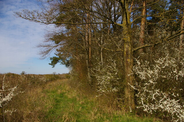
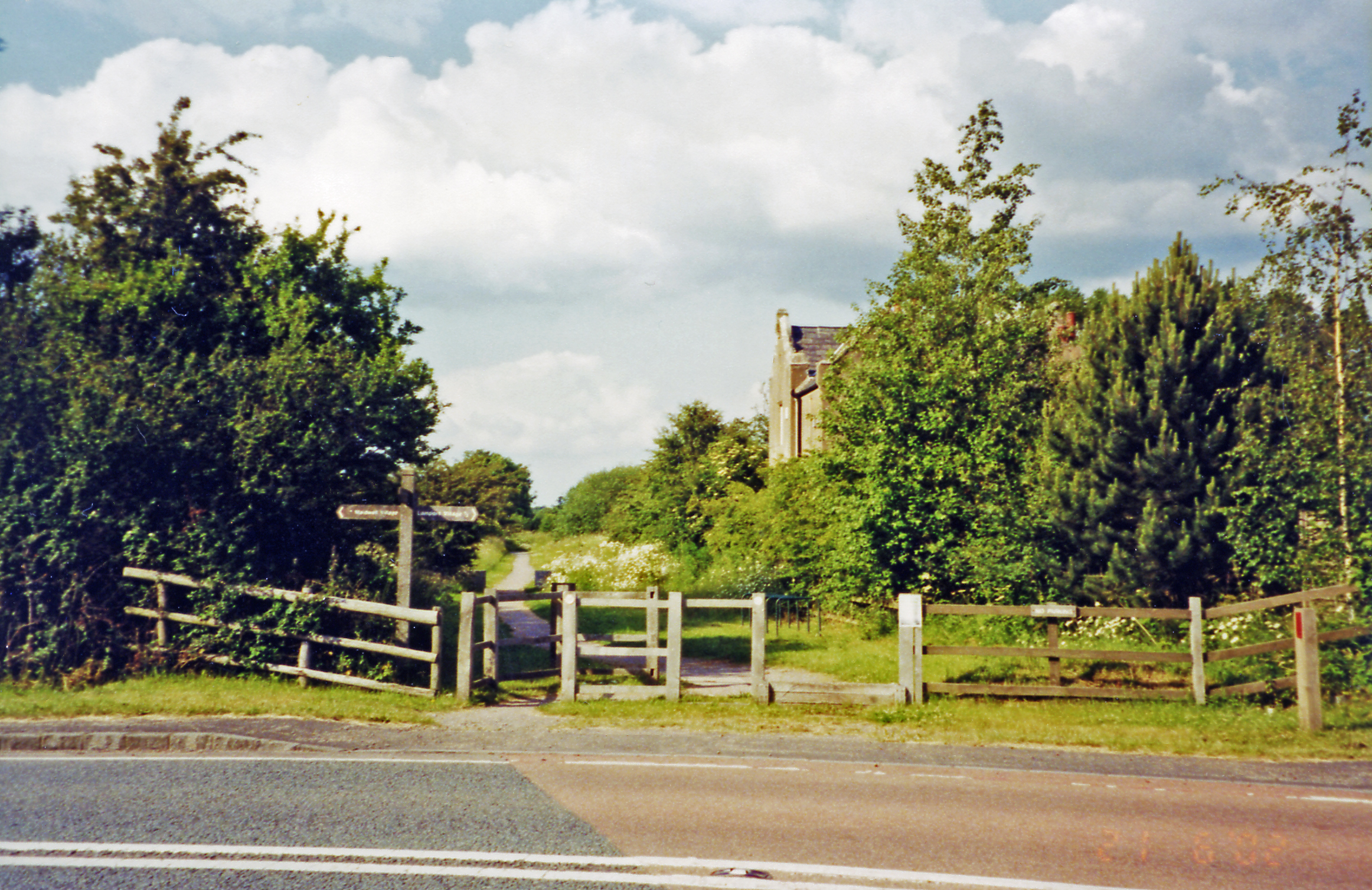
For nature enthusiasts, Maidwell offers easy access to the surrounding countryside, with plenty of walking trails and outdoor activities available. The nearby Brampton Valley Way, a former railway line, provides a scenic route for walkers and cyclists. The village also boasts a cricket ground and a bowling green, offering recreational activities for residents of all ages.
Overall, Maidwell is a charming and idyllic village, providing a peaceful rural lifestyle while still being within easy reach of larger towns and cities. Its rich history, stunning landscapes, and strong sense of community make it an attractive place to live or visit.
If you have any feedback on the listing, please let us know in the comments section below.
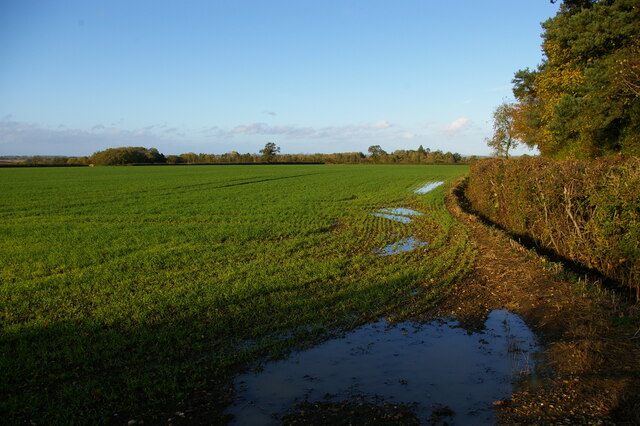
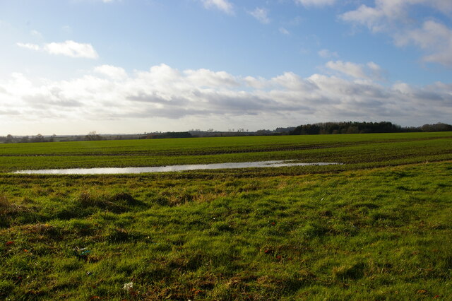
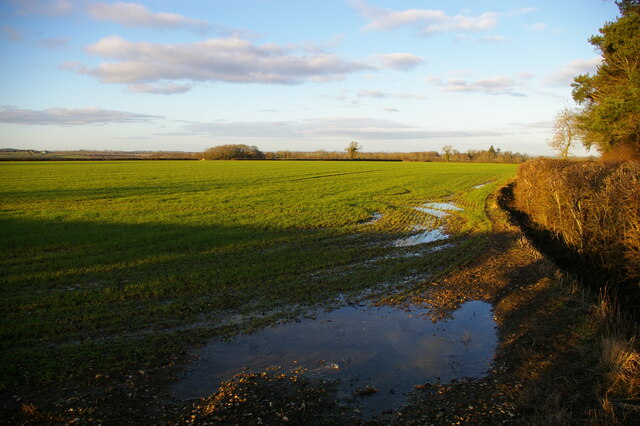
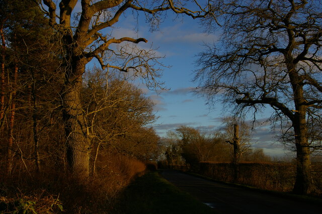
Maidwell Images
Images are sourced within 2km of 52.386237/-0.910995 or Grid Reference SP7477. Thanks to Geograph Open Source API. All images are credited.


Maidwell is located at Grid Ref: SP7477 (Lat: 52.386237, Lng: -0.910995)
Unitary Authority: West Northamptonshire
Police Authority: Northamptonshire
What 3 Words
///calculating.grass.suiting. Near Brixworth, Northamptonshire
Related Wikis

Maidwell
Maidwell is a village and civil parish in West Northamptonshire in England. At the time of the 2001 census, the parish had 325 inhabitants, including Draughton...
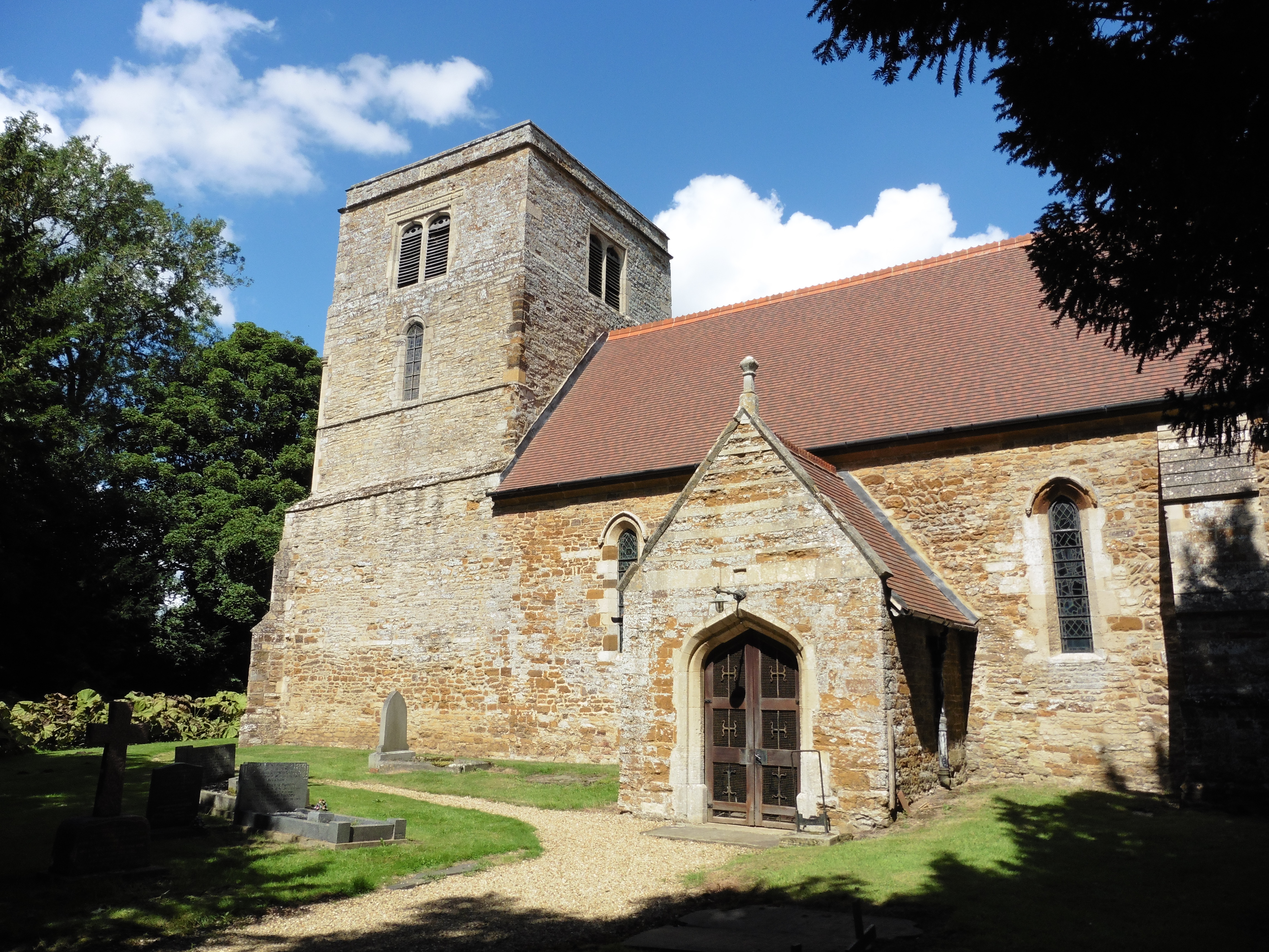
St Mary the Virgin's Church, Maidwell
St Mary the Virgin's Church is an Anglican Church and the parish church of Maidwell, Northamptonshire. It is a Grade II* listed building and stands on...

Draughton, Northamptonshire
Draughton is a village and civil parish in West Northamptonshire, England. It is situated approximately one mile east of Maidwell at grid reference SP762767...

St Catherine's Church, Draughton
St Catherine's Church is an Anglican Church and the parish church of Draughton. It is a Grade II* listed building and stands in the village of Draughton...
Lamport railway station
Lamport railway station on the Northampton and Market Harborough railway opened on 16 February 1859 serving the villages of Lamport, Maidwell, Hanging...
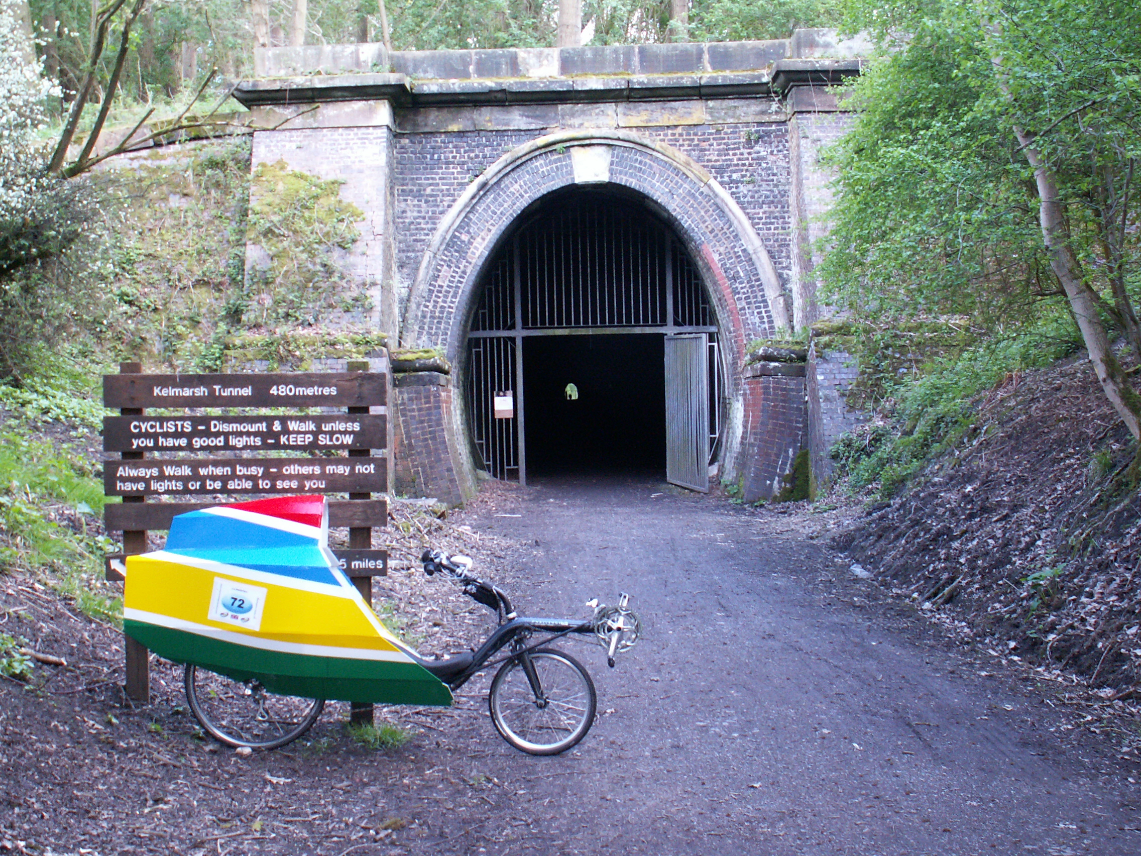
Kelmarsh Tunnel
The Kelmarsh Tunnels are disused railway tunnels in Northamptonshire, England. The Northampton to Market Harborough line opened in 1859 and had tunnels...

Kelmarsh
Kelmarsh is a village and civil parish in West Northamptonshire, England. The population (including Haselbech) of the civil parish at the 2011 Census was...
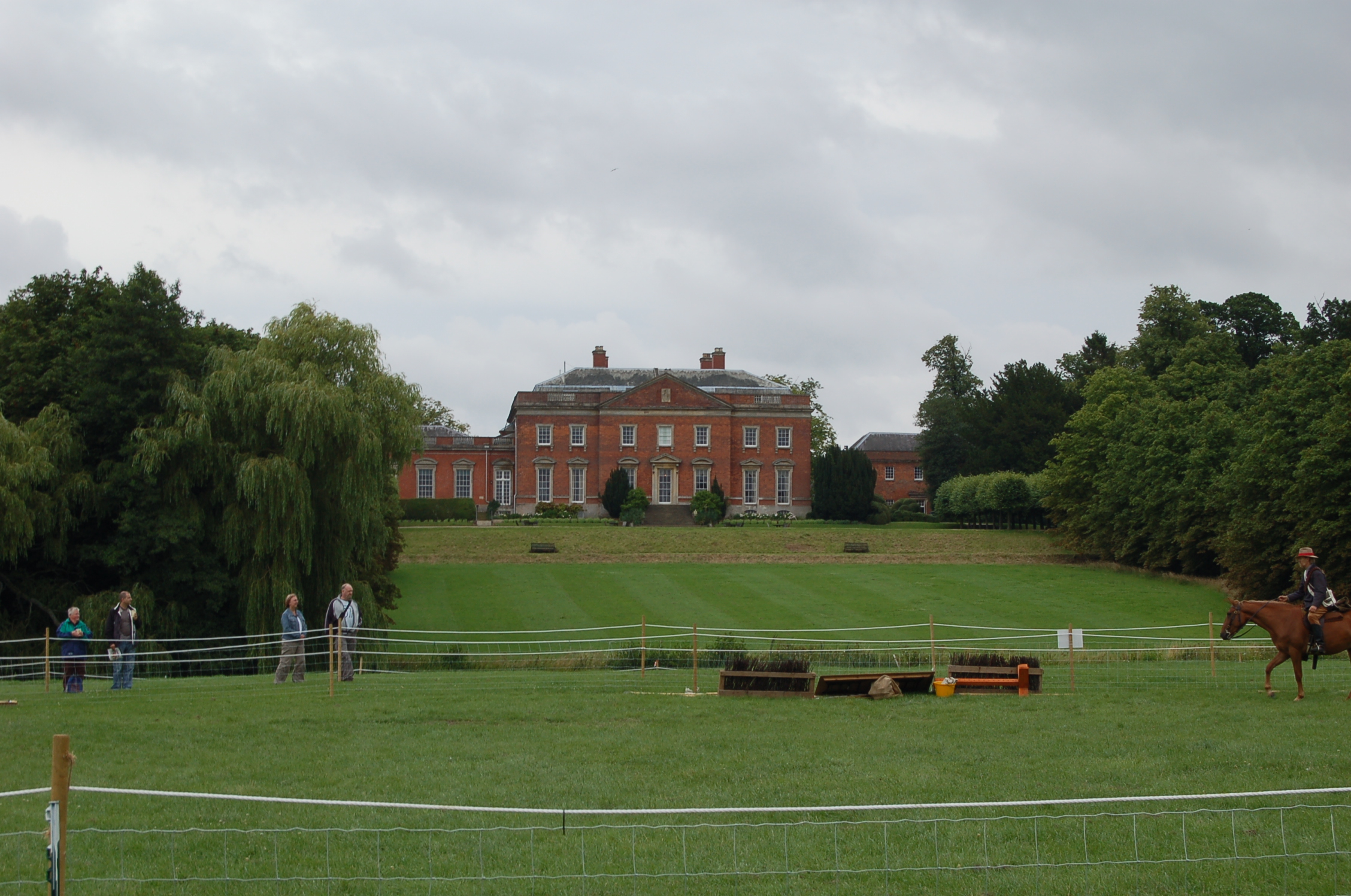
Kelmarsh Hall
Kelmarsh Hall in Northamptonshire, England, is an elegant, 18th-century country house about 5 miles (8.0 km) south of Market Harborough and 11 miles (18...
Nearby Amenities
Located within 500m of 52.386237,-0.910995Have you been to Maidwell?
Leave your review of Maidwell below (or comments, questions and feedback).