Maidford
Civil Parish in Northamptonshire
England
Maidford
Maidford is a civil parish located in the county of Northamptonshire, England. Situated in the South Northamptonshire district, the parish covers an area of approximately 4.5 square miles. It is nestled between the towns of Towcester and Weedon Bec, and is about 8 miles south of Northampton.
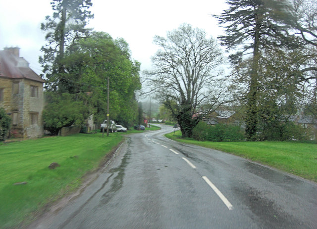
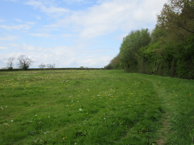
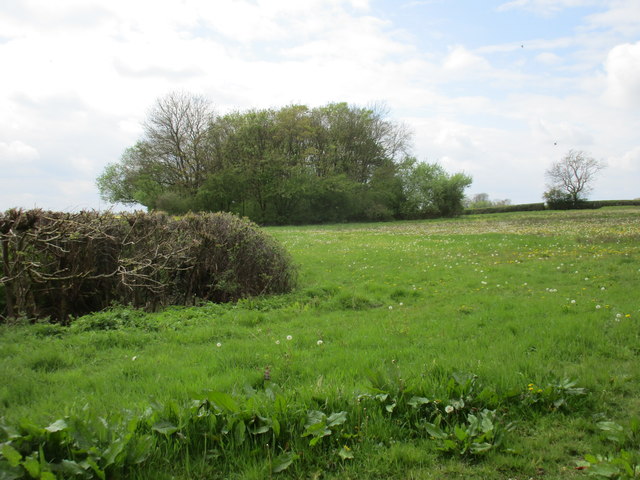
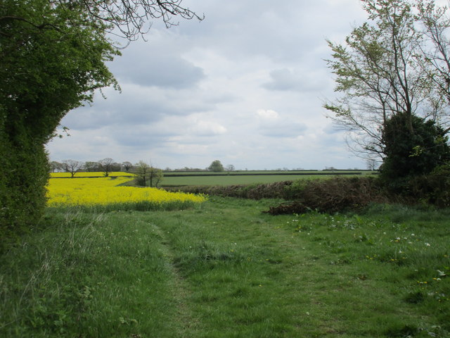
Maidford is a picturesque village with a population of around 200 residents. It is characterized by its charming thatched cottages, historic buildings, and beautiful countryside surroundings. The parish is predominantly rural, with a mix of farmland and open green spaces. The landscape is gently rolling, offering stunning views of the Northamptonshire countryside.
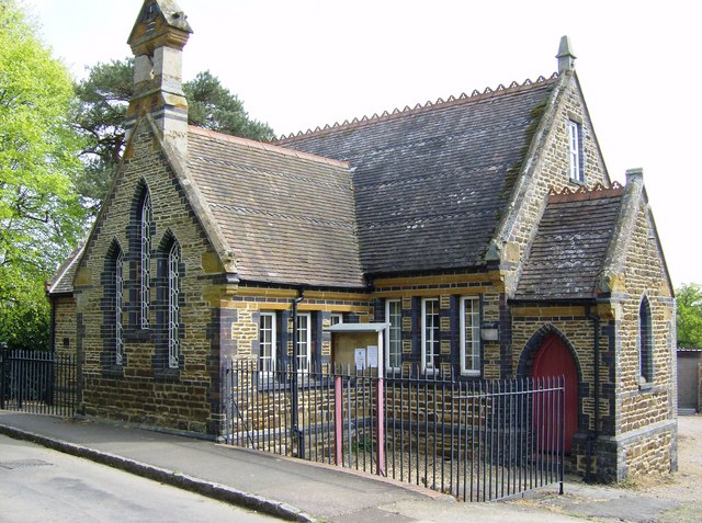
The village itself is centered around the All Saints Church, which dates back to the 13th century and is a Grade I listed building. There is also a village hall that serves as a social hub for the community, hosting various events and activities throughout the year.
Despite its small size, Maidford has a strong sense of community spirit, with residents actively involved in local initiatives and organizations. The village has a friendly and welcoming atmosphere, making it an idyllic place to live or visit.
In terms of amenities, Maidford has limited facilities. However, nearby towns offer a wider range of services, including schools, shops, and healthcare facilities. The village benefits from excellent transport links, with the A5 and M1 motorway easily accessible, providing connections to major cities such as Northampton, Milton Keynes, and London.
Overall, Maidford is a tranquil and charming village, offering a peaceful and rural lifestyle within close proximity to larger towns and cities.
If you have any feedback on the listing, please let us know in the comments section below.
Maidford Images
Images are sourced within 2km of 52.169889/-1.111421 or Grid Reference SP6052. Thanks to Geograph Open Source API. All images are credited.


Maidford is located at Grid Ref: SP6052 (Lat: 52.169889, Lng: -1.111421)
Unitary Authority: West Northamptonshire
Police Authority: Northamptonshire
What 3 Words
///undercuts.dispensed.lodge. Near Weedon Beck, Northamptonshire
Related Wikis

Maidford
Maidford is a civil and ecclesiastical parish in West Northamptonshire and the diocese of Peterborough situated about 6 miles (9.7 km) north-west of Towcester...

Adstone
Adstone is a village and civil parish in West Northamptonshire, England. The population at the 2001 census was 65. It remained than 100 at the 2011 census...
All Saints Church, Adstone
All Saints Church is a Grade II listed church in Adstone, Northamptonshire, England. == References ==
Farthingstone
Farthingstone is a village in West Northamptonshire in England. It is close to the major trunk routes of the M1 junction 16, M40 motorway, and A5 road...
Nearby Amenities
Located within 500m of 52.169889,-1.111421Have you been to Maidford?
Leave your review of Maidford below (or comments, questions and feedback).