Maghull
Civil Parish in Lancashire Sefton
England
Maghull
Maghull is a civil parish located in the county of Lancashire, England. Situated approximately 8 miles north of the city of Liverpool, Maghull is part of the Metropolitan Borough of Sefton. The parish covers an area of around 4.5 square miles and has a population of approximately 21,000 people.
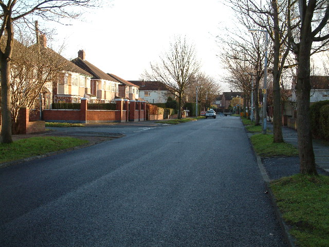
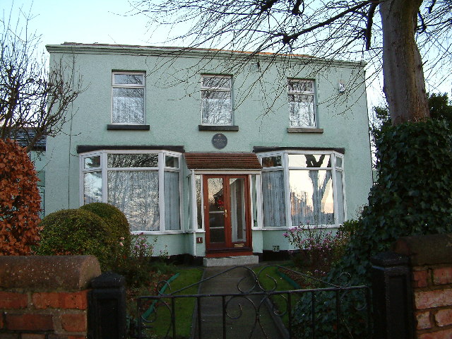
Historically, Maghull was a rural village known for its farming and agricultural activities. However, with the expansion of Liverpool in the 20th century, Maghull has transformed into a suburban area with a mix of residential, commercial, and industrial developments.
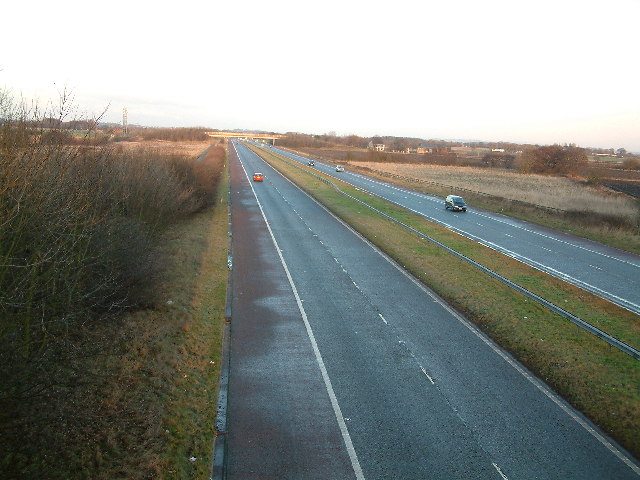
The parish is well-connected to surrounding areas, with excellent transportation links. The M58 motorway passes through Maghull, providing easy access to other parts of Lancashire and the wider North West region. Maghull also has its own railway station, enabling residents to easily commute to Liverpool and other nearby towns.
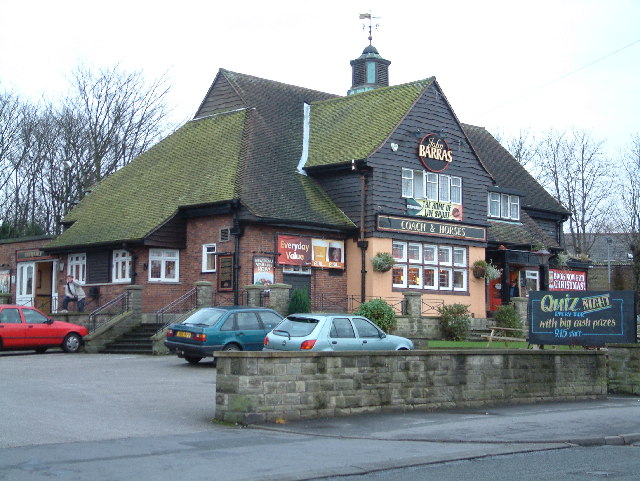
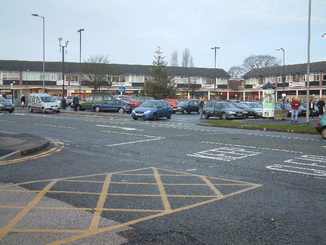
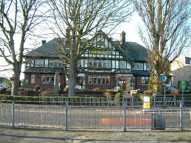
Maghull offers a range of amenities and services to its residents. The town center features a variety of shops, supermarkets, restaurants, and cafes. There are also several schools, including primary and secondary schools, as well as a college.
For recreational activities, Maghull is home to several parks and green spaces, providing opportunities for outdoor activities and leisure. The Leeds and Liverpool Canal runs through the parish, offering picturesque walking and cycling routes.
In summary, Maghull is a vibrant civil parish that has evolved from a rural village to a suburban area. With its convenient location, good transport links, and a range of amenities, Maghull continues to attract residents and visitors alike.
If you have any feedback on the listing, please let us know in the comments section below.
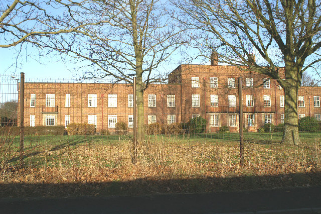
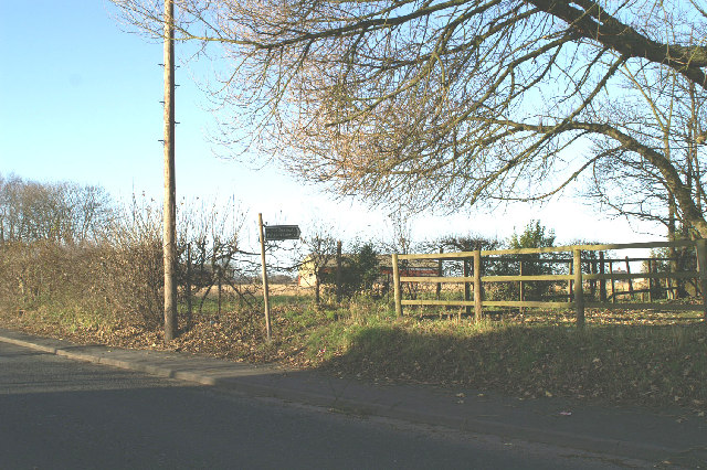
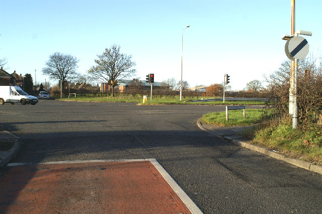
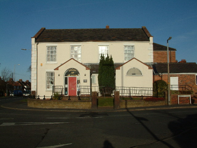
Maghull Images
Images are sourced within 2km of 53.511837/-2.937902 or Grid Reference SD3702. Thanks to Geograph Open Source API. All images are credited.


Maghull is located at Grid Ref: SD3702 (Lat: 53.511837, Lng: -2.937902)
Administrative County: Merseyside
District: Sefton
Police Authority: Merseyside
What 3 Words
///outfitter.twinkling.remix. Near Maghull, Merseyside
Related Wikis

Deyes High School
Deyes High School is a coeducational secondary school and sixth form situated in Maghull on the outskirts of Liverpool, England. == History == The school...
Maricourt Catholic School
Maricourt Catholic School, in Maghull, Merseyside, United Kingdom, formerly Mater Misericordiae Grammar School, was one of two Roman Catholic secondary...
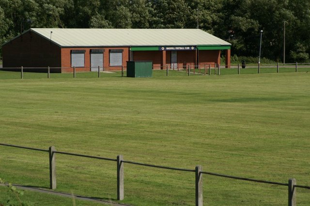
Maghull F.C.
Maghull Football Club are a football club based in Maghull, Merseyside, England. They are currently members of the Carlsberg West Cheshire League Division...
Kennessee Green
Kennessee Green is a village in the southern half of Maghull in Metropolitan Borough of Sefton, Merseyside, England. Kennessee Green has two churches:...
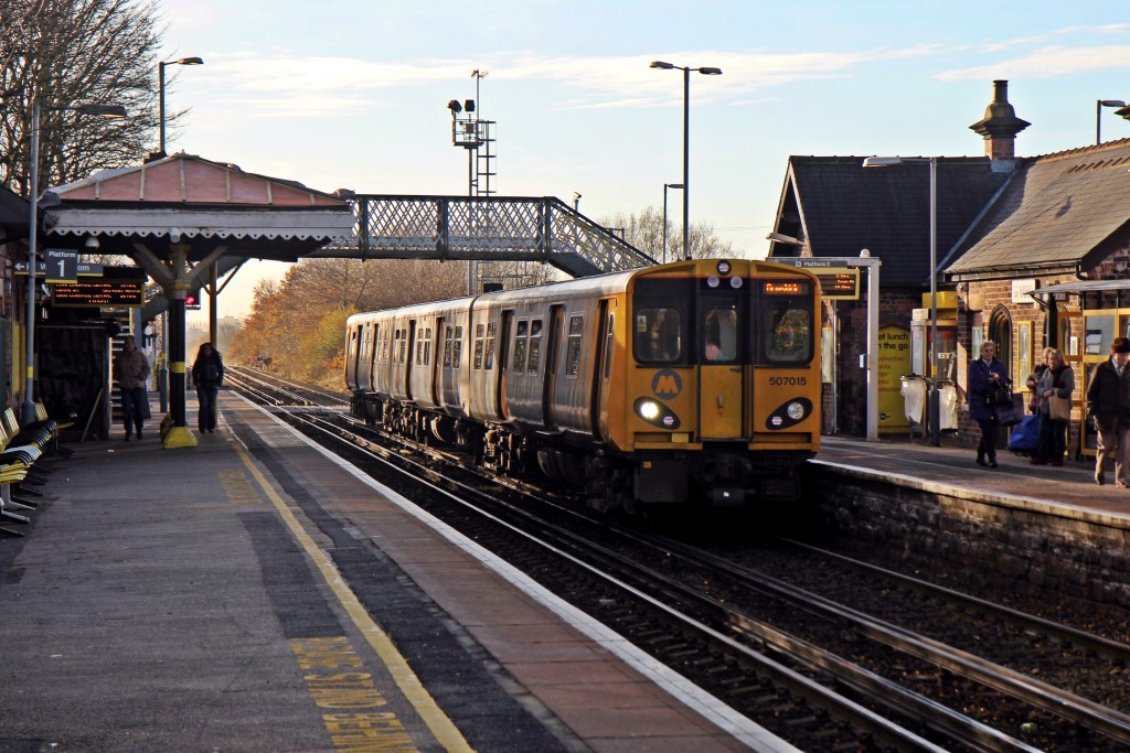
Maghull railway station
Maghull railway station is a railway station in Maghull, a suburb of Liverpool, England. It is situated on the Ormskirk branch of the Northern Line of...

Maghull
Maghull ( mə-GUL) is a town and civil parish in Sefton, Merseyside (historically a part of Lancashire). The town is north of Liverpool and west of Kirkby...
Park (Sefton ward)
Park is a Metropolitan Borough of Sefton ward in the Sefton Central Parliamentary constituency that covers the villages of Sefton, Lunt, Lydiate and the...
Maghull High School
Maghull High School is one of three secondary schools in Maghull. == History == The school was established in 1982 by the merger of Ormonde Drive High...
Nearby Amenities
Located within 500m of 53.511837,-2.937902Have you been to Maghull?
Leave your review of Maghull below (or comments, questions and feedback).