Broomhill

Settlement in Norfolk King's Lynn and West Norfolk

England

Broomhill

Downham Market: The High Street from Paradise Road
Downham Market: The High Street from Paradise Road Credit: Michael Garlick

Broomhill is a charming village located in the county of Norfolk, England. Situated on the eastern coast of the country, it is part of the district of North Norfolk. Broomhill is a small village with a population of around 300 residents.

The village is known for its picturesque countryside and tranquil atmosphere, making it an ideal location for those seeking a peaceful and rural lifestyle. Broomhill is surrounded by rolling green fields, dotted with grazing livestock, and is encompassed by the natural beauty of the Norfolk Broads, which are just a short distance away.

The village itself boasts a few amenities, including a local pub and a small convenience store, catering to the daily needs of its residents. The village also has a primary school, ensuring that families have access to education within close proximity.

Broomhill is well-positioned for those who enjoy outdoor activities, with many walking and cycling routes in the vicinity. The stunning coastline is easily accessible, providing opportunities for beach walks, birdwatching, and water sports.

For those looking to explore beyond the village, the nearby town of Holt offers a wider range of amenities, including shops, restaurants, and cultural attractions.

In summary, Broomhill is a quaint and peaceful village in Norfolk that offers a tranquil lifestyle surrounded by beautiful countryside and close proximity to the Norfolk Broads and coastal areas.

If you have any feedback on the listing, please let us know in the comments section below.
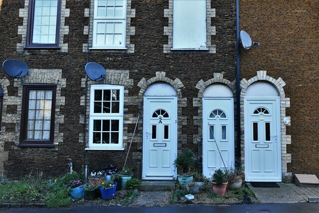
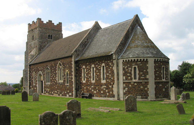
Broomhill Images

Images are sourced within 2km of 52.611205/0.386783 or Grid Reference TF6104. Thanks to Geograph Open Source API. All images are credited.

Downham Market: The High Street from Paradise Road
Downham Market: The High Street
Downham Market: 'Living in Paradise' furniture store
Downham Market: 'Living in Paradise' furniture store (interior) 1
Downham Market: 'Living in Paradise' furniture store (interior) 2
Downham Market: The Market Place
Downham Market: 'Living in Paradise' furniture store (interior) 3
Downham Market: 5, 5a Paradise Road and seemingly a second front door for one of them in between
Downham Market, St. Edmunds Church: South porch
Downham Market: The Town Hall and Town Pump in the foreground
Downham Market Clock Tower: Presented to the town by James Scott in 1878, renovated 2004
Downham Market: Plaque on the Town Hall
Downham Market: The Market Place
Downham Market: The Town Pump
Downham Market Clock Tower: Presented to the town by James Scott in 1878, renovated 2004
Downham Market: The Town Hall and Town Pump in the foreground
Show me another place!

Broomhill is located at Grid Ref: TF6104 (Lat: 52.611205, Lng: 0.386783)

Administrative County: Norfolk

District: King's Lynn and West Norfolk

Police Authority: Norfolk

What 3 Words

///fallback.handover.staging. Near Downham Market, Norfolk

Related Wikis

Downham Town F.C.

Downham Town Football Club is a football club based in Downham Market, Norfolk, England. Affiliated to the Norfolk County Football Association, they are...

Downham Market Academy

Downham Market Academy (formerly Downham Market High School) is a coeducational secondary school and sixth form with academy status, situated in Downham...

Wimbotsham

Wimbotsham is a village and civil parish in the English county of Norfolk. It is situated close to the River Great Ouse, 2 km (1.2 mi) north of the town...

St Dominic, Downham Market

Saint Dominic's Church in Downham Market is the parish church serving the Roman Catholic population of Downham Market and the surrounding areas of Norfolk...

Nearby Amenities

Located within 500m of 52.611205,0.386783
Leisure: playground
Lat/Long: 52.6094627/0.3923198
Barrier: swing_gate
Lat/Long: 52.6095946/0.3817585
Recycling
Lat/Long: 52.6096242/0.3868155
Leigh Clarke Auto Care
Shop: car_repair
Lat/Long: 52.6124641/0.3916666
Dial Cottage
Tourism: guest_house
Lat/Long: 52.6105995/0.3877644
Bus Stop
Lancaster Crescent, W-bound
Bus: yes
Naptan AtcoCode: 2900D174
Naptan Bearing: W
Naptan CommonName: Lancaster Crescent
Naptan Indicator: W-bound
Naptan Locality: Downham Market
Naptan NaptanCode: nfoapadt
Naptan Street: Retreat Estate
Naptan Verified: no
Public Transport: platform
Source: naptan_import
Lat/Long: 52.6074068/0.3892049
Bus Stop
Stirling Close, adj
Bus: yes
Naptan AtcoCode: 2900D1741
Naptan Bearing: E
Naptan CommonName: Stirling Close
Naptan Indicator: adj
Naptan Landmark: Stirling Close
Naptan Locality: Downham Market
Naptan NaptanCode: nfogmwmg
Naptan Street: Retreat Estate
Naptan Verified: no
Public Transport: platform
Source: naptan_import
Lat/Long: 52.6085729/0.3900412
Bus Stop
The Firs, adj
Bus: yes
Naptan AtcoCode: 2900D1729
Naptan Bearing: SW
Naptan CommonName: The Firs
Naptan Indicator: adj
Naptan Landmark: public house
Naptan Locality: Downham Market
Naptan NaptanCode: nfoamwtg
Naptan ShortCommonName: The Firs
Naptan Street: Lynn Road
Naptan Verified: no
Public Transport: platform
Source: naptan_import
Lat/Long: 52.6082816/0.3851228
Bus Stop
The Firs, opp
Bus: yes
Naptan AtcoCode: 2900D1768
Naptan Bearing: NE
Naptan CommonName: The Firs
Naptan Indicator: opp
Naptan Landmark: public house
Naptan Locality: Downham Market
Naptan NaptanCode: nfogmpaj
Naptan ShortCommonName: The Firs
Naptan Street: Downham Market Lynn Road
Naptan Verified: no
Public Transport: platform
Source: naptan_import
Lat/Long: 52.6087138/0.3856147
Post Box
Collection Times: Mo-Fr 09:00; Sa 07:00
Operator: Royal Mail
Post Box Mounting: telegraph_pole
Post Box Type: lamp
Ref: PE38 415D
Royal Cypher: EIIR
Royal Cypher Wikidata: Q33102113
Lat/Long: 52.6075241/0.3867967
Post Box
Collection Times: Mo-Fr 09:00; Sa 07:00
Operator: Royal Mail
Post Box Mounting: wooden_post
Post Box Type: lamp
Ref: PE38 256
Lat/Long: 52.6116104/0.3898741
Bus Stop
Civray Avenue, opp
Bus: yes
Naptan AtcoCode: 2900D1730
Naptan Bearing: NE
Naptan CommonName: Civray Avenue
Naptan Indicator: opp
Naptan Landmark: Civray Avenue
Naptan Locality: Downham Market
Naptan NaptanCode: nfoamwtj
Naptan ShortCommonName: Civray Avenue
Naptan Street: Lynn Road
Naptan Verified: no
Public Transport: platform
Source: naptan_import
Lat/Long: 52.6076767/0.3834864
Bus Stop
Low Road, adj
Bus: yes
Naptan AtcoCode: 2900D1727
Naptan Bearing: NE
Naptan CommonName: Low Road
Naptan Indicator: adj
Naptan Landmark: Low Road
Naptan Locality: Downham Market
Naptan NaptanCode: nfoamwta
Naptan ShortCommonName: Low Road
Naptan Street: Lynn Road
Naptan Verified: no
Public Transport: platform
Source: naptan_import
Lat/Long: 52.6126748/0.3908661
Bus Stop
Low Road, opp
Bus: yes
Naptan AtcoCode: 2900D1728
Naptan Bearing: SW
Naptan BusStopType: CUS
Naptan CommonName: Low Road
Naptan Indicator: opp
Naptan Landmark: Low Road
Naptan Locality: Downham Market
Naptan NaptanCode: nfoamwtd
Naptan ShortCommonName: Low Road
Naptan Street: Lynn Road
Naptan Verified: no
Public Transport: platform
Source: naptan_import
Lat/Long: 52.6125733/0.3909936
Bus Stop
Kingfisher Road, adj
Alt Name: Clackclose- Kingfisher
Bus: yes
Naptan AltCommonName: Clackclose- Kingfisher
Naptan AtcoCode: 2900D1760
Naptan Bearing: SW
Naptan CommonName: Kingfisher Road
Naptan Indicator: adj
Naptan Locality: Downham Market
Naptan NaptanCode: nfogmdag
Naptan Street: Wimbotsham Rd
Naptan Verified: no
Public Transport: platform
Source: naptan_import
Lat/Long: 52.6118925/0.3823886
Power: pole
Lat/Long: 52.6138342/0.3810759
Power: pole
Lat/Long: 52.6140126/0.3823968
Power: pole
Lat/Long: 52.6142577/0.3838799
Power: pole
Lat/Long: 52.6145155/0.3854297
Power: pole
Lat/Long: 52.6147837/0.3870175
Power: pole
Lat/Long: 52.6150449/0.3885997
Addr City: Downham Market
Addr Street: Wimbotsham Road
Lat/Long: 52.6105836/0.3802953
Kerb: lowered
Lat/Long: 52.6105838/0.3868159
War Memorial (1938-1945)
Historic: memorial
Memorial: war_memorial
Lat/Long: 52.6085665/0.3841952
Waste Basket
Lat/Long: 52.6093774/0.3861588
Waste Basket
Waste: dog_excrement
Lat/Long: 52.6097003/0.3864466
Car Wash
Hand Car Wash
Lat/Long: 52.6125354/0.3913182
Waste Basket
Waste: dog_excrement
Lat/Long: 52.610989/0.3803641
Waste Basket
Lat/Long: 52.6091127/0.3834003
Waste Basket
Lat/Long: 52.6085512/0.3850847
Waste Basket
Waste: dog_excrement
Lat/Long: 52.6085357/0.3851303
Waste Basket
Lat/Long: 52.6082942/0.3851894
Waste Basket
Lat/Long: 52.6080975/0.3845034
Generator Source: solar
Location: roof
Power: generator
Lat/Long: 52.6101868/0.3873445
The data included in this document is from www.openstreetmap.org. The data is made available under ODbL.

Have you been to Broomhill?

Leave your review of Broomhill below (or comments, questions and feedback).