Lydiate
Civil Parish in Lancashire Sefton
England
Lydiate

Lydiate is a civil parish located in the county of Lancashire, England. It is situated approximately 10 miles north of the city of Liverpool and falls within the local government district of West Lancashire. The parish covers an area of around 4 square miles and is home to a population of approximately 7,000 residents.
Lydiate is a predominantly rural area, characterized by its picturesque countryside and charming villages. The village of Lydiate itself is the largest settlement within the parish and serves as its administrative center. The village is known for its historic buildings, including St. Catherine's Chapel, a Grade II* listed building dating back to the 15th century.
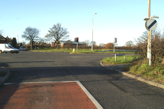
The parish is well-connected to surrounding areas via road and public transportation. The A59 road runs through Lydiate, providing easy access to nearby towns and cities. The village is also served by regular bus services, connecting residents to Liverpool, Ormskirk, and other nearby destinations.
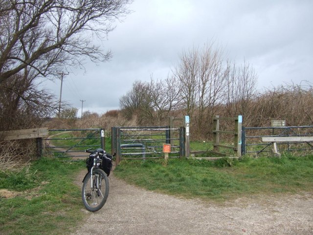
Lydiate offers a range of amenities for its residents, including local shops, schools, and recreational facilities. The area is popular among outdoor enthusiasts, with a number of walking and cycling routes available in the surrounding countryside.
Overall, Lydiate is a peaceful and idyllic civil parish, offering a rural lifestyle within close proximity to larger urban centers. Its rich history, beautiful landscapes, and convenient location make it an attractive place to live for both families and individuals seeking a quiet retreat.
If you have any feedback on the listing, please let us know in the comments section below.
Lydiate Images
Images are sourced within 2km of 53.533566/-2.952248 or Grid Reference SD3604. Thanks to Geograph Open Source API. All images are credited.


Lydiate is located at Grid Ref: SD3604 (Lat: 53.533566, Lng: -2.952248)
Administrative County: Merseyside
District: Sefton
Police Authority: Merseyside
What 3 Words
///health.incurring.thrilled. Near Maghull, Merseyside
Related Wikis
Lydiate
Lydiate is a village and civil parish in the Metropolitan Borough of Sefton on Merseyside, England but historically in Lancashire. It is located 1.5 miles...

Lordship of Lydiate
The manor of Lydiate is situated about 10 miles (16 km) from Liverpool on the Southport Road. From the Domesday Book it appears that: Uctred held Lydiate...
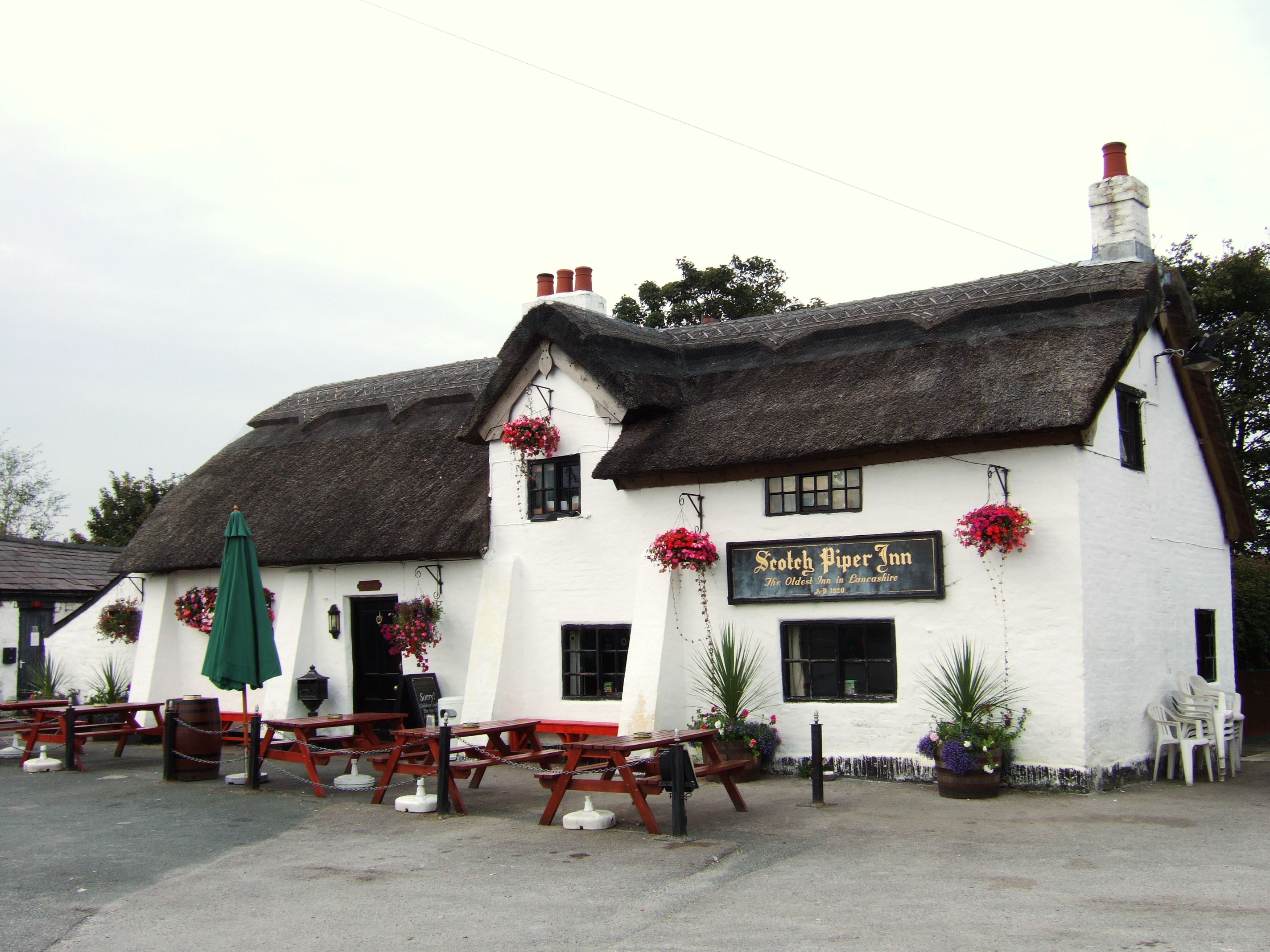
Scotch Piper Inn
The Scotch Piper Inn in Lydiate, North West, England is the oldest pub in the historic county of Lancashire. The building dates from 1320 and is a Grade...
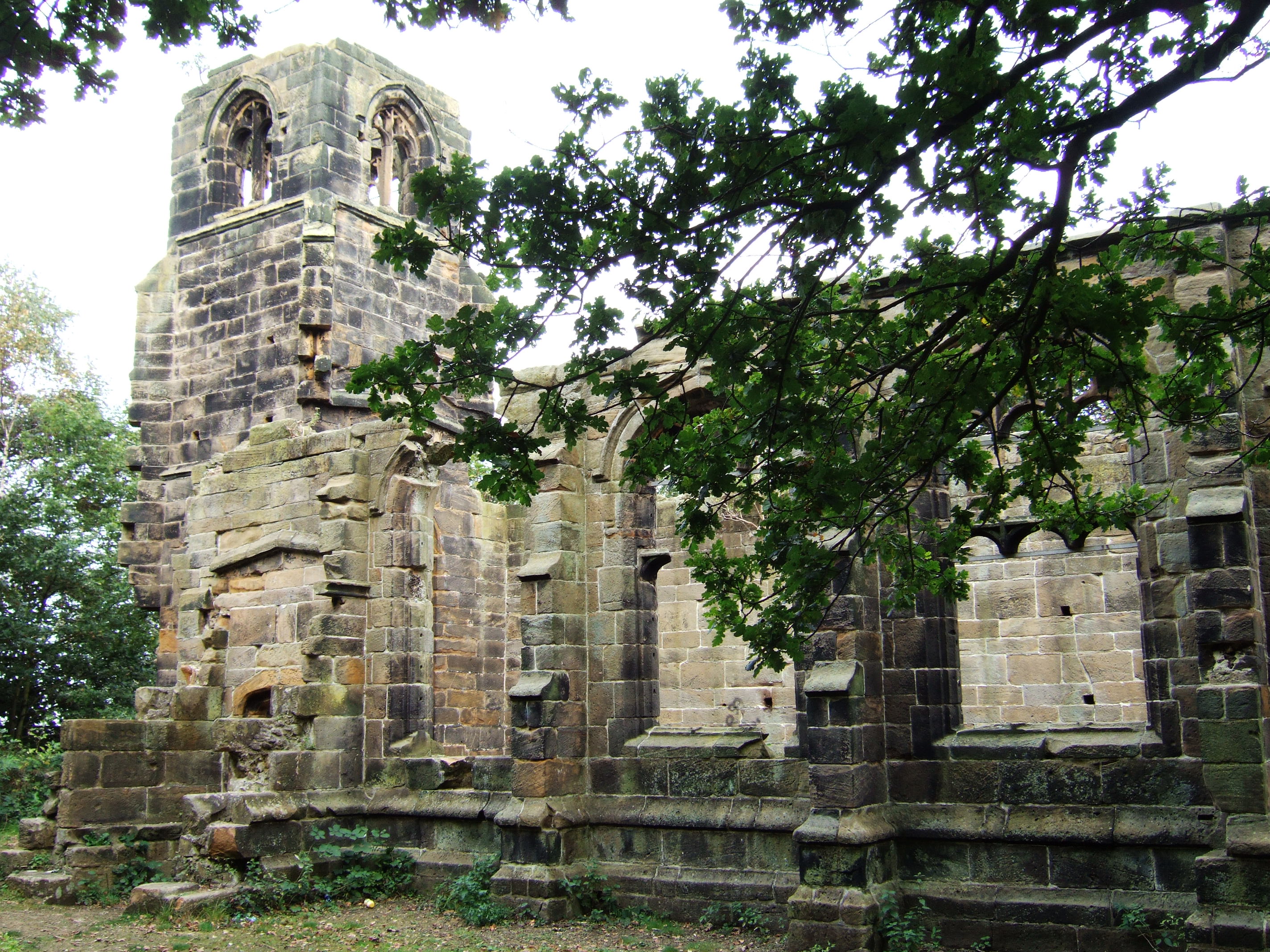
St Catherine's Chapel, Lydiate
St Catherine's Chapel, located in Lydiate, Merseyside, England, and known locally as Lydiate Abbey, was built c. 1500 for the private worship of the Ireland...
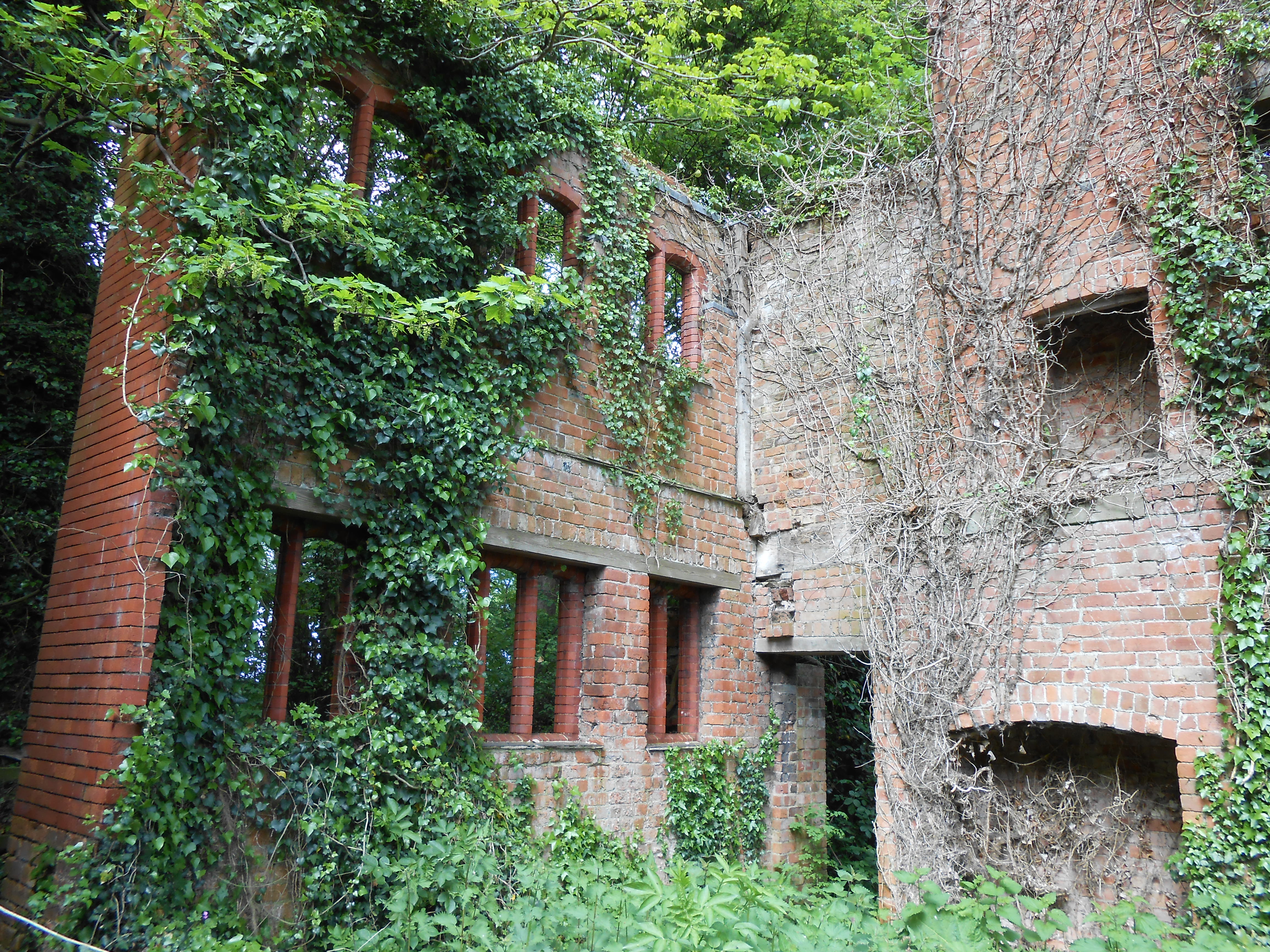
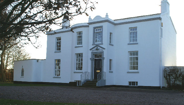
Lydiate Hall
Lydiate Hall was a 16th-century hall in Lydiate, Merseyside, England. The hall was a black-and-white half-timbered house, and was similar in design to...
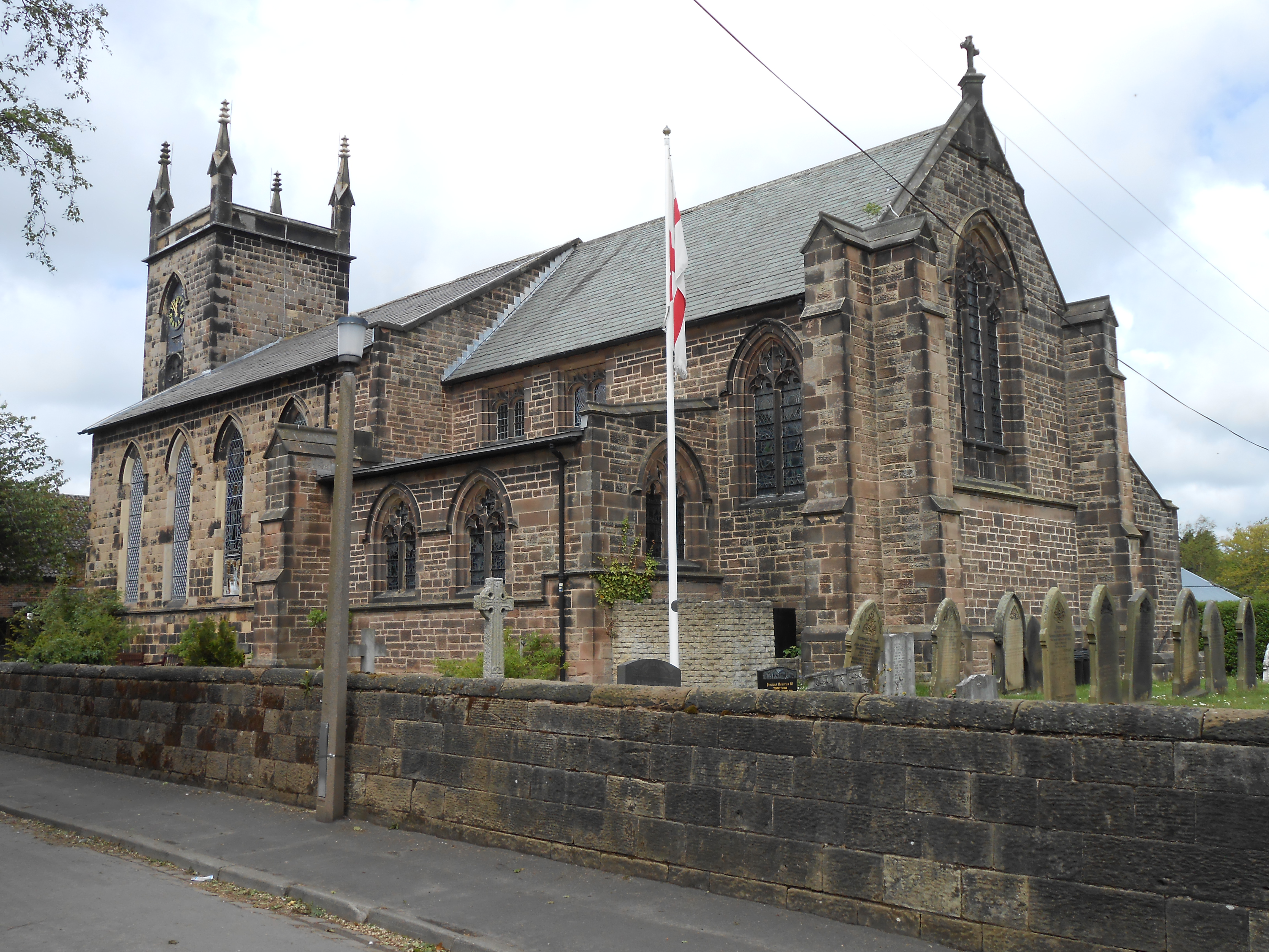
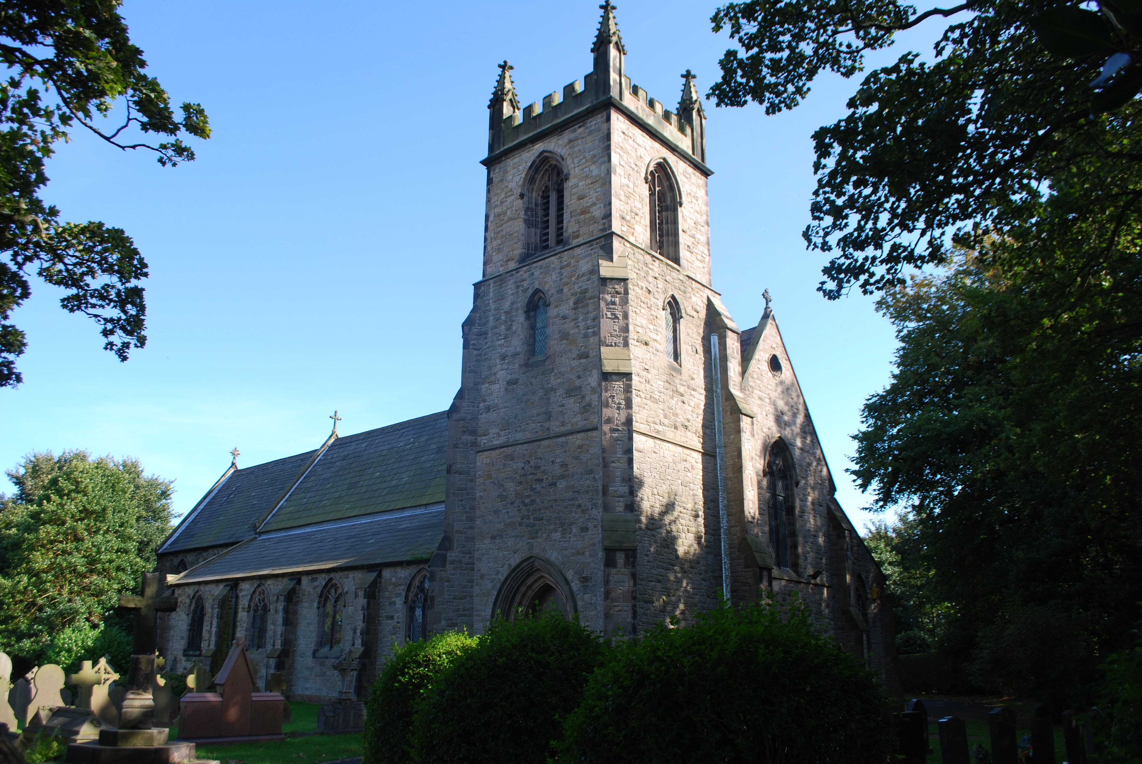
St Thomas' Church, Lydiate
St Thomas' Church is in Church Lane, Lydiate, Sefton, Merseyside, England. It is an active Anglican parish church in the deanery of Ormskirk, the archdeaconry...
Lydiate railway station
Lydiate railway station was a station located on the Southport & Cheshire Lines Extension Railway off Carr Lane, just outside Lydiate. The Merseyside and...

Park (Sefton ward)
Park is a Metropolitan Borough of Sefton ward in the Sefton Central Parliamentary constituency that covers the villages of Sefton, Lunt, Lydiate and the...
Nearby Amenities
Located within 500m of 53.533566,-2.952248Have you been to Lydiate?
Leave your review of Lydiate below (or comments, questions and feedback).