Loversall

Civil Parish in Yorkshire Doncaster

England

Loversall

Mother Drain A walk around Potteric Carr nature reserve.
Mother Drain Credit: steven ruffles

Loversall is a civil parish located in the metropolitan borough of Doncaster, in South Yorkshire, England. It is situated approximately 5 miles southeast of the town of Doncaster and covers an area of around 1,000 acres. The parish is primarily rural, characterized by open fields, farmland, and scattered residential properties.

The village of Loversall itself is small, with a population of around 200 residents. It features a picturesque church, dedicated to St. Katherine, which dates back to the 12th century and is a Grade II listed building. The church serves as a focal point for the community and holds regular religious services.

The surrounding countryside offers beautiful landscapes and is popular for outdoor activities such as walking, cycling, and horse riding. Loversall is also known for its proximity to the historic Brodsworth Hall and Gardens, a Victorian country house that attracts visitors from near and far.

As a civil parish, Loversall has a Parish Council that represents the interests of the local community and helps maintain the village's infrastructure and amenities. It also participates in larger-scale decision-making processes within the borough of Doncaster.

Overall, Loversall is a quiet and charming rural parish, offering a peaceful environment for its residents and visitors to enjoy the natural beauty of Yorkshire's countryside.

If you have any feedback on the listing, please let us know in the comments section below.
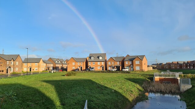
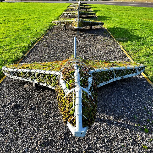
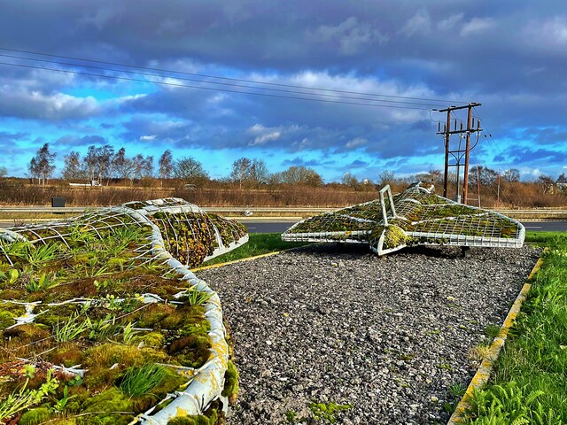
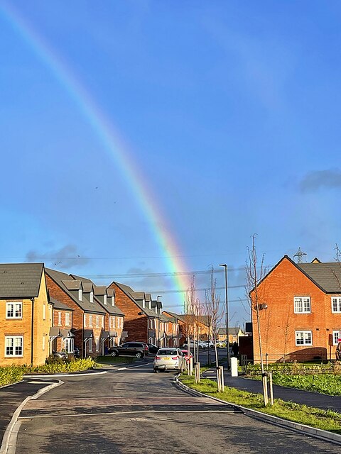
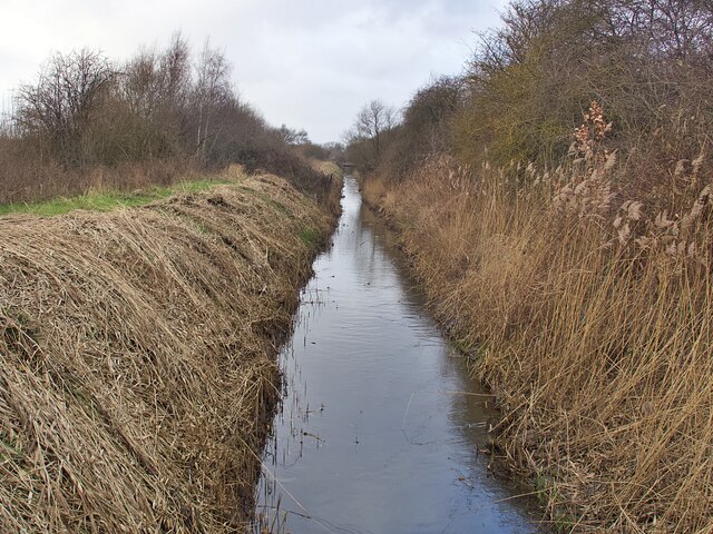
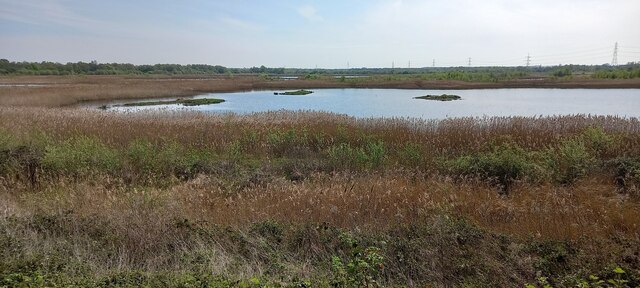
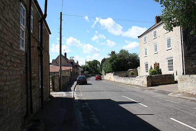
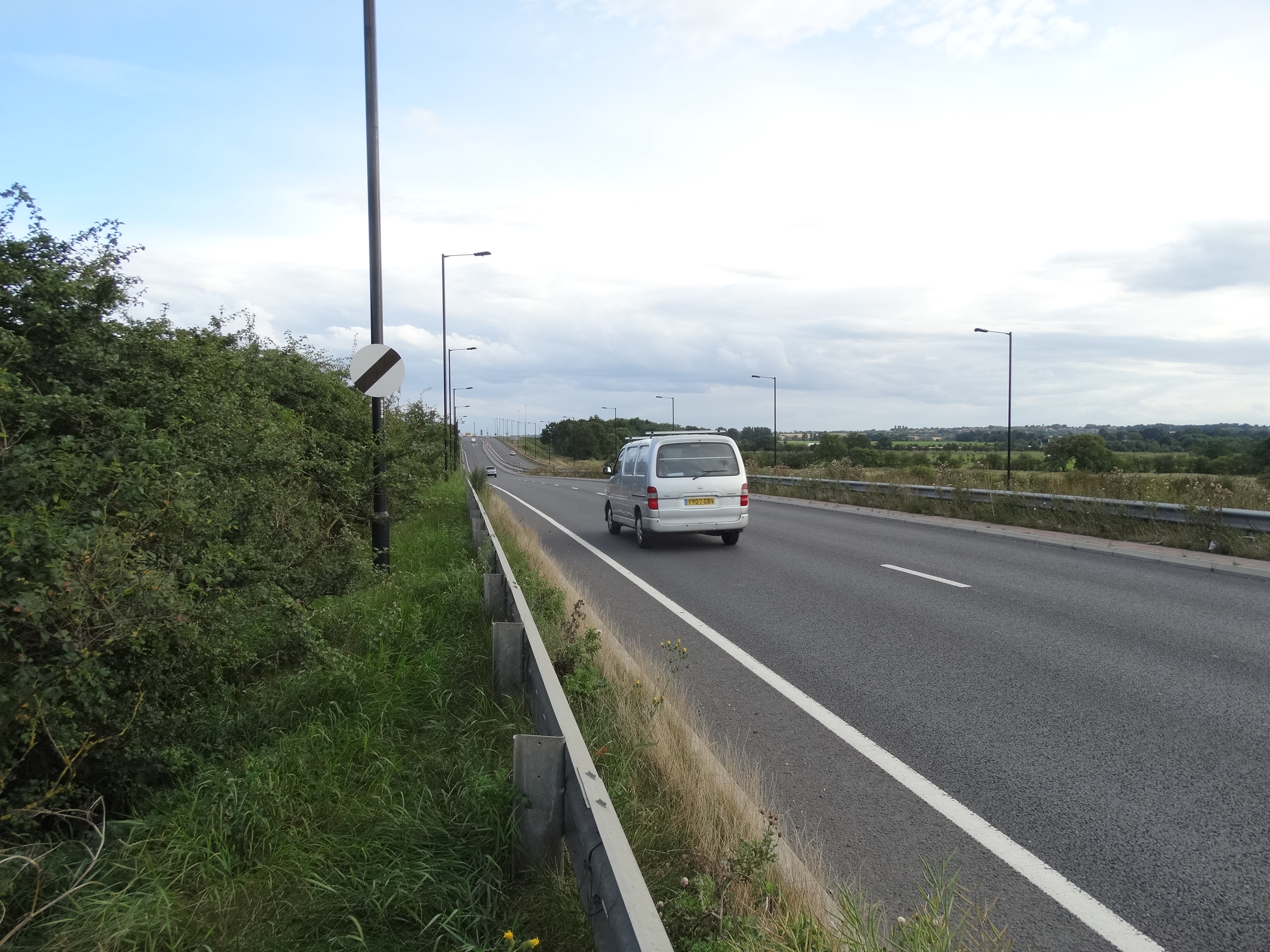
Loversall Images

Images are sourced within 2km of 53.486389/-1.115086 or Grid Reference SK5899. Thanks to Geograph Open Source API. All images are credited.

Mother Drain A walk around Potteric Carr nature reserve.
Mother Drain
A walk around Potteric Carr nature reserve.
View from Roger Mitchell Hide, Potteric Carr
Rainbow over Pheasant Hill Park From Harworth Plc's website "The building of new homes on the former Rossington colliery site – now known as Pheasant Hill Park – forms a key part of a wider ‘Gateway to the Sheffield City region’ programme that is a game-changing proposition for Yorkshire’s economy." See; <span class="nowrap"><a title="https://harworthgroup.com/projects/pheasant-hill-park/" rel="nofollow ugc noopener" href="https://harworthgroup.com/projects/pheasant-hill-park/">Link</a><img style="margin-left:2px;" alt="External link" title="External link - shift click to open in new window" src="https://s1.geograph.org.uk/img/external.png" width="10" height="10"/></span>

Making more from property development than coal.
Rainbow over Pheasant Hill Park
From Harworth Plc's website "The building of new homes on the former Rossington colliery site – now known as Pheasant Hill Park – forms a key part of a wider ‘Gateway to the Sheffield City region’ programme that is a game-changing proposition for Yorkshire’s economy." See; LinkExternal link Making more from property development than coal.
Vulcan sculpture  These plant-filled sculptures of Vulcan bombers are on a roundabout on the A6182 Great Yorkshire Way. They commemorate the aeroplanes of 101 Squadron which was based at nearby RAF Finningley (now Doncaster Sheffield Airport).
Vulcan sculpture
These plant-filled sculptures of Vulcan bombers are on a roundabout on the A6182 Great Yorkshire Way. They commemorate the aeroplanes of 101 Squadron which was based at nearby RAF Finningley (now Doncaster Sheffield Airport).
Vulcan sculpture These plant-filled sculptures of Vulcan bombers are on a roundabout on the A6182 Great Yorkshire Way. They commemorate the aeroplanes of 101 Squadron which was based at nearby RAF Finningley (now Doncaster Sheffield Airport).
Vulcan sculpture
These plant-filled sculptures of Vulcan bombers are on a roundabout on the A6182 Great Yorkshire Way. They commemorate the aeroplanes of 101 Squadron which was based at nearby RAF Finningley (now Doncaster Sheffield Airport).
Vulcan bomber sculpture (detail) Two of the six plant-filled sculptures of Vulcan bombers on a roundabout on the A6182 Great Yorkshire Way. They commemorate the aeroplanes of 101 Squadron which was based at nearby RAF Finningley (now Doncaster Sheffield Airport).
Vulcan bomber sculpture (detail)
Two of the six plant-filled sculptures of Vulcan bombers on a roundabout on the A6182 Great Yorkshire Way. They commemorate the aeroplanes of 101 Squadron which was based at nearby RAF Finningley (now Doncaster Sheffield Airport).
Rainbow over Pheasant Hill Park A new housing development on the former Rossington colliery site.
Rainbow over Pheasant Hill Park
A new housing development on the former Rossington colliery site.
Mother Drain Looking northwest from a bridleway bridge.
Mother Drain
Looking northwest from a bridleway bridge.
Squadron of Vulcans in middle of the Great Yorkshire Way Not looking their best without spring or summer planting.

This was known locally as the Airport Link Road before it was opened and formally named, linking the M18 to Robin Hood Airport - formerly RAF Finningley, a Cold War Vulcan V bomber base. Sadly now a former civilian airport, but the road remains useful.
Squadron of Vulcans in middle of the Great Yorkshire Way
Not looking their best without spring or summer planting. This was known locally as the Airport Link Road before it was opened and formally named, linking the M18 to Robin Hood Airport - formerly RAF Finningley, a Cold War Vulcan V bomber base. Sadly now a former civilian airport, but the road remains useful.
Tesco Extra, Potteric Carr, Doncaster
View from Hawthorn Bank Hide, Potteric Carr
Brimstone (Gonepteryx rhamni), Potteric Carr The original 'butter fly'.
Brimstone (Gonepteryx rhamni), Potteric Carr
The original 'butter fly'.
St Katherine’s church, Loversall From the church website;

"St Katherine’s church has been known to exist since around 1208, but it is likely that the nearby well indicates that there has been a place of worship at Loversall for millennia. The fate of the church has been connected for most of its known history to the owners of the Hall at Loversall. Successive owners being patrons of various generosity towards the church. Many of the families are remembered either in the graveyard or within the church itself."

It still has an active and well used graveyard.
St Katherine’s church, Loversall
From the church website; "St Katherine’s church has been known to exist since around 1208, but it is likely that the nearby well indicates that there has been a place of worship at Loversall for millennia. The fate of the church has been connected for most of its known history to the owners of the Hall at Loversall. Successive owners being patrons of various generosity towards the church. Many of the families are remembered either in the graveyard or within the church itself." It still has an active and well used graveyard.
Rainbow over St Katherine’s graveyard, Loversall
Tesco Extra, Doncaster
Flooded path at Lockwell Ings
Church of St Katherine Grade II* listed parish church dating from the 13th century.
Church of St Katherine
Grade II* listed parish church dating from the 13th century.
Show me another place!

Loversall is located at Grid Ref: SK5899 (Lat: 53.486389, Lng: -1.115086)

Division: West Riding

Administrative County: South Yorkshire

District: Doncaster

Police Authority: South Yorkshire

What 3 Words

///cooked.middle.spends. Near Wadworth, South Yorkshire

Related Wikis

Potteric Carr

Potteric Carr is a large area of land to the southeast of Doncaster, in Yorkshire, England, over 3,000 acres (12 km2) in size. == History == One of the...

Doncaster iPort

Doncaster iPort or Doncaster Inland Port is an intermodal rail terminal; a Strategic Rail Freight Interchange, under construction in Rossington, Doncaster...

Loversall

Loversall is a village and civil parish in the Metropolitan Borough of Doncaster in South Yorkshire, England. It has a population of 128, increasing to...

Don Valley (UK Parliament constituency)

Don Valley is a constituency in South Yorkshire represented in the House of Commons of the UK Parliament since 2019 by Nick Fletcher of the Conservative...

Spike Island railway station

Spike Island was a workman's platform situated off the Great Northern Railway's mainline some 1.75 miles (2.82 km) south of Doncaster, England, by the...

Doncaster Collegiate Sixth Form

Doncaster Collegiate Sixth Form "DC6" is a sixth form centre with academy status located in Doncaster, South Yorkshire, England. == History == DC6 was...

A6182 road

The A6182 is a dual carriageway in Doncaster that runs west and north from the former Doncaster Sheffield Airport to junction 3 of the M18 and then on...

Astrea Academy Woodfields

Astrea Academy Woodfields is a secondary school and sixth form located in the Balby area of Doncaster in the English county of South Yorkshire. The school...

Nearby Amenities

Located within 500m of 53.486389,-1.115086
Motorway Junction
St Catherine's Interchange
Ref: 3
Lat/Long: 53.4882576/-1.1215366
Traffic Signals
Traffic Signals: signal
Traffic Signals Direction: forward
Lat/Long: 53.4878639/-1.1148769
Traffic Signals
Traffic Signals: signal
Traffic Signals Direction: forward
Lat/Long: 53.4889158/-1.1159228
Created By: Merkaartor 0.12
Lat/Long: 53.4883295/-1.1174743
Created By: Merkaartor 0.12
Lat/Long: 53.4883375/-1.118221
Motorway Junction
St Catherine's Interchange
Ref: 3
Source: survey
Lat/Long: 53.4885517/-1.1094197
Traffic Signals
Traffic Signals: signal
Traffic Signals Direction: forward
Lat/Long: 53.4894402/-1.1150032
Fixme: needs update since road built
Material: wood
Power: pole
Lat/Long: 53.4879962/-1.1089689
Fixme: needs update since road built
Power: pole
Lat/Long: 53.4879188/-1.1121712
Fixme: needs update since road built
Power: pole
Lat/Long: 53.4869337/-1.1129887
Power: pole
Lat/Long: 53.4877453/-1.1196271
Power: pole
Lat/Long: 53.4877924/-1.1218408
Traffic Signals
Traffic Signals: signal
Traffic Signals Direction: forward
Lat/Long: 53.4877445/-1.1149584
Traffic Signals
Traffic Signals: signal
Traffic Signals Direction: forward
Lat/Long: 53.4889906/-1.1160759
Traffic Signals
Traffic Signals: signal
Traffic Signals Direction: forward
Lat/Long: 53.4893212/-1.1150968
Power: pole
Lat/Long: 53.4880757/-1.1109559
Power: pole
Lat/Long: 53.4868432/-1.115046
Railway: switch
Lat/Long: 53.4847233/-1.1080988
The data included in this document is from www.openstreetmap.org. The data is made available under ODbL.

Have you been to Loversall?

Leave your review of Loversall below (or comments, questions and feedback).